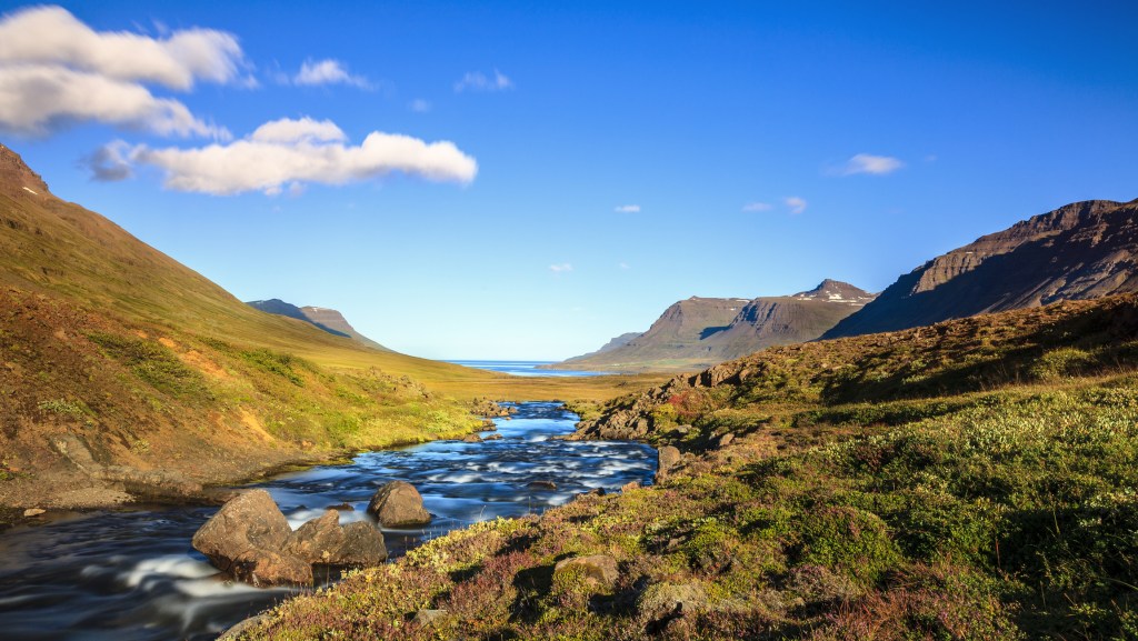
To spend a lot of time in the Eastfjords, Seyðisfjörður is your best option. Not only is the main ferry terminal that shuttles passengers to and from continental Europe here, along with some great places to stay, but the hiking is stupendous. You'll also find plenty of other outdoor fun to have.

Hiking Seyðisfjörður
Seyðisfjörður has quite a few trails to choose from, ranging in difficulty from easy to challenging. Hiking maps are available at the town’s tourist information center.
Vestdalseyri Nature Reserve Hike
Distance: 4 km (2.5 mi) round-trip; Hiking Time: 2.5 hours; Information and Maps: Seyðisfjörður tourist information center; Trailhead: Vestdalseyri entrance off Route 951
The Vestdalseyri Nature Reserve, about 1 km (0.6 mi) north of town, is a valley known for its many waterfalls and rich birdlife. It’s a beautiful place to roam and take in the mountain scenery. It contains an easy hike that is one of the most popular trails in Seyðisfjörður. You can start at the Vestdalseyri entrance and follow the trail. After passing a few glorious waterfalls, you will arrive at a small lake, Vestdalsvatn, which remains frozen most of the year.
Brimnes Hike
Distance: 5.5 km (3.4 mi) round-trip; Hiking Time: 2 hours; Information and Maps: Seyðisfjörður tourist information center; Trailhead: Selsstadir farm, signposted about 10 km (6.2 mi) from the center of town
The hike through Brimnes is another gem of a trek. Brimnes is on the north shore of Seyðisfjörður and was for centuries one of the major fishing villages in East Iceland. Start at the Selsstadir farm, which is signposted 10 km (6.2 miles) from the center of town, where you’ll find ruins of old buildings and a small orange lighthouse. A walk out to Brimnes in good weather with good visibility is memorable. Be sure to have your camera ready. This is a moderately difficult hike.
Skalanes Nature Reserve Hike
Distance: 9 km (5.6 mi) round-trip; Hiking Time: 2.5 hours; Information and Maps: Seyðisfjörður tourist information center; Trailhead: Parking area by the Austdalsa River
For an easy lowland hike, start from the parking area by the Austdalsa River and head to the nature reserve Skalanes, where there is a guesthouse and museum. This hike includes views of the gorgeous Skalanesbjarg bird cliffs, where you can see nesting eider ducks May-July. Please be mindful of nests and eggs and be careful where you step along the way.
Afrettadalur Valley Hike
Distance: 17 km (11 mi) round-trip; Hiking Time: 8 hours; Information and Maps: Seyðisfjörður tourist information center; Trailhead: Austdalsa parking area, 17 km (11 mi) east of Seyðisfjörður
A more challenging trail starts from Skalanes and goes up along the edge of the cliffs to the Skollaskard pass, which is steep. You continue on into a valley, Afrettadalur. The landscape is breathtaking, but be careful to monitor weather conditions. The hike has an elevation gain of 643 m (2,110 ft).
Brekka Settlement Hike
Distance: 24 km (15 mi) round-trip; Hiking Time: 14 hours; Information and Maps: Seyðisfjörður tourist information center; Trailhead: Austdalsa parking area, 17 km (11 mi) east of Seyðisfjörður
Experienced hikers with endurance should check out the historical trail that leads from the Austdalsa parking area up past the abandoned farmstead Austdalur. It’s extremely important to follow the trail posts down into the Brekkugja opening and to be careful when crossing the snowbanks above it before continuing down the Brekkudalur valley to the Brekka settlement, a historic village. The highest elevation is 781 m (2,563 ft), and the trail has some steep climbs. This is typically done as a long day hike strictly in June-August while monitoring weather conditions.
Other Sports and Recreation near Seyðisfjörður
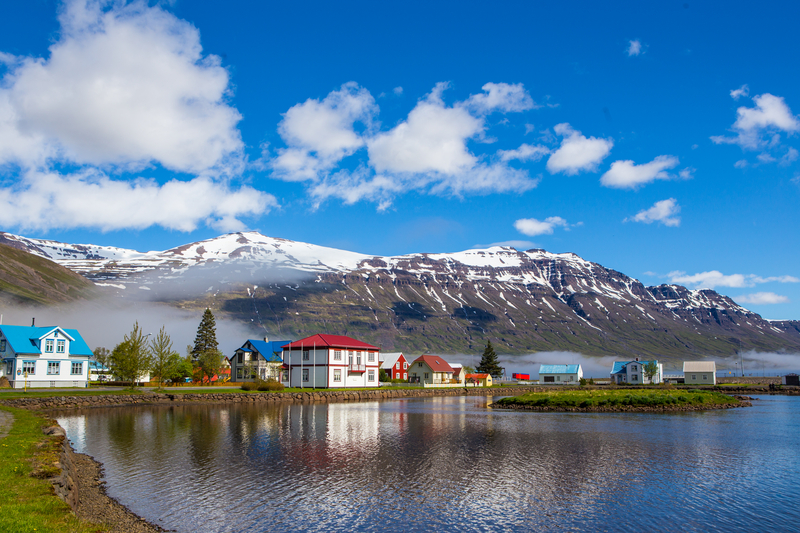
Stafdalur Ski Area
tel. 354/898-2798; www.stafdalur.is; Dec.-May; lift tickets 3,000ISK Tues.-Fri., 4,000ISK Sat.-Sun. and holidays
The Stafdalur Ski Area is 9 km (5.6 mi) southwest from Seyðisfjörður and has a 1,000-m (3,280-ft) ski lift as well as a lift for children. Cross-country skiing and snowmobiling are possible from the ski area; there is excellent access for snowmobiles from the ski area to magnificent mountains, deserted fjords, and the famous Dyrfjöll mountains. Rentals are available for skis, boots, poles, and snowboards.
Sundhöll Seyðisfjörður Swimming Pool
Suðurgata 5; tel. 354/470-2340; 7am-10am and 4pm-8pm Mon.-Fri., 11am-2pm Sat.; 1,150ISK
The town swimming pool, Sundhöll Seyðisfjörður, is small, but it’s frequented by locals and their children. If the weather is bad, a dip in one of the hot tubs is divine.
Pin It for Later


To spend a lot of time in the Eastfjords, Seyðisfjörður is your best option. Not only is the main ferry terminal that shuttles passengers to and from continental Europe here, along with some great places to stay, but the hiking is stupendous. You'll also find plenty of other outdoor fun to have.

Hiking Seyðisfjörður
Seyðisfjörður has quite a few trails to choose from, ranging in difficulty from easy to challenging. Hiking maps are available at the town’s tourist information center.
Vestdalseyri Nature Reserve Hike
Distance: 4 km (2.5 mi) round-trip; Hiking Time: 2.5 hours; Information and Maps: Seyðisfjörður tourist information center; Trailhead: Vestdalseyri entrance off Route 951
The Vestdalseyri Nature Reserve, about 1 km (0.6 mi) north of town, is a valley known for its many waterfalls and rich birdlife. It’s a beautiful place to roam and take in the mountain scenery. It contains an easy hike that is one of the most popular trails in Seyðisfjörður. You can start at the Vestdalseyri entrance and follow the trail. After passing a few glorious waterfalls, you will arrive at a small lake, Vestdalsvatn, which remains frozen most of the year.
Brimnes Hike
Distance: 5.5 km (3.4 mi) round-trip; Hiking Time: 2 hours; Information and Maps: Seyðisfjörður tourist information center; Trailhead: Selsstadir farm, signposted about 10 km (6.2 mi) from the center of town
The hike through Brimnes is another gem of a trek. Brimnes is on the north shore of Seyðisfjörður and was for centuries one of the major fishing villages in East Iceland. Start at the Selsstadir farm, which is signposted 10 km (6.2 miles) from the center of town, where you’ll find ruins of old buildings and a small orange lighthouse. A walk out to Brimnes in good weather with good visibility is memorable. Be sure to have your camera ready. This is a moderately difficult hike.
Skalanes Nature Reserve Hike
Distance: 9 km (5.6 mi) round-trip; Hiking Time: 2.5 hours; Information and Maps: Seyðisfjörður tourist information center; Trailhead: Parking area by the Austdalsa River
For an easy lowland hike, start from the parking area by the Austdalsa River and head to the nature reserve Skalanes, where there is a guesthouse and museum. This hike includes views of the gorgeous Skalanesbjarg bird cliffs, where you can see nesting eider ducks May-July. Please be mindful of nests and eggs and be careful where you step along the way.
Afrettadalur Valley Hike
Distance: 17 km (11 mi) round-trip; Hiking Time: 8 hours; Information and Maps: Seyðisfjörður tourist information center; Trailhead: Austdalsa parking area, 17 km (11 mi) east of Seyðisfjörður
A more challenging trail starts from Skalanes and goes up along the edge of the cliffs to the Skollaskard pass, which is steep. You continue on into a valley, Afrettadalur. The landscape is breathtaking, but be careful to monitor weather conditions. The hike has an elevation gain of 643 m (2,110 ft).
Brekka Settlement Hike
Distance: 24 km (15 mi) round-trip; Hiking Time: 14 hours; Information and Maps: Seyðisfjörður tourist information center; Trailhead: Austdalsa parking area, 17 km (11 mi) east of Seyðisfjörður
Experienced hikers with endurance should check out the historical trail that leads from the Austdalsa parking area up past the abandoned farmstead Austdalur. It’s extremely important to follow the trail posts down into the Brekkugja opening and to be careful when crossing the snowbanks above it before continuing down the Brekkudalur valley to the Brekka settlement, a historic village. The highest elevation is 781 m (2,563 ft), and the trail has some steep climbs. This is typically done as a long day hike strictly in June-August while monitoring weather conditions.
Other Sports and Recreation near Seyðisfjörður

Stafdalur Ski Area
tel. 354/898-2798; www.stafdalur.is; Dec.-May; lift tickets 3,000ISK Tues.-Fri., 4,000ISK Sat.-Sun. and holidays
The Stafdalur Ski Area is 9 km (5.6 mi) southwest from Seyðisfjörður and has a 1,000-m (3,280-ft) ski lift as well as a lift for children. Cross-country skiing and snowmobiling are possible from the ski area; there is excellent access for snowmobiles from the ski area to magnificent mountains, deserted fjords, and the famous Dyrfjöll mountains. Rentals are available for skis, boots, poles, and snowboards.
Sundhöll Seyðisfjörður Swimming Pool
Suðurgata 5; tel. 354/470-2340; 7am-10am and 4pm-8pm Mon.-Fri., 11am-2pm Sat.; 1,150ISK
The town swimming pool, Sundhöll Seyðisfjörður, is small, but it’s frequented by locals and their children. If the weather is bad, a dip in one of the hot tubs is divine.
Pin It for Later

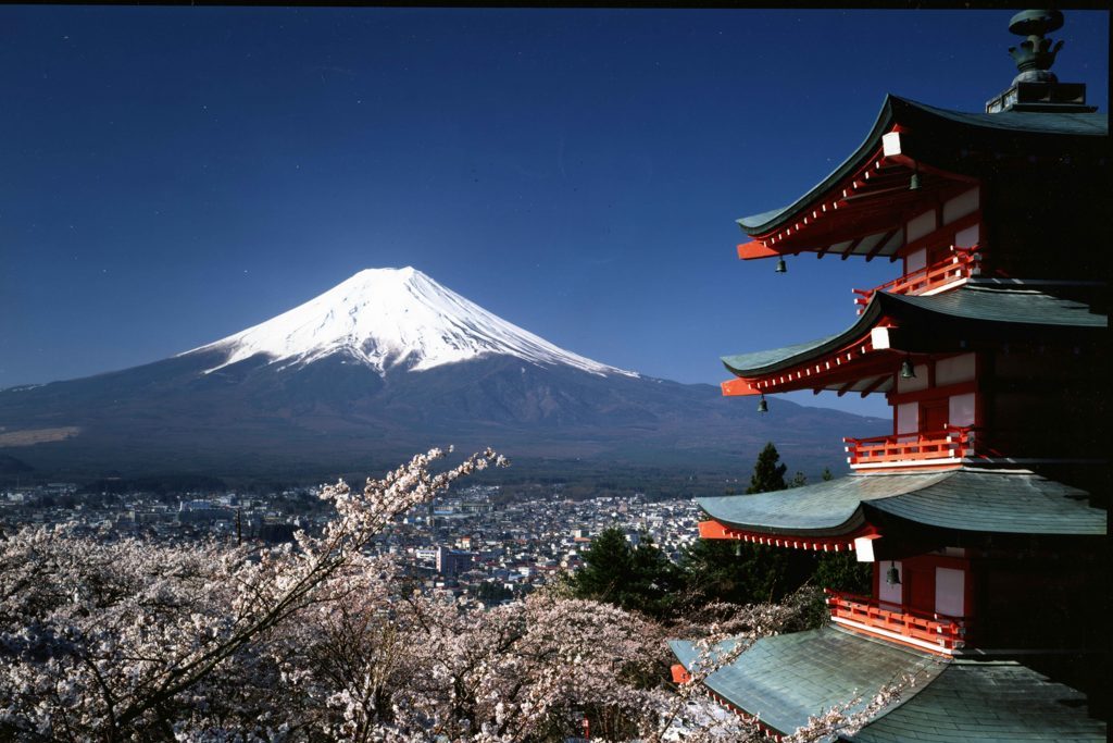
Wondering what to do with 14 days in Japan? This travel itinerary is a good choice for visitors making their first journey to Japan and can be done largely by train (local, express, and bullet train), with a few legs of the trip done by rental car or ferry. You’ll see urban jungles, traditional temples, gorgeous scenery, fascinating historic sites, and you’ll eat very well along the way.
If this itinerary seems a bit ambitious, you could leave off Kanazawa and the Japan Alps and give yourself a buffer day or two in Tokyo and Kyoto.
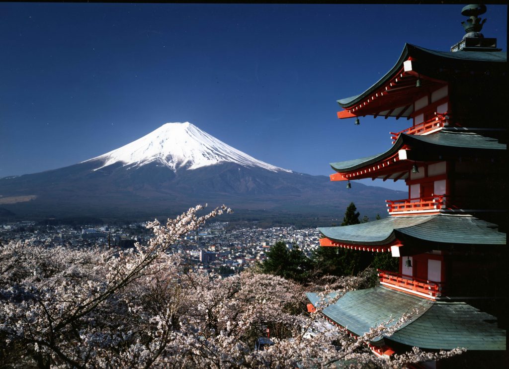
This itinerary assumes you will start exploring the day after you arrive (in either Narita or Haneda). The first night, just plan on getting to your accommodation and sleeping off some jetlag.
Tokyo
For your time in Tokyo, the western districts of Shinjuku or Shibuya or the upscale area around Tokyo Station would each be a good place to base yourself.
Day 1
Get acquainted with Tokyo’s modern side by exploring Shinjuku, Shibuya, and Harajuku. Start at Meiji Jingū, Tokyo’s most impressive shrine, then wander through the side streets of the sprawling district of Harajuku, ground zero for youth fashion in Japan. Proceed down Omotesando and its high-end shops to Aoyama, where you’ll find the Nezu Museum’s collection of premodern Asian art and a wonderful garden. Make your way to Shibuya, the beating heart of Japanese youth culture and home to the world’s busiest intersection; ascend to the top of Shibuya Sky for a bird’s-eye view of the action. Finish your night with dinner and drinks at a lively izakaya in trendy Ebisu. After you’ve eaten, go for cocktails or to one of the city’s many excellent DJ bars nearby.
Day 2
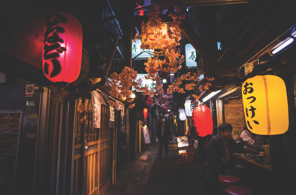
Start the day by exploring the slower, old-school neighborhoods on the east side of town. Begin with a trip to the colorful Buddhist temple Sensō-ji in Asaskusa, then head west to Ueno, famed for its massive park and the Tokyo National Museum, which houses the world’s largest collection of Japanese art. Proceed to nearby Akihabara, the best spot to glimpse some of Japan’s quirky subcultures, chief of them being otaku, a catch-all word for all things geek. End the day in Shinjuku, eating dinner in the smoky alleyway of hole-in-the-wall restaurants that is Omoide Yokochō, followed by a bar crawl through Golden Gai’s drinking dens.
Hakone
Day 3
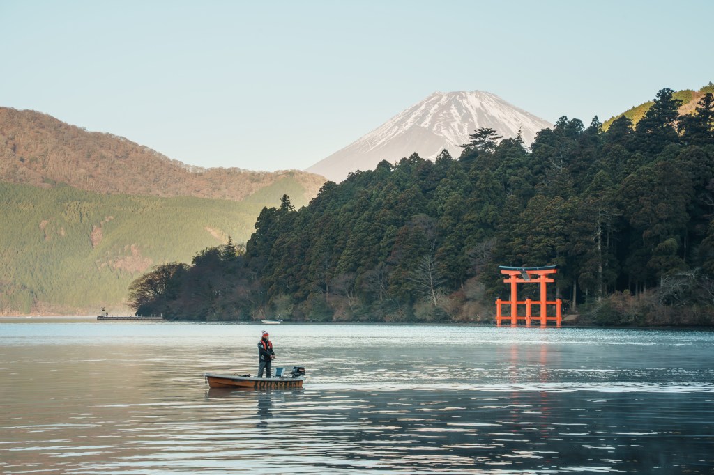
Leave the mega-city of Tokyo for the hot spring mecca of Hakone, located a few hours by train southwest of Tokyo. Check into a ryokan (traditional inn) and spend the day soaking in onsen baths, donning a yukata (lightweight kimono) and enjoying Japan’s legendary spirit of hospitality (omotenashi)—all with the chance of a view of Mount Fuji if the weather is clear.
Day 4
Spend one more day relaxing in your ryokan, availing yourself of the bath. In the afternoon, venture out for a few hours to explore the area, starting with Hakone Open-Air Museum. It’s easy to spend a few hours exploring this striking mix of sculptures amid beautiful natural surroundings. Next, ride the Hakone Ropeway to Ōwakudani. If the weather is clear, you’ll catch a glimpse of Mount Fuji in the distance as you float above the volcanic landscape shrouded in sulfuric mist. Return to your ryokan and get a good night’s sleep ahead of your first big train
journey in the morning.
Kyoto
Day 5
After breakfast, head to Odawara Station to hop on a shinkansen bound for Kyoto, a 3-hour ride. Drop off your bags at your accommodation, have
some lunch, and spend the afternoon exploring a few of the city’s major sights. Consider the hillside temple of Kiyomizu-dera, the majestic Pure
Land Buddhist temple of Chion-in, and maybe Nijō-jō castle. In the evening, splurge on a once-in-a-lifetime dinner at a kaiseki ryōri restaurant, followed by cocktails or whisky at one of Kyoto’s refined bars.
Day 6
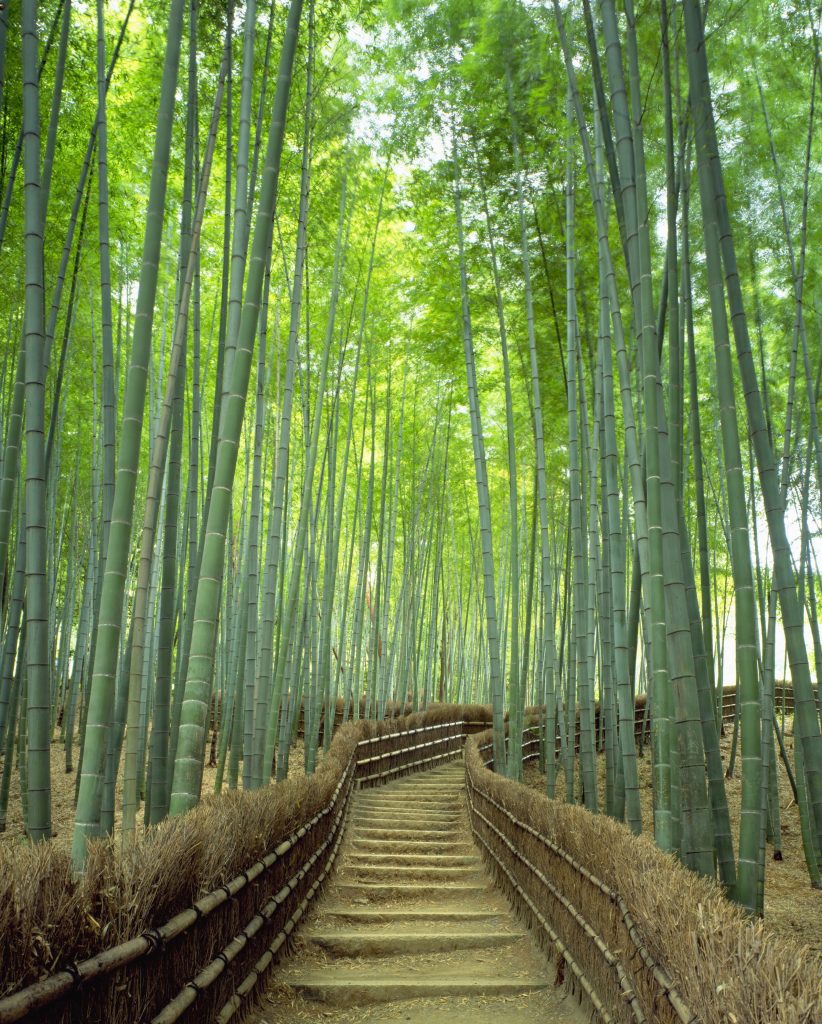
Discover Kyoto’s less-crowded side on your second day in the city. Head to Arashiyama’s famous bamboo grove after first exploring the
beautiful gardens of neighboring Tenryū-ji, and be sure to visit the less-crowded Ōkōchi Sansō Villa, once home to a Japanese movie star and famed for its sublime gardens and traditional architecture. The atmospheric temples of Jōjakkō-ji, Nison-in, Giō-ji, and Adashino
Nenbutsu-ji are all within 20 minutes’ walk north of the villa, with a fraction of the crowds that visit the grove. Backtrack to the Katsuragawa
and have lunch at one of the eateries lining the river. Make your way to Ryōan-ji to check out the temple’s rock garden and some of the other
famous sights in the area, such as the gold-leaf-covered Kinkaku-ji. Plan on having dinner in the Gion district, followed by a stroll down the
dreamy, lantern-lit alleyway of Ponto-chō.
Day 7
In the morning, make your way north to visit some of the spiritual gems of the Higashiyama neighborhood, from important Zen temple Nanzen ji to Ginkaku-ji, the silver companion to golden Kinkaku-ji, and the contemplation-inducing Philosopher’s Path. Be sure to check out low-key, moss-drenched Hōnen-in when you’re in the area. After lunch,
make your way to Fushimi Inari-Taisha, one of Japan’s most bewitching shrines and a sight that you’re sure to remember your whole life. If time allows, shop for traditional souvenirs. Kyūkyodō, a one-stop shop with an artsy bent, is a great starting point and your best bet if you’re
strapped for time. Spend your last evening in Kyoto enjoying dinner at one of the city’s elegant eateries.
Day 8
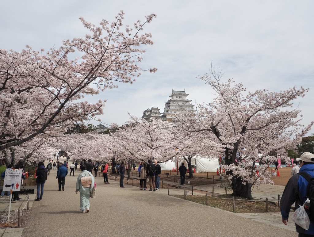
Leave Kyoto early in the morning, taking the shinkansen east to Himeji (2 hours). Visit Himeji-jō, easily Japan’s best castle. Spend a few hours on its extensive grounds and inside the structure itself, marveling at its construction and scale. Eat a quick lunch in Himeji, but save the bulk of your appetite until the evening, after you’ve made the journey to Osaka, 1 hour east on the JR line. Once in Osaka, spend the afternoon as a flaneur in the districts of Shinsaibashi, Amerika-mura, and Namba. For an early dinner, indulge in a food crawl through Osaka’s Dōtombori, where options include takoyaki (fried dough balls stuffed with octopus), okonomiyaki (savory pancakes—note the difference between Hiroshima’s spin on the dish), and kushikatsu (deep-fried skewers of meat, seafood, and veggies). Return to Kyoto.
Days 9-10
Whether you’d like to venture into the mountains or plant yourself on a beach, there are two compelling options with very different flavors for the next two-day stop. If you lean toward the former, opt for hiking a section of the Nakasendō Trail, set in the mountains of Central Honshu and easily accessible from Kyoto and Osaka by train. For the latter, fly to subtropical Okinawa in Japan’s far southwest.
Nakasendō Trail Option
Hop on the shinkansen to Nagoya (35-50 minutes), where you’ll then transfer to a limited-express train to Nakatsugawa (50 minutes) in Central Honshu. From Nakatsugawa, take a local bus (30 minutes) to the nearby medieval post town of Magome, your base for the next two nights. Spend the remainder of the day ambling through the town center with its Edo period (1603-1867) ambience. Get a good night’s rest in one of the charming local inns so that you’re ready for the next day’s hike along a section of the Nakasendō Trail. This path, which cuts through the lush Kiso Valley, was once traversed by lords and their samurai retainers as they moved between Kyoto and Edo (now Tokyo).
The next morning, strike out on the Nakasendō Trail, starting from Magome and bound for Tsumago, 8 km (5 mi) to the north. This walk, which takes around 3-4 hours, follows a gently descending path against a backdrop of distant mountains. Once you’ve reached Tsumago, linger for a bit at some of its inviting shops and then return to your inn back in Magome. You can either return on foot, backtracking along the same stretch of trail, or take the local bus from Tsumagobashi bus stop, near the historic town center of Tsumago, back to Magome (5 buses daily; 30 minutes). Enjoy one more evening relaxing at your inn before returning to Tokyo the next day.
After an early breakfast at your shukubō, leave Kōya-san and begin your journey west, toward the “art island” of Naoshima. This picturesque island in Japan’s gorgeous Inland Sea has developed a reputation for its eclectic modern art museums, sculptures dotting the landscape, and charming villages. But first, take the local train to Shin- Osaka, then hop on the bullet train to Himeji, 3.5 hours into your journey, to pay a visit to Japan’s greatest fortress, Himeji-jō (aka “White Heron” castle). Have lunch before continuing west to Okayama by shinkansen (20 minutes), transfer to the JR Uno-port line, and ride until the port of Uno (45 minutes). There, board a 20-minute ferry to Naoshima.
Okinawa Option
Catch an early-morning flight from Kansai International Airport (KIX) to Naha (2 hours 15 minutes), the capital of Okinawa Prefecture. After you check into your hotel, take the monorail to Shuri-jō, a UNESCO World Heritage Site. Although the hilltop castle was damaged in a fire in 2019, visitors could still stroll its grounds at the time of writing—not to mention get a great view of Naha below. Full reconstruction of the former seat of power of the Ryūkyū Kingdom is slated for completion in autumn 2026. Eat a traditional Okinawan lunch nearby at Shuri Horikawa, then peruse the island’s technicolor textiles at Shuri Ryusen. Ride the monorail 10 minutes into Naha’s downtown, where you can pore over pottery on Tsuboya Pottery Street, then stop for a cup of whisked tea known as bukubuku cha at Nuchigafu. Proceed on foot through the city’s lively Makishi Public Market as you make your way to Yūnangī, an izakaya with a menu built around the island’s classics. Be sure to try Okinawa’s potent booze, the spirit known as awamori.
On your second day in Okinawa, it’s all about the beach—take a jet foil to Zamami-jima, one of the islands in the Kerama island chain, less than an hour west of Naha, to while away the day on Furuzamami Beach. Snorkeling gear is available for rent at the beach. As the afternoon wears on, hop on a jet foil from Zamami-jima directly back to Naha, then return to your hotel to freshen up. For dinner and a traditional musical performance of Okinawa’s three-stringed instrument, the sanshin, head to Live House Shimauta. Return to your hotel and get a good night’s rest before your flight to Tokyo the next day.
Tokyo
Day 11
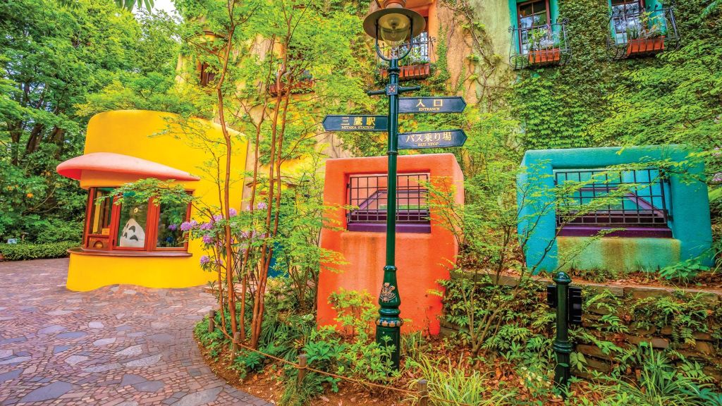
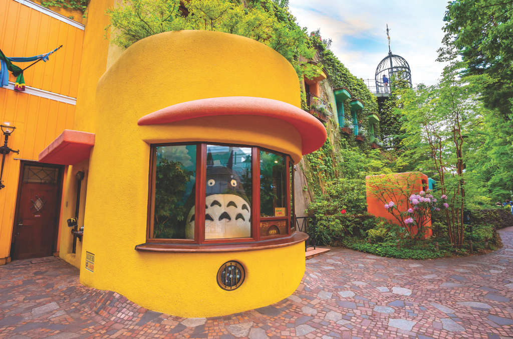
After flying from Naha to Tokyo (roughly 2 hours 15 minutes), check into your digs where you’ll stay for the rest of your trip. Head to the suburb of Kichijōji, 15-20 minutes west by train from central Tokyo. Enjoy a visit to the Ghibli Museum (advance reservations required), a quirky ode to anime director Hayao Miyazaki’s fictional universe set in the tranquil green space of Inokashira-kōen. Enjoy lunch at Café du Lièvre before making the leisurely trip back to the train, perhaps picking up a coffee and window-shopping along the way. Then, head to the hip enclave of Shimokitazawa. Here, you’ll find plenty of vintage clothes and atmospheric restaurants, and you can end your night with a drink or even some live music.
Day 12
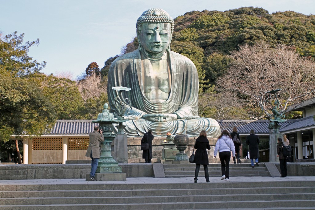
Eat breakfast and then head south about 1 hour by train to Kamakura, which served as feudal capital for a time. The seaside town is awash with spiritual heritage, including the temple of Kōtoku-in, home to the imposing Daibutsu (Great Buddha). Reach this bronze marvel via the recommended 3.4-km (2.1-mile) Daibutsu Trail, which runs through the green hills just west of town. Also visit Tsurugaoka Hachiman-gū, the city’s grandest shrine. Be sure to peruse the charming shops hawking local artisans’ crafts in Kamakura’s center, clustered along Komachi-dōri, before heading roughly 30 minutes north by train to Yokohama, Japan’s second-largest city. For dinner try Araiya, serving the city’s hearty beef hot pot. After dinner, sample some of Yokohama’s best craft beer haunts before returning to Tokyo, arriving in time to unwind before bedtime.
Day 13
For your last full day, take the express train to Nikko, a UNESCO World Heritage Site just 2 hours north of Tokyo. Entering the heritage area, you’ll cross the famed Shin-kyō, or Sacred Bridge, where it crosses the Daiya River. When you’ve worked up an appetite wandering the forested temples and shrines, break for a lunch of locally made yuba (tofu skin) at Shiori. Back in Tokyo, sample your way through a culinary alley and top off the night by barhopping in Golden Gai.
Day 14
Today your Japan journey comes to an end. You’ll fly out of Narita International Airport (NRT), a 1-hour ride from downtown on the Narita Express.
Start planning your adventure today
Pin it for Later
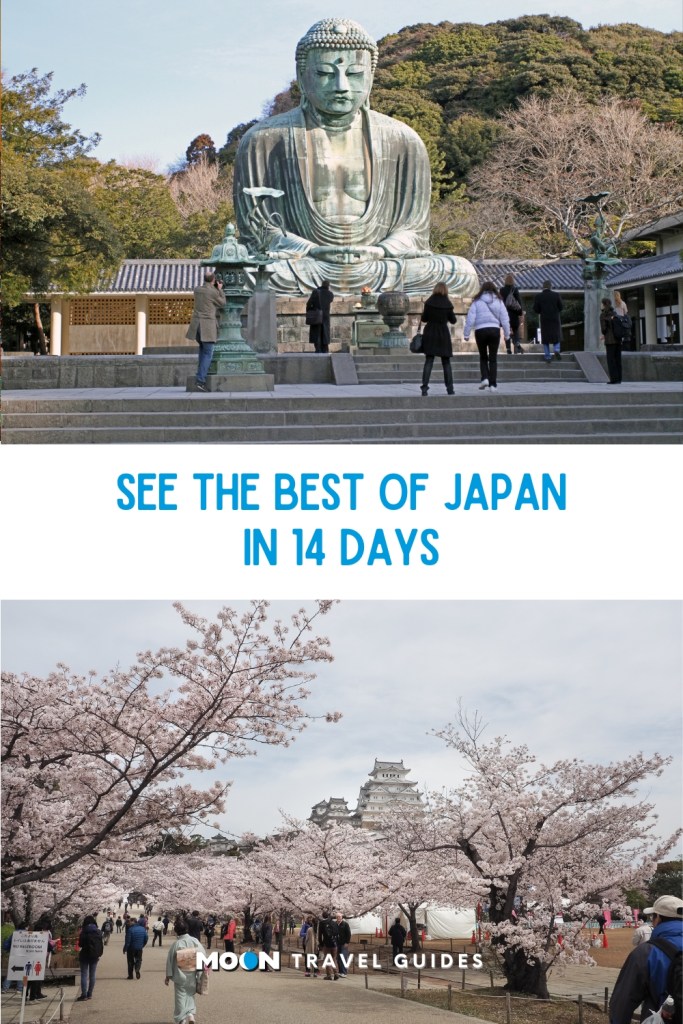
Discover more guides to Japan

Wondering what to do with 14 days in Japan? This travel itinerary is a good choice for visitors making their first journey to Japan and can be done largely by train (local, express, and bullet train), with a few legs of the trip done by rental car or ferry. You’ll see urban jungles, traditional temples, gorgeous scenery, fascinating historic sites, and you’ll eat very well along the way.
If this itinerary seems a bit ambitious, you could leave off Kanazawa and the Japan Alps and give yourself a buffer day or two in Tokyo and Kyoto.

This itinerary assumes you will start exploring the day after you arrive (in either Narita or Haneda). The first night, just plan on getting to your accommodation and sleeping off some jetlag.
Tokyo
For your time in Tokyo, the western districts of Shinjuku or Shibuya or the upscale area around Tokyo Station would each be a good place to base yourself.
Day 1
Get acquainted with Tokyo’s modern side by exploring Shinjuku, Shibuya, and Harajuku. Start at Meiji Jingū, Tokyo’s most impressive shrine, then wander through the side streets of the sprawling district of Harajuku, ground zero for youth fashion in Japan. Proceed down Omotesando and its high-end shops to Aoyama, where you’ll find the Nezu Museum’s collection of premodern Asian art and a wonderful garden. Make your way to Shibuya, the beating heart of Japanese youth culture and home to the world’s busiest intersection; ascend to the top of Shibuya Sky for a bird’s-eye view of the action. Finish your night with dinner and drinks at a lively izakaya in trendy Ebisu. After you’ve eaten, go for cocktails or to one of the city’s many excellent DJ bars nearby.
Day 2
Start the day by exploring the slower, old-school neighborhoods on the east side of town. Begin with a trip to the colorful Buddhist temple Sensō-ji in Asaskusa, then head west to Ueno, famed for its massive park and the Tokyo National Museum, which houses the world’s largest collection of Japanese art. Proceed to nearby Akihabara, the best spot to glimpse some of Japan’s quirky subcultures, chief of them being otaku, a catch-all word for all things geek. End the day in Shinjuku, eating dinner in the smoky alleyway of hole-in-the-wall restaurants that is Omoide Yokochō, followed by a bar crawl through Golden Gai’s drinking dens.
Hakone
Day 3

Leave the mega-city of Tokyo for the hot spring mecca of Hakone, located a few hours by train southwest of Tokyo. Check into a ryokan (traditional inn) and spend the day soaking in onsen baths, donning a yukata (lightweight kimono) and enjoying Japan’s legendary spirit of hospitality (omotenashi)—all with the chance of a view of Mount Fuji if the weather is clear.
Day 4
Spend one more day relaxing in your ryokan, availing yourself of the bath. In the afternoon, venture out for a few hours to explore the area, starting with Hakone Open-Air Museum. It’s easy to spend a few hours exploring this striking mix of sculptures amid beautiful natural surroundings. Next, ride the Hakone Ropeway to Ōwakudani. If the weather is clear, you’ll catch a glimpse of Mount Fuji in the distance as you float above the volcanic landscape shrouded in sulfuric mist. Return to your ryokan and get a good night’s sleep ahead of your first big train
journey in the morning.
Kyoto
Day 5
After breakfast, head to Odawara Station to hop on a shinkansen bound for Kyoto, a 3-hour ride. Drop off your bags at your accommodation, have
some lunch, and spend the afternoon exploring a few of the city’s major sights. Consider the hillside temple of Kiyomizu-dera, the majestic Pure
Land Buddhist temple of Chion-in, and maybe Nijō-jō castle. In the evening, splurge on a once-in-a-lifetime dinner at a kaiseki ryōri restaurant, followed by cocktails or whisky at one of Kyoto’s refined bars.
Day 6

Discover Kyoto’s less-crowded side on your second day in the city. Head to Arashiyama’s famous bamboo grove after first exploring the
beautiful gardens of neighboring Tenryū-ji, and be sure to visit the less-crowded Ōkōchi Sansō Villa, once home to a Japanese movie star and famed for its sublime gardens and traditional architecture. The atmospheric temples of Jōjakkō-ji, Nison-in, Giō-ji, and Adashino
Nenbutsu-ji are all within 20 minutes’ walk north of the villa, with a fraction of the crowds that visit the grove. Backtrack to the Katsuragawa
and have lunch at one of the eateries lining the river. Make your way to Ryōan-ji to check out the temple’s rock garden and some of the other
famous sights in the area, such as the gold-leaf-covered Kinkaku-ji. Plan on having dinner in the Gion district, followed by a stroll down the
dreamy, lantern-lit alleyway of Ponto-chō.
Day 7
In the morning, make your way north to visit some of the spiritual gems of the Higashiyama neighborhood, from important Zen temple Nanzen ji to Ginkaku-ji, the silver companion to golden Kinkaku-ji, and the contemplation-inducing Philosopher’s Path. Be sure to check out low-key, moss-drenched Hōnen-in when you’re in the area. After lunch,
make your way to Fushimi Inari-Taisha, one of Japan’s most bewitching shrines and a sight that you’re sure to remember your whole life. If time allows, shop for traditional souvenirs. Kyūkyodō, a one-stop shop with an artsy bent, is a great starting point and your best bet if you’re
strapped for time. Spend your last evening in Kyoto enjoying dinner at one of the city’s elegant eateries.
Day 8

Leave Kyoto early in the morning, taking the shinkansen east to Himeji (2 hours). Visit Himeji-jō, easily Japan’s best castle. Spend a few hours on its extensive grounds and inside the structure itself, marveling at its construction and scale. Eat a quick lunch in Himeji, but save the bulk of your appetite until the evening, after you’ve made the journey to Osaka, 1 hour east on the JR line. Once in Osaka, spend the afternoon as a flaneur in the districts of Shinsaibashi, Amerika-mura, and Namba. For an early dinner, indulge in a food crawl through Osaka’s Dōtombori, where options include takoyaki (fried dough balls stuffed with octopus), okonomiyaki (savory pancakes—note the difference between Hiroshima’s spin on the dish), and kushikatsu (deep-fried skewers of meat, seafood, and veggies). Return to Kyoto.
Days 9-10
Whether you’d like to venture into the mountains or plant yourself on a beach, there are two compelling options with very different flavors for the next two-day stop. If you lean toward the former, opt for hiking a section of the Nakasendō Trail, set in the mountains of Central Honshu and easily accessible from Kyoto and Osaka by train. For the latter, fly to subtropical Okinawa in Japan’s far southwest.
Nakasendō Trail Option
Hop on the shinkansen to Nagoya (35-50 minutes), where you’ll then transfer to a limited-express train to Nakatsugawa (50 minutes) in Central Honshu. From Nakatsugawa, take a local bus (30 minutes) to the nearby medieval post town of Magome, your base for the next two nights. Spend the remainder of the day ambling through the town center with its Edo period (1603-1867) ambience. Get a good night’s rest in one of the charming local inns so that you’re ready for the next day’s hike along a section of the Nakasendō Trail. This path, which cuts through the lush Kiso Valley, was once traversed by lords and their samurai retainers as they moved between Kyoto and Edo (now Tokyo).
The next morning, strike out on the Nakasendō Trail, starting from Magome and bound for Tsumago, 8 km (5 mi) to the north. This walk, which takes around 3-4 hours, follows a gently descending path against a backdrop of distant mountains. Once you’ve reached Tsumago, linger for a bit at some of its inviting shops and then return to your inn back in Magome. You can either return on foot, backtracking along the same stretch of trail, or take the local bus from Tsumagobashi bus stop, near the historic town center of Tsumago, back to Magome (5 buses daily; 30 minutes). Enjoy one more evening relaxing at your inn before returning to Tokyo the next day.
After an early breakfast at your shukubō, leave Kōya-san and begin your journey west, toward the “art island” of Naoshima. This picturesque island in Japan’s gorgeous Inland Sea has developed a reputation for its eclectic modern art museums, sculptures dotting the landscape, and charming villages. But first, take the local train to Shin- Osaka, then hop on the bullet train to Himeji, 3.5 hours into your journey, to pay a visit to Japan’s greatest fortress, Himeji-jō (aka “White Heron” castle). Have lunch before continuing west to Okayama by shinkansen (20 minutes), transfer to the JR Uno-port line, and ride until the port of Uno (45 minutes). There, board a 20-minute ferry to Naoshima.
Okinawa Option
Catch an early-morning flight from Kansai International Airport (KIX) to Naha (2 hours 15 minutes), the capital of Okinawa Prefecture. After you check into your hotel, take the monorail to Shuri-jō, a UNESCO World Heritage Site. Although the hilltop castle was damaged in a fire in 2019, visitors could still stroll its grounds at the time of writing—not to mention get a great view of Naha below. Full reconstruction of the former seat of power of the Ryūkyū Kingdom is slated for completion in autumn 2026. Eat a traditional Okinawan lunch nearby at Shuri Horikawa, then peruse the island’s technicolor textiles at Shuri Ryusen. Ride the monorail 10 minutes into Naha’s downtown, where you can pore over pottery on Tsuboya Pottery Street, then stop for a cup of whisked tea known as bukubuku cha at Nuchigafu. Proceed on foot through the city’s lively Makishi Public Market as you make your way to Yūnangī, an izakaya with a menu built around the island’s classics. Be sure to try Okinawa’s potent booze, the spirit known as awamori.
On your second day in Okinawa, it’s all about the beach—take a jet foil to Zamami-jima, one of the islands in the Kerama island chain, less than an hour west of Naha, to while away the day on Furuzamami Beach. Snorkeling gear is available for rent at the beach. As the afternoon wears on, hop on a jet foil from Zamami-jima directly back to Naha, then return to your hotel to freshen up. For dinner and a traditional musical performance of Okinawa’s three-stringed instrument, the sanshin, head to Live House Shimauta. Return to your hotel and get a good night’s rest before your flight to Tokyo the next day.
Tokyo

Day 11
After flying from Naha to Tokyo (roughly 2 hours 15 minutes), check into your digs where you’ll stay for the rest of your trip. Head to the suburb of Kichijōji, 15-20 minutes west by train from central Tokyo. Enjoy a visit to the Ghibli Museum (advance reservations required), a quirky ode to anime director Hayao Miyazaki’s fictional universe set in the tranquil green space of Inokashira-kōen. Enjoy lunch at Café du Lièvre before making the leisurely trip back to the train, perhaps picking up a coffee and window-shopping along the way. Then, head to the hip enclave of Shimokitazawa. Here, you’ll find plenty of vintage clothes and atmospheric restaurants, and you can end your night with a drink or even some live music.
Day 12

Eat breakfast and then head south about 1 hour by train to Kamakura, which served as feudal capital for a time. The seaside town is awash with spiritual heritage, including the temple of Kōtoku-in, home to the imposing Daibutsu (Great Buddha). Reach this bronze marvel via the recommended 3.4-km (2.1-mile) Daibutsu Trail, which runs through the green hills just west of town. Also visit Tsurugaoka Hachiman-gū, the city’s grandest shrine. Be sure to peruse the charming shops hawking local artisans’ crafts in Kamakura’s center, clustered along Komachi-dōri, before heading roughly 30 minutes north by train to Yokohama, Japan’s second-largest city. For dinner try Araiya, serving the city’s hearty beef hot pot. After dinner, sample some of Yokohama’s best craft beer haunts before returning to Tokyo, arriving in time to unwind before bedtime.
Day 13
For your last full day, take the express train to Nikko, a UNESCO World Heritage Site just 2 hours north of Tokyo. Entering the heritage area, you’ll cross the famed Shin-kyō, or Sacred Bridge, where it crosses the Daiya River. When you’ve worked up an appetite wandering the forested temples and shrines, break for a lunch of locally made yuba (tofu skin) at Shiori. Back in Tokyo, sample your way through a culinary alley and top off the night by barhopping in Golden Gai.
Day 14
Today your Japan journey comes to an end. You’ll fly out of Narita International Airport (NRT), a 1-hour ride from downtown on the Narita Express.
Start planning your adventure today
Pin it for Later

Discover more guides to Japan

Catch the last rays of summer magic and get these awesome August deals while they last – starting at just $1.99!
August 3, 2025
August 4 -10, 2025
August 5, 2025
August 6, 2025
August 7, 2025
August 14, 2025
August 15, 2025
August 16, 2025
August 17, 2025
August 18 – 24, 2025
August 18, 2025
August 19, 2025
August 20, 2025
August 22, 2025
August 25 – 31, 2025
August 27, 2025
August 29, 2025
August 31, 2025
MONTHLY DEALS
]]>
With thousands of temples and shrines in Japan, it can be hard to decide which ones to fit into one short trip. To help you narrow it down, we've rounded up the best temples and shrines in Japan that you won't want to miss.
What are Japanese temples called?
Need help keeping the names straight? In Shinto, the form of nature worship native to Japan, halls of worship are known as shrines (with names that include -jinja, -jingū, -gū, -hongū, Taisha, etc.), while in the case of the imported faith of Buddhism, they’re known as temples (with names that include -tera, -dera, -ji, -in, etc.).
Meiji Jingū
[caption id="attachment_817216" align="aligncenter" width="1024"] Meiji Jingū is a pleasant escape in the middle of Tokyo. Photo © Jonathan DeHart.[/caption]
Tokyo’s top shrine is set within an expansive swathe of green in the heart of the city that makes for a pleasant stroll and reprieve from the din outside.
Fushimi Inari-Taisha
With a famous walking path lined by thousands of vermillion torii gates, this complex in southeast Kyoto is the head shrine dedicated to Inari, the god of rice.
Kinkaku-ji
Originally the house of a retired shogun, the upper two floors of this Zen Buddhist temple in Kyoto are coated in gold leaf, inspiring the name “the Golden Pavilion.”
Tōdai-ji
[caption id="attachment_817227" align="aligncenter" width="1024"]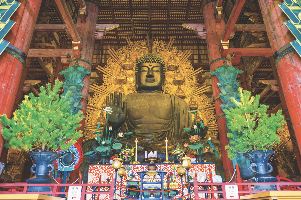 Nara's Tōdai-ji is awe-inspiring, inside and out. Photo © Jonathan DeHart.[/caption]
This temple in Nara is the largest wooden structure on earth, and it’s only two thirds the size of the original. It houses a 15-meter- (45-foot-) tall bronze Daibutsu (Great Buddha).
Okuno-in
Set amid soaring cedar trees, the cemetery, temple, and mausoleum is full of fierce guardian deities, moss-encrusted stone monuments, and stone lanterns.
Itsukushima-jinja
This shrine on the island of Miyajima near Hiroshima is famed for its torii gate that seemingly floats on the Inland Sea during high tide.
Ise-Jingū
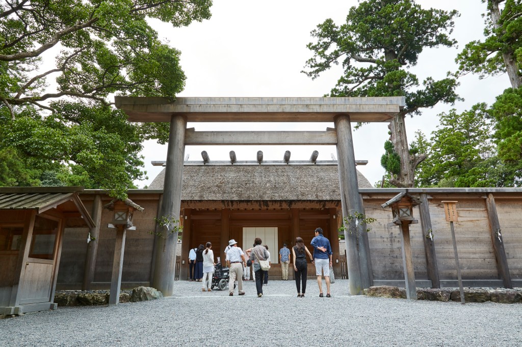
[caption id="attachment_817219" align="aligncenter" width="1024"] Immerse yourself in history at Ise-Jingū, Shinto's holiest shrine. Photo courtesy of Jonathan DeHart.[/caption]
Shinto’s holiest shrine, Ise’s spell is woven through its sheer simplicity. The shrine has been dismantled and rebuilt every 20 years for the past 1,300 years.
Yamadera
This remote temple complex sprawls over a mountainside in deep Tohoku, reached by a steep path lined by stone lanterns and Buddhist statuary.
Start planning your adventure today
Pin it for later

Discover more of Japan

With thousands of temples and shrines in Japan, it can be hard to decide which ones to fit into one short trip. To help you narrow it down, we've rounded up the best temples and shrines in Japan that you won't want to miss.
What are Japanese temples called?
Need help keeping the names straight? In Shinto, the form of nature worship native to Japan, halls of worship are known as shrines (with names that include -jinja, -jingū, -gū, -hongū, Taisha, etc.), while in the case of the imported faith of Buddhism, they’re known as temples (with names that include -tera, -dera, -ji, -in, etc.).
Meiji Jingū
[caption id="attachment_817216" align="aligncenter" width="1024"] Meiji Jingū is a pleasant escape in the middle of Tokyo. Photo © Jonathan DeHart.[/caption]
Tokyo’s top shrine is set within an expansive swathe of green in the heart of the city that makes for a pleasant stroll and reprieve from the din outside.
Fushimi Inari-Taisha
With a famous walking path lined by thousands of vermillion torii gates, this complex in southeast Kyoto is the head shrine dedicated to Inari, the god of rice.
Kinkaku-ji
Originally the house of a retired shogun, the upper two floors of this Zen Buddhist temple in Kyoto are coated in gold leaf, inspiring the name “the Golden Pavilion.”
Tōdai-ji
[caption id="attachment_817227" align="aligncenter" width="1024"] Nara's Tōdai-ji is awe-inspiring, inside and out. Photo © Jonathan DeHart.[/caption]
This temple in Nara is the largest wooden structure on earth, and it’s only two thirds the size of the original. It houses a 15-meter- (45-foot-) tall bronze Daibutsu (Great Buddha).
Okuno-in
Set amid soaring cedar trees, the cemetery, temple, and mausoleum is full of fierce guardian deities, moss-encrusted stone monuments, and stone lanterns.
Itsukushima-jinja
This shrine on the island of Miyajima near Hiroshima is famed for its torii gate that seemingly floats on the Inland Sea during high tide.
Ise-Jingū
[caption id="attachment_817219" align="aligncenter" width="1024"] Immerse yourself in history at Ise-Jingū, Shinto's holiest shrine. Photo courtesy of Jonathan DeHart.[/caption]
Shinto’s holiest shrine, Ise’s spell is woven through its sheer simplicity. The shrine has been dismantled and rebuilt every 20 years for the past 1,300 years.
Yamadera
This remote temple complex sprawls over a mountainside in deep Tohoku, reached by a steep path lined by stone lanterns and Buddhist statuary.
Start planning your adventure today
Pin it for later

Discover more of Japan

Tokyo is more than a city. Japan’s sprawling capital bursts at the seams with a population of 37 million to form the largest metro area on the planet. With the neon nightscapes of Shinjuku and Shibuya in the west, the ancient temples and wooden houses of Ueno and Asakusa in the east, and palpable energy coursing throughout, Tokyo packs a strong sensory punch.
Here are the best things to do in Tokyo—all worthy of your bucket list:
Shibuya Crossing
Simply crossing the world’s busiest pedestrian intersection will leave you gobsmacked by Tokyo’s formidable pulse.

Harajuku
Ground zero for Japan’s colorful youth fashion scene, this neighborhood is full of hip boutiques clustered around the busy thoroughfare of Omotesandō and tucked down a dense tangle of pedestrian-friendly backstreets.
Meiji Jingū
Surrounded by forest, this majestic Shinto shrine provides an oasis of calm just beyond the fashionable throngs of Harajuku.
Tokyo City View and Sky Deck
Tokyo City View offers one of the most thrilling ways to get the lay of the land. Ascend to the Sky Deck on the building’s roof for windowless views in all directions.
Ghibli Museum
This fantastical museum dedicated to Japan’s most beloved anime studio, Studio Ghibli, sits within Inokashira-kōen, one of Tokyo’s most appealing parks.
Sensō-ji
Tokyo’s most famous temple houses a golden image of the Buddhist Goddess of Mercy.
Tokyo National Museum
If you only have time for one museum in your Tokyo itinerary, make it this one—it holds the world’s largest collection of Japanese art.
Dining with locals in a culinary alley
Take a seat beside locals at a hole-in-the-wall eatery in one of Tokyo’s numerous yokochō (culinary alleys) for a meal and an experience you won’t forget.
Nightlife in Shinjuku
Tokyo’s most eclectic nightlife zone offers experiences from robot battles to pub crawls through the tumbledown bars of Golden Gai.
Start planning your adventure today:
Pin it for Later
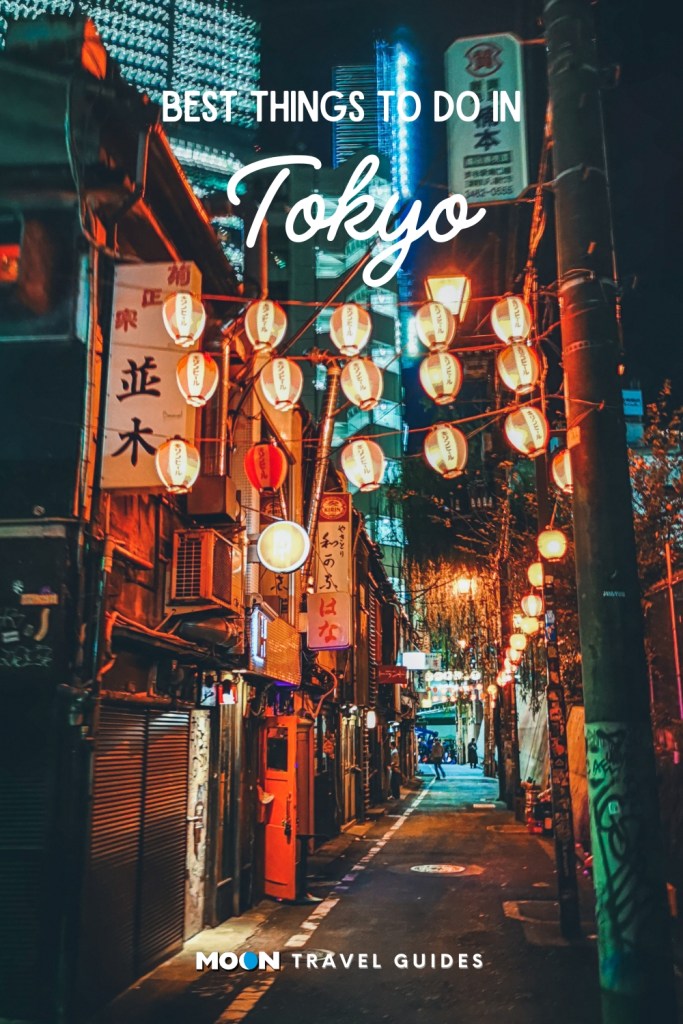

Tokyo is more than a city. Japan’s sprawling capital bursts at the seams with a population of 37 million to form the largest metro area on the planet. With the neon nightscapes of Shinjuku and Shibuya in the west, the ancient temples and wooden houses of Ueno and Asakusa in the east, and palpable energy coursing throughout, Tokyo packs a strong sensory punch.
Here are the best things to do in Tokyo—all worthy of your bucket list:
Shibuya Crossing
Simply crossing the world’s busiest pedestrian intersection will leave you gobsmacked by Tokyo’s formidable pulse.

Harajuku
Ground zero for Japan’s colorful youth fashion scene, this neighborhood is full of hip boutiques clustered around the busy thoroughfare of Omotesandō and tucked down a dense tangle of pedestrian-friendly backstreets.
Meiji Jingū
Surrounded by forest, this majestic Shinto shrine provides an oasis of calm just beyond the fashionable throngs of Harajuku.
Tokyo City View and Sky Deck
Tokyo City View offers one of the most thrilling ways to get the lay of the land. Ascend to the Sky Deck on the building’s roof for windowless views in all directions.
Ghibli Museum
This fantastical museum dedicated to Japan’s most beloved anime studio, Studio Ghibli, sits within Inokashira-kōen, one of Tokyo’s most appealing parks.

Sensō-ji
Tokyo’s most famous temple houses a golden image of the Buddhist Goddess of Mercy.
Tokyo National Museum
If you only have time for one museum in your Tokyo itinerary, make it this one—it holds the world’s largest collection of Japanese art.
Dining with locals in a culinary alley
Take a seat beside locals at a hole-in-the-wall eatery in one of Tokyo’s numerous yokochō (culinary alleys) for a meal and an experience you won’t forget.

Nightlife in Shinjuku
Tokyo’s most eclectic nightlife zone offers experiences from robot battles to pub crawls through the tumbledown bars of Golden Gai.
Start planning your adventure today:
Pin it for Later

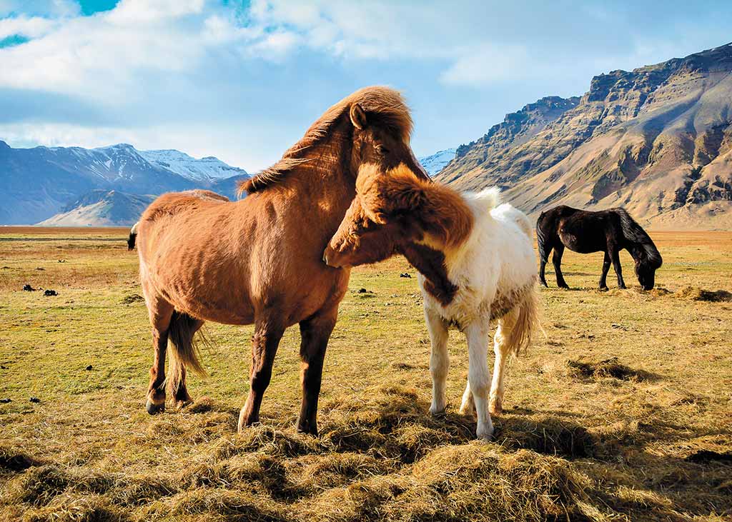
Iceland may not be known for its land mammals—other than sheep, cows, horses, reindeer, and the arctic fox—but animals in the ocean and sky are varied and ample. Sheep, cows, and horses can be found in every region of the island, but reindeer are only found in East Iceland. There are no reptiles or amphibians on the island. The only animal indigenous to Iceland is the arctic fox.
Fish
Fish are the lifeblood of Iceland: They sustain its inhabitants and serve as the country’s biggest trade resource. The waters surrounding Iceland support cod, haddock, catfish, mussels, halibut, plaice, lumpfish, monkfish, skate, and Greenland shark. Native to Icelandic river waters are salmon, trout, and arctic char.
Seals
Several species of seals call Iceland home, with harbor seals and gray seals being the most common. There are seal-watching sites in the north of Iceland; at Hvammstangi, there’s a seal center that’s a museum, information center, and seal-watching enterprise. Harbor seals are more commonly seen because they spend more time on land, whereas gray seals prefer the ocean. Harp, ringed, hooded, and bearded seals are also spotted in Iceland, but these are rarer.
Whales
Whale-watching is a spectacular way to spend an afternoon in Iceland, and there are several species to see, depending on where you set out on your excursion. High season for whales is May-October, and 14 species of cetaceans have been seen off the coasts of the island: blue, fin, minke, pilot, humpback, sei, orca, sperm, bottlenose, beluga, and narwhal whales, as well as white-beaked dolphins, white-sided dolphins, and harbor porpoises. The best places for whale-watching are Reykjavík in the south, Snæfellsnes in the west, and Húsavík and Akureyri in the north.

Birds
Bird-watchers are delighted when they visit, as there are more than 300 species of birds in Iceland. The island is a stopover for birds migrating between North America and Europe, and common species are ravens, eider ducks, arctic terns, Iceland gulls, white gulls, black-headed gulls, skuas, white-tailed eagles, gannets, fulmars, kittiwakes, and oystercatchers.
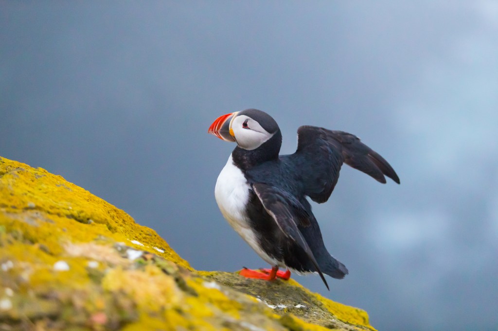
The bird that has become synonymous with Iceland is the adorable puffin, with its black and white body, bright orange feet, and colorful red, blue, and orange beak. Puffins are remarkable swimmers and divers, able to dive underwater and surface with as many as 10 small fish in their beaks in under a minute. While exceptional in water, puffins are clumsy in flight and are known for their uneven landings on land. It’s part of their charm. Millions of puffins call Iceland home, although their numbers have dwindled over the years. It’s possible to see puffins during the summer in areas including the Westman Islands, Grímsey, and the Látrabjarg cliffs in the Westfjords. Puffins are not aggressive, and if you get too close, they will fly away.
Heading to Iceland?
Pin It for Later

Iceland may not be known for its land mammals—other than sheep, cows, horses, reindeer, and the arctic fox—but animals in the ocean and sky are varied and ample. Sheep, cows, and horses can be found in every region of the island, but reindeer are only found in East Iceland. There are no reptiles or amphibians on the island. The only animal indigenous to Iceland is the arctic fox.

Fish
Fish are the lifeblood of Iceland: They sustain its inhabitants and serve as the country’s biggest trade resource. The waters surrounding Iceland support cod, haddock, catfish, mussels, halibut, plaice, lumpfish, monkfish, skate, and Greenland shark. Native to Icelandic river waters are salmon, trout, and arctic char.
Seals
Several species of seals call Iceland home, with harbor seals and gray seals being the most common. There are seal-watching sites in the north of Iceland; at Hvammstangi, there’s a seal center that’s a museum, information center, and seal-watching enterprise. Harbor seals are more commonly seen because they spend more time on land, whereas gray seals prefer the ocean. Harp, ringed, hooded, and bearded seals are also spotted in Iceland, but these are rarer.
Whales
Whale-watching is a spectacular way to spend an afternoon in Iceland, and there are several species to see, depending on where you set out on your excursion. High season for whales is May-October, and 14 species of cetaceans have been seen off the coasts of the island: blue, fin, minke, pilot, humpback, sei, orca, sperm, bottlenose, beluga, and narwhal whales, as well as white-beaked dolphins, white-sided dolphins, and harbor porpoises. The best places for whale-watching are Reykjavík in the south, Snæfellsnes in the west, and Húsavík and Akureyri in the north.

Birds
Bird-watchers are delighted when they visit, as there are more than 300 species of birds in Iceland. The island is a stopover for birds migrating between North America and Europe, and common species are ravens, eider ducks, arctic terns, Iceland gulls, white gulls, black-headed gulls, skuas, white-tailed eagles, gannets, fulmars, kittiwakes, and oystercatchers.
The bird that has become synonymous with Iceland is the adorable puffin, with its black and white body, bright orange feet, and colorful red, blue, and orange beak. Puffins are remarkable swimmers and divers, able to dive underwater and surface with as many as 10 small fish in their beaks in under a minute. While exceptional in water, puffins are clumsy in flight and are known for their uneven landings on land. It’s part of their charm. Millions of puffins call Iceland home, although their numbers have dwindled over the years. It’s possible to see puffins during the summer in areas including the Westman Islands, Grímsey, and the Látrabjarg cliffs in the Westfjords. Puffins are not aggressive, and if you get too close, they will fly away.
Heading to Iceland?
Pin It for Later


Iceland’s animals, found on land, sea, and air, are quite special, starting with everyone’s favorite bird, the puffin. These adorable birds are the unofficial mascot of Iceland, and there are numerous opportunities for tours in the summer months. Whales, dolphins, and seals are the main attractions of the sea; on land, you will see plenty of horses and sheep, but it will take a little more effort to catch a glimpse of the arctic fox (in the Westfjords) and reindeer (in the east).
Puffins
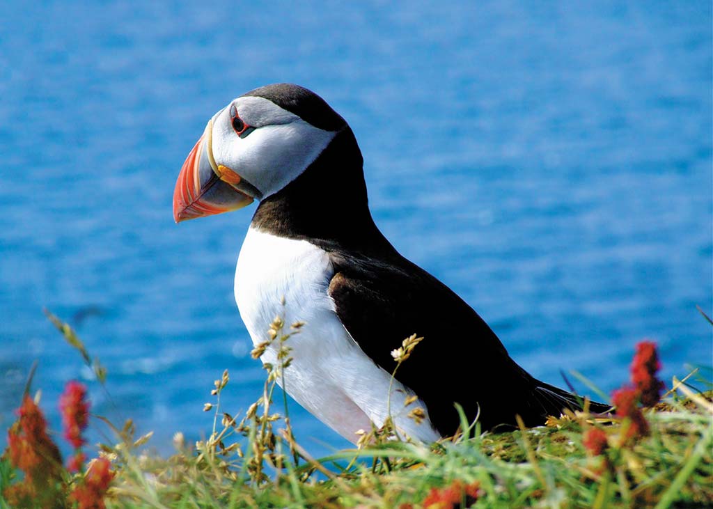
May-August, it’s possible to see puffins in several parts of the country.
- Heimaey: Thousands of visitors flock to this island off the South Coast to walk along the sea cliffs and spend time with its puffin population (June-Aug).
- Látrabjarg: In West Iceland, trails allow you to access the colossal Látrabjarg cliffs, where puffins gather to nest in intricate crevices (May-Aug).
- Borgarfjörður Eystri: Get a close-up view of puffins at this fjord in East Iceland, which has an observation platform connected to a small islet that the birds love (mid-Apr.-mid-Aug.).
Whales and Dolphins
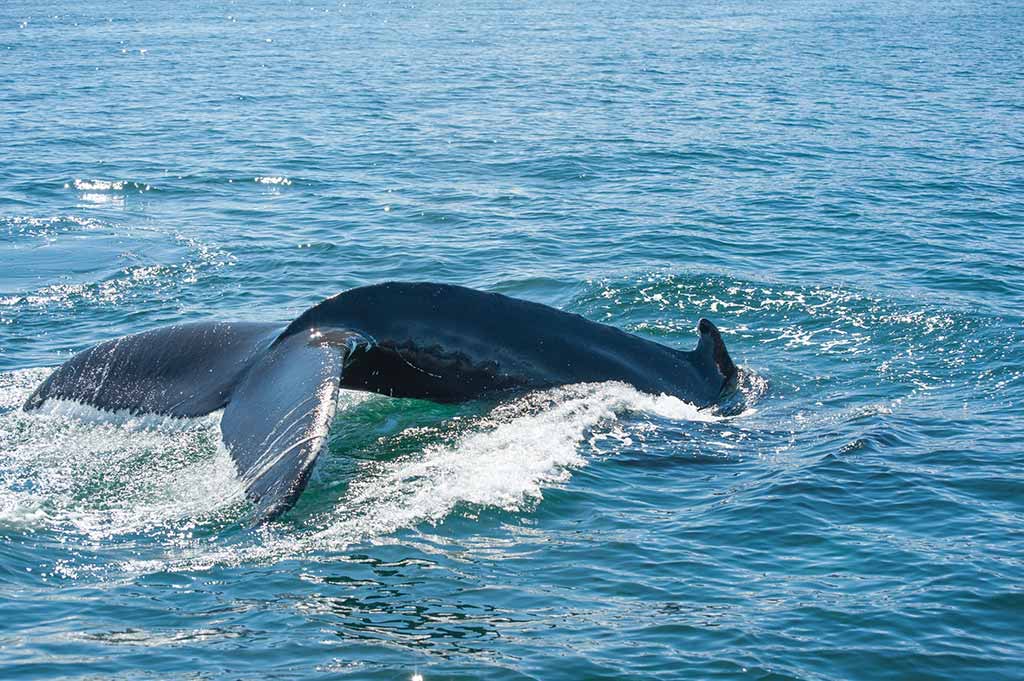
Several whale-watching tour companies operate around the island. Some head out year-round, while others only operate in summer. The main whale-watching destinations are in the south (Reykjavík), west (Grundarfjörður), and north (Dalvík and Húsavík).
- Reykjavík: Operating from Reykjavík’s harbor, whale-watching tours offer opportunities to see minke, blue, and fin whales as well as dolphins and porpoises (year-round).
- Grundarfjörður: This western town is your best shot at catching a glimpse of orcas. It’s possible to see orcas year-round, but it is more likely during the winter months.
- Dalvík: You may see humpback whales, minke whales, blue whales, harbor porpoises, and dolphins on tours leaving from the harbor of this small northern fishing town (year-round).
- Húsavík: The unofficial whale-watching capital of the island has several species off its shores, including minke, humpback, pilot, northern bottlenose, sperm, sei, fin, orca, and blue whales (mid-May-late Oct.).
- Heimaey: Iceland's beluga whale sanctuary is a lovely place to visit if you are heading to the Westman Islands.
Seals
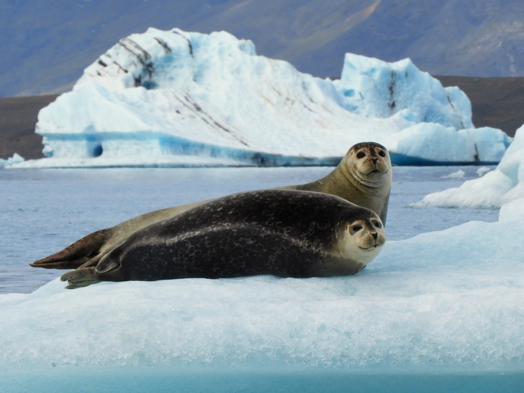
Six species of seals have been spotted off the coast of Iceland. Most commonly sighted are gray seals and harbor seals. The other four species (hooded, harp, bearded, and ringed seals) are hit or miss.
- Vatnsnes Peninsula: In summer, you have a good chance of spotting gray seals and harbor seals around this peninsula in the north.
- Icelandic Seal Center: Also on the Vatnsnes Peninsula, the Icelandic Seal Center contains some wonderful exhibits, along with information on the best sites for seal-spotting.
Arctic Fox
The arctic fox is the only land animal native to Iceland, and you'll see the largest populations of them where birdlife is most abundant: in the Westfjords.
- Arctic Fox Center: At the Arctic Fox Center in the Westfjords, travelers can meet some kits on-site.
- Hornstrandir Nature Reserve: Foxes are protected from hunting in this region, and they thrive at this reserve.
Reindeer
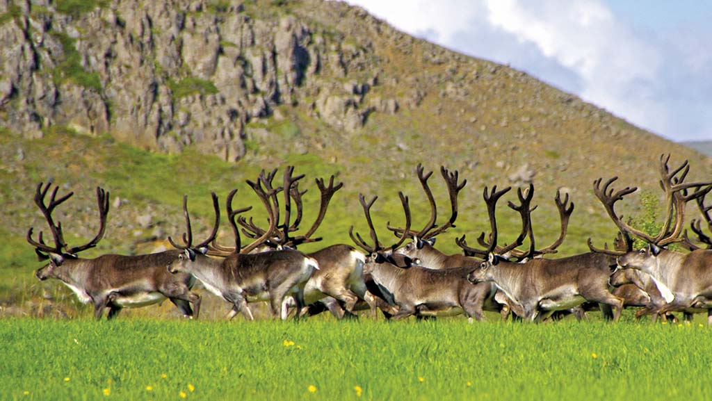
Iceland’s reindeer herds live only in East Iceland. The best places to view them during the summer are the areas around Mount Snæfell.
Related Travel Guide
Pin It for Later

Iceland’s animals, found on land, sea, and air, are quite special, starting with everyone’s favorite bird, the puffin. These adorable birds are the unofficial mascot of Iceland, and there are numerous opportunities for tours in the summer months. Whales, dolphins, and seals are the main attractions of the sea; on land, you will see plenty of horses and sheep, but it will take a little more effort to catch a glimpse of the arctic fox (in the Westfjords) and reindeer (in the east).
Puffins

May-August, it’s possible to see puffins in several parts of the country.
- Heimaey: Thousands of visitors flock to this island off the South Coast to walk along the sea cliffs and spend time with its puffin population (June-Aug).
- Látrabjarg: In West Iceland, trails allow you to access the colossal Látrabjarg cliffs, where puffins gather to nest in intricate crevices (May-Aug).
- Borgarfjörður Eystri: Get a close-up view of puffins at this fjord in East Iceland, which has an observation platform connected to a small islet that the birds love (mid-Apr.-mid-Aug.).
Whales and Dolphins

Several whale-watching tour companies operate around the island. Some head out year-round, while others only operate in summer. The main whale-watching destinations are in the south (Reykjavík), west (Grundarfjörður), and north (Dalvík and Húsavík).
- Reykjavík: Operating from Reykjavík’s harbor, whale-watching tours offer opportunities to see minke, blue, and fin whales as well as dolphins and porpoises (year-round).
- Grundarfjörður: This western town is your best shot at catching a glimpse of orcas. It’s possible to see orcas year-round, but it is more likely during the winter months.
- Dalvík: You may see humpback whales, minke whales, blue whales, harbor porpoises, and dolphins on tours leaving from the harbor of this small northern fishing town (year-round).
- Húsavík: The unofficial whale-watching capital of the island has several species off its shores, including minke, humpback, pilot, northern bottlenose, sperm, sei, fin, orca, and blue whales (mid-May-late Oct.).
- Heimaey: Iceland's beluga whale sanctuary is a lovely place to visit if you are heading to the Westman Islands.
Seals

Six species of seals have been spotted off the coast of Iceland. Most commonly sighted are gray seals and harbor seals. The other four species (hooded, harp, bearded, and ringed seals) are hit or miss.
- Vatnsnes Peninsula: In summer, you have a good chance of spotting gray seals and harbor seals around this peninsula in the north.
- Icelandic Seal Center: Also on the Vatnsnes Peninsula, the Icelandic Seal Center contains some wonderful exhibits, along with information on the best sites for seal-spotting.
Arctic Fox
The arctic fox is the only land animal native to Iceland, and you'll see the largest populations of them where birdlife is most abundant: in the Westfjords.
- Arctic Fox Center: At the Arctic Fox Center in the Westfjords, travelers can meet some kits on-site.
- Hornstrandir Nature Reserve: Foxes are protected from hunting in this region, and they thrive at this reserve.
Reindeer

Iceland’s reindeer herds live only in East Iceland. The best places to view them during the summer are the areas around Mount Snæfell.
Related Travel Guide
Pin It for Later

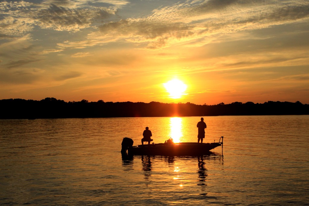
Nashville has lots of places to get out and play in the water. Here are some options ranging from paddling to boating to taking the kids to cool off in a water park.

Elm Hill Marina
Boating, fishing, and water sports are among the most popular activities on J. Percy Priest Lake. Sun Life Marina (3361 Bell Rd.) is the marina closest to downtown Nashville, and as a result, it is one of the busiest. Lots of locals rent slips and have their boats docked here. But even if you don’t have a boat of your own, you can rent one. The Pontoon boats ($350 for a half day) are popular with the party crowd. Elm Hill also has an outdoors store with essentials like sunscreen and key rings that float, and a restaurant with typical seaside fair.
Percy Priest Lake
Percy Priest Lake (3737 Bell Rd.) was created in the mid-1960s when the Army Corps of Engineers dammed the Stones River east of Nashville. The lake is a favorite destination for fishing, boating, swimming, paddling, and picnicking. The lake sprawls over 14,200 acres. Access is provided through more than a dozen different parks and access areas on all sides of the lake. Many of these areas bear the names of communities that were inundated when the lake was created. The lake’s visitors center, operated by the Army Corps of Engineers, is located at the site of the dam that created the lake. The visitors center is located on Bell Road at exit 219 off I-40 heading east from downtown Nashville. There you will find a lake overlook and one of four marinas on the lake.
Start planning your adventure today
Nashville Paddle Co.
Middle Tennessee’s flatwater lakes and rivers are perfect for paddling. Nashville Paddle Co. provides instruction and lessons for both adults and kids. Lessons take place at one of several launches on Percy Priest or Old Hickory Lakes or on the Cumberland River. Rentals are also available for those who want to take boards and go for a weekend. All reservations are made online. With a local yoga teacher, Nashville Paddle Co. offers SUP yoga as well as PaddleFit classes, which are workouts that use both land and water to get your core in tip-top shape.
Nashville Shores
Nashville Shores (4001 Bell Rd.) is a great destination for a hot summer day. This water and amusement park features miles of sandy beaches along the shore of Percy Priest Lake, pools, waterslides, and water sports. Admission to the park includes the opportunity to take a 45-minute lake cruise on The Shoreliner, which looks like an old steamboat and has a paddlewheel in the back.
Old Hickory Lake

One of two lakes formed by the damming of the Cumberland River (the other is Percy Priest), Old Hickory Lake (876 Burnett Rd.) is named after President Andrew Jackson, whose plantation was nearby. The lake includes eight marinas, an arboretum, and more than 40 places to launch a boat (or paddleboard) and get out on the water. There are beaches, picnic areas, and sailboat marinas, as well as two campgrounds.
Tip-a-Canoe
Tip-a-Canoe (1279 Hwy 70) has been offering canoe and kayak rentals on the Harpeth River on the west side of town since before the Narrows of the Harpeth was a state park. All that experience has paid off. Boat rentals include shuttle service from where you get off the river back to the beginning where your car is parked. Shuttles are also available (for a fee) for those who have their own boats. The Harpeth is typically a Class I river, but some times of the year is a Class II. If you have concerns about your paddling ability, call ahead for river conditions.
Wave Country
When the summer gets hot, as it does in Tennessee, locals line up to take their kids to Wave Country (2320 Two Rivers Pkwy.). Located near Music Valley, this water park has exciting slides, a wave pool, and sand volleyball courts, as well as a play area for smaller kids. Wave Country is managed by the city parks commission.
Southern adventures await
Pin it for later
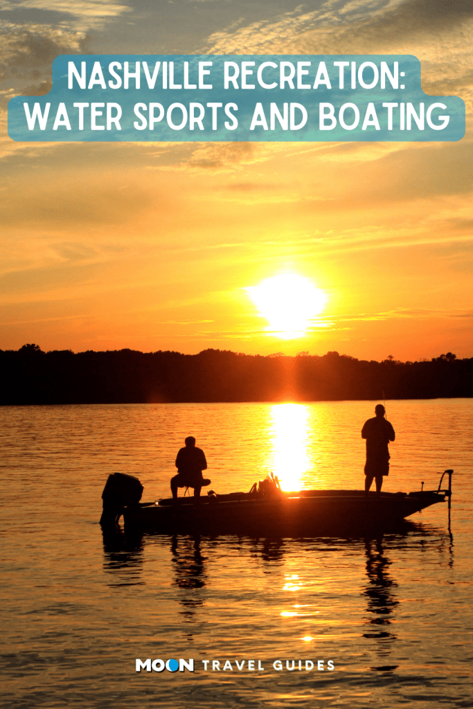

Nashville has lots of places to get out and play in the water. Here are some options ranging from paddling to boating to taking the kids to cool off in a water park.

Elm Hill Marina
Boating, fishing, and water sports are among the most popular activities on J. Percy Priest Lake. Sun Life Marina (3361 Bell Rd.) is the marina closest to downtown Nashville, and as a result, it is one of the busiest. Lots of locals rent slips and have their boats docked here. But even if you don’t have a boat of your own, you can rent one. The Pontoon boats ($350 for a half day) are popular with the party crowd. Elm Hill also has an outdoors store with essentials like sunscreen and key rings that float, and a restaurant with typical seaside fair.
Percy Priest Lake
Percy Priest Lake (3737 Bell Rd.) was created in the mid-1960s when the Army Corps of Engineers dammed the Stones River east of Nashville. The lake is a favorite destination for fishing, boating, swimming, paddling, and picnicking. The lake sprawls over 14,200 acres. Access is provided through more than a dozen different parks and access areas on all sides of the lake. Many of these areas bear the names of communities that were inundated when the lake was created. The lake’s visitors center, operated by the Army Corps of Engineers, is located at the site of the dam that created the lake. The visitors center is located on Bell Road at exit 219 off I-40 heading east from downtown Nashville. There you will find a lake overlook and one of four marinas on the lake.
Start planning your adventure today
Nashville Paddle Co.
Middle Tennessee’s flatwater lakes and rivers are perfect for paddling. Nashville Paddle Co. provides instruction and lessons for both adults and kids. Lessons take place at one of several launches on Percy Priest or Old Hickory Lakes or on the Cumberland River. Rentals are also available for those who want to take boards and go for a weekend. All reservations are made online. With a local yoga teacher, Nashville Paddle Co. offers SUP yoga as well as PaddleFit classes, which are workouts that use both land and water to get your core in tip-top shape.
Nashville Shores
Nashville Shores (4001 Bell Rd.) is a great destination for a hot summer day. This water and amusement park features miles of sandy beaches along the shore of Percy Priest Lake, pools, waterslides, and water sports. Admission to the park includes the opportunity to take a 45-minute lake cruise on The Shoreliner, which looks like an old steamboat and has a paddlewheel in the back.
Old Hickory Lake

One of two lakes formed by the damming of the Cumberland River (the other is Percy Priest), Old Hickory Lake (876 Burnett Rd.) is named after President Andrew Jackson, whose plantation was nearby. The lake includes eight marinas, an arboretum, and more than 40 places to launch a boat (or paddleboard) and get out on the water. There are beaches, picnic areas, and sailboat marinas, as well as two campgrounds.
Tip-a-Canoe
Tip-a-Canoe (1279 Hwy 70) has been offering canoe and kayak rentals on the Harpeth River on the west side of town since before the Narrows of the Harpeth was a state park. All that experience has paid off. Boat rentals include shuttle service from where you get off the river back to the beginning where your car is parked. Shuttles are also available (for a fee) for those who have their own boats. The Harpeth is typically a Class I river, but some times of the year is a Class II. If you have concerns about your paddling ability, call ahead for river conditions.
Wave Country
When the summer gets hot, as it does in Tennessee, locals line up to take their kids to Wave Country (2320 Two Rivers Pkwy.). Located near Music Valley, this water park has exciting slides, a wave pool, and sand volleyball courts, as well as a play area for smaller kids. Wave Country is managed by the city parks commission.
Southern adventures await
Pin it for later


They call it “Music City” for a reason: Nashville’s music scene is legendary. From live venues to indie studios, rowdy honky-tonks to intimate folk shows, this is where America goes to make music. Sure, there are plenty of country shows—this is the home of country music, after all—but dig a little deeper, and you’ll see that Nashville has even more to offer than its quintessential twang. Once you’ve checked off must-visits like the Grand Ole Opry and Bluebird Café, check out some of these indie alternatives. They may be missing from some of the tourist listicles, but the spirit of Music City is alive and well in these lesser-known venues.
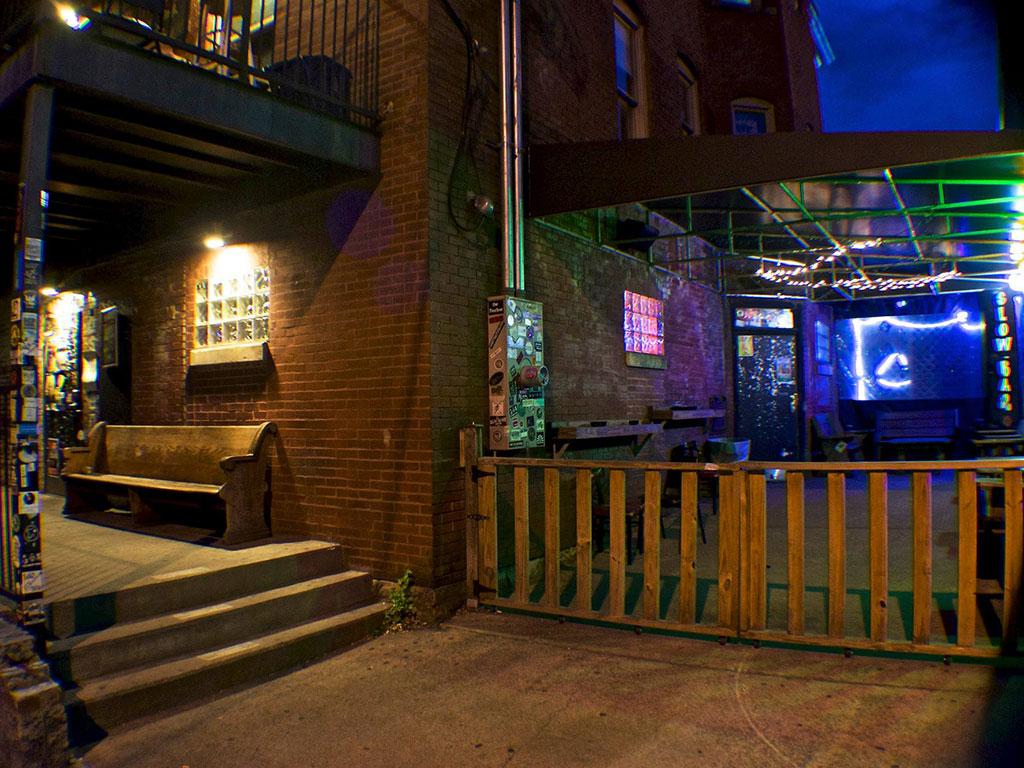
The Basement
The name of The Basement (917 Woodland Ave.) alone should tip patrons off to the vibe here: dark, divey, and a little rough around the edges. But that’s what makes the venue so wonderfully intimate, and draws music aficionados to its performances showcasing local singer-songwriters, rockers, and more. They host ticketed events, but there are also plenty of free shows with seats on a first come, first serve basis. Added bonus: they serve food!
Mercy Lounge
Locally popular club Mercy Lounge (One Cannery Row.) has been showcasing up-and-coming Nashville bands and nationally known artists since 2003. It’s far enough away from the bustling downtown scene to feel like a well-kept secret, but busy enough that you know you’re onto something good. Performers have included Alabama Shakes, HAIM, The Black Keys, and Snoop Dogg—just to name a few. You’ll also get a little taste of old Nashville here: the venue is located in the city’s historic Cannery building, built in 1883. The structure has housed multiple venues—in a past life, you might have caught an Iggy Pop or Greg Allman show here!

Exit/In
While not technically an indie venue by most standards, this spot on Elliston Place (colloquially know as “Rock Block”) is the stuff of Nashville legend. With past performers that have included The Ramones, Death Cab for Cutie, Talking Heads, Etta James, and oh-so-many more, Exit/In (2208 Elliston Pl.) has built a name for itself as one of the most historic rock venues in town. Drinks are fairly priced, bookings vary to suit just about every taste, and the crowd is welcoming. In short, you’re guaranteed a good time here.
The End
If the raucous energy is still calling your name, head across the street from Exit/In to The End (2219 Elliston Pl.): a long-running dive that has hosted the likes of Fugazi, The Kills, The Flaming Lips, REM, and more. Whether you catch a household name, a local punk band, or an up-and-coming rapper, the infectious fun at The End will keep you dancing long after the end of the show.
Start planning your adventure today
Third Man Records Blue Room
Third Man Records (623 7th Avenue South) is an independent record label founded by Jack White (one half of the Detroit rock duo The White Stripes) that has become as synonymous with Nashville as hot chicken (okay, nearly). Intentionally built in a less-than-prosperous neighborhood, the label made full Nashville assimilation its raison d’être. From country and blues to old-fashioned rock n’ roll, TMR’s artists include Margo Price, Wolf Eyes, Wanda Jackson, White’s own The Dead Weather, and of course, White himself. You can listen for yourself at the label’s Blue Room—the only live venue in the world where artists can record their performances direct-to-acetate. Check out TMR’s website for upcoming shows.
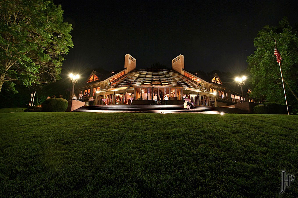
The Fontanel
Sitting just outside Nashville proper in Whites Creek, this 136-acre former estate of country music icon Barbara Mandrell has been drawing locals and tourists alike since 2010. There’s plenty to do at The Fontanel (4125 Whites Creek Pike), from strolling the trails to touring the mansion, but the live music is the real charmer. Head to the Café Fontanella to hear local artists and dine on delicious Southern and Italian cuisine. In the summer, check out the Fontanel’s Back Porch Concert Series: an outdoor live show every Thursday evening from May to September. Admission is free, and attendees are invited to bring a picnic blanket or lawn chair, relax by the fire pit, and enjoy the melodies wafting in the summer breeze.
Southern adventures await
Pin it for Later


They call it “Music City” for a reason: Nashville’s music scene is legendary. From live venues to indie studios, rowdy honky-tonks to intimate folk shows, this is where America goes to make music. Sure, there are plenty of country shows—this is the home of country music, after all—but dig a little deeper, and you’ll see that Nashville has even more to offer than its quintessential twang. Once you’ve checked off must-visits like the Grand Ole Opry and Bluebird Café, check out some of these indie alternatives. They may be missing from some of the tourist listicles, but the spirit of Music City is alive and well in these lesser-known venues.

The Basement
The name of The Basement (917 Woodland Ave.) alone should tip patrons off to the vibe here: dark, divey, and a little rough around the edges. But that’s what makes the venue so wonderfully intimate, and draws music aficionados to its performances showcasing local singer-songwriters, rockers, and more. They host ticketed events, but there are also plenty of free shows with seats on a first come, first serve basis. Added bonus: they serve food!
Mercy Lounge
Locally popular club Mercy Lounge (One Cannery Row.) has been showcasing up-and-coming Nashville bands and nationally known artists since 2003. It’s far enough away from the bustling downtown scene to feel like a well-kept secret, but busy enough that you know you’re onto something good. Performers have included Alabama Shakes, HAIM, The Black Keys, and Snoop Dogg—just to name a few. You’ll also get a little taste of old Nashville here: the venue is located in the city’s historic Cannery building, built in 1883. The structure has housed multiple venues—in a past life, you might have caught an Iggy Pop or Greg Allman show here!

Exit/In
While not technically an indie venue by most standards, this spot on Elliston Place (colloquially know as “Rock Block”) is the stuff of Nashville legend. With past performers that have included The Ramones, Death Cab for Cutie, Talking Heads, Etta James, and oh-so-many more, Exit/In (2208 Elliston Pl.) has built a name for itself as one of the most historic rock venues in town. Drinks are fairly priced, bookings vary to suit just about every taste, and the crowd is welcoming. In short, you’re guaranteed a good time here.
The End
If the raucous energy is still calling your name, head across the street from Exit/In to The End (2219 Elliston Pl.): a long-running dive that has hosted the likes of Fugazi, The Kills, The Flaming Lips, REM, and more. Whether you catch a household name, a local punk band, or an up-and-coming rapper, the infectious fun at The End will keep you dancing long after the end of the show.
Start planning your adventure today
Third Man Records Blue Room
Third Man Records (623 7th Avenue South) is an independent record label founded by Jack White (one half of the Detroit rock duo The White Stripes) that has become as synonymous with Nashville as hot chicken (okay, nearly). Intentionally built in a less-than-prosperous neighborhood, the label made full Nashville assimilation its raison d’être. From country and blues to old-fashioned rock n’ roll, TMR’s artists include Margo Price, Wolf Eyes, Wanda Jackson, White’s own The Dead Weather, and of course, White himself. You can listen for yourself at the label’s Blue Room—the only live venue in the world where artists can record their performances direct-to-acetate. Check out TMR’s website for upcoming shows.

The Fontanel
Sitting just outside Nashville proper in Whites Creek, this 136-acre former estate of country music icon Barbara Mandrell has been drawing locals and tourists alike since 2010. There’s plenty to do at The Fontanel (4125 Whites Creek Pike), from strolling the trails to touring the mansion, but the live music is the real charmer. Head to the Café Fontanella to hear local artists and dine on delicious Southern and Italian cuisine. In the summer, check out the Fontanel’s Back Porch Concert Series: an outdoor live show every Thursday evening from May to September. Admission is free, and attendees are invited to bring a picnic blanket or lawn chair, relax by the fire pit, and enjoy the melodies wafting in the summer breeze.
Southern adventures await
Pin it for Later

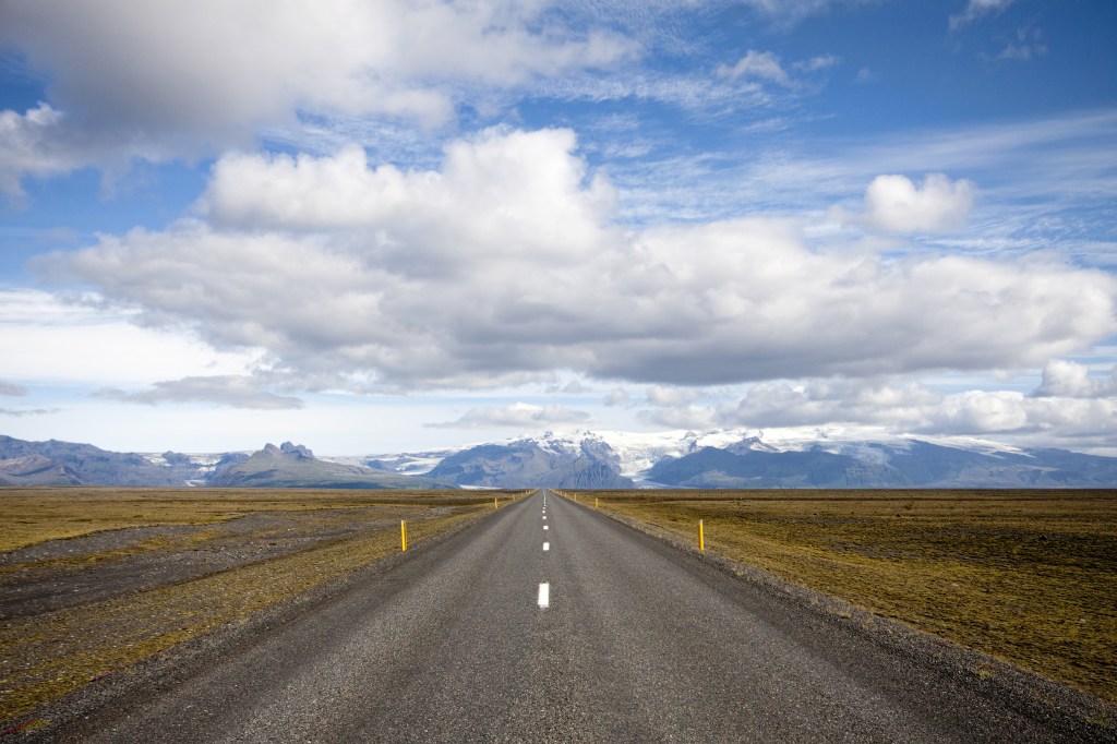
If you plan to stay in Reykjavík for most of your trip or want to do short day trips in the southern or western parts of Iceland, it’s not necessary to rent a car; you can book tours and travel by bus. However, having access to a car gives you the ultimate freedom of seeing the island on your own schedule. But if you want a rental car and the freedom that comes with it, expect to pay dearly, especially in the summer months. Icelanders drive on the right side of the road.

You can rent a car in advance or at the rental office at Keflavík International Airport, at BSÍ bus station, or within Reykjavík once you’re settled. In the busy summer tourist season, it is recommended to arrange your rental in advance because some dealers sell out early.
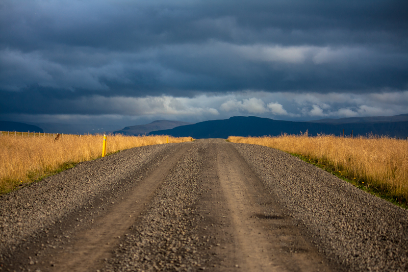
Choosing the right car for your trip depends on what you want to see and where you plan to go. If you plan on staying close to Reykjavík and traveling on well-paved roads, such as the Ring Road, a compact car is the best and cheapest option. However, if you plan on going out to the countryside or to the highlands, don’t try to get away with renting the cheap option. If you try to bring a compact car into a region that requires a 4WD vehicle, expect damage to the car at best, and being stranded and needing to be rescued at worst. Be smart and be prepared.
Car rental companies provide “full insurance” for each rental, which is the basic third-party insurance option. For an additional fee, drivers have access to “extra insurance” that includes a collision damage waiver. However, be aware that you will not be covered for damage caused by rocks, snow, wind, ice, and all the other elements that could damage a vehicle. If you have any damage to a car, you will be charged a lot. Be sure to choose the right insurance for the region you plan to travel to. Gravel insurance is extra, and commonly purchased; if you’re planning to travel on unpaved roads, it’s recommended.
Plan your trip
Pin It for Later

If you plan to stay in Reykjavík for most of your trip or want to do short day trips in the southern or western parts of Iceland, it’s not necessary to rent a car; you can book tours and travel by bus. However, having access to a car gives you the ultimate freedom of seeing the island on your own schedule. But if you want a rental car and the freedom that comes with it, expect to pay dearly, especially in the summer months. Icelanders drive on the right side of the road.

You can rent a car in advance or at the rental office at Keflavík International Airport, at BSÍ bus station, or within Reykjavík once you’re settled. In the busy summer tourist season, it is recommended to arrange your rental in advance because some dealers sell out early.
Choosing the right car for your trip depends on what you want to see and where you plan to go. If you plan on staying close to Reykjavík and traveling on well-paved roads, such as the Ring Road, a compact car is the best and cheapest option. However, if you plan on going out to the countryside or to the highlands, don’t try to get away with renting the cheap option. If you try to bring a compact car into a region that requires a 4WD vehicle, expect damage to the car at best, and being stranded and needing to be rescued at worst. Be smart and be prepared.

Car rental companies provide “full insurance” for each rental, which is the basic third-party insurance option. For an additional fee, drivers have access to “extra insurance” that includes a collision damage waiver. However, be aware that you will not be covered for damage caused by rocks, snow, wind, ice, and all the other elements that could damage a vehicle. If you have any damage to a car, you will be charged a lot. Be sure to choose the right insurance for the region you plan to travel to. Gravel insurance is extra, and commonly purchased; if you’re planning to travel on unpaved roads, it’s recommended.
Plan your trip
Pin It for Later

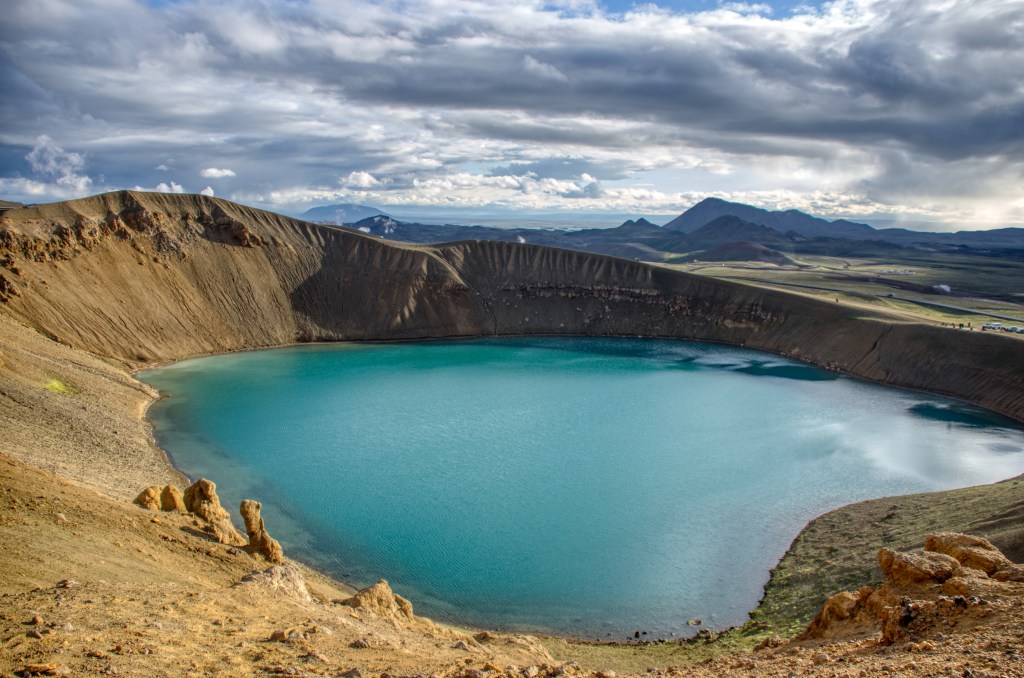
Black lava, gigantic boulders, and towering mountains await along Route F26, also known as Sprengisandur, though Iceland's highlands. Visitors travel to this region to check out what is essentially an arctic desert. It’s dry and barren, with its water trapped in the glaciers. Iceland’s summer is warm enough for significant melting. From lava fields to ice caves, here are the sights you won't want to miss.
Trölladyngja
Route F910, GPS coordinates N 64.8931, W 17.2547
Trölladyngja (Troll’s Volcano) is the largest shield volcano, a domed volcano comprising fluid lava flows, in the country, and connects the Grimsvötn and Bárðarbunga central volcanoes. Mount Trölladyngja (1,468 m/4,817 ft) is still active and only viewable from the road. It’s 10 km (6.2 mi) in diameter with a 100-m (328-ft) crater on top. Lava flows from it in all directions, especially to the north and west. The Gæsavötn Route F910 passes through the north of it.
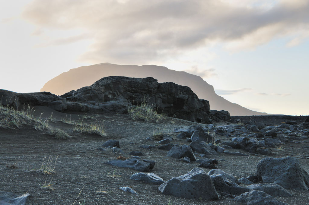
Ódáðahraun
Route F88
Ódáðahraun (Crime Lava Field) is not only the largest lava field in Iceland, it’s the largest desert in Europe, spanning more than 6,000 sq km (2,317 sq mi). Black, brown, and gray colors dominate the landscape. Visitors to the area will see endless sand, vast expanses of lava, and interesting geological formations caused by volcanic activity over the centuries. The lava shapes range from flat and smooth to rough and jagged. The region garnered its name, “crime lava,” based on lore that numerous criminals hid out in the area trying to elude the authorities. The wind blows strongly, and there always seems to be a chill in the air. The isolation can be overwhelming—it’s an eerie place to visit, though great for roaming and taking photos. Route F88 takes you to Ódáðahraun.
Laugafell
Route F821, GPS coordinates N 65.0278, W 18.3319
Laugafell (Bath Mountain) is situated northeast of the Hofsjökull glacier, about 20 km (12 mi) southwest from the end of the Eyjafjarðardalur valley. It’s a special place in the vast barren stretch of the highlands, with the spectacular 879-m (2,884-ft) mountain adjacent to a geothermal hot spot. Two hot springs (free) open to visitors are in the northwestern portion of the mountain, and patches of grass and plants among the bubbling pools make it a desert oasis. It is important to have a good map for this region to find the hot springs and trails. Three mountain huts (www.fi.is; rooms from 17,000ISK) are open during the summer; they have cooking facilities, and guests can access a geothermal nature pool. Laugafell and the region are accessible by Route F821.

Askja
Route F88
Askja is a caldera in the remote, awe-inspiring Dyngjufjöll Mountains. Essentially huge volcanic craters, calderas are formed by land collapsing after a volcanic eruption. At 1,516 m (4,984 ft), Askja emerges from the Ódáðahraun lava field, and the terrain is quite rocky. Víti is a tremendous pale-blue lake-filled crater that emerged after the great eruption of the Askja volcano in 1875. It’s possible to take a dip in the water, which reaches a temperature of about 30°C (86°F).
Askja is one of the most popular destinations in the highlands. There are two mountain huts (the Dreki huts, www.ffa.is) on Route F88, about 100 km (62 mi) from the Ring Road. From there, it’s an 8-km (5-mi) drive up into the Askja caldera. It is a walk of about 2.5 km (1.6 mi) from the car park to Víti. Remember that the roads are usually only open for about three months, late June-September. Depending on the weather, the open period could be longer or shorter.
Hiking Mount Askja
Distance: 11.5 km (7.1 mi) round-trip; Hiking Time: 2 hours; Information and Maps: www.visiticeland.is; Trailhead: Car park (GPS coordinates N 65.0140, W 16.4500), which can be reached by Route 1 to Route F88
Passionate hikers will want to walk the rim of Askja. It offers some slopes and ultra-rocky terrain along with spectacular views of lava fields, mountains, and the mighty Víti crater. It’s about a 30-minute moderate hike, 2.5 km (1.6 mi) one-way, from the car park up to the caldera. The landscape is punishing, and devoid of vegetation, but the muted colors of brown and gray are striking against spots of snow and the blue water in the crater. The highest point in Askja is 1,516 m (4,974 ft). The rim is about 6.5 km (4 mi) around, which takes about an hour to walk. If you are not planning to hike the rim, you can just explore near the car park. To reach the car park, take Route 1 to Route F88.
While the trail is well maintained, the main challenge is weather. If the forecast calls for wind, it’s best to skip the planned hike. Do not underestimate the power of Iceland’s wind, especially in the highlands.
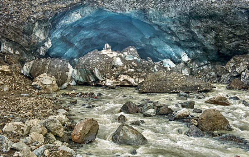
Kverkfjöll
Route F910 to Route F902, GPS coordinates N 64.7475, W 16.6315
Reaching 1,764 m (5,788 ft), the Kverkfjöll volcano includes two calderas that are filled with ice. The area is striking for its range of colors, with a deep black background that gives way to gorgeous blues and icy white. The main attractions are the ice caves that were created by hot springs, slowly melting the ice into interesting shapes. Stay safe, however, and observe the caves from the outside; you never know when the ice mass could give way. To get to Kverkfjöll, take Route F910 southeast to Route F902.
Exploring more of Iceland's highlands?
Pin It for Later


Black lava, gigantic boulders, and towering mountains await along Route F26, also known as Sprengisandur, though Iceland's highlands. Visitors travel to this region to check out what is essentially an arctic desert. It’s dry and barren, with its water trapped in the glaciers. Iceland’s summer is warm enough for significant melting. From lava fields to ice caves, here are the sights you won't want to miss.
Trölladyngja
Route F910, GPS coordinates N 64.8931, W 17.2547
Trölladyngja (Troll’s Volcano) is the largest shield volcano, a domed volcano comprising fluid lava flows, in the country, and connects the Grimsvötn and Bárðarbunga central volcanoes. Mount Trölladyngja (1,468 m/4,817 ft) is still active and only viewable from the road. It’s 10 km (6.2 mi) in diameter with a 100-m (328-ft) crater on top. Lava flows from it in all directions, especially to the north and west. The Gæsavötn Route F910 passes through the north of it.

Ódáðahraun
Route F88
Ódáðahraun (Crime Lava Field) is not only the largest lava field in Iceland, it’s the largest desert in Europe, spanning more than 6,000 sq km (2,317 sq mi). Black, brown, and gray colors dominate the landscape. Visitors to the area will see endless sand, vast expanses of lava, and interesting geological formations caused by volcanic activity over the centuries. The lava shapes range from flat and smooth to rough and jagged. The region garnered its name, “crime lava,” based on lore that numerous criminals hid out in the area trying to elude the authorities. The wind blows strongly, and there always seems to be a chill in the air. The isolation can be overwhelming—it’s an eerie place to visit, though great for roaming and taking photos. Route F88 takes you to Ódáðahraun.
Laugafell
Route F821, GPS coordinates N 65.0278, W 18.3319
Laugafell (Bath Mountain) is situated northeast of the Hofsjökull glacier, about 20 km (12 mi) southwest from the end of the Eyjafjarðardalur valley. It’s a special place in the vast barren stretch of the highlands, with the spectacular 879-m (2,884-ft) mountain adjacent to a geothermal hot spot. Two hot springs (free) open to visitors are in the northwestern portion of the mountain, and patches of grass and plants among the bubbling pools make it a desert oasis. It is important to have a good map for this region to find the hot springs and trails. Three mountain huts (www.fi.is; rooms from 17,000ISK) are open during the summer; they have cooking facilities, and guests can access a geothermal nature pool. Laugafell and the region are accessible by Route F821.

Askja
Route F88
Askja is a caldera in the remote, awe-inspiring Dyngjufjöll Mountains. Essentially huge volcanic craters, calderas are formed by land collapsing after a volcanic eruption. At 1,516 m (4,984 ft), Askja emerges from the Ódáðahraun lava field, and the terrain is quite rocky. Víti is a tremendous pale-blue lake-filled crater that emerged after the great eruption of the Askja volcano in 1875. It’s possible to take a dip in the water, which reaches a temperature of about 30°C (86°F).
Askja is one of the most popular destinations in the highlands. There are two mountain huts (the Dreki huts, www.ffa.is) on Route F88, about 100 km (62 mi) from the Ring Road. From there, it’s an 8-km (5-mi) drive up into the Askja caldera. It is a walk of about 2.5 km (1.6 mi) from the car park to Víti. Remember that the roads are usually only open for about three months, late June-September. Depending on the weather, the open period could be longer or shorter.
Hiking Mount Askja
Distance: 11.5 km (7.1 mi) round-trip; Hiking Time: 2 hours; Information and Maps: www.visiticeland.is; Trailhead: Car park (GPS coordinates N 65.0140, W 16.4500), which can be reached by Route 1 to Route F88
Passionate hikers will want to walk the rim of Askja. It offers some slopes and ultra-rocky terrain along with spectacular views of lava fields, mountains, and the mighty Víti crater. It’s about a 30-minute moderate hike, 2.5 km (1.6 mi) one-way, from the car park up to the caldera. The landscape is punishing, and devoid of vegetation, but the muted colors of brown and gray are striking against spots of snow and the blue water in the crater. The highest point in Askja is 1,516 m (4,974 ft). The rim is about 6.5 km (4 mi) around, which takes about an hour to walk. If you are not planning to hike the rim, you can just explore near the car park. To reach the car park, take Route 1 to Route F88.
While the trail is well maintained, the main challenge is weather. If the forecast calls for wind, it’s best to skip the planned hike. Do not underestimate the power of Iceland’s wind, especially in the highlands.

Kverkfjöll
Route F910 to Route F902, GPS coordinates N 64.7475, W 16.6315
Reaching 1,764 m (5,788 ft), the Kverkfjöll volcano includes two calderas that are filled with ice. The area is striking for its range of colors, with a deep black background that gives way to gorgeous blues and icy white. The main attractions are the ice caves that were created by hot springs, slowly melting the ice into interesting shapes. Stay safe, however, and observe the caves from the outside; you never know when the ice mass could give way. To get to Kverkfjöll, take Route F910 southeast to Route F902.
Exploring more of Iceland's highlands?
Pin It for Later

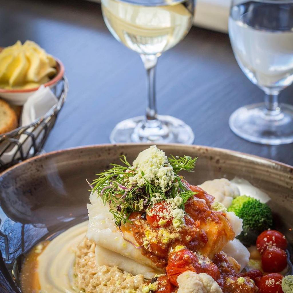
Descriptions of Icelandic food depend on who you ask. Certainly, fish and lamb take center stage. Typical fare can range from light to hearty. Local produce means what can survive outdoors (potatoes, rhubarb, moss) and what is grown in greenhouses (tomatoes, cucumbers, broccoli). Most of Iceland’s food is imported, and it isn’t cheap.
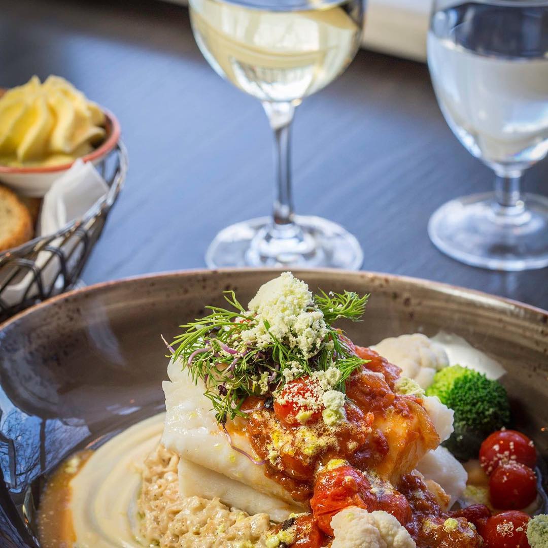
Local fish includes cod (fresh and salted), salmon, lobster, mussels, halibut, trout, and haddock. A classic Icelandic dish is whitefish cooked in a white sauce with potatoes and onions. A popular snack is hardfish, which is like a whitefish jerky, where the fish is dried and seasoned.
As for meat, lamb is the most prevalent, but there is plenty of beef, pork, and chicken in the Icelandic diet. Some Icelanders also indulge in horse and whale meat as well. Hot dogs are wildly popular among Icelanders. Called pylsur, Icelandic hot dogs are done up in a traditional bun with chopped onions, mustard, ketchup, crispy fried onions, and pickled mayonnaise. They’re delicious.
Dairy is an important part of Icelanders’ diets, including milk, cheese, butter, and the yogurt-like soft cheese called skyr, which you should try. It’s very tasty and chock-full of protein. Icelanders are also known to eat ice cream all year long, despite the weather. There are quite a few popular ice cream shops around Reykjavík, and the ice cream sections in supermarkets offer an astounding number of locally produced choices.
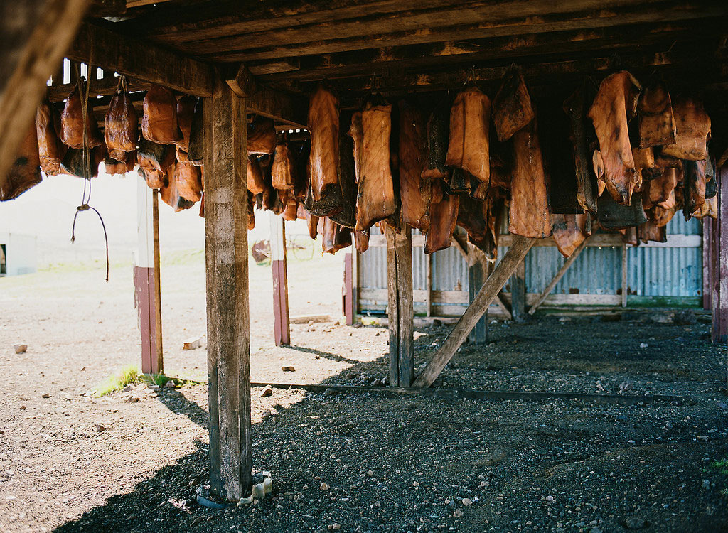
Once a year, Icelanders celebrate the traditional foods of the nation, which sustained their ancestors through the ages. The winter festival, called Þorrablót, features svið (singed lamb head), blood pudding, lamb intestines and stomach, ram’s testicles, fermented shark, seal flippers, hardfish, and rye bread. The food that gets the most attention from foreigners is rotten shark or hákarl, which is meat from the Greenland shark. The flesh is put through an interesting process: It’s buried for at least two months and then is hung for another three or four months to cure. If you dare, hákarl is available in small containers for sale throughout Iceland. It’s an experience you will not forget—if not the taste, then definitely the smell.
Restaurants
Reykjavík is home to some excellent fine- dining establishments and casual eateries, but eating cheaply in Reykjavík, or on the island as a whole, is not easy. Hours tend to change depending on the season, but for the most part restaurants open their doors for lunch around 11:30am, and kitchens tend to close around 9pm.
Outside Reykjavík and Akureyri, you will find a lot of fish and lamb restaurants that focus on local cuisine, but inside the two main cities, you have a lot to choose from. You will find sushi, tapas, Indian food, hamburger joints, noodle bars, kebab houses, and Italian restaurants, to name a few. International cuisine has been growing in popularity over the last 20 years, and new and interesting spots are always cropping up. If you have your heart set on a certain restaurant, it would be best to reserve ahead, but walk-ins are possible. Tipping is not expected in Iceland, but it is not considered an insult to tip.
Drinking
The water in Iceland is pure and some of the tastiest in the world. Drinking from the tap is common and safe, and bottled water is frowned upon. Iceland is also a coffee-drinking nation. If you’re a tea drinker, you will find some basic choices in coffee shops, but Icelanders are crazy about their coffee.
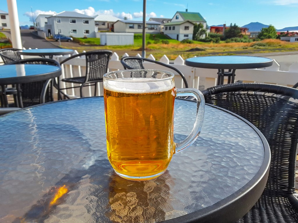
As for alcohol, given the expensive prices, beer is often the drink of choice when going out to a bar. And believe it or not, beer is still relatively new to Iceland. A countrywide alcohol ban went into effect in 1915; the ban was relaxed in phases, with first wine and then strong liquors permitted, and beer eventually became legal in 1989. Outside bars, alcohol is available only at the government-run shops called Vínbúðin.
Related Travel Guide
Pin It for Later


Descriptions of Icelandic food depend on who you ask. Certainly, fish and lamb take center stage. Typical fare can range from light to hearty. Local produce means what can survive outdoors (potatoes, rhubarb, moss) and what is grown in greenhouses (tomatoes, cucumbers, broccoli). Most of Iceland’s food is imported, and it isn’t cheap.

Local fish includes cod (fresh and salted), salmon, lobster, mussels, halibut, trout, and haddock. A classic Icelandic dish is whitefish cooked in a white sauce with potatoes and onions. A popular snack is hardfish, which is like a whitefish jerky, where the fish is dried and seasoned.
As for meat, lamb is the most prevalent, but there is plenty of beef, pork, and chicken in the Icelandic diet. Some Icelanders also indulge in horse and whale meat as well. Hot dogs are wildly popular among Icelanders. Called pylsur, Icelandic hot dogs are done up in a traditional bun with chopped onions, mustard, ketchup, crispy fried onions, and pickled mayonnaise. They’re delicious.
Dairy is an important part of Icelanders’ diets, including milk, cheese, butter, and the yogurt-like soft cheese called skyr, which you should try. It’s very tasty and chock-full of protein. Icelanders are also known to eat ice cream all year long, despite the weather. There are quite a few popular ice cream shops around Reykjavík, and the ice cream sections in supermarkets offer an astounding number of locally produced choices.

Once a year, Icelanders celebrate the traditional foods of the nation, which sustained their ancestors through the ages. The winter festival, called Þorrablót, features svið (singed lamb head), blood pudding, lamb intestines and stomach, ram’s testicles, fermented shark, seal flippers, hardfish, and rye bread. The food that gets the most attention from foreigners is rotten shark or hákarl, which is meat from the Greenland shark. The flesh is put through an interesting process: It’s buried for at least two months and then is hung for another three or four months to cure. If you dare, hákarl is available in small containers for sale throughout Iceland. It’s an experience you will not forget—if not the taste, then definitely the smell.
Restaurants
Reykjavík is home to some excellent fine- dining establishments and casual eateries, but eating cheaply in Reykjavík, or on the island as a whole, is not easy. Hours tend to change depending on the season, but for the most part restaurants open their doors for lunch around 11:30am, and kitchens tend to close around 9pm.
Outside Reykjavík and Akureyri, you will find a lot of fish and lamb restaurants that focus on local cuisine, but inside the two main cities, you have a lot to choose from. You will find sushi, tapas, Indian food, hamburger joints, noodle bars, kebab houses, and Italian restaurants, to name a few. International cuisine has been growing in popularity over the last 20 years, and new and interesting spots are always cropping up. If you have your heart set on a certain restaurant, it would be best to reserve ahead, but walk-ins are possible. Tipping is not expected in Iceland, but it is not considered an insult to tip.
Drinking
The water in Iceland is pure and some of the tastiest in the world. Drinking from the tap is common and safe, and bottled water is frowned upon. Iceland is also a coffee-drinking nation. If you’re a tea drinker, you will find some basic choices in coffee shops, but Icelanders are crazy about their coffee.

As for alcohol, given the expensive prices, beer is often the drink of choice when going out to a bar. And believe it or not, beer is still relatively new to Iceland. A countrywide alcohol ban went into effect in 1915; the ban was relaxed in phases, with first wine and then strong liquors permitted, and beer eventually became legal in 1989. Outside bars, alcohol is available only at the government-run shops called Vínbúðin.
Related Travel Guide
Pin It for Later

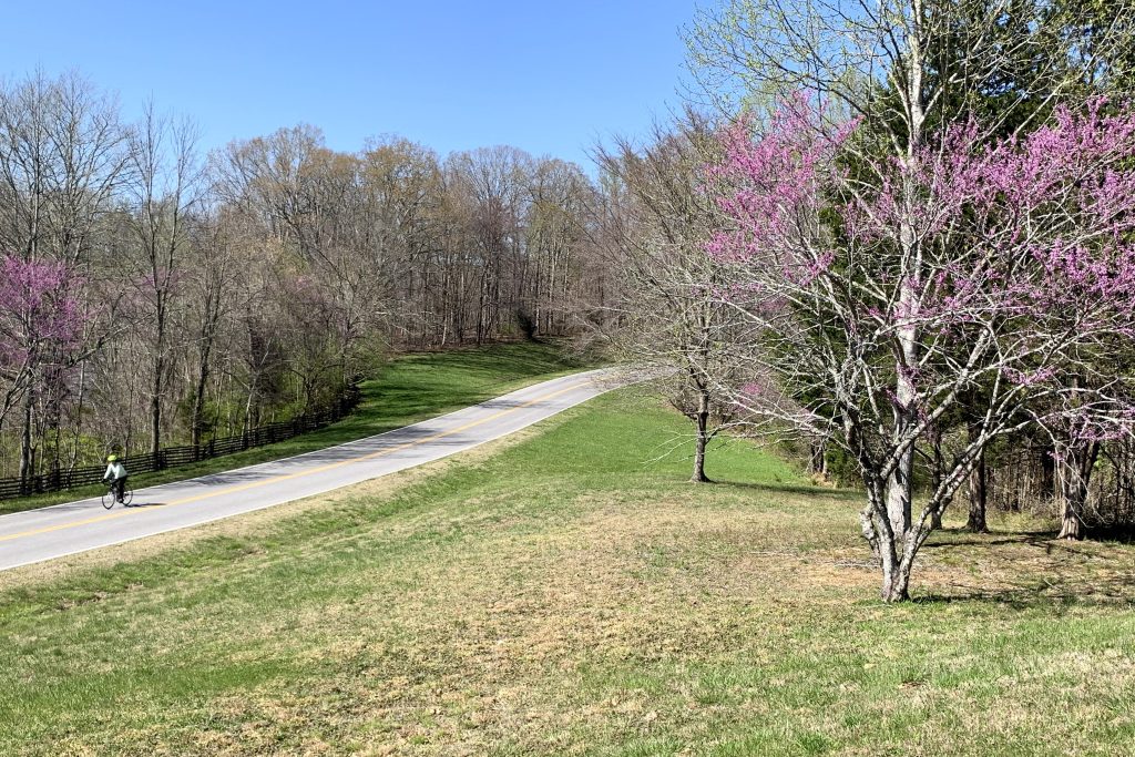
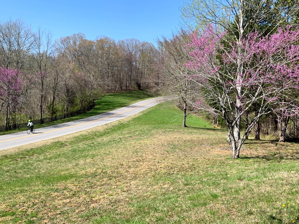
If you’re traveling the Natchez Trace Parkway by bicycle, as many do, you should plan ahead, as 444 miles is a significant ride. People of all fitness levels, ages, and abilities complete this ride, which ESPN rates as one of the 10 best bike routes in the country. The lack of dangerous road traffic combined with beautiful scenery and mild weather makes it particularly appealing to newbies and experienced pedalers alike. Here are some strategies and resources for biking the Natchez Trace Parkway:
Planning your ride
Before you begin, figure out approximately how many miles you plan to bike a day. If you plan to do the trip in a week, you’ll need to average at least 75 miles per day, with limited detours. Make a training plan that gets you up to that mileage.
When you first glance at the Trace you may notice there are no designated bicycle lanes. That’s because National Park Service has designated the Trace in its entirety—all 444 miles—as a bicycle route. Bicyclists share the road with recreational vehicles, cars, and motorcycles. Drivers should move into the left lane to give cyclists more room (when there isn’t oncoming traffic, of course).
Want to bike for a cause and make your experience even more meaningful? Consider Erase the Trace, a charity bike ride along the Natchez Trace raising funds for Glioblastoma cancer research. If you can't make it, you can still join as a virtual rider or donate—or start training for next year's ride!
If you’d like to cycle a portion of the Trace, there is infrastructure to support your ride. It’s possible to leave your car parked for an extended period in one of several parking lots, provided you complete a vehicle contact form. A few of the lots recommended by the park service are at Garrison Creek (milepost 427.6), Gordon House and Ferry Site (milepost 407.7), Natchez Trace Parkway Headquarters and Visitor Center (milepost 266), and the Parkway Information Cabin (milepost 102.4). See the NPS website for more recommended lots.
Because so many people bike the Trace, most of the nearby hotels and bed-and-breakfasts offer secure places for guests to lock bicycles. Some even offer basic repair tools and services. Park bikes, cars, and motorcycles in well-lit parking lots. Use locking bike racks if traveling with bicycles on your car.
Bike-only campgrounds

There are five bike-only campgrounds on the parkway:
• junction with TN‑50 (milepost 408)
• Colbert’s Ferry Site (milepost 327)
• Witch Dance (milepost 234)
• Natchez Trace Parkway Headquarters and Visitor Center (milepost 266)
• town of Kosciusko (milepost 159)
To get your own bicycle to the start of this epic adventure, you’ll want to ship it ahead. Bike Flights is a concierge service that will help you pack and ship your bike—and get it back home when you’re done. They offer several shipping speeds and methods. Prices vary based on shipment origin but start at around $60 each way.
Bike tours and shuttles
If you don’t want to do it alone, there are tour companies and shuttles to help you out:
Lizard Head Cycling Guides
Lizard Head Cycling Guides has both spring and fall guided trips, on which you can bring your bike or rent one. The cost of the seven-day trek includes meals, lodging, shuttles, and mechanical support. These trips begin in Natchez and head north to Nashville.
Cycle of Life Adventures
Cycle of Life Adventures offers Trace trips four times a year. If you need a little extra boost, you can rent an e-bike (an electric bike) instead of a traditional bike.
VBT
VBT offers a six-day tour of the Mississippi section of the Trace, including lodging, meals, tours of Vicksburg National Military Park, and more.
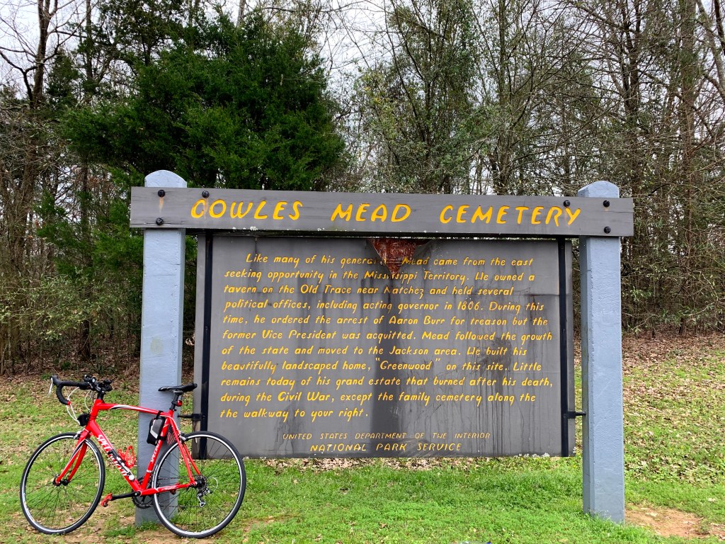
Natchez Trace Cycle Tours
Natchez Trace Cycle Tours offers four, five, or seven-day trips, based on your schedule, not set dates.
Black Bear Adventures
Black Bear Adventures takes 10 days to tour the Trace on bicycle, with options in both spring and fall.
Downtown Karla Brown
Downtown Karla Brown, based in Natchez, offers a shuttle service. Leave your car in Natchez, let Karla drive you and your bikes to the northern terminus, then bike south. Karla also offers a three-day, 100-mile bike tour of the Trace.
For more information on cycling on the Trace, see the National Park Service website and Natchez Trace Travel.
Plan your adventure today
Southern adventures await
Pin it for later


If you’re traveling the Natchez Trace Parkway by bicycle, as many do, you should plan ahead, as 444 miles is a significant ride. People of all fitness levels, ages, and abilities complete this ride, which ESPN rates as one of the 10 best bike routes in the country. The lack of dangerous road traffic combined with beautiful scenery and mild weather makes it particularly appealing to newbies and experienced pedalers alike. Here are some strategies and resources for biking the Natchez Trace Parkway:
Planning your ride
Before you begin, figure out approximately how many miles you plan to bike a day. If you plan to do the trip in a week, you’ll need to average at least 75 miles per day, with limited detours. Make a training plan that gets you up to that mileage.
When you first glance at the Trace you may notice there are no designated bicycle lanes. That’s because National Park Service has designated the Trace in its entirety—all 444 miles—as a bicycle route. Bicyclists share the road with recreational vehicles, cars, and motorcycles. Drivers should move into the left lane to give cyclists more room (when there isn’t oncoming traffic, of course).
Want to bike for a cause and make your experience even more meaningful? Consider Erase the Trace, a charity bike ride along the Natchez Trace raising funds for Glioblastoma cancer research. If you can't make it, you can still join as a virtual rider or donate—or start training for next year's ride!
If you’d like to cycle a portion of the Trace, there is infrastructure to support your ride. It’s possible to leave your car parked for an extended period in one of several parking lots, provided you complete a vehicle contact form. A few of the lots recommended by the park service are at Garrison Creek (milepost 427.6), Gordon House and Ferry Site (milepost 407.7), Natchez Trace Parkway Headquarters and Visitor Center (milepost 266), and the Parkway Information Cabin (milepost 102.4). See the NPS website for more recommended lots.
Because so many people bike the Trace, most of the nearby hotels and bed-and-breakfasts offer secure places for guests to lock bicycles. Some even offer basic repair tools and services. Park bikes, cars, and motorcycles in well-lit parking lots. Use locking bike racks if traveling with bicycles on your car.
Bike-only campgrounds

There are five bike-only campgrounds on the parkway:
• junction with TN‑50 (milepost 408)
• Colbert’s Ferry Site (milepost 327)
• Witch Dance (milepost 234)
• Natchez Trace Parkway Headquarters and Visitor Center (milepost 266)
• town of Kosciusko (milepost 159)
To get your own bicycle to the start of this epic adventure, you’ll want to ship it ahead. Bike Flights is a concierge service that will help you pack and ship your bike—and get it back home when you’re done. They offer several shipping speeds and methods. Prices vary based on shipment origin but start at around $60 each way.
Bike tours and shuttles
If you don’t want to do it alone, there are tour companies and shuttles to help you out:
Lizard Head Cycling Guides
Lizard Head Cycling Guides has both spring and fall guided trips, on which you can bring your bike or rent one. The cost of the seven-day trek includes meals, lodging, shuttles, and mechanical support. These trips begin in Natchez and head north to Nashville.
Cycle of Life Adventures
Cycle of Life Adventures offers Trace trips four times a year. If you need a little extra boost, you can rent an e-bike (an electric bike) instead of a traditional bike.
VBT
VBT offers a six-day tour of the Mississippi section of the Trace, including lodging, meals, tours of Vicksburg National Military Park, and more.

Natchez Trace Cycle Tours
Natchez Trace Cycle Tours offers four, five, or seven-day trips, based on your schedule, not set dates.
Black Bear Adventures
Black Bear Adventures takes 10 days to tour the Trace on bicycle, with options in both spring and fall.
Downtown Karla Brown
Downtown Karla Brown, based in Natchez, offers a shuttle service. Leave your car in Natchez, let Karla drive you and your bikes to the northern terminus, then bike south. Karla also offers a three-day, 100-mile bike tour of the Trace.
For more information on cycling on the Trace, see the National Park Service website and Natchez Trace Travel.
Plan your adventure today
Southern adventures await
Pin it for later

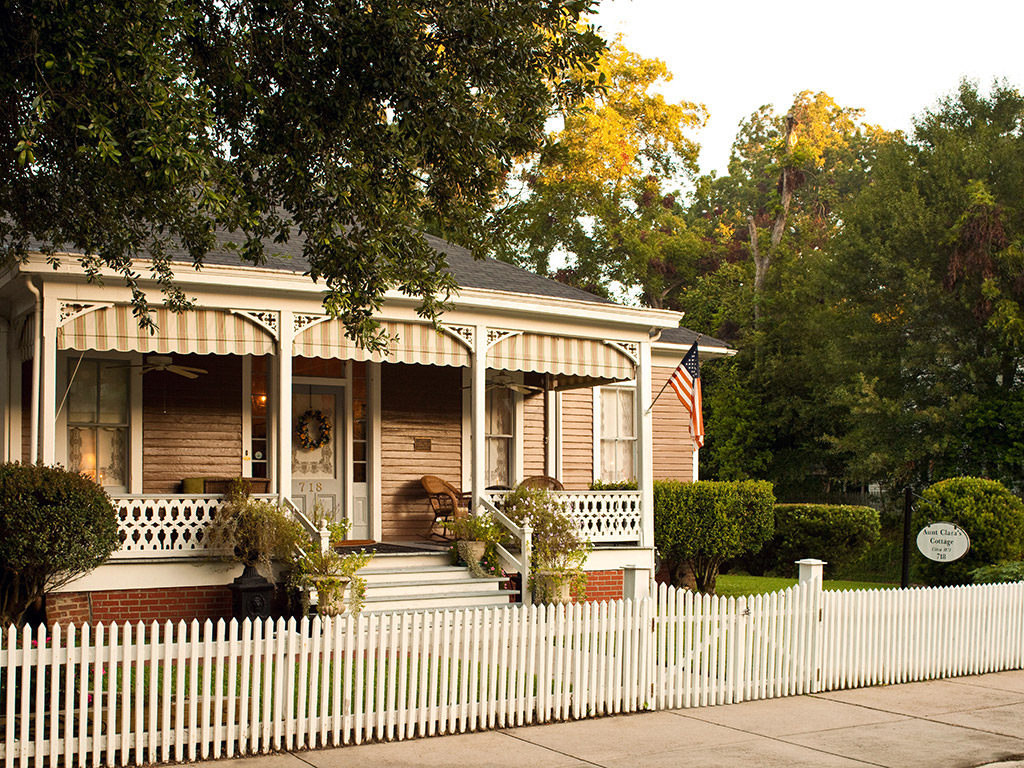
A road trip along the Natchez Trace Parkway originates in Nashville, crosses through Tennessee, cuts across a corner of Alabama, and then traverses much of Mississippi before ending in Natchez. From there, you’re just a short drive from New Orleans.
To help you choose where to stay each night along this scenic 444-mile route, we've gathered together our favorite cabins, B&Bs, campgrounds, and hotels. Whatever your preference, you'll find great lodging options for your trip along the Natchez Trace. Make sure to watch out for bicyclists along the way, since this trail is known as one of the best bike routes in the country.
Tennessee
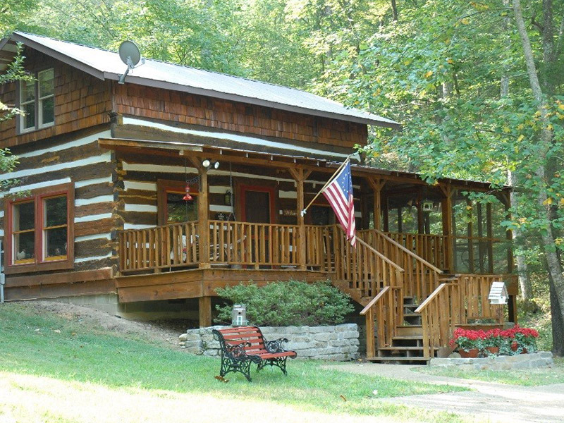
Franklin
The log cabin that is now The Cabin at Cedar Run Farm (5330 Old Harding Rd.) may have been built in 1840, but this isn’t roughing it. The two-story cabin has a full kitchen, Internet access, and a cute front porch perfect for sipping your morning coffee.
Columbia
Built in 1960, the Inn at Bigby Creek (1306 Trotwood Ave.) might be more modern than the word “inn” usually conjures up. But this house, the former home of a Columbia mayor, is a perfect getaway. There are three guest rooms, with amenities like free Wi-Fi, private bathrooms, high-end sheets, and a full breakfast. Stroll through the 1.5 acres before continuing your travels.
Hohenwald
The Meriwether Lewis Monument and Gravesite Campground has 32 campsites. There are no fees and reservations are not accepted; this is a first-come, first-served situation. There’s a cross-section of wooded, secluded spots, and some with wide-open views of the landscape. All of the spots are fairly close to one another, but thanks to the foliage that grows so quickly in this climate, you won’t feel like the folks in the site next to you can see into your tent.
Sometimes you’re traveling with folks who want different things. Some people want to pitch a tent, while others want a real mattress. At Fall Hollow B&B and Campground (1329 Columbia Hwy.), both options are possible. The B&B has two motel-style rooms, plus two rooms in the main house; rates include breakfast. The campground has 21 RV hookup sites, plus tent camping and a bathhouse with heated showers.
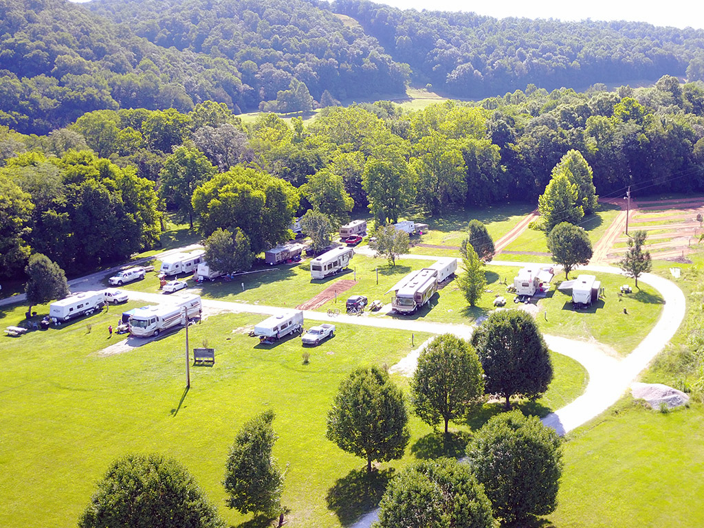
Alabama
Sheffield
You don’t have to be famous (or talented) to stay at Muscle Shoals Music House (117 Lakewood Dr.). This two-room B&B on the banks of the Tennessee River claims to be where Bob Dylan and others stayed when they came to record at Muscle Shoals Sound Studio. Room rate includes breakfast. Free Wi-Fi is offered. A two-night stay is required.
Florence
The area’s most luxurious hotel is the Marriott Shoals Hotel & Spa (10 Hightower Pl.). The 360-degree views from the top of the hotel are unparalleled. Rooms include free mini-fridges and are pet-friendly (additional $75 fee). The hotel has both indoor and outdoor pools, a fitness center, a spa, and two onsite restaurants.
The Residence Inn Marriott (1000 Sweetwater Ave.) is a surprising find. The all-suites hotel features rooms with kitchens, a nice pool with outdoor seating, and an outdoor barbecue area. The hotel has green hotel certification, nice sculptures in the hallways, and decent views. The free breakfast has plenty of gluten-free and non-pork options.
If you want the great outdoors, combined with great fishing, plan to rest at Joe Wheeler State Park (4403 McLean Dr.). This 2,550-acre park on Wheeler Lake includes a lodge with restaurant and convention center, an 18-hole golf course and clubhouse, marina, and campsites (both modern sites with amenities and primitive ones).
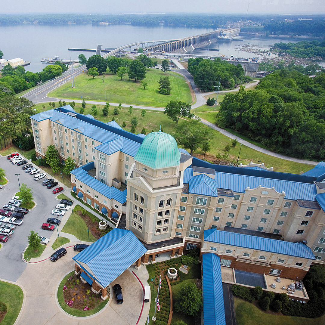
Northern Mississippi
Less than three miles from Cave Spring and just 0.75 mile off the parkway is Bear Creek Saloon Guesthouse (1338 MS-30, Tishomingo). This unhosted guesthouse was once a family retreat and now sleeps 1-3 people (with a queen bed and twin bed). It also has a kitchen and laundry facilities. Because of its proximity to the Trace, it’s perfect for those traveling by bicycle. Children are welcome, but pets are not allowed. The owners have provided a fire pit as well as information on food delivery.
Tishomingo State Park
Named for Chief Tishomingo, once leader of the Chickasaw Nation, Tishomingo State Park (105 County Road 90) is more than 1,500 acres, a great place to recreate near the Trace. Limestone outcroppings provide the backdrop for lots of outdoor recreation options, including canoeing on 45-acre Bear Lake, fishing on well-stocked Bear and Haynes Lakes, swimming, picnicking, disc golf, volleyball, rock climbing, and hiking on the park’s 13 miles of trails.
The park offers campsites for tents and RVs (62 sites) and historic Civilian Conservation Corps cabins, many of which are ringed by wildflowers and ferns in the spring. The cabins have fireplaces and screened porches. There is also an accessible cottage (linens not included).
Just before milepost 293.2, you can exit the Trace at John Rankin Highway to explore the Tennessee-Tombigbee landscape. There are eight different campgrounds managed by the Army Corps on the Tenn-Tom Waterway, five of which are in Mississippi. Piney Grove Campground, the closest to the parkway, has 114 RV sites, with a swimming beach, laundry, electricity, and other amenities. To get there, exit John Rankin Highway (County Road 3501) and take it north to County Road 3550, about 13 miles. Entrance to the campground will be on the left. Retrace your steps to return to the parkway.
Tupelo
The Moon Lake Farm B&B (3130 Endville Rd.) has three guest rooms, all with their own entrances and decks offering great views of the property. You can fish on-site and go horseback riding.
Central Mississippi
Oxford
Walking distance to downtown, The Z Bed & Breakfast (1405 Pierce Ave.) is a quirky, homey B&B with three rooms, each tastefully and uniquely decorated. Prices include full homemade breakfast plus wine and cookies nightly. There are two bikes available for your use, plus the backyard has a fire pit and grill. The owners have two other properties in town, The Z Shanty and The White House, which are appropriate for larger parties and family reunions.
Davis Lake Campground has more than 20 campsites, 14 of which are on the lake itself. Some of the campsites have electricity, and there are showers and other amenities. Davis Lake is one of two campgrounds in Tombigbee National Forest. The other, Choctaw Lake, is south of Starkville and farther from the parkway.
Follow Davis Road to reach the park entrance and ranger station. To return to the parkway, drive east on David Road for four miles. Turn left to exit Davis Road, then right to continue south on the Trace.
Starkville
Hotel Chester (101 N. Jackson St.) is downtown’s signature boutique hotel. In a restored 1925 building, Hotel Chester is a funny combination of styles and history, with modern (if small) rooms, a glass elevator, and a lobby and exterior that are old world. There are several restaurants on-site, including The Beer Garden, whose claims to fame are a menu courtesy of Gordon Ramsay and a serene patio, perfect on spring and fall nights. The included breakfast is made-to-order.
The Jeff Busby Campground (no reservations, free) has 18 first-come, first-served sites, with some primitive tent sites as well as RV sites. Most of the campsites are pullthroughs. There is also ample overflow parking. Claim your spot by pitching your tent or parking your RV. There are picnic tables and a grill at each site. The campground has bathrooms but no showers or dumping stations.
French Camp Historic District (1 Fine Pl.) is one of the few tourist stops along the parkway. This area, named for Frenchman Louis LeFleur, who opened an inn (called a “stand”) here in 1812, is today home to French Camp Academy, a Christian boarding school, as well as a collection of businesses run by the academy and its students. French Camp has a distinct vibe: part national park, part Disneyland, and part Sunday school.
The academy also runs the French Camp B&B, with an option of three different cabins and cottages, including a historic log cabin. Wi-Fi is available in the main house. There’s no alcohol or tobacco permitted. The included breakfast is served at the Council House Café. Pets are permitted for a $15 fee.
Southern Mississippi

Jackson
Head to the Fairview Inn (734 Fairview St.) for a Southern experience. This former 1908 Colonial Revival mansion on the Register of Historic Places is Jackson’s only small luxury hotel. Amenities include a library, bar, restaurant, spa, and lovely gardens in which to stroll. The rooms are large, some with parlors and fireplaces and giant soaking tubs. Service is attentive, but more like a B&B than a traditional hotel.
Locals love to hang at the rooftop bar of the Old Capitol Inn (226 N. State St.), which is housed in a pretty brick building that was once a YWCA. In addition to the rooftop garden, the hotel has a ballroom and Jacuzzi suites. The fitness center is next door.

Natchez
Owners Ron and Eleanor chose Natchez as their retirement destination and running a B&B as their second career, and their passion for both is clear at every turn at Devereaux Shields House (709 N. Union St.). The main house is a restored 1893 Queen Anne Victorian; down the street are four more rooms in Aunt Clara’s Cottage, which is pet-friendly. Both have gardens in back and private baths, plus amenities such as white noise machines, Wi-Fi, cable, and fluffy robes. Welcome receptions with wine and cheese occur every afternoon. The common areas are as luxurious as the private rooms, and the owners are enthusiastic about helping guests see the best of Natchez.
Monmouth Historic Inn and Gardens (1358 John A. Quitman Blvd.) feels more like a resort than a B&B. There are 15 suites and 15 rooms between the historic main house and the smaller outbuildings, each with period furnishings and modern amenities. TVs and Wi-Fi are present, but hidden, so as not to detract from the old-world charm. The bathrooms are modern and luxurious. Some rooms have spa tubs or fireplaces. Fine-dining can be found at Restaurant 1818, while a full Southern breakfast is served in a garden building and evening hors d’oeuvres are in the bar. Tours of the home and grounds are offered at 10am and 2pm daily (free for hotel guests).
Southern adventures await
Pin it for Later


A road trip along the Natchez Trace Parkway originates in Nashville, crosses through Tennessee, cuts across a corner of Alabama, and then traverses much of Mississippi before ending in Natchez. From there, you’re just a short drive from New Orleans.
To help you choose where to stay each night along this scenic 444-mile route, we've gathered together our favorite cabins, B&Bs, campgrounds, and hotels. Whatever your preference, you'll find great lodging options for your trip along the Natchez Trace. Make sure to watch out for bicyclists along the way, since this trail is known as one of the best bike routes in the country.
Tennessee

Franklin
The log cabin that is now The Cabin at Cedar Run Farm (5330 Old Harding Rd.) may have been built in 1840, but this isn’t roughing it. The two-story cabin has a full kitchen, Internet access, and a cute front porch perfect for sipping your morning coffee.
Columbia
Built in 1960, the Inn at Bigby Creek (1306 Trotwood Ave.) might be more modern than the word “inn” usually conjures up. But this house, the former home of a Columbia mayor, is a perfect getaway. There are three guest rooms, with amenities like free Wi-Fi, private bathrooms, high-end sheets, and a full breakfast. Stroll through the 1.5 acres before continuing your travels.
Hohenwald
The Meriwether Lewis Monument and Gravesite Campground has 32 campsites. There are no fees and reservations are not accepted; this is a first-come, first-served situation. There’s a cross-section of wooded, secluded spots, and some with wide-open views of the landscape. All of the spots are fairly close to one another, but thanks to the foliage that grows so quickly in this climate, you won’t feel like the folks in the site next to you can see into your tent.
Sometimes you’re traveling with folks who want different things. Some people want to pitch a tent, while others want a real mattress. At Fall Hollow B&B and Campground (1329 Columbia Hwy.), both options are possible. The B&B has two motel-style rooms, plus two rooms in the main house; rates include breakfast. The campground has 21 RV hookup sites, plus tent camping and a bathhouse with heated showers.

Alabama
Sheffield
You don’t have to be famous (or talented) to stay at Muscle Shoals Music House (117 Lakewood Dr.). This two-room B&B on the banks of the Tennessee River claims to be where Bob Dylan and others stayed when they came to record at Muscle Shoals Sound Studio. Room rate includes breakfast. Free Wi-Fi is offered. A two-night stay is required.
Florence
The area’s most luxurious hotel is the Marriott Shoals Hotel & Spa (10 Hightower Pl.). The 360-degree views from the top of the hotel are unparalleled. Rooms include free mini-fridges and are pet-friendly (additional $75 fee). The hotel has both indoor and outdoor pools, a fitness center, a spa, and two onsite restaurants.
The Residence Inn Marriott (1000 Sweetwater Ave.) is a surprising find. The all-suites hotel features rooms with kitchens, a nice pool with outdoor seating, and an outdoor barbecue area. The hotel has green hotel certification, nice sculptures in the hallways, and decent views. The free breakfast has plenty of gluten-free and non-pork options.
If you want the great outdoors, combined with great fishing, plan to rest at Joe Wheeler State Park (4403 McLean Dr.). This 2,550-acre park on Wheeler Lake includes a lodge with restaurant and convention center, an 18-hole golf course and clubhouse, marina, and campsites (both modern sites with amenities and primitive ones).

Northern Mississippi
Less than three miles from Cave Spring and just 0.75 mile off the parkway is Bear Creek Saloon Guesthouse (1338 MS-30, Tishomingo). This unhosted guesthouse was once a family retreat and now sleeps 1-3 people (with a queen bed and twin bed). It also has a kitchen and laundry facilities. Because of its proximity to the Trace, it’s perfect for those traveling by bicycle. Children are welcome, but pets are not allowed. The owners have provided a fire pit as well as information on food delivery.
Tishomingo State Park
Named for Chief Tishomingo, once leader of the Chickasaw Nation, Tishomingo State Park (105 County Road 90) is more than 1,500 acres, a great place to recreate near the Trace. Limestone outcroppings provide the backdrop for lots of outdoor recreation options, including canoeing on 45-acre Bear Lake, fishing on well-stocked Bear and Haynes Lakes, swimming, picnicking, disc golf, volleyball, rock climbing, and hiking on the park’s 13 miles of trails.
The park offers campsites for tents and RVs (62 sites) and historic Civilian Conservation Corps cabins, many of which are ringed by wildflowers and ferns in the spring. The cabins have fireplaces and screened porches. There is also an accessible cottage (linens not included).
Just before milepost 293.2, you can exit the Trace at John Rankin Highway to explore the Tennessee-Tombigbee landscape. There are eight different campgrounds managed by the Army Corps on the Tenn-Tom Waterway, five of which are in Mississippi. Piney Grove Campground, the closest to the parkway, has 114 RV sites, with a swimming beach, laundry, electricity, and other amenities. To get there, exit John Rankin Highway (County Road 3501) and take it north to County Road 3550, about 13 miles. Entrance to the campground will be on the left. Retrace your steps to return to the parkway.
Tupelo
The Moon Lake Farm B&B (3130 Endville Rd.) has three guest rooms, all with their own entrances and decks offering great views of the property. You can fish on-site and go horseback riding.
Central Mississippi
Oxford
Walking distance to downtown, The Z Bed & Breakfast (1405 Pierce Ave.) is a quirky, homey B&B with three rooms, each tastefully and uniquely decorated. Prices include full homemade breakfast plus wine and cookies nightly. There are two bikes available for your use, plus the backyard has a fire pit and grill. The owners have two other properties in town, The Z Shanty and The White House, which are appropriate for larger parties and family reunions.
Davis Lake Campground has more than 20 campsites, 14 of which are on the lake itself. Some of the campsites have electricity, and there are showers and other amenities. Davis Lake is one of two campgrounds in Tombigbee National Forest. The other, Choctaw Lake, is south of Starkville and farther from the parkway.
Follow Davis Road to reach the park entrance and ranger station. To return to the parkway, drive east on David Road for four miles. Turn left to exit Davis Road, then right to continue south on the Trace.
Starkville
Hotel Chester (101 N. Jackson St.) is downtown’s signature boutique hotel. In a restored 1925 building, Hotel Chester is a funny combination of styles and history, with modern (if small) rooms, a glass elevator, and a lobby and exterior that are old world. There are several restaurants on-site, including The Beer Garden, whose claims to fame are a menu courtesy of Gordon Ramsay and a serene patio, perfect on spring and fall nights. The included breakfast is made-to-order.
The Jeff Busby Campground (no reservations, free) has 18 first-come, first-served sites, with some primitive tent sites as well as RV sites. Most of the campsites are pullthroughs. There is also ample overflow parking. Claim your spot by pitching your tent or parking your RV. There are picnic tables and a grill at each site. The campground has bathrooms but no showers or dumping stations.
French Camp Historic District (1 Fine Pl.) is one of the few tourist stops along the parkway. This area, named for Frenchman Louis LeFleur, who opened an inn (called a “stand”) here in 1812, is today home to French Camp Academy, a Christian boarding school, as well as a collection of businesses run by the academy and its students. French Camp has a distinct vibe: part national park, part Disneyland, and part Sunday school.
The academy also runs the French Camp B&B, with an option of three different cabins and cottages, including a historic log cabin. Wi-Fi is available in the main house. There’s no alcohol or tobacco permitted. The included breakfast is served at the Council House Café. Pets are permitted for a $15 fee.
Southern Mississippi

Jackson
Head to the Fairview Inn (734 Fairview St.) for a Southern experience. This former 1908 Colonial Revival mansion on the Register of Historic Places is Jackson’s only small luxury hotel. Amenities include a library, bar, restaurant, spa, and lovely gardens in which to stroll. The rooms are large, some with parlors and fireplaces and giant soaking tubs. Service is attentive, but more like a B&B than a traditional hotel.
Locals love to hang at the rooftop bar of the Old Capitol Inn (226 N. State St.), which is housed in a pretty brick building that was once a YWCA. In addition to the rooftop garden, the hotel has a ballroom and Jacuzzi suites. The fitness center is next door.

Natchez
Owners Ron and Eleanor chose Natchez as their retirement destination and running a B&B as their second career, and their passion for both is clear at every turn at Devereaux Shields House (709 N. Union St.). The main house is a restored 1893 Queen Anne Victorian; down the street are four more rooms in Aunt Clara’s Cottage, which is pet-friendly. Both have gardens in back and private baths, plus amenities such as white noise machines, Wi-Fi, cable, and fluffy robes. Welcome receptions with wine and cheese occur every afternoon. The common areas are as luxurious as the private rooms, and the owners are enthusiastic about helping guests see the best of Natchez.
Monmouth Historic Inn and Gardens (1358 John A. Quitman Blvd.) feels more like a resort than a B&B. There are 15 suites and 15 rooms between the historic main house and the smaller outbuildings, each with period furnishings and modern amenities. TVs and Wi-Fi are present, but hidden, so as not to detract from the old-world charm. The bathrooms are modern and luxurious. Some rooms have spa tubs or fireplaces. Fine-dining can be found at Restaurant 1818, while a full Southern breakfast is served in a garden building and evening hors d’oeuvres are in the bar. Tours of the home and grounds are offered at 10am and 2pm daily (free for hotel guests).
Southern adventures await
Pin it for Later

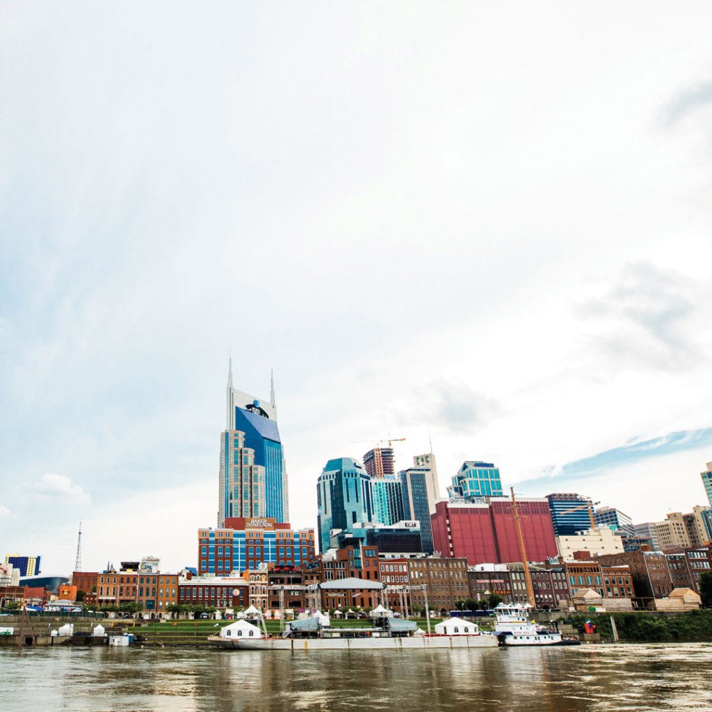
There are songs in the air all around Nashville—in the honky-tonks lining lower Broadway, in the studios along Music Row, and in Music Valley, modern home of the Opry.
During the annual Country Music Association (CMA) Music Festival in June, the whole city is alive with the foot-tapping rhythm of country music. But locals like Jack White, Robert Plant, and the Kings of Leon have done their part to make Music City’s sound more than just twang.
Nashville is also the city where performers and songwriters come to make it in the music business. Listening rooms and nightclubs all over the city are the beneficiaries of this abundance of hopeful talent, and their creativity and energy seep into almost everything in this city.
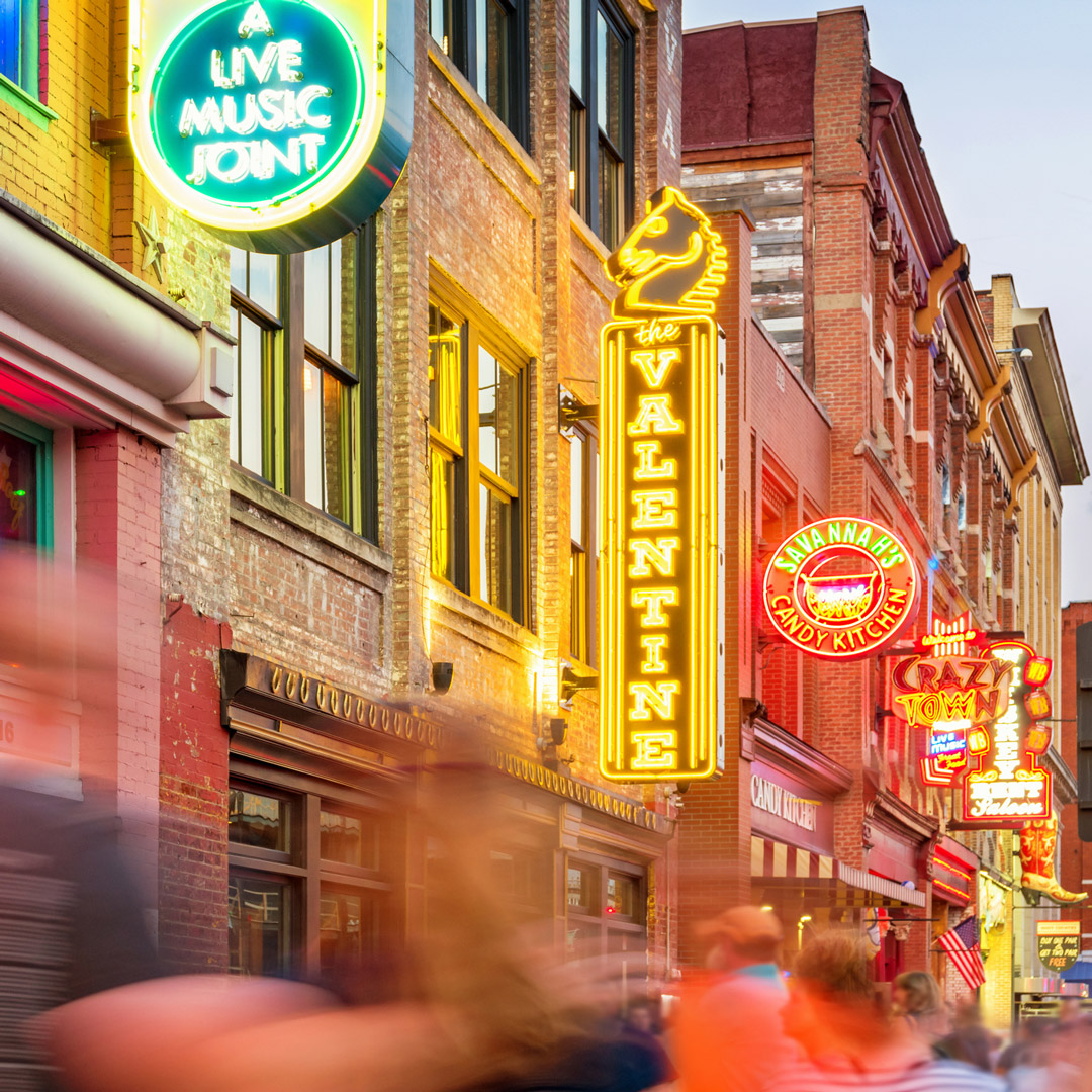
It is wrong to think that music, country or otherwise, is all there is to Nashville. After the Civil War and Reconstruction, Nashville became known as the Athens of the South because it was a center for education and the arts. Nashville offers visitors much more than a night at the Opry: Art buffs love the Frist Center for the Visual Arts, Carl Van Vechten Gallery, and Cheekwood art museum, not to mention neighborhood and downtown gallery districts. The Nashville Symphony Orchestra plays in the elegant, acclaimed, and renovated Schermerhorn Symphony Center downtown.
Downtown is dominated by tall office towers and stately government buildings, including the state capitol. Meat-and-three restaurants serve irresistible Southern-style meals, East Nashville welcomes award-winning chefs, while eateries along Nolensville Pike reflect the ethnic diversity of the city. This is a city that strikes many notes but sings in perfect harmony.
If you're looking to spend a weekend in Nashville, here are the top things to add to your itinerary.
Day 1
Arrive in Nashville. Check into a downtown or South Nashville hotel, such as the Thompson or Union Station. Set out on foot to the Tennessee State Capitol and the Civil Rights Room at the Nashville Public Library.
Feast at Chauhan Ale & Masala House for lunch. Stroll lower Broadway and enjoy dancing at the honky-tonks on your first night in town. Grab dinner at Pinewood Social.
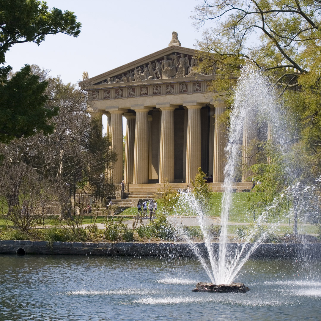
Day 2
Visit the Country Music Hall of Fame and Museum in the morning and grab an early lunch at Arnold’s Country Kitchen to fuel up. In the afternoon, check out the Ryman Auditorium and Johnny Cash Museum.
In the evening, see a show at the Grand Ole Opry. Call Jake’s Bakes to have warm cookies delivered to your hotel room before you tuck yourself in.
If you head west to the Natchez Trace Parkway the next morning, drive by Centennial Park and see The Parthenon.
Start planning your adventure
Southern adventures await
Pin it for later

There are songs in the air all around Nashville—in the honky-tonks lining lower Broadway, in the studios along Music Row, and in Music Valley, modern home of the Opry.
During the annual Country Music Association (CMA) Music Festival in June, the whole city is alive with the foot-tapping rhythm of country music. But locals like Jack White, Robert Plant, and the Kings of Leon have done their part to make Music City’s sound more than just twang.
Nashville is also the city where performers and songwriters come to make it in the music business. Listening rooms and nightclubs all over the city are the beneficiaries of this abundance of hopeful talent, and their creativity and energy seep into almost everything in this city.

It is wrong to think that music, country or otherwise, is all there is to Nashville. After the Civil War and Reconstruction, Nashville became known as the Athens of the South because it was a center for education and the arts. Nashville offers visitors much more than a night at the Opry: Art buffs love the Frist Center for the Visual Arts, Carl Van Vechten Gallery, and Cheekwood art museum, not to mention neighborhood and downtown gallery districts. The Nashville Symphony Orchestra plays in the elegant, acclaimed, and renovated Schermerhorn Symphony Center downtown.
Downtown is dominated by tall office towers and stately government buildings, including the state capitol. Meat-and-three restaurants serve irresistible Southern-style meals, East Nashville welcomes award-winning chefs, while eateries along Nolensville Pike reflect the ethnic diversity of the city. This is a city that strikes many notes but sings in perfect harmony.
If you're looking to spend a weekend in Nashville, here are the top things to add to your itinerary.
Day 1
Arrive in Nashville. Check into a downtown or South Nashville hotel, such as the Thompson or Union Station. Set out on foot to the Tennessee State Capitol and the Civil Rights Room at the Nashville Public Library.
Feast at Chauhan Ale & Masala House for lunch. Stroll lower Broadway and enjoy dancing at the honky-tonks on your first night in town. Grab dinner at Pinewood Social.

Day 2
Visit the Country Music Hall of Fame and Museum in the morning and grab an early lunch at Arnold’s Country Kitchen to fuel up. In the afternoon, check out the Ryman Auditorium and Johnny Cash Museum.
In the evening, see a show at the Grand Ole Opry. Call Jake’s Bakes to have warm cookies delivered to your hotel room before you tuck yourself in.
If you head west to the Natchez Trace Parkway the next morning, drive by Centennial Park and see The Parthenon.
Start planning your adventure
Southern adventures await
Pin it for later


Browse our recommended reads to to be your best self this summer. Scroll all the way to the end to enter our exclusive sweepstakes for a chance to win a bundle of all 6 books!
What if your broken foot is a warning not to accept that new job? What if you got the flu not because of ‘bad luck,’ but as a cosmic gift to keep you away from a family gathering that became a toxic bloodbath? What if all of your chronic symptoms are hints, pointing you towards a better life, if only you could decipher the clues? Ask Your Spirit answers these questions by teaching you how to converse directly with your spirit. The connection to this invaluable resource provides you with personalized guidance on health, relationships, and career dilemmas.
Unlike many spiritual books that simply help you “increase your intuition” or offer general tips on connecting to spirit guides, esteemed medical intuitive Christine Lang provides a detailed, step-by-step process for establishing a practical dialogue with the wisest part of you that’s committed to spiritual growth in this lifetime. This ongoing conversation with your inner wisdom is like having your spirit on speed dial.
You’ll learn how to discern between your soul’s voice and your ego’s voice so you can start trusting your spirit’s priorities, decoding its messages, and understand the expiration date of your messages. Along with client-centered success stories and testimonials from medical professionals, you’ll see exactly how these practices offer life-changing results.
Rooted in the story of his own transformative journey, a monk and internationally beloved founder of Yoga of Immortals shares the methods he uses to help us tap into our unlimited potential.
Ishan Shivanand was born into an ancient lineage of yogis spanning twenty-one generations, and spent the first twenty years of his life in a Himalayan monastery. Grounded in the traditions of yoga, meditation, martial arts, storytelling, and herbal medicine, he developed the Yoga of Immortals (YOI) protocol, which is designed to help followers combat stress, anxiety, depression, and create healthy individuals and healthy communities. The Practice of Immortality shares these lessons and practices. In a world suffering the effects of fear, competitiveness, and anger, Ishan encourages us to take a step back.
Structured as a thoughtful narrative with practices based in the true intentions and meaning of yoga, The Practice of Immortality will help you achieve that which you never thought possible.
Joy can feel complicated, especially to someone who is struggling. Against the very real darkness that life offers up, a chorus of “but do you have a gratitude journal?” or “have you tried yoga?” can feel isolating and dismissive. And yet, the research on resilience, joy, gratitude, hope, and post-traumatic growth proves unequivocally that these emotions are healing. When it comes to deploying that research and adapting it into actionable tools for people with a history of trauma, psychology falls desperately short. To bridge this gap, Dr. MaryCatherine McDonald has reframed these concepts and created new interventions for anyone who struggles to feel at home with joy.
In The Joy Reset, Dr. McDonald helps readers identify barriers that prevent them from accessing joy—hypervigilance, emotional numbing, fear of loss, conditioning, guilt, and shame—and then redefines positive emotions as those tenacious, gritty, often tiny experiences that appear within the darkest moments and form the very foundation of psychological resilience. Rooted in the neurobiology that explains how and why trauma and suffering can impede our path to hope and joy, Dr. McDonald shares exercises that make joy and gratitude both bite-sized and accessible, inviting readers to welcome these emotions back in.
By emphasizing the very real ways that joy and hope show up even in our toughest moments, The Joy Reset empowers readers to find the light in the dark—no matter what.
We endure so much over the course of our lives. Some of it is beautiful; some of it traumatic and sometimes, that trauma can keep us from realizing and embracing all the good we cultivate; our successes and achievements and positive relationships.
This book is for those who feel like something in life is missing, like they want to change some aspect of their lives or themselves, but are being held back as they are denying the true origin of these feelings…so they are stuck. They may be high-achievers and externally, their life looks perfect, yet they are struggling to accept themselves, or even like themselves. They lack the tools, self-trust and personal power to make their ideal life real. In this space, Devi Brown offers help for those struggling to recognize the barriers that keep them from experiencing joy, vulnerability, and self-knowledge. Sharing the wisdom she has gathered as a healer and master well-being educator, Brown guides readers along the path to self-mastery through a combination of spirituality, psychology, ancient wisdom traditions, edgy holistic self-care, and her own inspiring and surprising life experiences. Readers will:
- Learn aligned decision-making
- Gain practices to alleviate internal suffering
- Expand awareness of their unhelpful patterns
- Discover an integrated approach to self-love and self-acceptance
- Live in embodied wellness
Are you living the life you’re meant to be living, or fulfilling somebody else’s ideas of who you should be? Would you like to learn what’s true for you underneath the programming while healing old wounds that keep you living in cycles of trauma, depression, and anxiety? Truth Medicine explains why we often feel stuck and are unable to move forward into a life of thriving, and how psychedelic psychotherapy addresses these essential questions for our well-being.
Grounded in research and experience, Truth Medicine answers frequently asked questions about psychedelic psychotherapy—what it is and how it works, and what medicines are used (primarily ketamine, with an overview of other medicines on the horizon, such as MDMA and psilocybin), contraindications, and more. Walking readers through the whole process from preparation through medicine sessions and into integration, Dr. Sapiro also shares case studies that are inspiring, engaging, and raw, for a go-to guide for anyone looking to heal. While Truth Medicine describes in detail how psychedelic psychotherapy works to bring about healing and growth, it ultimately points you back inside yourself, where your own wisdom and truth are waiting to be discovered and lived.
Everything in your life comes down to how connected you are to your own body. When things feel out of alignment, overwhelming or “too much,” it’s a sign that you’ve already lost communication with yourself and the physical sensations within your body that let you know something is not right. Many of us have difficulty even fathoming what a healthy relationship with our body is. We are overscheduled, overcommitted, and overwhelmed, making it difficult to pay attention to what is happening in the present moment. Many of us have spent years disconnected from our physical sensations, and the thought of reestablishing a healthy connection to the body feels impossible and we don’t even know where to begin.
Through daily movement exercises and mindful reflection, BodyTalk will help readers form healthy boundaries and relationships with their own bodies in order to move through challenging emotions and feelings, as well as begin to find balance and a sense of vitality.
Over 365 days, you will be guided into more awareness as you’re gently challenged to connect and communicate with your body. Through a combination of movement exercises and body-centered journal prompts, you can find your way back to yourself—your worth, value, confidence, even identity.


Women outnumber men at the Lipstick Lounge (1400 Woodland Street), one of two lesbian bars on the same East Nashville intersection. This is a laid-back club with a better-than-average sound system and karaoke selection. Live music, pool, and great food attract a crowd nearly every night. The crowds are more mixed during the week than on the weekends, when it is mostly gay and lesbian.
Right next door to club Tribe is Play (1519 Church Street), the city’s highest-energy gay club, with drag shows and performances by adult-film stars. Though it is a gay bar, everyone is welcome as long as they’re happy to be there. The drag shows are quality, but it is the dance floor (right next to the stage) that draws people in. On weekends that dance floor is packed. If you want more room to get your groove on, come on weeknights without drag shows.
Start planning your adventure now
For a low-key evening of shooting pool or a happy-hour stop before dinner, TRAX (1501 Ensley Blvd.) is the place to go. The patio is a nice place to sit in warm weather. There is wireless internet and big-screen televisions, but little in the way of ambience. The back parking lot is well lit, a perk when leaving in the wee hours.
You don’t have to be gay to enjoy Tribe (1517 Church Street), but it helps to be beautiful, or at least well dressed. The dance floor here is one of the best in the city, and the atmosphere is hip. Martinis and other specialty drinks are the poison of choice at this Midtown club, which stays open until the wee hours. It has changed names and owners over the years, but has basically been the go-to gay dance spot for decades. It is next door to Play.
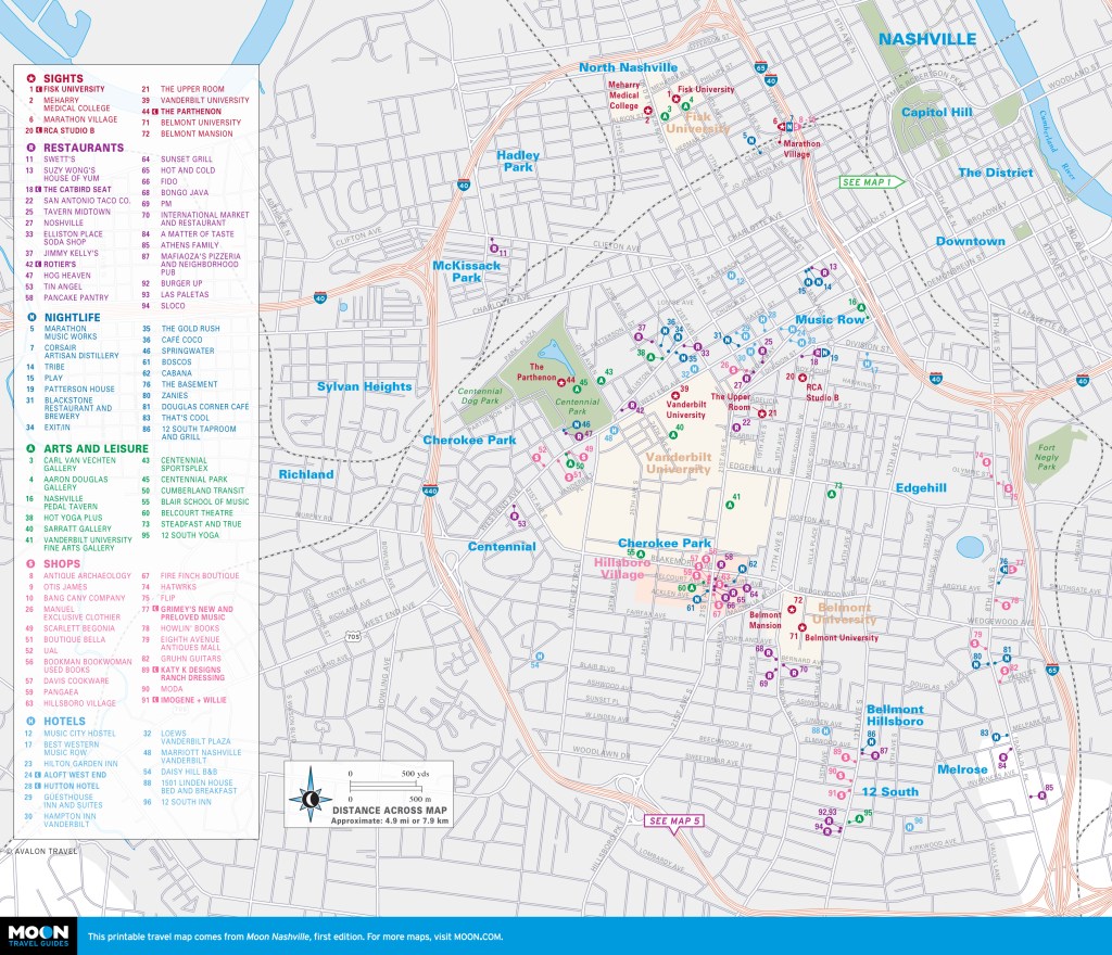
Southern adventures await
Pin it for later



Women outnumber men at the Lipstick Lounge (1400 Woodland Street), one of two lesbian bars on the same East Nashville intersection. This is a laid-back club with a better-than-average sound system and karaoke selection. Live music, pool, and great food attract a crowd nearly every night. The crowds are more mixed during the week than on the weekends, when it is mostly gay and lesbian.
Right next door to club Tribe is Play (1519 Church Street), the city’s highest-energy gay club, with drag shows and performances by adult-film stars. Though it is a gay bar, everyone is welcome as long as they’re happy to be there. The drag shows are quality, but it is the dance floor (right next to the stage) that draws people in. On weekends that dance floor is packed. If you want more room to get your groove on, come on weeknights without drag shows.
Start planning your adventure now
For a low-key evening of shooting pool or a happy-hour stop before dinner, TRAX (1501 Ensley Blvd.) is the place to go. The patio is a nice place to sit in warm weather. There is wireless internet and big-screen televisions, but little in the way of ambience. The back parking lot is well lit, a perk when leaving in the wee hours.
You don’t have to be gay to enjoy Tribe (1517 Church Street), but it helps to be beautiful, or at least well dressed. The dance floor here is one of the best in the city, and the atmosphere is hip. Martinis and other specialty drinks are the poison of choice at this Midtown club, which stays open until the wee hours. It has changed names and owners over the years, but has basically been the go-to gay dance spot for decades. It is next door to Play.

Southern adventures await
Pin it for later

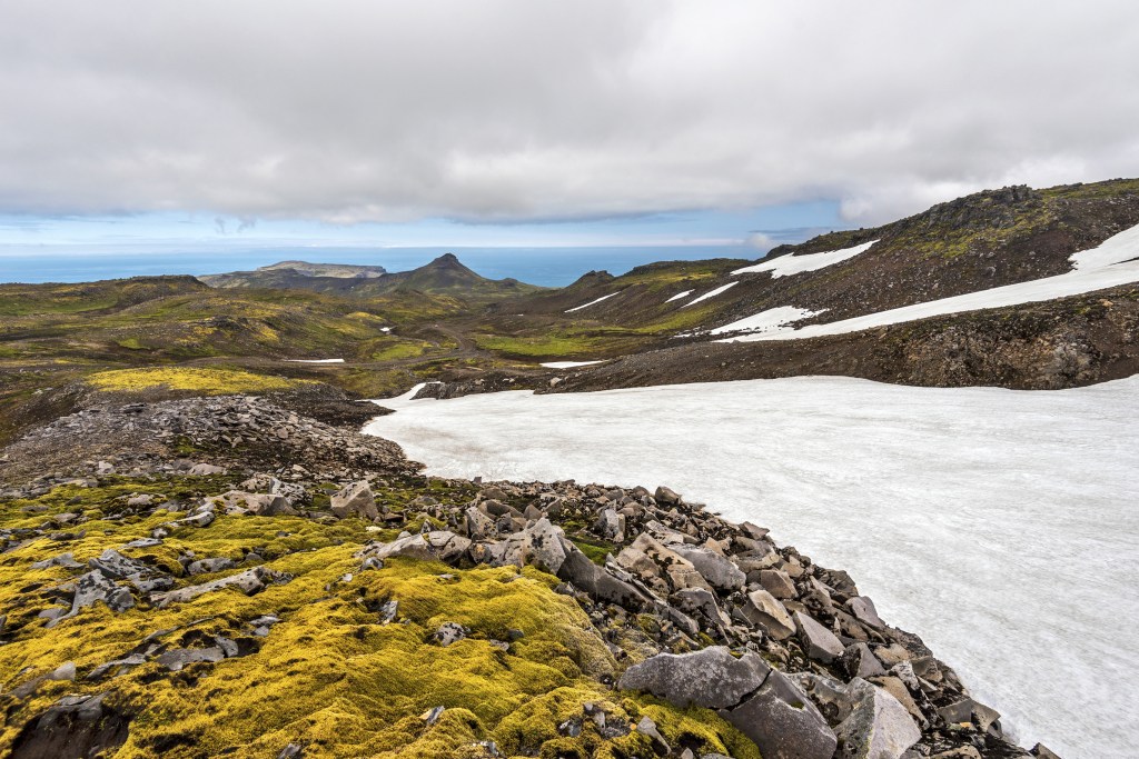
The Snæfellsjökull glacier became world famous after author Jules Verne described it as the starting point for the titular journey in Journey to the Center of the Earth. There is plenty to explore in Snæfellsjökull National Park, such as beaches, cliffs, and views of the glacier. Take some time, wear comfortable yet sturdy footwear, and bring your camera. Plan at least two days in the region.

Sights
Arnarstapi Cliffs
Arnarstapavegur, off Route 574
The seaside cliffs in the small fishing town of Arnarstapi, at the gateway to Snæfellsjökull National Park, are spectacular, with basalt formations including holes and arches carved out by surf. The cliffs are a nesting ground for the arctic tern, and you’ll love taking photos with a huge stone statue of Bárður Snæfellsás with its back to the ocean not far from the parking lot. Easy paths weave through the cliff-side area, making it a lovely place to spend 45 minutes or so.
Hellnar Cliffs
Route 5730, off Route 574
Continuing just a few kilometers west down Route 574 from the Arnarstapi Cliffs, Hellnar is another small fishing village with beautiful seaside rock formations. A 4-km (2.5-mi) walking path connects the two cliff areas.
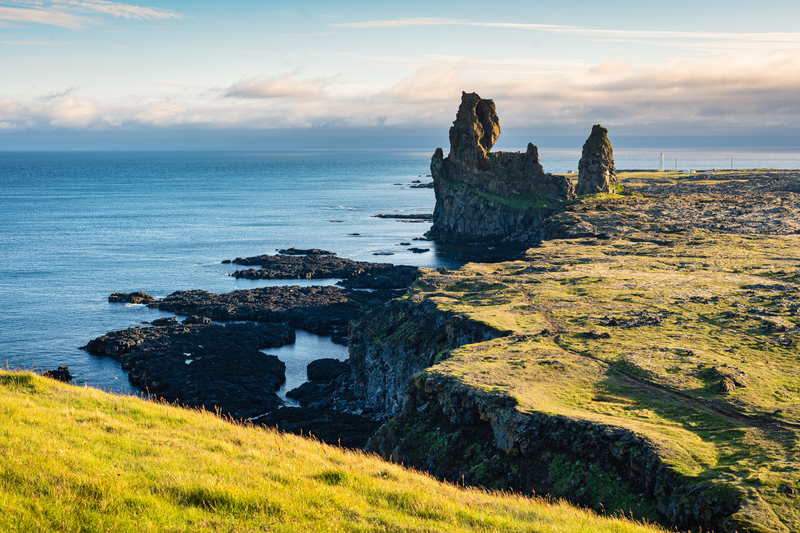
Lóndrangar Cliffs
parking area off Route 574
Yet another place to stop and have your breath taken away overlooking seaside cliffs, farther west on Route 574 from Arnarstapi and Hellnar, are the basalt cliffs, the vast remains of a crater eroded by the sea. Two stacks, 75 m (246 ft) and 61 m (200 ft) tall, are visible, home to puffins and fulmars in the summer.
Snæfellsjökull Glacier
near route 574
The Snæfellsjökull glacier lies on top of a volcano, situated in the center of the national park. The glacier’s peak is 1,446 m (4,774 ft) high, and it can be seen from Reykjavík on a clear day. The volcano is considered active, though the last eruption occurred 1,900 years ago. It takes center stage in the 1864 literary classic Journey to the Center of the Earth by Jules Verne, which chooses the summit of Snæfellsjökull as the setting of a fictional passage to the center of the earth.
Travelers can explore the area around the glacier but should not venture onto the glacier without a guide, as it can be dangerous. Plan to spend 1-2 hours here to walk the area, take photos, and enjoy the surroundings.
It’s about 190 km (118 mi) from Reykjavík to the Snæfellsjökull glacier; the drive takes about 2.5 hours. From Reykjavík, take Route 1 north through the town of Borgarnes and then turn left onto Route 54. Head west on Route 54 across the peninsula for about 98 km (61 mi), connecting to Route 574. Continue west on Route 574 for about 35 km (22 mi). You’ll find the road leading up to the volcano on the right side, and signs are posted all the way up to a parking lot. It’s essentially an enormous mountain with an ice cap. Given its literary history, many people like to visit the area and get a view of the volcano. Be sure to check the forecast before heading out, and be advised that roads leading to the volcano are unpaved.
Vatnshellir Lava Cave
near Route 574
The Vatnshellir lava cave, opened to the public in 2011, is another highlight. Scientists believe the 200-m-long (656-ft) cave was created in an eruption 6,000-8,000 years ago. The cave has two main sections: the upper section, which showcases unique lava formations that are curved on the sides of the lava tube, and the lower part, which can be reached by a long and narrow but well-maintained staircase, and takes visitors about 35 m (115 ft) underground to a place hidden from the outside world for thousands of years.
The cave is accessible only through a guided tour from Summit Guides (tel. 354/787-0001; www.summitguides.is; 45-minute tours adults 5,400ISK, students and seniors 4,200ISK, ages 12-17 2,400ISK, ages 3-11 free). Visitors are required to have hiking boots, gloves, and warm clothing. The tour guide provides helmets and flashlights. The Vatnshellir cave is located in the southern end of the park, near Route 574.
Djúpalónssandur Beach and Dritvík Cove
near Route 574, GPS coordinates N 64.7493, W 23.9122
Djúpalónssandur beach, on the southwestern edge of the Snæfellsnes Peninsula, is one of the region’s highlights. The vast beach is covered by small black stones that were shaped by the force of the tides and the whipping of the wind. Visitors love to wander among the frozen lava landscapes and the interesting rock formations. A short paved road through lava fields leads directly from Route 574 to Djúpalónssandur beach.
From Djúpalónssandur, you can access Dritvík Cove via an easy hike. You’ll see the remains of fishing huts in the cliffs above the beach.
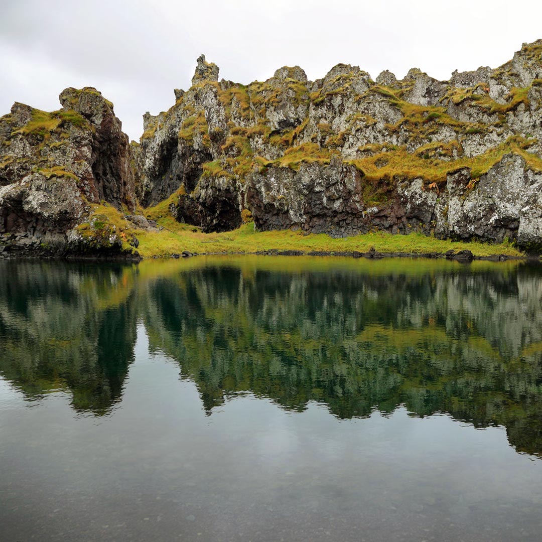
Hiking
Many Icelanders consider the hiking of Snæfellsnes unrivaled, calling the region their favorite place in the country. Why? Snæfellsnes has it all. There are mountains to climb, lava fields to explore, and glaciers to scale, all accessible by countless hiking trails with varying degrees of difficulty. Specific information on trails can be found at the park’s visitors center.
Feel free to roam and take in the sights. Whether you head out alone, with a small group, or with a tour, always go out for a hike prepared: Check the weather forecast, bring proper gear and drinking water, and let people know your whereabouts.
Rauðhóll
Distance: 2.3-km (1.4-mi) loop; Hiking Time: 45 minutes; Information and Maps: www.west.is; Trailhead: Unnumbered road off Route 570
Rauðhóll is a leisurely hike within the park, which takes hikers around a vast, jagged lava field and a treeless plain, giving unobstructed views of the glacier looming in the distance. The 2.3-km (1.4-mi) loop hike is easy, on relatively flat ground, and takes about 45 minutes. The landscape is filled with moss and lichen-covered lava stones and lava tubes, where lava once flowed out of the volcano.
Coming from Hellissandur, you’ll find the hiking path down an unnumbered road off of Route 570, which is unpaved but no longer an F-road; look for a sign that says “Eysteinsdalur Snæfellsjökull” and turn left. On the south side of the road is a signpost for the Rauðhóll trail, and red stakes along the path mark the way.
Lóndrangar
Distance: 1 km (0.6 mi); Hiking Time: 30 minutes; Information and Maps: www.west.is; Trailhead: Parking area off Route 574, 25 minutes(28 km/17 mi) from Hellissandur
From the parking area, set off on the marked path called Þufubjarg. It’s an easy path and a quick walk to the seaside cliffs, which are the remains of a crater eroded by the ocean. You have sweeping views of the beach and of the two stacks, which are flush with birdlife in the summer months.
Guided Tours
Arctic Adventures
tel. 354/562-7000; www.adventures.is; Mar.-Oct.; 22,000ISK
Snæfellsjökull, rising 1,446 m (4,744 ft) from the western tip of the Snæfellsnes Peninsula, offers gorgeous views during a challenging trek, on which you can embark with a guided tour (this hike isn’t recommended as an independent trek). The adventure starts and ends at the small fishing village of Arnarstapi, off Route 54 down Útnesvegur. Arctic Adventures takes you to the Jökulháls pass, where you’ll start your hike toward the summit of the glacier. The first part of the hike is over volcanic rock, but as you climb, the snow and ice increase, and crampons become necessary near the top. The hike is 7-8 km (4.3-5 mi), with a total elevation gain of 760 m (2,494 ft), and it takes 3-5 hours, depending on the conditions and weather.
Remember to bring warm outdoor clothing, a waterproof jacket and pants, a hat, and gloves. Good hiking shoes are essential on this tour. Waterproof outerwear and sturdy hiking shoes can be rented from the tour company with advance notice.
Reykjavík Excursions
tel. 354/580-5400; www.re.is
If you’re after other structured, guided tours, some companies offer excursions. Check out Reykjavík Excursions for a list, including a 12-hour Wonders of Snæfellsnes tour year-round from Reykjavík that visits Snæfellsjökull glacier, sandy beaches, craters, and fishing villages (adults 19,999ISK, ages 12-15 10,000ISK, under age 12 free).
Food and Accommodations
Guesthouse Langaholt
Ytri-Garðar Staðarsveit; tel. 354/435-6789; www.langaholt.is; from 27,000ISK
Guesthouse Langaholt is a 20-room family-run guesthouse with spacious rooms, classic decor, free Wi-Fi, and a shared terrace. Amenities include an on-site restaurant, a nearby golf course, plenty of free parking, and on-site camping facilities for budget travelers.
Fosshotel Hellnar
Brekkubær; tel. 354/435-6820; www.islandshotel.is; May-Oct.; from 35,000ISK
Fosshotel Hellnar is a beautiful 39-room country hotel that takes pride in the small things. Guests can find fresh flowers throughout the hotel, and warm staff. Each room has a private bath, a comfortable bed, and a TV. The splendid in-house restaurant (8am-9pm daily; entrées from 3,200ISK), open for breakfast, lunch, and dinner in summer, uses fresh organic ingredients with lots of fish and meat options, along with options for vegetarians.
Hótel Búðir
Búðir; tel. 354/435-6700; www.hotelbudir.is; from 55,000ISK
Guests at Hótel Búðir are treated to a comfortable stay with spectacular views of the Snæfellsjökull glacier. The 20-room boutique hotel features clean and cozy rooms with private baths. The hotel’s top-notch breakfast is included in the rates. It frequently hosts weddings and conferences. The restaurant (8am-9pm daily; entrées from 4,590ISK) features Icelandic staples like fresh cod and lamb dishes, but the chef likes to mix up the menu selections depending on the season. Expect shellfish on the menu. The food is fresh, elegant, and memorable. The hotel is 27 km (17 mi) southeast of Ólafsvík on Route 54.
Information and Services
Snæfellsjökull National Park Visitors Center
Malarrif; tel. 354/436-6888; 10am-5pm daily mid-May-mid-Sept., noon-4pm daily mid-Sept.-mid-May
The Snæfellsjökull National Park visitors center gives an overview of the history, flora, fauna, and geology of the park. The center also provides information on hiking paths and the wildlife that can be seen in the park.
Getting There
Snæfellsjökull National Park can be reached by Route 574, which spans the perimeter of the park along the coastline. A regular two-wheel-drive car will be fine on the unpaved road, but it’s not feasible for cyclists. The park is 197 km (122 mi) from Reykjavík, about three hours via Route 1 to Route 574. Tour companies such as Reykjavík Excursions (tel. 354/580-5400; www.re.is) include stops at Snæfellsjökull.
Plan your trip:
Pin It for Later


The Snæfellsjökull glacier became world famous after author Jules Verne described it as the starting point for the titular journey in Journey to the Center of the Earth. There is plenty to explore in Snæfellsjökull National Park, such as beaches, cliffs, and views of the glacier. Take some time, wear comfortable yet sturdy footwear, and bring your camera. Plan at least two days in the region.

Sights
Arnarstapi Cliffs
Arnarstapavegur, off Route 574
The seaside cliffs in the small fishing town of Arnarstapi, at the gateway to Snæfellsjökull National Park, are spectacular, with basalt formations including holes and arches carved out by surf. The cliffs are a nesting ground for the arctic tern, and you’ll love taking photos with a huge stone statue of Bárður Snæfellsás with its back to the ocean not far from the parking lot. Easy paths weave through the cliff-side area, making it a lovely place to spend 45 minutes or so.
Hellnar Cliffs
Route 5730, off Route 574
Continuing just a few kilometers west down Route 574 from the Arnarstapi Cliffs, Hellnar is another small fishing village with beautiful seaside rock formations. A 4-km (2.5-mi) walking path connects the two cliff areas.

Lóndrangar Cliffs
parking area off Route 574
Yet another place to stop and have your breath taken away overlooking seaside cliffs, farther west on Route 574 from Arnarstapi and Hellnar, are the basalt cliffs, the vast remains of a crater eroded by the sea. Two stacks, 75 m (246 ft) and 61 m (200 ft) tall, are visible, home to puffins and fulmars in the summer.
Snæfellsjökull Glacier
near route 574
The Snæfellsjökull glacier lies on top of a volcano, situated in the center of the national park. The glacier’s peak is 1,446 m (4,774 ft) high, and it can be seen from Reykjavík on a clear day. The volcano is considered active, though the last eruption occurred 1,900 years ago. It takes center stage in the 1864 literary classic Journey to the Center of the Earth by Jules Verne, which chooses the summit of Snæfellsjökull as the setting of a fictional passage to the center of the earth.
Travelers can explore the area around the glacier but should not venture onto the glacier without a guide, as it can be dangerous. Plan to spend 1-2 hours here to walk the area, take photos, and enjoy the surroundings.
It’s about 190 km (118 mi) from Reykjavík to the Snæfellsjökull glacier; the drive takes about 2.5 hours. From Reykjavík, take Route 1 north through the town of Borgarnes and then turn left onto Route 54. Head west on Route 54 across the peninsula for about 98 km (61 mi), connecting to Route 574. Continue west on Route 574 for about 35 km (22 mi). You’ll find the road leading up to the volcano on the right side, and signs are posted all the way up to a parking lot. It’s essentially an enormous mountain with an ice cap. Given its literary history, many people like to visit the area and get a view of the volcano. Be sure to check the forecast before heading out, and be advised that roads leading to the volcano are unpaved.
Vatnshellir Lava Cave
near Route 574
The Vatnshellir lava cave, opened to the public in 2011, is another highlight. Scientists believe the 200-m-long (656-ft) cave was created in an eruption 6,000-8,000 years ago. The cave has two main sections: the upper section, which showcases unique lava formations that are curved on the sides of the lava tube, and the lower part, which can be reached by a long and narrow but well-maintained staircase, and takes visitors about 35 m (115 ft) underground to a place hidden from the outside world for thousands of years.
The cave is accessible only through a guided tour from Summit Guides (tel. 354/787-0001; www.summitguides.is; 45-minute tours adults 5,400ISK, students and seniors 4,200ISK, ages 12-17 2,400ISK, ages 3-11 free). Visitors are required to have hiking boots, gloves, and warm clothing. The tour guide provides helmets and flashlights. The Vatnshellir cave is located in the southern end of the park, near Route 574.
Djúpalónssandur Beach and Dritvík Cove
near Route 574, GPS coordinates N 64.7493, W 23.9122
Djúpalónssandur beach, on the southwestern edge of the Snæfellsnes Peninsula, is one of the region’s highlights. The vast beach is covered by small black stones that were shaped by the force of the tides and the whipping of the wind. Visitors love to wander among the frozen lava landscapes and the interesting rock formations. A short paved road through lava fields leads directly from Route 574 to Djúpalónssandur beach.
From Djúpalónssandur, you can access Dritvík Cove via an easy hike. You’ll see the remains of fishing huts in the cliffs above the beach.

Hiking
Many Icelanders consider the hiking of Snæfellsnes unrivaled, calling the region their favorite place in the country. Why? Snæfellsnes has it all. There are mountains to climb, lava fields to explore, and glaciers to scale, all accessible by countless hiking trails with varying degrees of difficulty. Specific information on trails can be found at the park’s visitors center.
Feel free to roam and take in the sights. Whether you head out alone, with a small group, or with a tour, always go out for a hike prepared: Check the weather forecast, bring proper gear and drinking water, and let people know your whereabouts.
Rauðhóll
Distance: 2.3-km (1.4-mi) loop; Hiking Time: 45 minutes; Information and Maps: www.west.is; Trailhead: Unnumbered road off Route 570
Rauðhóll is a leisurely hike within the park, which takes hikers around a vast, jagged lava field and a treeless plain, giving unobstructed views of the glacier looming in the distance. The 2.3-km (1.4-mi) loop hike is easy, on relatively flat ground, and takes about 45 minutes. The landscape is filled with moss and lichen-covered lava stones and lava tubes, where lava once flowed out of the volcano.
Coming from Hellissandur, you’ll find the hiking path down an unnumbered road off of Route 570, which is unpaved but no longer an F-road; look for a sign that says “Eysteinsdalur Snæfellsjökull” and turn left. On the south side of the road is a signpost for the Rauðhóll trail, and red stakes along the path mark the way.
Lóndrangar
Distance: 1 km (0.6 mi); Hiking Time: 30 minutes; Information and Maps: www.west.is; Trailhead: Parking area off Route 574, 25 minutes(28 km/17 mi) from Hellissandur
From the parking area, set off on the marked path called Þufubjarg. It’s an easy path and a quick walk to the seaside cliffs, which are the remains of a crater eroded by the ocean. You have sweeping views of the beach and of the two stacks, which are flush with birdlife in the summer months.
Guided Tours
Arctic Adventures
tel. 354/562-7000; www.adventures.is; Mar.-Oct.; 22,000ISK
Snæfellsjökull, rising 1,446 m (4,744 ft) from the western tip of the Snæfellsnes Peninsula, offers gorgeous views during a challenging trek, on which you can embark with a guided tour (this hike isn’t recommended as an independent trek). The adventure starts and ends at the small fishing village of Arnarstapi, off Route 54 down Útnesvegur. Arctic Adventures takes you to the Jökulháls pass, where you’ll start your hike toward the summit of the glacier. The first part of the hike is over volcanic rock, but as you climb, the snow and ice increase, and crampons become necessary near the top. The hike is 7-8 km (4.3-5 mi), with a total elevation gain of 760 m (2,494 ft), and it takes 3-5 hours, depending on the conditions and weather.
Remember to bring warm outdoor clothing, a waterproof jacket and pants, a hat, and gloves. Good hiking shoes are essential on this tour. Waterproof outerwear and sturdy hiking shoes can be rented from the tour company with advance notice.
Reykjavík Excursions
tel. 354/580-5400; www.re.is
If you’re after other structured, guided tours, some companies offer excursions. Check out Reykjavík Excursions for a list, including a 12-hour Wonders of Snæfellsnes tour year-round from Reykjavík that visits Snæfellsjökull glacier, sandy beaches, craters, and fishing villages (adults 19,999ISK, ages 12-15 10,000ISK, under age 12 free).
Food and Accommodations
Guesthouse Langaholt
Ytri-Garðar Staðarsveit; tel. 354/435-6789; www.langaholt.is; from 27,000ISK
Guesthouse Langaholt is a 20-room family-run guesthouse with spacious rooms, classic decor, free Wi-Fi, and a shared terrace. Amenities include an on-site restaurant, a nearby golf course, plenty of free parking, and on-site camping facilities for budget travelers.
Fosshotel Hellnar
Brekkubær; tel. 354/435-6820; www.islandshotel.is; May-Oct.; from 35,000ISK
Fosshotel Hellnar is a beautiful 39-room country hotel that takes pride in the small things. Guests can find fresh flowers throughout the hotel, and warm staff. Each room has a private bath, a comfortable bed, and a TV. The splendid in-house restaurant (8am-9pm daily; entrées from 3,200ISK), open for breakfast, lunch, and dinner in summer, uses fresh organic ingredients with lots of fish and meat options, along with options for vegetarians.
Hótel Búðir
Búðir; tel. 354/435-6700; www.hotelbudir.is; from 55,000ISK
Guests at Hótel Búðir are treated to a comfortable stay with spectacular views of the Snæfellsjökull glacier. The 20-room boutique hotel features clean and cozy rooms with private baths. The hotel’s top-notch breakfast is included in the rates. It frequently hosts weddings and conferences. The restaurant (8am-9pm daily; entrées from 4,590ISK) features Icelandic staples like fresh cod and lamb dishes, but the chef likes to mix up the menu selections depending on the season. Expect shellfish on the menu. The food is fresh, elegant, and memorable. The hotel is 27 km (17 mi) southeast of Ólafsvík on Route 54.
Information and Services
Snæfellsjökull National Park Visitors Center
Malarrif; tel. 354/436-6888; 10am-5pm daily mid-May-mid-Sept., noon-4pm daily mid-Sept.-mid-May
The Snæfellsjökull National Park visitors center gives an overview of the history, flora, fauna, and geology of the park. The center also provides information on hiking paths and the wildlife that can be seen in the park.
Getting There
Snæfellsjökull National Park can be reached by Route 574, which spans the perimeter of the park along the coastline. A regular two-wheel-drive car will be fine on the unpaved road, but it’s not feasible for cyclists. The park is 197 km (122 mi) from Reykjavík, about three hours via Route 1 to Route 574. Tour companies such as Reykjavík Excursions (tel. 354/580-5400; www.re.is) include stops at Snæfellsjökull.
Plan your trip:
Pin It for Later


Reykjavík may be small, but its nightlife is epic. The main drag, Laugavegur, is ground zero for the hottest clubs and bars in town. If you are up for dancing, Kiki Queer Bar is your spot. If you fancy a whiskey bar, Dillon is the place. If you want to catch a hot Reykjavík band performing live, Gaukurinn is your best bet.
Be prepared for it to be a late night and for your wallet to take a hit. Locals don’t venture out until around midnight, and drinks are expensive—expect to pay upward of 1,200ISK for a pint of beer and 2,500ISK for a cocktail. Because mixed drinks are so expensive, cocktail bars are scarce, and beer is the favored beverage. But for such a small city, you can’t help but be impressed by the number of hot spots catering to different genres. Your biggest challenge will be narrowing down your options!
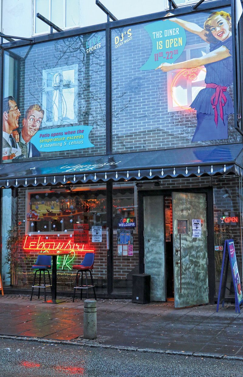
Bars
Hressingarskálinn
Austurstræti 22; tel. 354/561-2240; 8am-10pm daily
Hressingarskálinn, simply known as Hresso, is a casual restaurant serving hamburgers and sandwiches by day. Free Wi-Fi attracts writers, visitors, and locals, who are known to spend hours sipping endless cups of coffee. By night, Hresso transforms into a dance club, with hot DJs and live bands. Expect trendy dance music.
Kaldi
Laugavegur 20b; tel. 354/581-2200; noon-1am Sun.- Thurs., noon-3am Fri.-Sat.
Kaldi has a very warm, relaxed atmosphere with cozy seating and four types of Kaldi beer from Kaldi brewery on tap. There is a piano on-site and sometimes there is live music. If you are looking for a quiet place for a beer or two, stop by here before 10pm.
Röntgen
Hverfisgata 12; www.rontgenbar.is; 4pm-1am Sun.-Thurs., 4pm-3am Fri.-Sat.
Röntgen opened at the end of 2019 and quickly became a favorite hangout among the locals. In fact, the magazine Reykjavík Grapevine named it the “best goddamn bar” in recent years. They have a good selection of beer and wine, as well as cocktails, and hold pub quizzes, karaoke nights, and concerts.
Lebowski Bar
Laugavegur 20; tel. 354/552-2300; www.lebowski.is; 11:30am-1am Sun.-Thurs., 11:30am-4am Fri.-Sat.
Lebowski Bar pays not-so-subtle homage to the Coen brothers movie The Big Lebowski. Inside, there is bowling paraphernalia, posters from the film, and even a hanging rug by the bar that brings the room together. It’s a casual eatery during the day, like many of Reykjavík’s bars, but at night it transforms into a pretty wild scene, playing the latest dance music. There’s a dance floor in the back of the room. A White Russian, the cocktail famously featured in the film, costs 1,850ISK.
The English Pub
Austurstræti 12b; tel. 354/578-0400; www.enskibarinn.is; noon-1am Mon.-Fri., noon-4:30am Sat.-Sun.
The English Pub is part English pub, part sports bar. There’s a nice selection of Icelandic and foreign beer, and Guinness is on tap. If there’s a soccer game being played anywhere in the world, it will likely be shown on one of the many screens in the bar. If there’s a Premier League game on, expect a crowd of expats, visitors, and locals.
Kaffibarinn
Bergstaðastræti 1; tel. 354/551-1588; 5pm-1am Sun.- Thurs., 3pm-3am Fri.-Sat.
Kaffibarinn has been a Reykjavík institution since scenes from the indie film 101 Reykjavík were filmed here. Damon Albarn, the Blur and Gorillaz front man, used to own a stake in the bar. It’s a tiny space with a rich red exterior, and it gets jam-packed during the weekends, but it’s one of those places that it’s cool to say you were there. Expect trendy dance music to be blaring as you enter.
Veður
Klapparstígur 33; www.vedurbarinn.is; 2pm-1am Sun.-Thurs., 2pm-3am Fri.-Sat.
Veður, which means “weather” in Icelandic, is a chic bar popular for happy hour and a casual drink with friends. On nice days there are tables and chairs outside so patrons can enjoy the sun. In addition to beer, wine, and cocktails, Veður serves charcuterie plates, cheese, and olives, as well as coffee drinks and pastries.
22 Bar
Laugavegur 22; tel. 354/580-8020; 11am-1am Sun.-Thurs., 11am-4:30am Fri.-Sat.
Located downstairs from Kiki Queer Bar, 22 Bar is a place to chill, have a cold beer, and meet with friends. There is a casual vibe, and at night local DJs routinely play, attracting a younger crowd.
Micro Bar
Laugavegur 86; tel. 354/893-5960; 3pm-midnight Sun.- Thurs., 3pm-1am Fri.-Sat.
Micro Bar is a beer lover’s paradise. The bar carries about 80 different beers from countries including Belgium, Germany, Denmark, and the United States. The big draws are the wide selection of Icelandic beers on tap and the number of Icelandic craft beers available. Stop by and try a local stout, pale ale, or lager. The atmosphere is relaxed and relatively quiet, with dim lighting and a large wood bar. You’ll find locals at the tables enjoying a beer and conversation with friends.
LGBTQ+
Kiki Queer Bar
Laugavegur 22; tel. 354/571-0194; www.kiki.is; 8pm-1am Thurs., 8pm-4:30am Fri.-Sat.
Kiki Queer Bar is Reykjavík’s only LGBTQ+ bar and is a welcome addition to the scene. Many locals will tell you this is the place to go to dance because it attracts some of the best local and visiting DJs. You can expect music ranging from Lady Gaga to the latest Icelandic pop music.
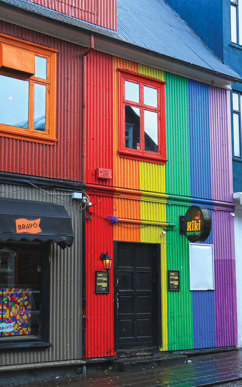
Live Music
Loft Hostel
Bankastræti 7; tel. 354/553-8140
Loft Hostel has earned a reputation as a place to see and be seen. The 4th-floor bar and café hosts up-and-coming bands, established live acts, and DJs. An outdoor deck overlooks Bankastræti and is packed with locals and visitors alike when the sun is shining, and filled with mingling concertgoers at night. Since this is a hostel, it’s open 24 hours, so check listings at www.grapevine.is for concert and event times.
Mengi
Óðinsgata 2; tel. 354/588-3644; www.mengi.net; 7:30pm-10pm Thurs.-Sat.
Mengi is an exciting music and art space that showcases up-and-coming and established artists. The room holds no more than 100, so performances are intimate, making this a unique space in Reykjavík. You can see experimental musicians like Ben Frost and dj. flugvél og geimskip, or Icelandic favorites like Ólafur Arnalds and Högni Egilsson. There is also a small shop inside where you can pick up CDs, vinyl records, and art prints.
Gaukurinn
Tryggvagata 22; www.gaukurinn.is; 5pm-1am Sun.-Thurs., 5pm-3am Fri.-Sat.
Gaukurinn is the place to go for live events—concerts, karaoke, drag shows, it’s all here. Expect high energy, cold drinks, loud music, and a lot of fun.
Pin It for Later


Reykjavík may be small, but its nightlife is epic. The main drag, Laugavegur, is ground zero for the hottest clubs and bars in town. If you are up for dancing, Kiki Queer Bar is your spot. If you fancy a whiskey bar, Dillon is the place. If you want to catch a hot Reykjavík band performing live, Gaukurinn is your best bet.
Be prepared for it to be a late night and for your wallet to take a hit. Locals don’t venture out until around midnight, and drinks are expensive—expect to pay upward of 1,200ISK for a pint of beer and 2,500ISK for a cocktail. Because mixed drinks are so expensive, cocktail bars are scarce, and beer is the favored beverage. But for such a small city, you can’t help but be impressed by the number of hot spots catering to different genres. Your biggest challenge will be narrowing down your options!

Bars
Hressingarskálinn
Austurstræti 22; tel. 354/561-2240; 8am-10pm daily
Hressingarskálinn, simply known as Hresso, is a casual restaurant serving hamburgers and sandwiches by day. Free Wi-Fi attracts writers, visitors, and locals, who are known to spend hours sipping endless cups of coffee. By night, Hresso transforms into a dance club, with hot DJs and live bands. Expect trendy dance music.
Kaldi
Laugavegur 20b; tel. 354/581-2200; noon-1am Sun.- Thurs., noon-3am Fri.-Sat.
Kaldi has a very warm, relaxed atmosphere with cozy seating and four types of Kaldi beer from Kaldi brewery on tap. There is a piano on-site and sometimes there is live music. If you are looking for a quiet place for a beer or two, stop by here before 10pm.
Röntgen
Hverfisgata 12; www.rontgenbar.is; 4pm-1am Sun.-Thurs., 4pm-3am Fri.-Sat.
Röntgen opened at the end of 2019 and quickly became a favorite hangout among the locals. In fact, the magazine Reykjavík Grapevine named it the “best goddamn bar” in recent years. They have a good selection of beer and wine, as well as cocktails, and hold pub quizzes, karaoke nights, and concerts.
Lebowski Bar
Laugavegur 20; tel. 354/552-2300; www.lebowski.is; 11:30am-1am Sun.-Thurs., 11:30am-4am Fri.-Sat.
Lebowski Bar pays not-so-subtle homage to the Coen brothers movie The Big Lebowski. Inside, there is bowling paraphernalia, posters from the film, and even a hanging rug by the bar that brings the room together. It’s a casual eatery during the day, like many of Reykjavík’s bars, but at night it transforms into a pretty wild scene, playing the latest dance music. There’s a dance floor in the back of the room. A White Russian, the cocktail famously featured in the film, costs 1,850ISK.
The English Pub
Austurstræti 12b; tel. 354/578-0400; www.enskibarinn.is; noon-1am Mon.-Fri., noon-4:30am Sat.-Sun.
The English Pub is part English pub, part sports bar. There’s a nice selection of Icelandic and foreign beer, and Guinness is on tap. If there’s a soccer game being played anywhere in the world, it will likely be shown on one of the many screens in the bar. If there’s a Premier League game on, expect a crowd of expats, visitors, and locals.
Kaffibarinn
Bergstaðastræti 1; tel. 354/551-1588; 5pm-1am Sun.- Thurs., 3pm-3am Fri.-Sat.
Kaffibarinn has been a Reykjavík institution since scenes from the indie film 101 Reykjavík were filmed here. Damon Albarn, the Blur and Gorillaz front man, used to own a stake in the bar. It’s a tiny space with a rich red exterior, and it gets jam-packed during the weekends, but it’s one of those places that it’s cool to say you were there. Expect trendy dance music to be blaring as you enter.
Veður
Klapparstígur 33; www.vedurbarinn.is; 2pm-1am Sun.-Thurs., 2pm-3am Fri.-Sat.
Veður, which means “weather” in Icelandic, is a chic bar popular for happy hour and a casual drink with friends. On nice days there are tables and chairs outside so patrons can enjoy the sun. In addition to beer, wine, and cocktails, Veður serves charcuterie plates, cheese, and olives, as well as coffee drinks and pastries.
22 Bar
Laugavegur 22; tel. 354/580-8020; 11am-1am Sun.-Thurs., 11am-4:30am Fri.-Sat.
Located downstairs from Kiki Queer Bar, 22 Bar is a place to chill, have a cold beer, and meet with friends. There is a casual vibe, and at night local DJs routinely play, attracting a younger crowd.
Micro Bar
Laugavegur 86; tel. 354/893-5960; 3pm-midnight Sun.- Thurs., 3pm-1am Fri.-Sat.
Micro Bar is a beer lover’s paradise. The bar carries about 80 different beers from countries including Belgium, Germany, Denmark, and the United States. The big draws are the wide selection of Icelandic beers on tap and the number of Icelandic craft beers available. Stop by and try a local stout, pale ale, or lager. The atmosphere is relaxed and relatively quiet, with dim lighting and a large wood bar. You’ll find locals at the tables enjoying a beer and conversation with friends.
LGBTQ+
Kiki Queer Bar
Laugavegur 22; tel. 354/571-0194; www.kiki.is; 8pm-1am Thurs., 8pm-4:30am Fri.-Sat.
Kiki Queer Bar is Reykjavík’s only LGBTQ+ bar and is a welcome addition to the scene. Many locals will tell you this is the place to go to dance because it attracts some of the best local and visiting DJs. You can expect music ranging from Lady Gaga to the latest Icelandic pop music.

Live Music
Loft Hostel
Bankastræti 7; tel. 354/553-8140
Loft Hostel has earned a reputation as a place to see and be seen. The 4th-floor bar and café hosts up-and-coming bands, established live acts, and DJs. An outdoor deck overlooks Bankastræti and is packed with locals and visitors alike when the sun is shining, and filled with mingling concertgoers at night. Since this is a hostel, it’s open 24 hours, so check listings at www.grapevine.is for concert and event times.
Mengi
Óðinsgata 2; tel. 354/588-3644; www.mengi.net; 7:30pm-10pm Thurs.-Sat.
Mengi is an exciting music and art space that showcases up-and-coming and established artists. The room holds no more than 100, so performances are intimate, making this a unique space in Reykjavík. You can see experimental musicians like Ben Frost and dj. flugvél og geimskip, or Icelandic favorites like Ólafur Arnalds and Högni Egilsson. There is also a small shop inside where you can pick up CDs, vinyl records, and art prints.
Gaukurinn
Tryggvagata 22; www.gaukurinn.is; 5pm-1am Sun.-Thurs., 5pm-3am Fri.-Sat.
Gaukurinn is the place to go for live events—concerts, karaoke, drag shows, it’s all here. Expect high energy, cold drinks, loud music, and a lot of fun.
Pin It for Later

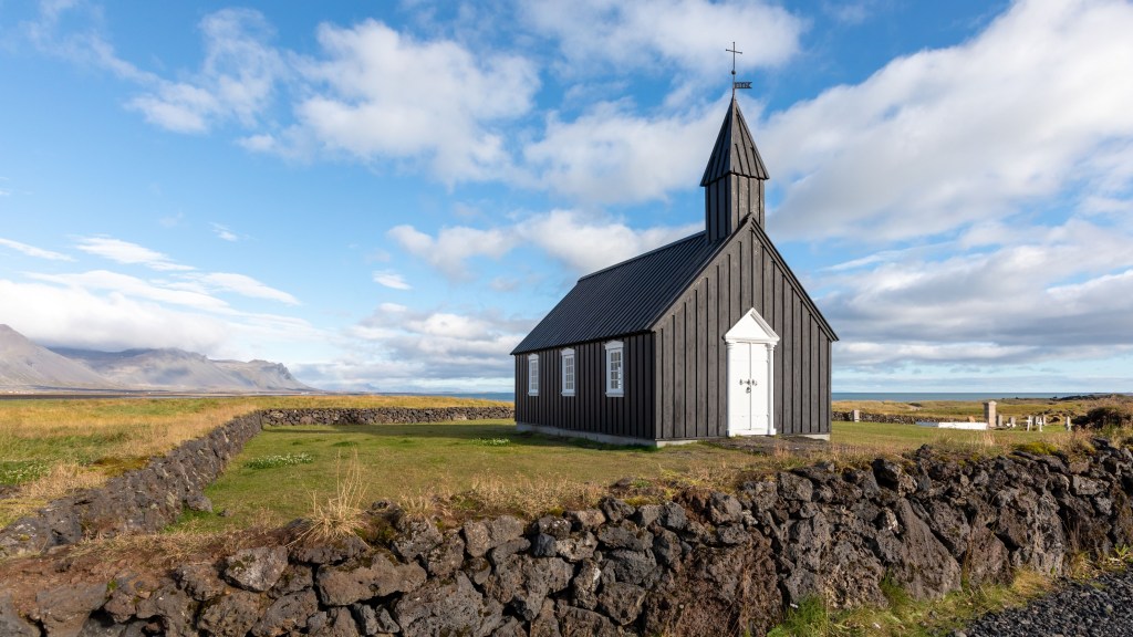
Iceland is proud of its people and its culture, and works hard to preserve its heritage in both language and the arts. While the country is physically isolated, Icelanders welcome visitors and immigrants. The capital city, Reykjavík, is in particular known as an international city.
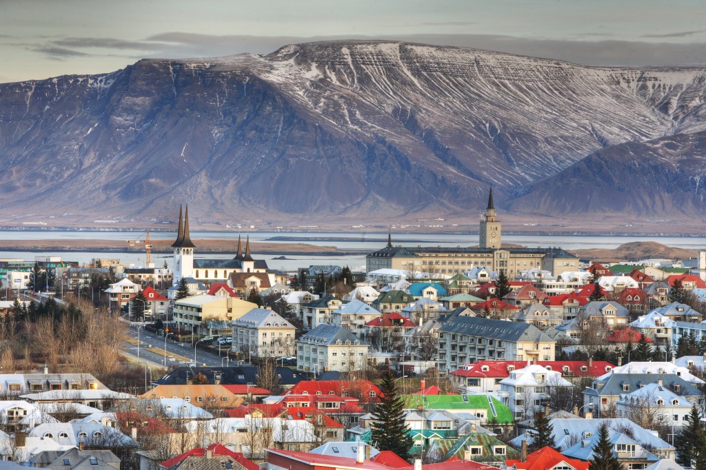
Population
Roughly 400,000 people call Iceland home, and more than two-thirds live in the capital city, Reykjavík, and its suburbs. Outside Reykjavík, Hafnarfjörður, and Kópavogur, the most populated towns in Iceland include Keflavík and Selfoss in the south, Akureyri in the north, Akranes and Borgarnes in the west, and Höfn and Egilsstaðir in the east. About 85 percent of the island’s population are native Icelanders, but the foreign-born population continues to grow with the inflow of migrant workers, asylum seekers, and refugees.
Native Icelanders have a genetic makeup that combines Celtic and Norse heritage, and many Icelanders consider themselves Nordic rather than Scandinavian. Social lives center on family, as Icelanders tend to be a close-knit bunch. It often seems like all Icelandic people either know one another or have friends in common.
Language
The official language of Iceland is Icelandic, which is considered a Germanic language. Icelanders like to think of their language as poetic and musical, and maintaining their tongue is an important part of Icelandic culture. Most Icelanders speak English and are happy to converse with visitors in English, but they enjoy when foreigners give the language a try, even just a few words. The closest language to Icelandic is Faroese, which roughly 50,000 people speak, and the other close language spoken by a larger group is Norwegian. Many Icelanders can understand Norwegian, Swedish, and Danish due to the similarities. Learning Icelandic is a challenge for many foreigners because of the complex grammar and accent.
Icelandic Names
Iceland has a strident naming committee that must approve names parents wish to give their newborns, in the spirit of maintaining Icelandic culture. For that reason, you will find a lot of common first names, including Bjorn, Jón, Ólafur, Guðmundur, and Magnús for males, and Guðrun, Sara, and Anna for females. Very few Icelanders have surnames; instead, Iceland follows a patronymic system in which children are given their father’s first name followed by -son or -dottir. If a man named Einar has a son named Johannes and a daughter named Anna, their names will be Johannes Einarsson and Anna Einarsdottir.
Religion

Icelanders have an interesting relationship with religion. Most of the country, about 60 percent, identifies as Lutheran, but most Icelanders aren’t known to attend church regularly or be very vocal about their religious beliefs. While the majority of the country identifies as Christian, Iceland is considered a progressive nation. There is no separation of church and state in Iceland; the National Church of Iceland is subsidized by Icelanders through a church tax. However, the nonreligious can choose to have their church tax donated to designated charities.
Of Iceland’s religious minorities, Roman Catholics are the largest group at about 4 percent, and there are an estimated 3,000 Muslims that call Iceland home, as well as about 300 Jews. There is not a single synagogue in Iceland, as the Jewish population has not requested one, but a rabbi relocated from New York to Reykjavík with his wife and children in 2018. A mosque was approved by Reykjavík in 2014, and construction is ongoing as of 2024. The pagan Norse religion Ásatrúarfélagið has grown in membership in recent years to about 5,000 adherents.
Arts
Music
Music plays an important role in Icelandic society. There’s an emphasis on children learning to play instruments, with music schools around the country. It seems that everyone in Iceland is in at least one band. The earliest Icelandic music is called rímur, which is a sort of chanting style of singing that can include lyrics ranging from religious themes to descriptions of nature. Choirs are also very common in Iceland, and there are frequent performances in schools and churches that are usually well attended by the community.
As for modern music, Iceland boasts quite a few bands that have gained a following abroad. Of course, there’s Björk, who put Iceland on the musical map back in the 1980s
with her band The Sugarcubes and later her solo career. Icelanders tend to be quite proud of Björk as both an artist and an environmentalist. Sigur Rós, who have been recording since 1994, have become an indie favorite. Laufey, Of Monsters and Men, Kaleo, Ólafur Arnalds, Amiina, and GusGus are taking the world by storm. Reykjavík has cool venues in which to check out local bands and DJs, and some great record shops to pick up the newest and latest Icelandic releases.
Literature
Iceland has a rich literary history. The sagas, considered the best-known examples of Icelandic literature, are stories in prose describing events that took place in Iceland in the 10th-11th centuries, during the so-called Saga Age. Focused on history, especially genealogical and family history, the sagas reflect the conflicts that arose within the societies of the second and third generations of Icelandic settlers. The authors of the sagas are unknown; Egil’s Saga is believed to have been written by Snorri Sturluson, a 13th-century descendant of the saga’s hero, but this remains uncertain. Widely read in school, the sagas are celebrated as an important part of Iceland’s history.
The nation’s most celebrated author is Halldór Laxness, who won a Nobel Prize for Literature in 1951 for his cherished novel Independent People. His tales have been translated into several languages and center on themes near and dear to Icelanders—nature, love, travel, and adventure. Other authors who have been translated into English and other languages include Sjón, Arnaldur Indriðason, and Einar Már Guðmundsson.
Knitting
Icelanders have been knitting for centuries, and it remains a common hobby today. Wool from Icelandic sheep has been keeping Icelanders warm for generations, and a traditional modern sweater design emerged in the 1950s or so in the form of the lopapeysa. A lopapeysa has a distinctive yoke design around the neck opening, and the sweater comes in a variety of colors, with the most common being brown, gray, black, and off-white. Icelanders knit with lopi yarn, which contains both hairs and fleece of Icelandic sheep. The yarn is not spun, making it more difficult to work with than spun yarn, but the texture and insulation are unmistakable.
Plan your trip:
Build your Europe travel bucket list
Pin It for Later


Iceland is proud of its people and its culture, and works hard to preserve its heritage in both language and the arts. While the country is physically isolated, Icelanders welcome visitors and immigrants. The capital city, Reykjavík, is in particular known as an international city.

Population
Roughly 400,000 people call Iceland home, and more than two-thirds live in the capital city, Reykjavík, and its suburbs. Outside Reykjavík, Hafnarfjörður, and Kópavogur, the most populated towns in Iceland include Keflavík and Selfoss in the south, Akureyri in the north, Akranes and Borgarnes in the west, and Höfn and Egilsstaðir in the east. About 85 percent of the island’s population are native Icelanders, but the foreign-born population continues to grow with the inflow of migrant workers, asylum seekers, and refugees.
Native Icelanders have a genetic makeup that combines Celtic and Norse heritage, and many Icelanders consider themselves Nordic rather than Scandinavian. Social lives center on family, as Icelanders tend to be a close-knit bunch. It often seems like all Icelandic people either know one another or have friends in common.
Language
The official language of Iceland is Icelandic, which is considered a Germanic language. Icelanders like to think of their language as poetic and musical, and maintaining their tongue is an important part of Icelandic culture. Most Icelanders speak English and are happy to converse with visitors in English, but they enjoy when foreigners give the language a try, even just a few words. The closest language to Icelandic is Faroese, which roughly 50,000 people speak, and the other close language spoken by a larger group is Norwegian. Many Icelanders can understand Norwegian, Swedish, and Danish due to the similarities. Learning Icelandic is a challenge for many foreigners because of the complex grammar and accent.
Icelandic Names
Iceland has a strident naming committee that must approve names parents wish to give their newborns, in the spirit of maintaining Icelandic culture. For that reason, you will find a lot of common first names, including Bjorn, Jón, Ólafur, Guðmundur, and Magnús for males, and Guðrun, Sara, and Anna for females. Very few Icelanders have surnames; instead, Iceland follows a patronymic system in which children are given their father’s first name followed by -son or -dottir. If a man named Einar has a son named Johannes and a daughter named Anna, their names will be Johannes Einarsson and Anna Einarsdottir.
Religion

Icelanders have an interesting relationship with religion. Most of the country, about 60 percent, identifies as Lutheran, but most Icelanders aren’t known to attend church regularly or be very vocal about their religious beliefs. While the majority of the country identifies as Christian, Iceland is considered a progressive nation. There is no separation of church and state in Iceland; the National Church of Iceland is subsidized by Icelanders through a church tax. However, the nonreligious can choose to have their church tax donated to designated charities.
Of Iceland’s religious minorities, Roman Catholics are the largest group at about 4 percent, and there are an estimated 3,000 Muslims that call Iceland home, as well as about 300 Jews. There is not a single synagogue in Iceland, as the Jewish population has not requested one, but a rabbi relocated from New York to Reykjavík with his wife and children in 2018. A mosque was approved by Reykjavík in 2014, and construction is ongoing as of 2024. The pagan Norse religion Ásatrúarfélagið has grown in membership in recent years to about 5,000 adherents.
Arts
Music
Music plays an important role in Icelandic society. There’s an emphasis on children learning to play instruments, with music schools around the country. It seems that everyone in Iceland is in at least one band. The earliest Icelandic music is called rímur, which is a sort of chanting style of singing that can include lyrics ranging from religious themes to descriptions of nature. Choirs are also very common in Iceland, and there are frequent performances in schools and churches that are usually well attended by the community.
As for modern music, Iceland boasts quite a few bands that have gained a following abroad. Of course, there’s Björk, who put Iceland on the musical map back in the 1980s
with her band The Sugarcubes and later her solo career. Icelanders tend to be quite proud of Björk as both an artist and an environmentalist. Sigur Rós, who have been recording since 1994, have become an indie favorite. Laufey, Of Monsters and Men, Kaleo, Ólafur Arnalds, Amiina, and GusGus are taking the world by storm. Reykjavík has cool venues in which to check out local bands and DJs, and some great record shops to pick up the newest and latest Icelandic releases.
Literature
Iceland has a rich literary history. The sagas, considered the best-known examples of Icelandic literature, are stories in prose describing events that took place in Iceland in the 10th-11th centuries, during the so-called Saga Age. Focused on history, especially genealogical and family history, the sagas reflect the conflicts that arose within the societies of the second and third generations of Icelandic settlers. The authors of the sagas are unknown; Egil’s Saga is believed to have been written by Snorri Sturluson, a 13th-century descendant of the saga’s hero, but this remains uncertain. Widely read in school, the sagas are celebrated as an important part of Iceland’s history.
The nation’s most celebrated author is Halldór Laxness, who won a Nobel Prize for Literature in 1951 for his cherished novel Independent People. His tales have been translated into several languages and center on themes near and dear to Icelanders—nature, love, travel, and adventure. Other authors who have been translated into English and other languages include Sjón, Arnaldur Indriðason, and Einar Már Guðmundsson.
Knitting
Icelanders have been knitting for centuries, and it remains a common hobby today. Wool from Icelandic sheep has been keeping Icelanders warm for generations, and a traditional modern sweater design emerged in the 1950s or so in the form of the lopapeysa. A lopapeysa has a distinctive yoke design around the neck opening, and the sweater comes in a variety of colors, with the most common being brown, gray, black, and off-white. Icelanders knit with lopi yarn, which contains both hairs and fleece of Icelandic sheep. The yarn is not spun, making it more difficult to work with than spun yarn, but the texture and insulation are unmistakable.
Plan your trip:
Build your Europe travel bucket list
Pin It for Later

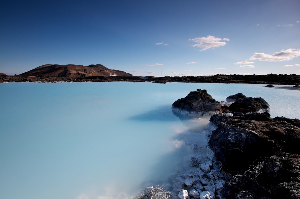
There's plenty to do in Grindavík, Iceland, a placid fishing town steeped in fish trade history. Many of the same families have been trolling these waters for generations, and visitors can see fishers hauling their daily bounty of cod out of the harbor by day and dine on the local catch at night. But the Grindavík area’s greatest claim to fame is the giant manmade geothermal expanse of the Blue Lagoon.

Blue Lagoon (Bláa Lónið)
Svartsengi; tel. 354/420-8800; www.bluelagoon.com; 9am-9pm daily; adults from 9,990ISK, ages 2-13 free, no children under age 2
Built on an 800-year-old lava field, the Blue Lagoon covers an area of 8,700 sq m (93,600 sq ft) and draws visitors from around the world to soak in its gloriously milky-blue waters amid a dreamlike atmosphere. The geothermally heated water, which ranges 37-39°C (98-102°F), is heavenly any time of year. Enjoying the steamy air while soaking during the summer is lovely, especially on sunny days. In winter, a visit here is eerie and wonderful; watching as snow falls from the jet-black December sky or as northern lights dance across it while lounging in the hot water is sublime.
The water isn’t deep, about 1.5 m (5 ft), and the bottom is covered with white silica mud, the result of a natural process of recondensation. It’s common to see visitors cover their faces with the mud—it’s great for your skin, and all guests receive a free silica mud mask with standard admission. The gift shop sells Blue Lagoon skin products that have ingredients ranging from silica mud to algae found in other parts of Iceland. At the swim-up Lagoon Bar, in the main section of the lagoon, you can purchase drinks to enjoy while lounging in the waters. There are also two steam baths on the property, as well as a dry sauna and massage area, and spa treatments are available.
Many tours feature a visit to the Blue Lagoon, but if you’re traveling independently, it makes sense to visit right after you fly in or before you head home, as it’s very close to Keflavík airport. A rejuvenating soak is a great way to kick off your trip or end it on a relaxing note.
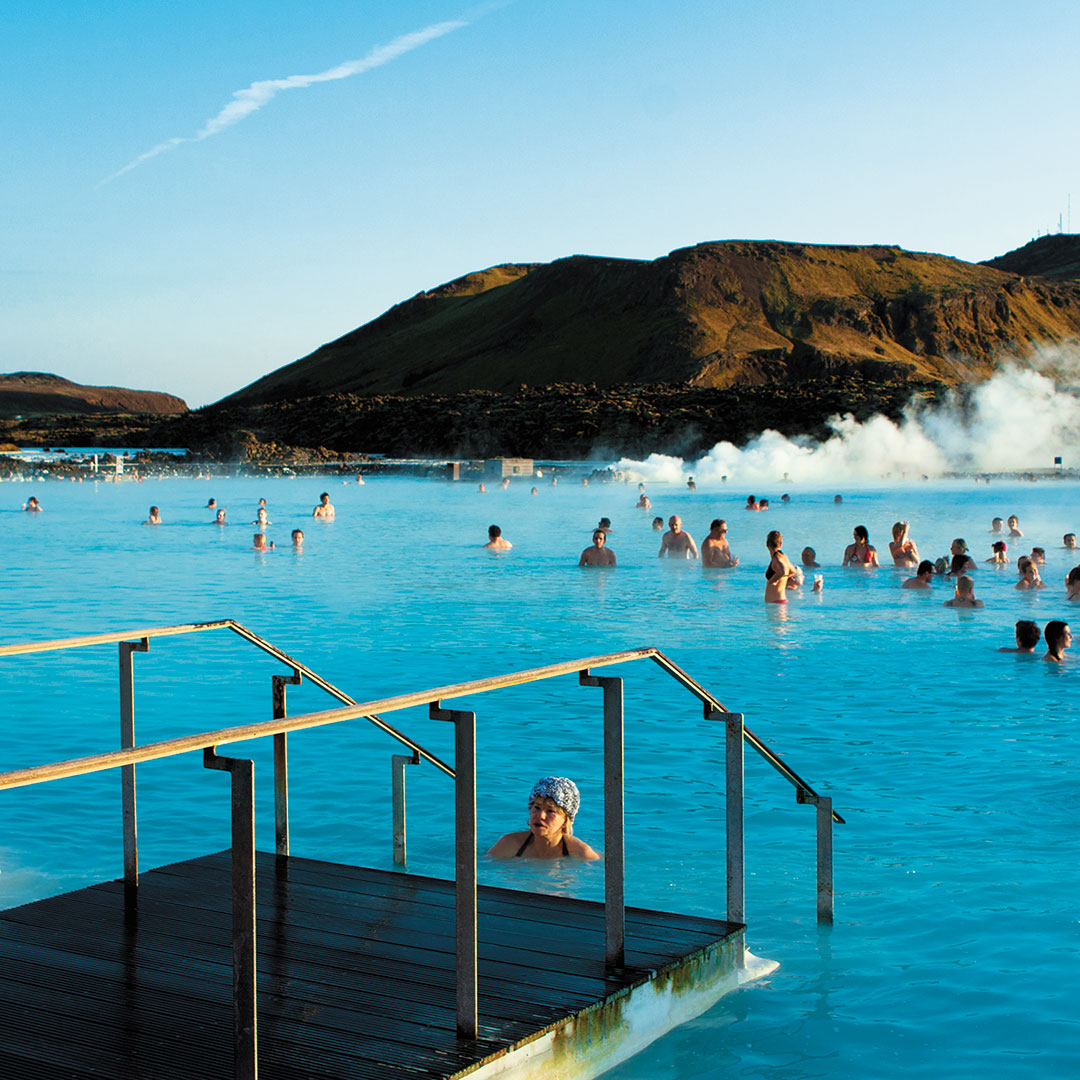
Tickets
The comfort package fee is 9,990ISK for those over age 13, and free for ages 2-13. Children under age 2 are not allowed in the lagoon. Also included in the price of a ticket is a silica mud mask, the use of a towel, and your first drink of choice. The premium package (12,990ISK) includes everything the comfort package offers as well as two additional masks, use of a bathrobe, and two drinks of your choice. The signature package (20,990ISK) includes everything from the premium package plus two products from the Blue Lagoon skin care line to take home with you.
Because of the increase in tourism over the past several years, the Blue Lagoon now requires you to book a time slot ahead of your arrival, which you can do on its website. Reserve your time at least several weeks before your trip. Thousands of people visit the site every day, and it can get quite crowded during summer months. For the best chance of avoiding the crowds, book for early in the morning or late in the evening.
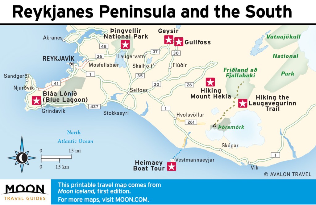
Build your Europe travel bucket list
Pin It for Later

There's plenty to do in Grindavík, Iceland, a placid fishing town steeped in fish trade history. Many of the same families have been trolling these waters for generations, and visitors can see fishers hauling their daily bounty of cod out of the harbor by day and dine on the local catch at night. But the Grindavík area’s greatest claim to fame is the giant manmade geothermal expanse of the Blue Lagoon.

Blue Lagoon (Bláa Lónið)
Svartsengi; tel. 354/420-8800; www.bluelagoon.com; 9am-9pm daily; adults from 9,990ISK, ages 2-13 free, no children under age 2
Built on an 800-year-old lava field, the Blue Lagoon covers an area of 8,700 sq m (93,600 sq ft) and draws visitors from around the world to soak in its gloriously milky-blue waters amid a dreamlike atmosphere. The geothermally heated water, which ranges 37-39°C (98-102°F), is heavenly any time of year. Enjoying the steamy air while soaking during the summer is lovely, especially on sunny days. In winter, a visit here is eerie and wonderful; watching as snow falls from the jet-black December sky or as northern lights dance across it while lounging in the hot water is sublime.
The water isn’t deep, about 1.5 m (5 ft), and the bottom is covered with white silica mud, the result of a natural process of recondensation. It’s common to see visitors cover their faces with the mud—it’s great for your skin, and all guests receive a free silica mud mask with standard admission. The gift shop sells Blue Lagoon skin products that have ingredients ranging from silica mud to algae found in other parts of Iceland. At the swim-up Lagoon Bar, in the main section of the lagoon, you can purchase drinks to enjoy while lounging in the waters. There are also two steam baths on the property, as well as a dry sauna and massage area, and spa treatments are available.
Many tours feature a visit to the Blue Lagoon, but if you’re traveling independently, it makes sense to visit right after you fly in or before you head home, as it’s very close to Keflavík airport. A rejuvenating soak is a great way to kick off your trip or end it on a relaxing note.

Tickets
The comfort package fee is 9,990ISK for those over age 13, and free for ages 2-13. Children under age 2 are not allowed in the lagoon. Also included in the price of a ticket is a silica mud mask, the use of a towel, and your first drink of choice. The premium package (12,990ISK) includes everything the comfort package offers as well as two additional masks, use of a bathrobe, and two drinks of your choice. The signature package (20,990ISK) includes everything from the premium package plus two products from the Blue Lagoon skin care line to take home with you.
Because of the increase in tourism over the past several years, the Blue Lagoon now requires you to book a time slot ahead of your arrival, which you can do on its website. Reserve your time at least several weeks before your trip. Thousands of people visit the site every day, and it can get quite crowded during summer months. For the best chance of avoiding the crowds, book for early in the morning or late in the evening.

Build your Europe travel bucket list
Pin It for Later


]]>

]]>
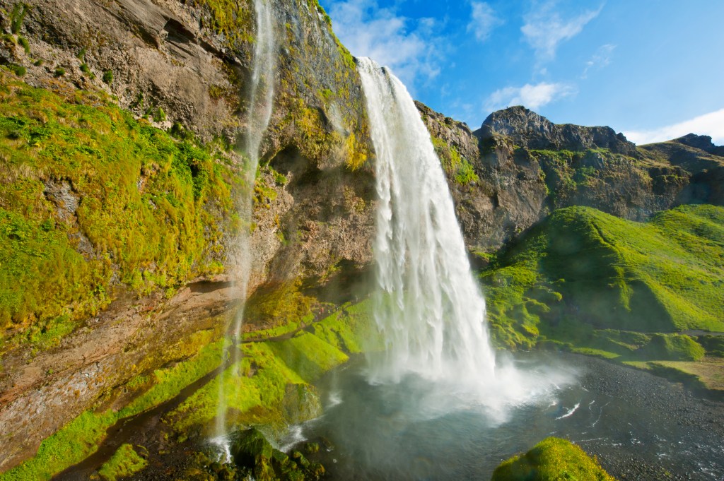
The Ring Road (Route 1) encircles Iceland, connecting many of the most popular attractions. Paved for most of its 1,332-km (827-mi) length, the Ring Road is the most accessible route around the country. Driving along, you’ll encounter breathtaking landscapes ranging from towering mountains to barren lava fields to glaciers looming in the distance.
The Ring Road is popular for a reason: The loop is a convenient way to see the best of Iceland’s nature, starting with the most popular attractions in the south to lesser-known gems around the island. For travelers who have at least 10 days, driving the Ring Road is ideal, the best use of time to see as much as possible without backtracking to one or two bases.
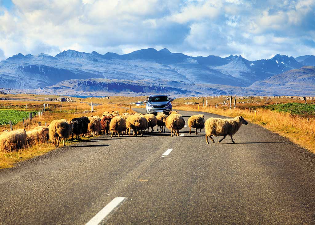
Some of the can’t-miss sites in this itinerary include the Golden Circle attractions, Seljalandsfoss and Skógafoss waterfalls in the south, Skaftafell and Jókulsárlón in the east, the Mývatn area and Akureyri in the north, and Snæfellsnes in the west. For activities, it’s highly recommended to take a whale-watching tour in Húsavík and take a boat tour among the icebergs at Jókulsárlón.
Planning the Drive
Seasonal Considerations and Road Conditions
Plan your trip on the Ring Road in summer (June-August) and the shoulder months May and September. Iceland’s weather is known for being notoriously changeable and this, of course, impacts a Ring Road drive. Sunny skies can give way to fog in seconds, rain comes and goes, and drivers must be aware of wind speeds that can be dangerous.
The summer is the most popular time to undergo a Ring Road trip, as the weather is most favorable and the landscape is lush and green. The good weather draws a large number of tourists, but the Ring Road rarely feels crowded, with the most traffic in the south.
Despite snow removal during winter, snowfall, ice, and high winds can make driving challenging. It’s important to frequently check the weather forecast and road conditions, as windstorms can strike any time of year, making driving hazardous.
Keep in mind that it’s always necessary to check road conditions before you head out in your car. Weather changes rapidly in Iceland, and you do not want to be unprepared. You should check weather and road conditions at the beginning of each day before hitting the road. Important websites to look at include www.road.is and www.vedur.is.
Renting Your Car
For a summer road trip, a standard 2WD car will be adequate, though having a 4WD vehicle won’t hurt. In the winter, you will want a car with studded tires for potentially icy roads. You should only rent a campervan in the summer months, when campsites are open.
The Ring Road can be driven in any car. It comes down to preference, and some travelers prefer a larger vehicle. In Iceland, you will find a number of international rental car agencies, including Hertz, Avis, and Budget, as well as local rental agencies. It’s best to book your rental directly instead of through third parties. Small car rentals with insurance start at 15,000ISK per day, and a large SUV can start at 40,000ISK per day. It is best to book ahead, at least three months before your trip.
In addition to collision damage waiver insurance, it is recommended to get additional gravel protection insurance, and possibly sand and ash insurance as well. When collecting your car, you should take photos of existing damage to the vehicle and make sure you understand your rental agreement and insurance policy. Check lights and tires, and make sure there’s a spare tire. GPS devices can be rented through your car rental agency for a small fee. It’s always a good idea to have paper maps too, just in case.
What to Pack
Packing for a road trip can seem daunting, so here is a handy guide.
- Paper maps, which can be purchased at gas stations or tourist information centers; optionally a GPS receiver
- Reusable water bottle
- Snacks for the car
- Sturdy walking shoes or boots with good tread
- Layers and waterproof outerwear
- Bathing suit for swimming pools and hot springs
- Mobile phone, chargers, and adapters
Getting Gas
Gas stations are located around the Ring Road, but there are pockets where they become scarce, namely between Vík in the south and Mývatn in the north. It’s a good idea to fully fill your tank when you have the opportunity.
For a medium-size car, it costs about 15,000ISK to fill up a tank with petrol. At the time of writing, petrol costs about 260ISK per L (990ISK per gal) and diesel costs 292ISK per L (1,110ISK per gal). You can check up-to-date fuel prices at www.gsmbensin.is.
Unstaffed gas stations are popular in rural areas. You must have a four-digit PIN for your credit card to fill up at these gas stations. If you don’t have a card with a PIN, contact your bank ahead of your visit.
Environmentally Friendly Travel
Here are some tips for making your Ring Road trip more environmentally friendly:
- Drink the tap water instead of buying bottles of water in shops. Iceland has some of the cleanest water on the planet.
- Protect the land by never driving off-road.
- Be sure to camp within campsites.
- Make sure you recycle.
Unfortunately, Iceland's current infrastructure does not make it feasible to rent an electric car for this road trip. Charging stations are still too few and far between in many areas of the island.
Driving Laws
There are a few rules travelers should be aware of when driving the Ring Road.
- Off-road driving is strictly prohibited and there are hefty fines from authorities.
- All passengers in a vehicle must wear a seat belt.
- Talking on a mobile phone while driving is prohibited.
- Driving under the influence is illegal, and fines start at 100,000ISK.
- Drivers must use headlights at all times, even in bright daylight.
Speed Limits
Speeding fines are high, and can be collected through the rental car company, which will have an imprint of your credit card. Fines can range 30,000-200,000ISK. There are speed cameras along the Ring Road. The speed limits are:
- 90 km/h (56 mph) on paved roads like the Ring Road
- 80 km/h (50 mph) on gravel roads
- 50 km/h (31 mph) or less in residential areas
Cell Phone Service
Iceland has surprisingly good cell phone service across the island, even in the highlands. You can purchase SIM cards at Keflavik airport as well as at shops around the country. The three main cell phone providers in Iceland are Vodafone, Siminn, and Nova. Always make sure your mobile phone is fully charged. In case of an emergency, the national emergency number is 112.
Food, Accommodations, and Camping
Accommodations along the Ring Road range from budget-friendly hostels to luxury hotels. It is strongly recommended to book accommodations in advance, as options are limited in many parts of the island. You should also have a rough plan for where and when you want to eat along your route, as choices in rural areas can be few and far between. If you are staying in self-catering accommodations, it makes sense to buy food from supermarkets, and in general it’s smart to stock up on snacks and meals for the road. It is not necessary to make reservations for restaurants in the countryside.
Camping season is June 1-mid-September; the rest of the year, most campsites are closed. Campsites are independently owned, so amenities vary, but most have showers, electricity, and an area to prepare food; all have toilets, and some have washing machines. Dispersed camping in Iceland is against the law without permission from the landowner. A campsite can range 1,200-2,500ISK per night. Campers should be sure to bring a three-season tent and a warm sleeping bag; you can also park a campervan at campsites.
Planning Your Time
To do the Ring Road justice, you should allocate at least 10 days to the trip. It is possible to drive it in as few as 7 days in summer, but that would mean less time for sightseeing and activities, cutting down on time in the Eastfjords and the Snæfellsnes Peninsula detour in the west. In the winter, 10 days should be the minimum, as the unpredictable weather may require a buffer day or two. You can expect to drive on average 200 km (124 mi) per day, depending on the attractions and activities planned.
Advance bookings are necessary for many activities, including the Blue Lagoon and the Glacier Lagoon boat tour at Jökulsárlón.
Day 1: Reykjavík and the Blue Lagoon
Afternoon
Driving time: 25 minutes; Driving distance: 21.5 km (13 mi); Directions: Route 41 to Route 43 south to the Blue Lagoon
After landing at Keflavík International Airport (Keflavíkurflugvöllur; tel. 354/425-6000), pick up your rental car and head south on Route 43.
Blue Lagoon
Svartsengi; tel. 354/420-8800; www.bluelagoon.com; 9am-9pm daily, must be booked in advance
Make a stop at the Blue Lagoon near Grindavík to soak in the soothing, geothermally heated water.
Evening
Driving time: 50 minutes; Driving distance: 49 km (30 mi); Directions: Route 43 north to Route 41 east to Reykjavik; Route 41 becomes Route 40; turn on Route 49 west to get to Reykjavík city center
Revived, you’re ready to drive to Reykjavík to explore the capital city.
Reykjavík
In the evening, walk along Tjörnin (the Pond) before visiting the harbor, Grandi. See the glass-paneled Harpa concert hall (Austurbakki 2; tel. 354/528-5000; www.harpa.is; 9am-10pm daily) and the Sun Voyager (Sólfar) sculpture, which resembles a Viking ship.
For dinner, stop by Hlemmur Mathöll (Laugavegur 107; tel. 354/577-6200; www.hlemmurmatholl.is; 10am-11pm daily) for a satisfying meal. Spend the night at well-located Hótel Frón (Laugavegur 22A; tel. 354/511-4666; www.hotelfron.is; from 30,000ISK).
Day 2: The Golden Circle
Morning
Driving time: 50 minutes; Driving distance: 48 km (30 mi); Directions: Route 49 east turns into Route 1 (the Ring Road); Route 1 to Route 36 east to Þingvellir National Park
From Reykjavík, set off on a tour of the Golden Circle, a trio of must-see sights.
Þingvellir National Park
Þingvellir National Park is a geological wonder and also the birthplace of democracy in Iceland. The Þingvellir Interpretive Center (tel. 354/482-2660; www.thingvellir.is; 9am-8pm daily June-Aug., 9am-5pm daily Sept.-Apr.; free, parking 1,000ISK) gives a great overview of the national park’s history and geographical significance, along with maps for hiking trails. Spend 1-2 hours roaming this UNESCO World Heritage site’s main sights, including Almannagjá (All Man’s Gorge) and Lögberg (Law Rock).
Afternoon
Driving time: 1 hour; Driving distance: 70 km (43 mi); Directions: Route 36 to Route 365, Route 37, and Route 35 northeast to Geysir and Gullfoss
Geysir
Heading east, Route 36 turns into Route 365, through a roundabout to Route 37 to the geothermal area of Geysir, about a 50-minute drive. The famous Geysir hasn’t erupted since 2005, but nearby Strokkur erupts every 5-7 minutes. Eat lunch in the Geysir Center cafeteria (Biskupstungnabraut; tel. 354/519-6020; 10am-8pm daily), where you can also shop for souvenirs.
Gullfoss
After lunch, head 10 minutes east on Route 35 to the famous Gullfoss, where white water thrashes down two tiers.
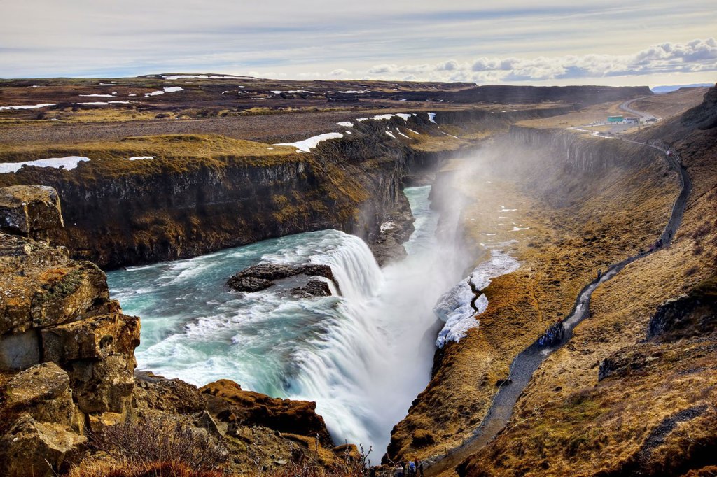
Evening
Driving time: 1 hour; Driving distance: 72 km (45 mi); Directions: Route 35 southwest to Route 1 southeast to Selfoss
Selfoss
After a day of sightseeing, drive to Selfoss, the largest town in South Iceland, where you will have dinner and spend the night at Hotel South Coast (Eyravegur 11-13; tel. 354/464-1113; www.hotelsouthcoast.is; from 33,000ISK).
Day 3: The South Coast
Morning
Driving time: 1.5 hours; Driving distance: 100 km (62 mi); Directions: Route 1 east to Route 249 north to Seljalandsfoss; Route 1 east to Skógafoss

Seljalandsfoss
From Selfoss, drive along the spectacular south coast on Route 1, with your first stop at Seljalandsfoss, a beautiful waterfall about an hour east. Turn left on Þórsmerkurvegur (Route 249), where a car park for Seljalandsfoss is clearly signed. At Seljalandsfoss, you can actually walk behind the falls on a footpath at the base of the waterfall. Explore and snap some photos for about an hour.
Skógafoss
After visiting Seljalandsfoss, continue on Route 1 east for another 30 minutes to Skógafoss. Turn left on Skógar, then left again on Skógafoss, where you’ll see the car park for the massive 60-m (197-ft) waterfall in the village of Skógar.
Afternoon and Evening
Driving time: 45 minutes; Driving distance: 46 km (29 mi); Directions: Route 1 east to Route 215 south to Reynisfjara; Route 1 east to Vík
Reynisfjara
Next, head to Reynisfjara beach near the village of Vík. This is about a 30-minute drive east, turning right toward the coast on Reynishverfisvegur (Route 215). This is perhaps the most famous black-sand beach in Iceland, due to its unique basalt columns.
Vík
Backtrack to Route 1 and head east to the tiny town of Vík. Have a snack at the darling Skool Beans (Klettsvegur; tel. 354/830-0079; www.skoolbeans.com; 9am-3pm Wed.-Fri., 9am-5pm Sat.-Sun.). After lunch, take a fun two-hour zip-line tour with True Adventure (Suðurvíkurvegur 5; tel. 354/698-8890; www. trueadventure.is; 11,900ISK), headquartered just on the other side of the Ring Road, a 12-minute walk or 2-minute drive.
Have dinner at Suður-Vík Restaurant and Café (Suðurvíkurvegur 1; tel. 354/487-1515; noon-9pm daily; entrées from 3,900ISK), right next to True Adventure. Add some much-needed variety to your diet in Iceland with their perfectly spiced Thai dishes. Spend the night at spacious, contemporary Hotel Kría (Sléttuvegur 12-14; tel. 354/416-2100; www.hotelkria.is; from 44,000ISK).
Day 4: The Glacial East
Morning
Driving time: 2 hours; Driving distance: 140 km (87 mi); Directions: Route 1 east to Vatnajökull National Park
Vatnajökull National Park
Get ready to see some icebergs today as you drive the Ring Road to Vatnajökull National Park, which is just under two hours east of Vík on Route 1. Turn left on Skaftafellsvegur, which turns into Hæðavegur.
Vatnajökull National Park is the home of Europe’s largest ice cap, specifically Skaftafell, the southern part of Vatnajökull, which used to be its own national park. Stop by Skaftafellsoffa (Skaftafellsvegur; tel. 354/478-1627; www.vatnajokulsthjodgardur.is; 10am-6pm daily Nov.-Feb., 9am-6pm daily Mar.-May and Sept.-Oct., 8am-7pm daily June-Aug.), the national park office, for information about the many footpaths and hiking trails in the region. Plan to spend the morning here hiking and taking in some of the park’s many vistas and waterfalls.
Afternoon
Driving time: 1 hour; Driving distance: 58 km (36 mi); Directions: Route 1 east to Jökulsárlón
Jökulsárlón
Continue on Route 1 for about an hour to Jökulsárlón, a glacial lagoon, where you will see huge chunks of ice floating in the water and, if you’re lucky, a curious seal or two. Take a 40-minute boat tour of the lagoon, which you should book in advance, with Glacier Lagoon (Jökulsárlón Ehf; tel. 354/478-2222; www.icelagoon.is; 10am-5pm daily May and Oct., 9am-7pm daily June-Sept.; 6,700ISK) to get close to icebergs and even get a chance to taste the ice.
Evening
Driving time: 1 hour; Driving distance: 80 km (50 mi); Directions: Route 1 east to Route 99 South to Höfn
Höfn
Drive another hour on Route 1 to the sleepy town of Höfn, the gateway for travelers seeking to visit the glacier, where you can have a fantastic lobster dinner at Þakkhús (Krosseyjarvegi 3; tel. 354/478-2280; www.pakkhus.is; entrées from 4,950ISK) and spend the night in the brightly decorated Hótel Höfn (Víkurbraut 20; tel. 354/478-1240; www.hotelhofn.is; from 45,000ISK).
Day 5: The Eastfjords to Mývatn
Morning
Driving time: 3 hours; Driving distance: 211 km (131 mi); Directions: Route 1 north to Stöðvarfjörður and Route 955 to Fáskrúðsfjörður
Petra's Stone & Mineral Collection
Fjarðarbraut 21, Stöðvarfjörður; tel. 354/475-8834; www.steinapetra.is; 9am-5pm daily May-Oct. 15, by appointment Oct. 16-Apr.; adults 2,000ISK, under age 14 free
Today’s long drive takes you north to the spectacular Eastfjords, dotted with small fishing villages and quirky attractions. About 2.5 hours in, make a stop at Petra’s Mineral Collection, right off the Ring Road in Stöðvarfjörður, to check out an enormous collection of geodes, minerals, and found objects.
Fáskrúðsfjörður
It’s just over 25 minutes to the unique town of Fáskrúðsfjörður, distinguished by its French influence. Have lunch at Café Sumarlína (Búðavegur 59; tel. 354/475-1575; www.sumarlina.is; 11am-8pm Mon.-Fri., 2pm-8pm Sat.-Sun., entrées from 2,950ISK).
Afternoon
Driving time: 3 hours; Driving distance: 257 km (160 mi); Directions: Route 1 north to Egilsstaðir and west to Krafla turnoff and Námaskarð
Lagarfljót
Continue about an hour north on Route 1 to Egilsstaðir and the long and narrow lake Lagarfljót. Get out of the car to stretch your legs and take a look at the dramatic lake.
Krafla
Drive another two hours northwest toward Lake Mývatn, turning off the Ring Road just before the lake to visit the huge 300-m (984-ft) crater of the Krafla volcano. A paved road leads up to the lava fields, where you can hike to hot springs and mud pools.
Námaskarð
Less than 2 km (1.2 mi) west of the turnoff for Krafla on Route 1 is the sulfurous, multicolored Námaskarð pass (15 km/9 mi northeast of Mývatn on Route 1). A short walking path encircles the mud pools.
Evening
Driving time: 25 minutes; Driving distance: 20 km (12 mi); Directions: Route 1 west to Lake Mývatn area; Route 848 south to Vogafjós Restaurant and Hotel Laxá
Lake Mývatn
Mývatn Nature Baths
tel. 354/464-4411; www.myvatnnaturebaths.is; noon-10pm daily, 6,900ISK
Back on Route 1, head west toward Lake Mývatn for 1.7 km (1.1 mi), then make a left at the turnoff for Mývatn Nature Baths, where you can have a relaxing evening soak.
Vogafjós Restaurant
Vogar; tel. 354/464-3800; 11am-10pm daily summer, 10am-9:30pm daily winter; dinner entrées from 3,900ISK
For dinner, continue west on Route 1 and turn south on Route 848 to head to Vogar. Dine at cute, quirky Vogafjós Restaurant.
Hotel Laxá
Olnbogaás; tel. 354/464-1900; from 35,000ISK
After dinner, head south on Route 848 to go halfway around the lake, about 16 km (10 mi) from the restaurant. Spend the night at Hotel Laxá, a modern hotel that offers huge windows in rooms that overlook the wonders of Mývatn.
Days 6: Detour to Húsavík
Morning
Driving time: 45 minutes; Driving distance: 62 km (39 mi); Directions: Route 1 along west side of Lake Mývatn to Route 845 and Route 85 north to Húsavík
Whale-Watching
From Lake Mývatn, take a 45-minute detour off Route 1 to Route 87, then Route 85 to Húsavík, a placid seaside town known for its spectacular whale-watching. Take a three-hour morning cruise with Gentle Giants (tel. 354/464-1500; www.gentlegiants.is; adults 11,490ISK, ages 7-15 5,590ISK, under age 7 free) to get a glimpse of the giant sea mammals. Afterward, stroll along the harbor and have lunch at Salka Restaurant (Garðarsbraut 4; tel. 354/464-2551; 11:30am-10pm daily; entrées from 3,500ISK).
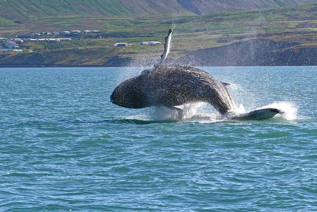
Afternoon
Driving time: 50 minutes; Driving distance: 62 km (39 mi); Directions: Route 85 east to Ásbyrgi turnoff
Ásbyrgi
From Húsavík, drive east for 50 minutes on Route 85 to Ásbyrgi, a horseshoe-shaped gorge with towering rock walls. Follow the 1-km (0.6-mi) footpath starting from the parking lot; it takes 30-60 minutes depending on how often you pause to soak in the natural beauty of the region. At the bottom of the canyon you can see small lakes, thick trees, and interesting rock formations.
Evening
Driving time: 50 minutes; Driving distance: 62 km (39 mi); Directions: Route 85 west to Húsavík
Húsavík
Back in Húsavík, have dinner at Gamlí Baukur (Hafnarstett 9; tel. 354/464-2442; www.gamlibaukur.is; 11:30am-11pm daily; entrées from 3,600ISK), and stay at Fosshotel Húsavík (Ketilsbraut 22; tel. 354/464-1220; www.islandshotel.is; from 30,000ISK).
Day 7: The North
Morning
Driving time: 1.5 hours; Driving distance: 83 km (52 mi); Directions: Route 85 south to Route 845 south to Route 1 south to Goðafoss; Route 1 west to Akureyri
Goðafoss
Drive 40 minutes south on Route 85 to Route 845 and finally back to the Ring Road and get ready to see the “waterfall of the Gods”: Goðafoss, one of the most beautiful waterfalls on the island. Spend a couple of hours roaming the area and soaking in the views.
Akureyri
From Goðafoss, hop back on Route 1 for 30 minutes, heading west to Akureyri, the charming unofficial capital of North Iceland.
Akureyri Botanical Gardens
Eyrarlandsholt; tel. 354/462-7487; www.lystigardur.akureyri.is; 8am-10pm Mon.-Fri., 9am-10pm Sat.-Sun. June-Sept.; free
Be sure to visit the Akureyri Botanical Gardens, one of the northernmost botanical gardens in the world. The gorgeous grounds boast native and international species alike.
City Center
Make your way to the city center, a few minutes’ drive or a 10-minute walk from the Botanical Gardens, to check out the Akureyrarkirkja church (Eyrarlandsvegur; tel. 354/462-7700; www.akureyrarkirkja.is; 10am-4pm Mon.-Sat., 4pm-7pm Sun. June 15-Aug. 15; free) and have lunch at Berlín Akureyri (Skipagata 4; tel. 354/772-5061; 8am-5pm daily; entrées from 2,300ISK).
Afternoon and Evening
Driving time: 1 hour; Driving distance: 78 km (48 mi); Directions: Route 82 north turns into Route 76 to Siglufjörður
The Northwest
From Akureyri, set off for a drive north on Route 82, passing through Dalvík. You’ll be following Eyjafjörður, Iceland’s longest fjord, so the scenery boasts breathtaking views of mountains and jagged cliffs.
Siglufjörður
After just over an hour, you’ll reach the pretty town of Siglufjörður. Check out the harbor area and visit the fascinating Herring Era Museum (Snorragata 10; tel. 354/467-1604; 10am-5pm daily June-Aug., 1pm-5pm daily May and Sept., by appointment Oct.-Apr.; 2,400ISK). The Folk Music Center (Norðurgata 1; tel. 354/467-2300; www.folkmusik.is; 11am-5pm daily June-Aug., by request Sept.-May; 1,600ISK) is also worth a stop.
Have dinner at the cozy Harbour House Café (Gránugata 5b; tel. 354/841-7889; lunch noon-2pm daily, dinner 6pm-10pm daily; entrées from 2,600ISK) on the harbor and spend the night at hip Siglunes Guesthouse (Laekjargata 10; tel. 354/467-1222; www.hotel-siglunes.is; from 25,000ISK).
Day 8: Driving to Snæfellsnes
The long journey to the Snæfellsnes Peninsula will take nearly the entire day.
Morning
Driving time: 1.5 hours; Driving distance: 107 km (66 mi); Directions: Route 76 west and south to Route 75 west to Skagafjörður
Skagafjörður
Take Route 76 out of Siglufjörður—this entails heading north at first, but ultimately you’ll be going south and west toward the Snæfellsnes Peninsula. Stop in Skagafjörður, a region known for its large number of horses, along the way. Take a break from driving with a visit to the Skagafjörður Folk Museum (GPS coordinates N 65.6104, W 19.5036; tel. 354/453-6173; www.glaumbaer.is; 10am-4pm Mon.-Fri. Apr.-May 19, 10am-6pm daily May 20-Sept. 20, 10am-4pm Mon.-Fri. Sept. 21-Oct. 20, by request Oct. 21-Mar.; adults 2,000ISK, under age 17 free), where you can learn about the turf houses Icelanders used to call home.
Afternoon and Evening
Driving time: 4 hours; Driving distance: 285 km (177 mi); Directions: Route 1 west to Route 54 west to Route 56 north to Route 54 west to Kirkjufell
Kirkjufell
Route 54 is a semi-elliptical road that runs around the Snæfellsnes Peninsula. Since you will be approaching from the south, you will hit the peninsula on the southern stretch of Route 54, then cut across to the northern stretch to check out the beautiful mountain of Kirkjufell near Grundarfjörður. Kirkjufell is popular with photographers in Iceland thanks to its unique shape. When viewed from the south, the mountain looks very thin, coming to a point at the top, resembling a fin. Wander the picturesque beaches around the mountain and take pictures of it from every angle.
Grundarfjörður
After a full day of driving, head to Grundarfjörður Swimming Pool (Borgarbraut 19; tel. 354/430-8564; 7am-9pm Mon.-Fri., 10am-6pm Sat.-Sun.; 1,000ISK) for a relaxing soak and mingling with the locals of the tiny town of Grundarfjörður. Then head to Kirkjufell Hotel (Nesvegur 8; tel. 354/438-6893; www.kirkjufellhotel.is; from 35,000ISK), where the in-house restaurant (breakfast 7am-10am, dinner 5pm-9pm daily; entrées from 3,400ISK) has a reputation for excellent seafood.
Day 9: Snæfellsjökull National Park and Borgarnes
Morning
Driving time: 1 hour; Driving distance: 52 km (32 mi); Directions: Route 54 west to Route 574 west to Snæfellsjökull National Park
Snæfellsjökull National Park
This morning, drive on Route 54 to Route 574 around Snæfellsjökull National Park. From Grundarfjörður, the most direct route is to take the northern stretch of Route 54 to Route 574 and approach the park from the north. Some of the more picturesque landmarks are on the southern end of the park: Dritvík Cove and Lóndrangar Cliffs, as well as Hellnar and Arnarstapi Cliffs, known for their rich birdlife. These sites are all within minutes of each other, so plan to spend the entire morning driving short distances, wandering footpaths, and enjoying the vistas of this beautiful national park, with Snæfellsjökull glacier looming in the background.
Afternoon
Driving time: 1.5 hours; Driving distance: 134 km (83 mi); Directions: Route 54 east to Borgarnes
Borgarnes
On your way back to Reykjavík, make a stop at the lovely town of Borgarnes. Have a pizza lunch at La Colina (Hrafnaklettur 1b; tel. 354/437-0110; noon-9pm daily; entrées from 2,300ISK) and visit the Settlement Center museum (Brákarbraut 13-15; tel. 354/437-1600; www.landnam.is/eng; 10am-5pmdaily; adults 3,500ISK, students and seniors 3,000ISK, ages 6-12 1,000ISK), where you can learn about the sagas, Iceland’s rich literary and historical tales.
Evening
Driving time: 1 hour; Driving distance: 76 km (47 mi); Directions: Route 1 south to Route 49 west to Reykjavík
Reykjavík
Back on the Ring Road, drive to Reykjavík. Spend a low-key evening in the city. For sweeping panoramic city views, visit either the church tower of Hallgrímskirkja (Hallgrímstorg 1; tel. 354/510-1000; www.hallgrimskirkja.is; 10am-5pm daily) or Perlan (The Pearl) (Öskjuhlíð; tel. 354/562-0200; www.perlan.is; 9am-10pm daily).
Do as the locals do and enjoy a relaxing swim at the pool Laugardalslaug (Sundlaugavegur 30; tel. 354/411-5100; 6:30 a m-10pm Mon.-Fr i., 8a m-10pm Sat.-Sun.; 1,330ISK). Afterward, head to Fiskmarkaðurinn (Fish Market; Aðlstræti 12; tel. 354/578-8877; www.fiskmarkadurinn.is; 5:30pm-10:30pm daily; entrées from 6,990ISK) for dinner, then to Hótel Frón (Laugavegur 22A; tel. 354/511-4666; www.hotelfron.is; from 30,000ISK) for the night.
Last Day
Reykjavík
Spend as much time in Reykjavík as possible before heading back to Keflavík for your flight. If you only have time for a quick coffee, check out Reykjavík’s oldest coffeehouse, Mokka (Skólavörðustígur 3A; tel. 354/552-1174; www.mokka.is; 9am-6pm daily; 700ISK), or pick up one of the city’s famous hot dogs at Bæjarins Beztu Pylsur (Tryggvatagata 1; tel. 354/511-1566; www.bbp.is; 10am-1am Sun.-Thurs., 10am-4:30am Fri.-Sat.; 740ISK).
Keflavík International Airport
Driving time: 50 minutes; Driving distance: 49 km (30 mi); Directions: Route 41 west to Reykjavík
Drive back to Keflavík to drop off your rental car and catch your flight back home. Congratulations on completing your Ring Road road trip!
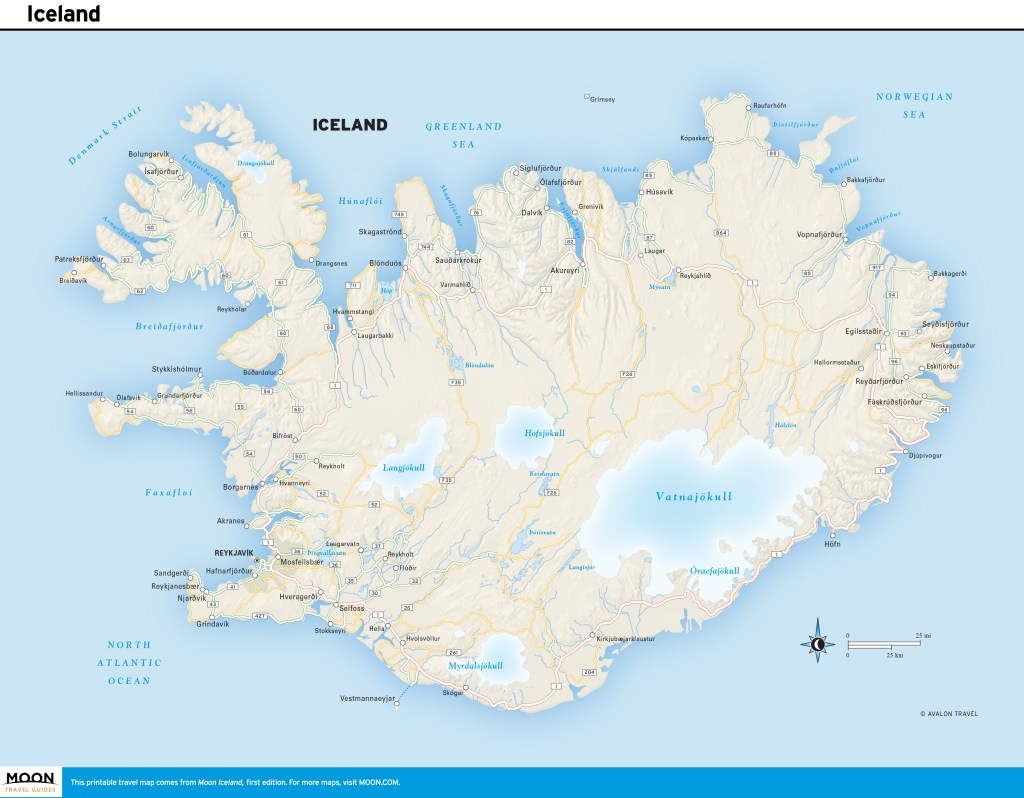
Heading to Iceland?
Build your Europe travel bucket list
Pin It for Later

The Ring Road (Route 1) encircles Iceland, connecting many of the most popular attractions. Paved for most of its 1,332-km (827-mi) length, the Ring Road is the most accessible route around the country. Driving along, you’ll encounter breathtaking landscapes ranging from towering mountains to barren lava fields to glaciers looming in the distance.
The Ring Road is popular for a reason: The loop is a convenient way to see the best of Iceland’s nature, starting with the most popular attractions in the south to lesser-known gems around the island. For travelers who have at least 10 days, driving the Ring Road is ideal, the best use of time to see as much as possible without backtracking to one or two bases.

Some of the can’t-miss sites in this itinerary include the Golden Circle attractions, Seljalandsfoss and Skógafoss waterfalls in the south, Skaftafell and Jókulsárlón in the east, the Mývatn area and Akureyri in the north, and Snæfellsnes in the west. For activities, it’s highly recommended to take a whale-watching tour in Húsavík and take a boat tour among the icebergs at Jókulsárlón.
Planning the Drive
Seasonal Considerations and Road Conditions
Plan your trip on the Ring Road in summer (June-August) and the shoulder months May and September. Iceland’s weather is known for being notoriously changeable and this, of course, impacts a Ring Road drive. Sunny skies can give way to fog in seconds, rain comes and goes, and drivers must be aware of wind speeds that can be dangerous.
The summer is the most popular time to undergo a Ring Road trip, as the weather is most favorable and the landscape is lush and green. The good weather draws a large number of tourists, but the Ring Road rarely feels crowded, with the most traffic in the south.
Despite snow removal during winter, snowfall, ice, and high winds can make driving challenging. It’s important to frequently check the weather forecast and road conditions, as windstorms can strike any time of year, making driving hazardous.
Keep in mind that it’s always necessary to check road conditions before you head out in your car. Weather changes rapidly in Iceland, and you do not want to be unprepared. You should check weather and road conditions at the beginning of each day before hitting the road. Important websites to look at include www.road.is and www.vedur.is.
Renting Your Car
For a summer road trip, a standard 2WD car will be adequate, though having a 4WD vehicle won’t hurt. In the winter, you will want a car with studded tires for potentially icy roads. You should only rent a campervan in the summer months, when campsites are open.
The Ring Road can be driven in any car. It comes down to preference, and some travelers prefer a larger vehicle. In Iceland, you will find a number of international rental car agencies, including Hertz, Avis, and Budget, as well as local rental agencies. It’s best to book your rental directly instead of through third parties. Small car rentals with insurance start at 15,000ISK per day, and a large SUV can start at 40,000ISK per day. It is best to book ahead, at least three months before your trip.
In addition to collision damage waiver insurance, it is recommended to get additional gravel protection insurance, and possibly sand and ash insurance as well. When collecting your car, you should take photos of existing damage to the vehicle and make sure you understand your rental agreement and insurance policy. Check lights and tires, and make sure there’s a spare tire. GPS devices can be rented through your car rental agency for a small fee. It’s always a good idea to have paper maps too, just in case.
What to Pack
Packing for a road trip can seem daunting, so here is a handy guide.
- Paper maps, which can be purchased at gas stations or tourist information centers; optionally a GPS receiver
- Reusable water bottle
- Snacks for the car
- Sturdy walking shoes or boots with good tread
- Layers and waterproof outerwear
- Bathing suit for swimming pools and hot springs
- Mobile phone, chargers, and adapters
Getting Gas
Gas stations are located around the Ring Road, but there are pockets where they become scarce, namely between Vík in the south and Mývatn in the north. It’s a good idea to fully fill your tank when you have the opportunity.
For a medium-size car, it costs about 15,000ISK to fill up a tank with petrol. At the time of writing, petrol costs about 260ISK per L (990ISK per gal) and diesel costs 292ISK per L (1,110ISK per gal). You can check up-to-date fuel prices at www.gsmbensin.is.
Unstaffed gas stations are popular in rural areas. You must have a four-digit PIN for your credit card to fill up at these gas stations. If you don’t have a card with a PIN, contact your bank ahead of your visit.
Environmentally Friendly Travel
Here are some tips for making your Ring Road trip more environmentally friendly:
- Drink the tap water instead of buying bottles of water in shops. Iceland has some of the cleanest water on the planet.
- Protect the land by never driving off-road.
- Be sure to camp within campsites.
- Make sure you recycle.
Unfortunately, Iceland's current infrastructure does not make it feasible to rent an electric car for this road trip. Charging stations are still too few and far between in many areas of the island.
Driving Laws
There are a few rules travelers should be aware of when driving the Ring Road.
- Off-road driving is strictly prohibited and there are hefty fines from authorities.
- All passengers in a vehicle must wear a seat belt.
- Talking on a mobile phone while driving is prohibited.
- Driving under the influence is illegal, and fines start at 100,000ISK.
- Drivers must use headlights at all times, even in bright daylight.
Speed Limits
Speeding fines are high, and can be collected through the rental car company, which will have an imprint of your credit card. Fines can range 30,000-200,000ISK. There are speed cameras along the Ring Road. The speed limits are:
- 90 km/h (56 mph) on paved roads like the Ring Road
- 80 km/h (50 mph) on gravel roads
- 50 km/h (31 mph) or less in residential areas
Cell Phone Service
Iceland has surprisingly good cell phone service across the island, even in the highlands. You can purchase SIM cards at Keflavik airport as well as at shops around the country. The three main cell phone providers in Iceland are Vodafone, Siminn, and Nova. Always make sure your mobile phone is fully charged. In case of an emergency, the national emergency number is 112.
Food, Accommodations, and Camping
Accommodations along the Ring Road range from budget-friendly hostels to luxury hotels. It is strongly recommended to book accommodations in advance, as options are limited in many parts of the island. You should also have a rough plan for where and when you want to eat along your route, as choices in rural areas can be few and far between. If you are staying in self-catering accommodations, it makes sense to buy food from supermarkets, and in general it’s smart to stock up on snacks and meals for the road. It is not necessary to make reservations for restaurants in the countryside.
Camping season is June 1-mid-September; the rest of the year, most campsites are closed. Campsites are independently owned, so amenities vary, but most have showers, electricity, and an area to prepare food; all have toilets, and some have washing machines. Dispersed camping in Iceland is against the law without permission from the landowner. A campsite can range 1,200-2,500ISK per night. Campers should be sure to bring a three-season tent and a warm sleeping bag; you can also park a campervan at campsites.
Planning Your Time
To do the Ring Road justice, you should allocate at least 10 days to the trip. It is possible to drive it in as few as 7 days in summer, but that would mean less time for sightseeing and activities, cutting down on time in the Eastfjords and the Snæfellsnes Peninsula detour in the west. In the winter, 10 days should be the minimum, as the unpredictable weather may require a buffer day or two. You can expect to drive on average 200 km (124 mi) per day, depending on the attractions and activities planned.
Advance bookings are necessary for many activities, including the Blue Lagoon and the Glacier Lagoon boat tour at Jökulsárlón.
Day 1: Reykjavík and the Blue Lagoon
Afternoon
Driving time: 25 minutes; Driving distance: 21.5 km (13 mi); Directions: Route 41 to Route 43 south to the Blue Lagoon
After landing at Keflavík International Airport (Keflavíkurflugvöllur; tel. 354/425-6000), pick up your rental car and head south on Route 43.
Blue Lagoon
Svartsengi; tel. 354/420-8800; www.bluelagoon.com; 9am-9pm daily, must be booked in advance
Make a stop at the Blue Lagoon near Grindavík to soak in the soothing, geothermally heated water.
Evening
Driving time: 50 minutes; Driving distance: 49 km (30 mi); Directions: Route 43 north to Route 41 east to Reykjavik; Route 41 becomes Route 40; turn on Route 49 west to get to Reykjavík city center
Revived, you’re ready to drive to Reykjavík to explore the capital city.
Reykjavík
In the evening, walk along Tjörnin (the Pond) before visiting the harbor, Grandi. See the glass-paneled Harpa concert hall (Austurbakki 2; tel. 354/528-5000; www.harpa.is; 9am-10pm daily) and the Sun Voyager (Sólfar) sculpture, which resembles a Viking ship.
For dinner, stop by Hlemmur Mathöll (Laugavegur 107; tel. 354/577-6200; www.hlemmurmatholl.is; 10am-11pm daily) for a satisfying meal. Spend the night at well-located Hótel Frón (Laugavegur 22A; tel. 354/511-4666; www.hotelfron.is; from 30,000ISK).
Day 2: The Golden Circle
Morning
Driving time: 50 minutes; Driving distance: 48 km (30 mi); Directions: Route 49 east turns into Route 1 (the Ring Road); Route 1 to Route 36 east to Þingvellir National Park
From Reykjavík, set off on a tour of the Golden Circle, a trio of must-see sights.
Þingvellir National Park
Þingvellir National Park is a geological wonder and also the birthplace of democracy in Iceland. The Þingvellir Interpretive Center (tel. 354/482-2660; www.thingvellir.is; 9am-8pm daily June-Aug., 9am-5pm daily Sept.-Apr.; free, parking 1,000ISK) gives a great overview of the national park’s history and geographical significance, along with maps for hiking trails. Spend 1-2 hours roaming this UNESCO World Heritage site’s main sights, including Almannagjá (All Man’s Gorge) and Lögberg (Law Rock).
Afternoon
Driving time: 1 hour; Driving distance: 70 km (43 mi); Directions: Route 36 to Route 365, Route 37, and Route 35 northeast to Geysir and Gullfoss
Geysir
Heading east, Route 36 turns into Route 365, through a roundabout to Route 37 to the geothermal area of Geysir, about a 50-minute drive. The famous Geysir hasn’t erupted since 2005, but nearby Strokkur erupts every 5-7 minutes. Eat lunch in the Geysir Center cafeteria (Biskupstungnabraut; tel. 354/519-6020; 10am-8pm daily), where you can also shop for souvenirs.
Gullfoss
After lunch, head 10 minutes east on Route 35 to the famous Gullfoss, where white water thrashes down two tiers.

Evening
Driving time: 1 hour; Driving distance: 72 km (45 mi); Directions: Route 35 southwest to Route 1 southeast to Selfoss
Selfoss
After a day of sightseeing, drive to Selfoss, the largest town in South Iceland, where you will have dinner and spend the night at Hotel South Coast (Eyravegur 11-13; tel. 354/464-1113; www.hotelsouthcoast.is; from 33,000ISK).
Day 3: The South Coast
Morning
Driving time: 1.5 hours; Driving distance: 100 km (62 mi); Directions: Route 1 east to Route 249 north to Seljalandsfoss; Route 1 east to Skógafoss

Seljalandsfoss
From Selfoss, drive along the spectacular south coast on Route 1, with your first stop at Seljalandsfoss, a beautiful waterfall about an hour east. Turn left on Þórsmerkurvegur (Route 249), where a car park for Seljalandsfoss is clearly signed. At Seljalandsfoss, you can actually walk behind the falls on a footpath at the base of the waterfall. Explore and snap some photos for about an hour.
Skógafoss
After visiting Seljalandsfoss, continue on Route 1 east for another 30 minutes to Skógafoss. Turn left on Skógar, then left again on Skógafoss, where you’ll see the car park for the massive 60-m (197-ft) waterfall in the village of Skógar.
Afternoon and Evening
Driving time: 45 minutes; Driving distance: 46 km (29 mi); Directions: Route 1 east to Route 215 south to Reynisfjara; Route 1 east to Vík
Reynisfjara
Next, head to Reynisfjara beach near the village of Vík. This is about a 30-minute drive east, turning right toward the coast on Reynishverfisvegur (Route 215). This is perhaps the most famous black-sand beach in Iceland, due to its unique basalt columns.
Vík
Backtrack to Route 1 and head east to the tiny town of Vík. Have a snack at the darling Skool Beans (Klettsvegur; tel. 354/830-0079; www.skoolbeans.com; 9am-3pm Wed.-Fri., 9am-5pm Sat.-Sun.). After lunch, take a fun two-hour zip-line tour with True Adventure (Suðurvíkurvegur 5; tel. 354/698-8890; www. trueadventure.is; 11,900ISK), headquartered just on the other side of the Ring Road, a 12-minute walk or 2-minute drive.
Have dinner at Suður-Vík Restaurant and Café (Suðurvíkurvegur 1; tel. 354/487-1515; noon-9pm daily; entrées from 3,900ISK), right next to True Adventure. Add some much-needed variety to your diet in Iceland with their perfectly spiced Thai dishes. Spend the night at spacious, contemporary Hotel Kría (Sléttuvegur 12-14; tel. 354/416-2100; www.hotelkria.is; from 44,000ISK).
Day 4: The Glacial East
Morning
Driving time: 2 hours; Driving distance: 140 km (87 mi); Directions: Route 1 east to Vatnajökull National Park
Vatnajökull National Park
Get ready to see some icebergs today as you drive the Ring Road to Vatnajökull National Park, which is just under two hours east of Vík on Route 1. Turn left on Skaftafellsvegur, which turns into Hæðavegur.
Vatnajökull National Park is the home of Europe’s largest ice cap, specifically Skaftafell, the southern part of Vatnajökull, which used to be its own national park. Stop by Skaftafellsoffa (Skaftafellsvegur; tel. 354/478-1627; www.vatnajokulsthjodgardur.is; 10am-6pm daily Nov.-Feb., 9am-6pm daily Mar.-May and Sept.-Oct., 8am-7pm daily June-Aug.), the national park office, for information about the many footpaths and hiking trails in the region. Plan to spend the morning here hiking and taking in some of the park’s many vistas and waterfalls.
Afternoon
Driving time: 1 hour; Driving distance: 58 km (36 mi); Directions: Route 1 east to Jökulsárlón
Jökulsárlón
Continue on Route 1 for about an hour to Jökulsárlón, a glacial lagoon, where you will see huge chunks of ice floating in the water and, if you’re lucky, a curious seal or two. Take a 40-minute boat tour of the lagoon, which you should book in advance, with Glacier Lagoon (Jökulsárlón Ehf; tel. 354/478-2222; www.icelagoon.is; 10am-5pm daily May and Oct., 9am-7pm daily June-Sept.; 6,700ISK) to get close to icebergs and even get a chance to taste the ice.
Evening
Driving time: 1 hour; Driving distance: 80 km (50 mi); Directions: Route 1 east to Route 99 South to Höfn
Höfn
Drive another hour on Route 1 to the sleepy town of Höfn, the gateway for travelers seeking to visit the glacier, where you can have a fantastic lobster dinner at Þakkhús (Krosseyjarvegi 3; tel. 354/478-2280; www.pakkhus.is; entrées from 4,950ISK) and spend the night in the brightly decorated Hótel Höfn (Víkurbraut 20; tel. 354/478-1240; www.hotelhofn.is; from 45,000ISK).
Day 5: The Eastfjords to Mývatn
Morning
Driving time: 3 hours; Driving distance: 211 km (131 mi); Directions: Route 1 north to Stöðvarfjörður and Route 955 to Fáskrúðsfjörður
Petra's Stone & Mineral Collection
Fjarðarbraut 21, Stöðvarfjörður; tel. 354/475-8834; www.steinapetra.is; 9am-5pm daily May-Oct. 15, by appointment Oct. 16-Apr.; adults 2,000ISK, under age 14 free
Today’s long drive takes you north to the spectacular Eastfjords, dotted with small fishing villages and quirky attractions. About 2.5 hours in, make a stop at Petra’s Mineral Collection, right off the Ring Road in Stöðvarfjörður, to check out an enormous collection of geodes, minerals, and found objects.
Fáskrúðsfjörður
It’s just over 25 minutes to the unique town of Fáskrúðsfjörður, distinguished by its French influence. Have lunch at Café Sumarlína (Búðavegur 59; tel. 354/475-1575; www.sumarlina.is; 11am-8pm Mon.-Fri., 2pm-8pm Sat.-Sun., entrées from 2,950ISK).
Afternoon
Driving time: 3 hours; Driving distance: 257 km (160 mi); Directions: Route 1 north to Egilsstaðir and west to Krafla turnoff and Námaskarð
Lagarfljót
Continue about an hour north on Route 1 to Egilsstaðir and the long and narrow lake Lagarfljót. Get out of the car to stretch your legs and take a look at the dramatic lake.
Krafla
Drive another two hours northwest toward Lake Mývatn, turning off the Ring Road just before the lake to visit the huge 300-m (984-ft) crater of the Krafla volcano. A paved road leads up to the lava fields, where you can hike to hot springs and mud pools.
Námaskarð
Less than 2 km (1.2 mi) west of the turnoff for Krafla on Route 1 is the sulfurous, multicolored Námaskarð pass (15 km/9 mi northeast of Mývatn on Route 1). A short walking path encircles the mud pools.
Evening
Driving time: 25 minutes; Driving distance: 20 km (12 mi); Directions: Route 1 west to Lake Mývatn area; Route 848 south to Vogafjós Restaurant and Hotel Laxá
Lake Mývatn
Mývatn Nature Baths
tel. 354/464-4411; www.myvatnnaturebaths.is; noon-10pm daily, 6,900ISK
Back on Route 1, head west toward Lake Mývatn for 1.7 km (1.1 mi), then make a left at the turnoff for Mývatn Nature Baths, where you can have a relaxing evening soak.
Vogafjós Restaurant
Vogar; tel. 354/464-3800; 11am-10pm daily summer, 10am-9:30pm daily winter; dinner entrées from 3,900ISK
For dinner, continue west on Route 1 and turn south on Route 848 to head to Vogar. Dine at cute, quirky Vogafjós Restaurant.
Hotel Laxá
Olnbogaás; tel. 354/464-1900; from 35,000ISK
After dinner, head south on Route 848 to go halfway around the lake, about 16 km (10 mi) from the restaurant. Spend the night at Hotel Laxá, a modern hotel that offers huge windows in rooms that overlook the wonders of Mývatn.
Days 6: Detour to Húsavík
Morning
Driving time: 45 minutes; Driving distance: 62 km (39 mi); Directions: Route 1 along west side of Lake Mývatn to Route 845 and Route 85 north to Húsavík
Whale-Watching
From Lake Mývatn, take a 45-minute detour off Route 1 to Route 87, then Route 85 to Húsavík, a placid seaside town known for its spectacular whale-watching. Take a three-hour morning cruise with Gentle Giants (tel. 354/464-1500; www.gentlegiants.is; adults 11,490ISK, ages 7-15 5,590ISK, under age 7 free) to get a glimpse of the giant sea mammals. Afterward, stroll along the harbor and have lunch at Salka Restaurant (Garðarsbraut 4; tel. 354/464-2551; 11:30am-10pm daily; entrées from 3,500ISK).

Afternoon
Driving time: 50 minutes; Driving distance: 62 km (39 mi); Directions: Route 85 east to Ásbyrgi turnoff
Ásbyrgi
From Húsavík, drive east for 50 minutes on Route 85 to Ásbyrgi, a horseshoe-shaped gorge with towering rock walls. Follow the 1-km (0.6-mi) footpath starting from the parking lot; it takes 30-60 minutes depending on how often you pause to soak in the natural beauty of the region. At the bottom of the canyon you can see small lakes, thick trees, and interesting rock formations.
Evening
Driving time: 50 minutes; Driving distance: 62 km (39 mi); Directions: Route 85 west to Húsavík
Húsavík
Back in Húsavík, have dinner at Gamlí Baukur (Hafnarstett 9; tel. 354/464-2442; www.gamlibaukur.is; 11:30am-11pm daily; entrées from 3,600ISK), and stay at Fosshotel Húsavík (Ketilsbraut 22; tel. 354/464-1220; www.islandshotel.is; from 30,000ISK).
Day 7: The North
Morning
Driving time: 1.5 hours; Driving distance: 83 km (52 mi); Directions: Route 85 south to Route 845 south to Route 1 south to Goðafoss; Route 1 west to Akureyri
Goðafoss
Drive 40 minutes south on Route 85 to Route 845 and finally back to the Ring Road and get ready to see the “waterfall of the Gods”: Goðafoss, one of the most beautiful waterfalls on the island. Spend a couple of hours roaming the area and soaking in the views.
Akureyri
From Goðafoss, hop back on Route 1 for 30 minutes, heading west to Akureyri, the charming unofficial capital of North Iceland.
Akureyri Botanical Gardens
Eyrarlandsholt; tel. 354/462-7487; www.lystigardur.akureyri.is; 8am-10pm Mon.-Fri., 9am-10pm Sat.-Sun. June-Sept.; free
Be sure to visit the Akureyri Botanical Gardens, one of the northernmost botanical gardens in the world. The gorgeous grounds boast native and international species alike.
City Center
Make your way to the city center, a few minutes’ drive or a 10-minute walk from the Botanical Gardens, to check out the Akureyrarkirkja church (Eyrarlandsvegur; tel. 354/462-7700; www.akureyrarkirkja.is; 10am-4pm Mon.-Sat., 4pm-7pm Sun. June 15-Aug. 15; free) and have lunch at Berlín Akureyri (Skipagata 4; tel. 354/772-5061; 8am-5pm daily; entrées from 2,300ISK).
Afternoon and Evening
Driving time: 1 hour; Driving distance: 78 km (48 mi); Directions: Route 82 north turns into Route 76 to Siglufjörður
The Northwest
From Akureyri, set off for a drive north on Route 82, passing through Dalvík. You’ll be following Eyjafjörður, Iceland’s longest fjord, so the scenery boasts breathtaking views of mountains and jagged cliffs.
Siglufjörður
After just over an hour, you’ll reach the pretty town of Siglufjörður. Check out the harbor area and visit the fascinating Herring Era Museum (Snorragata 10; tel. 354/467-1604; 10am-5pm daily June-Aug., 1pm-5pm daily May and Sept., by appointment Oct.-Apr.; 2,400ISK). The Folk Music Center (Norðurgata 1; tel. 354/467-2300; www.folkmusik.is; 11am-5pm daily June-Aug., by request Sept.-May; 1,600ISK) is also worth a stop.
Have dinner at the cozy Harbour House Café (Gránugata 5b; tel. 354/841-7889; lunch noon-2pm daily, dinner 6pm-10pm daily; entrées from 2,600ISK) on the harbor and spend the night at hip Siglunes Guesthouse (Laekjargata 10; tel. 354/467-1222; www.hotel-siglunes.is; from 25,000ISK).
Day 8: Driving to Snæfellsnes
The long journey to the Snæfellsnes Peninsula will take nearly the entire day.
Morning
Driving time: 1.5 hours; Driving distance: 107 km (66 mi); Directions: Route 76 west and south to Route 75 west to Skagafjörður
Skagafjörður
Take Route 76 out of Siglufjörður—this entails heading north at first, but ultimately you’ll be going south and west toward the Snæfellsnes Peninsula. Stop in Skagafjörður, a region known for its large number of horses, along the way. Take a break from driving with a visit to the Skagafjörður Folk Museum (GPS coordinates N 65.6104, W 19.5036; tel. 354/453-6173; www.glaumbaer.is; 10am-4pm Mon.-Fri. Apr.-May 19, 10am-6pm daily May 20-Sept. 20, 10am-4pm Mon.-Fri. Sept. 21-Oct. 20, by request Oct. 21-Mar.; adults 2,000ISK, under age 17 free), where you can learn about the turf houses Icelanders used to call home.
Afternoon and Evening
Driving time: 4 hours; Driving distance: 285 km (177 mi); Directions: Route 1 west to Route 54 west to Route 56 north to Route 54 west to Kirkjufell
Kirkjufell
Route 54 is a semi-elliptical road that runs around the Snæfellsnes Peninsula. Since you will be approaching from the south, you will hit the peninsula on the southern stretch of Route 54, then cut across to the northern stretch to check out the beautiful mountain of Kirkjufell near Grundarfjörður. Kirkjufell is popular with photographers in Iceland thanks to its unique shape. When viewed from the south, the mountain looks very thin, coming to a point at the top, resembling a fin. Wander the picturesque beaches around the mountain and take pictures of it from every angle.
Grundarfjörður
After a full day of driving, head to Grundarfjörður Swimming Pool (Borgarbraut 19; tel. 354/430-8564; 7am-9pm Mon.-Fri., 10am-6pm Sat.-Sun.; 1,000ISK) for a relaxing soak and mingling with the locals of the tiny town of Grundarfjörður. Then head to Kirkjufell Hotel (Nesvegur 8; tel. 354/438-6893; www.kirkjufellhotel.is; from 35,000ISK), where the in-house restaurant (breakfast 7am-10am, dinner 5pm-9pm daily; entrées from 3,400ISK) has a reputation for excellent seafood.
Day 9: Snæfellsjökull National Park and Borgarnes
Morning
Driving time: 1 hour; Driving distance: 52 km (32 mi); Directions: Route 54 west to Route 574 west to Snæfellsjökull National Park
Snæfellsjökull National Park
This morning, drive on Route 54 to Route 574 around Snæfellsjökull National Park. From Grundarfjörður, the most direct route is to take the northern stretch of Route 54 to Route 574 and approach the park from the north. Some of the more picturesque landmarks are on the southern end of the park: Dritvík Cove and Lóndrangar Cliffs, as well as Hellnar and Arnarstapi Cliffs, known for their rich birdlife. These sites are all within minutes of each other, so plan to spend the entire morning driving short distances, wandering footpaths, and enjoying the vistas of this beautiful national park, with Snæfellsjökull glacier looming in the background.
Afternoon
Driving time: 1.5 hours; Driving distance: 134 km (83 mi); Directions: Route 54 east to Borgarnes
Borgarnes
On your way back to Reykjavík, make a stop at the lovely town of Borgarnes. Have a pizza lunch at La Colina (Hrafnaklettur 1b; tel. 354/437-0110; noon-9pm daily; entrées from 2,300ISK) and visit the Settlement Center museum (Brákarbraut 13-15; tel. 354/437-1600; www.landnam.is/eng; 10am-5pmdaily; adults 3,500ISK, students and seniors 3,000ISK, ages 6-12 1,000ISK), where you can learn about the sagas, Iceland’s rich literary and historical tales.
Evening
Driving time: 1 hour; Driving distance: 76 km (47 mi); Directions: Route 1 south to Route 49 west to Reykjavík
Reykjavík
Back on the Ring Road, drive to Reykjavík. Spend a low-key evening in the city. For sweeping panoramic city views, visit either the church tower of Hallgrímskirkja (Hallgrímstorg 1; tel. 354/510-1000; www.hallgrimskirkja.is; 10am-5pm daily) or Perlan (The Pearl) (Öskjuhlíð; tel. 354/562-0200; www.perlan.is; 9am-10pm daily).
Do as the locals do and enjoy a relaxing swim at the pool Laugardalslaug (Sundlaugavegur 30; tel. 354/411-5100; 6:30 a m-10pm Mon.-Fr i., 8a m-10pm Sat.-Sun.; 1,330ISK). Afterward, head to Fiskmarkaðurinn (Fish Market; Aðlstræti 12; tel. 354/578-8877; www.fiskmarkadurinn.is; 5:30pm-10:30pm daily; entrées from 6,990ISK) for dinner, then to Hótel Frón (Laugavegur 22A; tel. 354/511-4666; www.hotelfron.is; from 30,000ISK) for the night.
Last Day
Reykjavík
Spend as much time in Reykjavík as possible before heading back to Keflavík for your flight. If you only have time for a quick coffee, check out Reykjavík’s oldest coffeehouse, Mokka (Skólavörðustígur 3A; tel. 354/552-1174; www.mokka.is; 9am-6pm daily; 700ISK), or pick up one of the city’s famous hot dogs at Bæjarins Beztu Pylsur (Tryggvatagata 1; tel. 354/511-1566; www.bbp.is; 10am-1am Sun.-Thurs., 10am-4:30am Fri.-Sat.; 740ISK).
Keflavík International Airport
Driving time: 50 minutes; Driving distance: 49 km (30 mi); Directions: Route 41 west to Reykjavík
Drive back to Keflavík to drop off your rental car and catch your flight back home. Congratulations on completing your Ring Road road trip!

Heading to Iceland?
Build your Europe travel bucket list
Pin It for Later

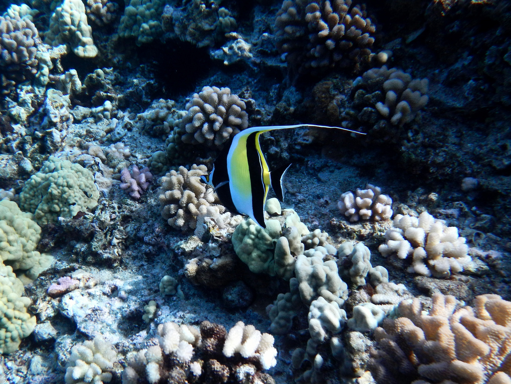
Experience the best of Maui with this itinerary, which covers everything from walking the Koloiki Ridge Trail to catching the sunrise from Wai‘anapanapa State Park to snorkeling at world-famous Ka‘anapali Beach.
Day 1
Given Hawaii’s time zone, you may wake up before dawn. Take advantage by catching sunrise at Haleakala. Allow two hours of travel from Ka‘anapali or Wailea and plan to arrive 30 minutes before sunrise. Spend an hour hiking into the crater. On your way down, have breakfast at Kula Lodge or La Provence. Spend the rest of the day relaxing poolside. Conversely, spend the day relaxing at poolside, and catch sunset at Haleakala, for a less crowded and similarly beautiful experience, possibly lingering for stargazing.
Day 2
Tackle another early-morning activity such as a snorkeling tour. Molokini tours depart from Ma‘alaea Harbor, while boats leave Ka‘anapali Beach for Olowalu or Honolua Bay. Finish by 2pm and spend the afternoon relaxing on the beach.
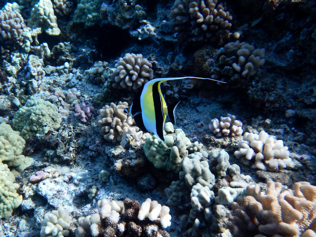
Day 3
Enjoy Lahaina, ancient capital of the Hawaiian kingdom. Schedule a surf lesson or explore the town’s historic sites. Grab lunch at Aloha Mixed Plate or Cool Cat Café. Then head north to world-famous Ka‘anapali Beach, where you can snorkel, cliff jump, play in the surf, or rent a cabana. Explore the shops in Whalers Village, dine at Hula Grill.
Day 4
Catch the 6:45am ferry to the island of Lana‘i. Book a Jeep ahead of time and spend the morning exploring. Pick a remote beach such as Polihua, Lopa, or Kaiolohia (Shipwreck Beach). Then head back to Lana‘i City for a plate lunch at Blue Ginger.
If you’d rather be hiking, call Rabaca’s for a taxi up into town and the trailhead for the Koloiki Ridge Trail. Explore Lana‘i City before catching a taxi down to Hulopo‘e Beach. Then make the short walk to Hulopo‘e Beach. Snorkel along the reef or relax in the shade with a book. Hike around the corner to the Pu‘u Pehe Overlook, keeping an eye out for the spinner dolphins. Rinse off at the beach shower, grab a drink at the Four Seasons Resort, and get back to the harbor to catch the 6:45pm ferry back to Maui.
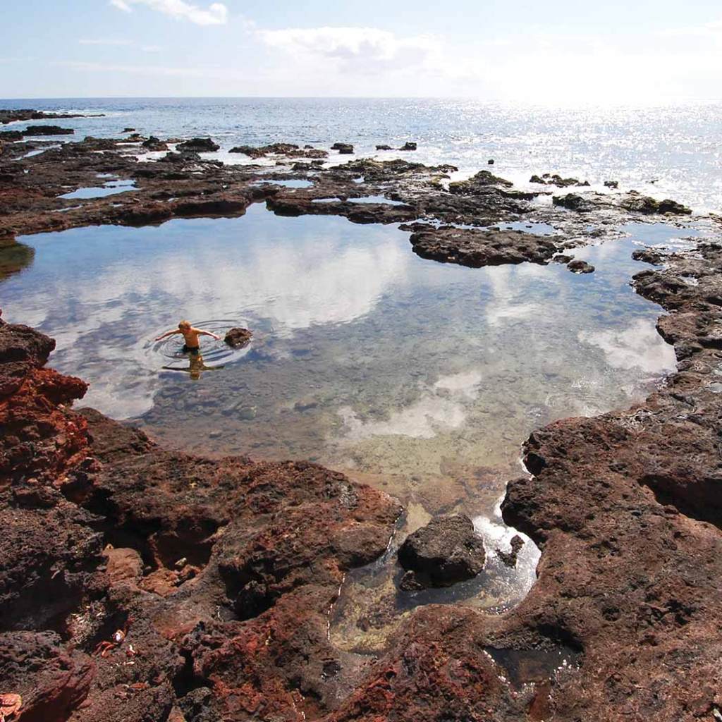
Day 5
Sleep in before grabbing a late breakfast. Those staying in West Maui should dine at The Gazebo, followed by a stroll along the Kapalua Coastal Trail. Drive to Kahakuloa, stopping on the way at the Nakalele Blowhole or the beach at Mokulei‘a Bay. If the conditions are calm and you can’t get enough snorkeling, head to Honolua Bay. End the day with happy hour at The Sea House restaurant.
If you’re staying in South Maui, brunch at Kihei Caffe before making the drive to Makena. Spend the day at Maluaka Beach, exploring to the end of the road, and walking the length of Big Beach just before sunset.
Day 6
Drive to Pa‘ia and begin the day with a stroll down Baldwin Beach, followed by breakfast at Café des Amis. Enjoy the Road to Hana at a leisurely pace, taking time to hike to Twin Falls and explore the Ke‘anae Peninsula. Check into your accommodations in Hana and enjoy sunset from Hamoa Beach.
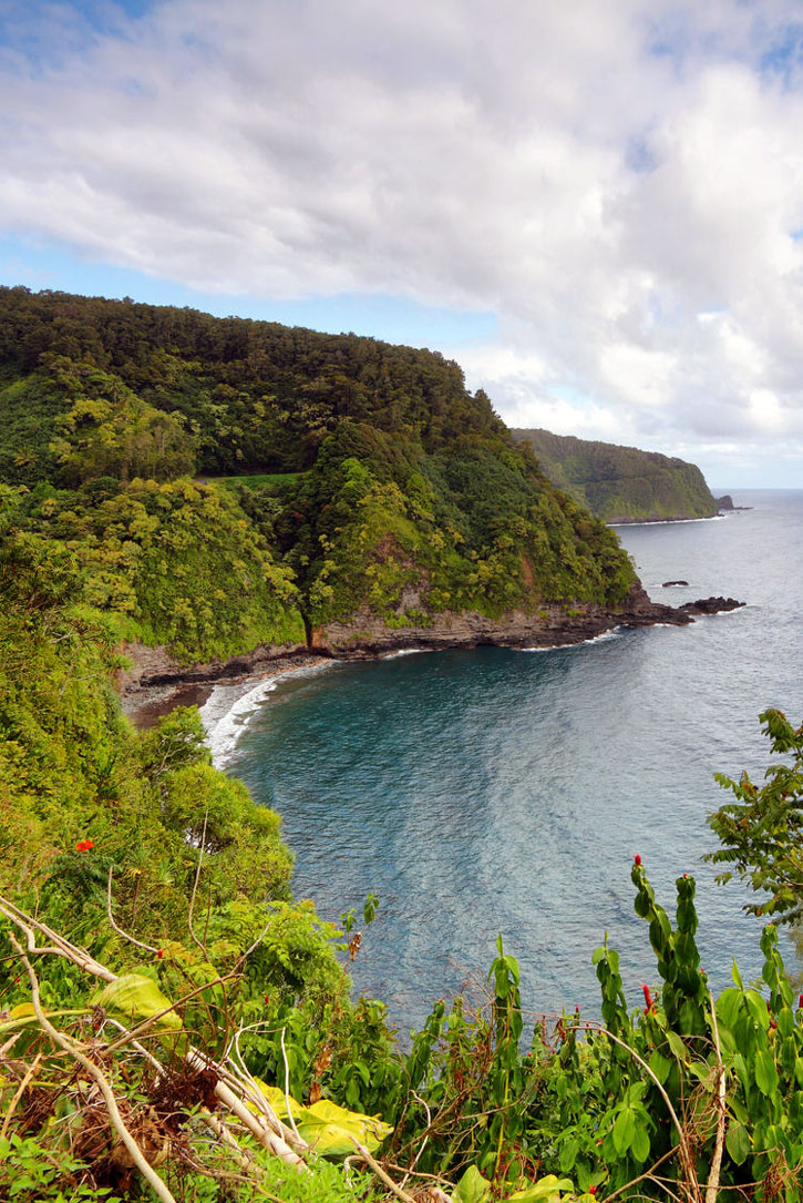
Day 7
Catch the sunrise from Wai‘anapanapa State Park. Visit the popular Pools of ‘Ohe‘o before day-trippers arrive around 11am. Spend a couple of hours exploring the pools and hiking the Pipiwai Trail. If the weather is nice, wrap around the back side of the island on the narrow and rugged “back road.” Hike to Alelele Falls, grab a cold drink at the Kaupo Store, and experience a coast that feels like the end of the earth.
Day 8
Downtime: Sleep in as late as you’d like, lounge by the pool, get a massage. Breathe deeply.
Day 9
Spend the day in rural Upcountry. Enjoy breakfast on the lanai at Grandma’s Coffee House, followed by a stroll down Thompson Road. Drive to Ulupalakua for a midday wine-tasting, and then double back the way you came to the town of Makawao for some shopping and lunch at Polli’s Mexican Restaurant. Spend the afternoon in chic Pa‘ia, although don’t linger too long: You need to make it to the Old Lahaina Luau by 5pm to celebrate your last night on the island.
Day 10
Gradually make your way toward Kahului Airport. Stop in at the Maui Ocean Center for one last glimpse of marinelife. Continuing on to Wailuku, make the short drive into ‘Iao Valley to see the famous needle. At Kanaha Beach Park, watch the windsurfers. Think about how you’ll miss Maui—and plan your next visit.
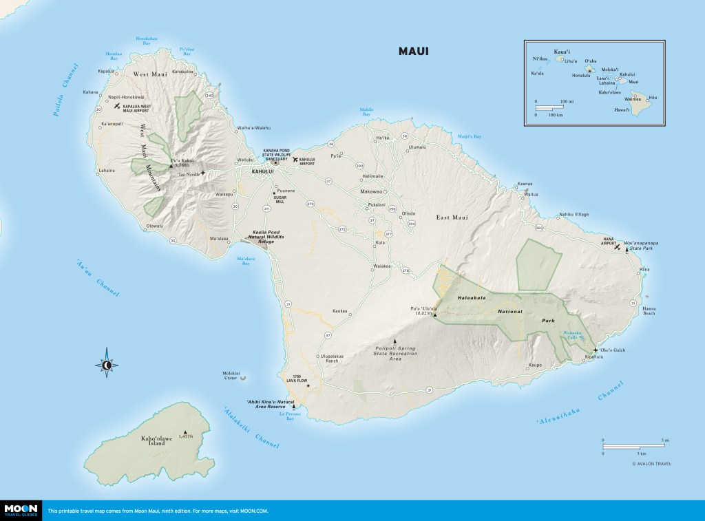
Pin for later
Explore more warm weather destinations

Experience the best of Maui with this itinerary, which covers everything from walking the Koloiki Ridge Trail to catching the sunrise from Wai‘anapanapa State Park to snorkeling at world-famous Ka‘anapali Beach.
Day 1
Given Hawaii’s time zone, you may wake up before dawn. Take advantage by catching sunrise at Haleakala. Allow two hours of travel from Ka‘anapali or Wailea and plan to arrive 30 minutes before sunrise. Spend an hour hiking into the crater. On your way down, have breakfast at Kula Lodge or La Provence. Spend the rest of the day relaxing poolside. Conversely, spend the day relaxing at poolside, and catch sunset at Haleakala, for a less crowded and similarly beautiful experience, possibly lingering for stargazing.
Day 2
Tackle another early-morning activity such as a snorkeling tour. Molokini tours depart from Ma‘alaea Harbor, while boats leave Ka‘anapali Beach for Olowalu or Honolua Bay. Finish by 2pm and spend the afternoon relaxing on the beach.

Day 3
Enjoy Lahaina, ancient capital of the Hawaiian kingdom. Schedule a surf lesson or explore the town’s historic sites. Grab lunch at Aloha Mixed Plate or Cool Cat Café. Then head north to world-famous Ka‘anapali Beach, where you can snorkel, cliff jump, play in the surf, or rent a cabana. Explore the shops in Whalers Village, dine at Hula Grill.
Day 4
Catch the 6:45am ferry to the island of Lana‘i. Book a Jeep ahead of time and spend the morning exploring. Pick a remote beach such as Polihua, Lopa, or Kaiolohia (Shipwreck Beach). Then head back to Lana‘i City for a plate lunch at Blue Ginger.
If you’d rather be hiking, call Rabaca’s for a taxi up into town and the trailhead for the Koloiki Ridge Trail. Explore Lana‘i City before catching a taxi down to Hulopo‘e Beach. Then make the short walk to Hulopo‘e Beach. Snorkel along the reef or relax in the shade with a book. Hike around the corner to the Pu‘u Pehe Overlook, keeping an eye out for the spinner dolphins. Rinse off at the beach shower, grab a drink at the Four Seasons Resort, and get back to the harbor to catch the 6:45pm ferry back to Maui.

Day 5
Sleep in before grabbing a late breakfast. Those staying in West Maui should dine at The Gazebo, followed by a stroll along the Kapalua Coastal Trail. Drive to Kahakuloa, stopping on the way at the Nakalele Blowhole or the beach at Mokulei‘a Bay. If the conditions are calm and you can’t get enough snorkeling, head to Honolua Bay. End the day with happy hour at The Sea House restaurant.
If you’re staying in South Maui, brunch at Kihei Caffe before making the drive to Makena. Spend the day at Maluaka Beach, exploring to the end of the road, and walking the length of Big Beach just before sunset.
Day 6
Drive to Pa‘ia and begin the day with a stroll down Baldwin Beach, followed by breakfast at Café des Amis. Enjoy the Road to Hana at a leisurely pace, taking time to hike to Twin Falls and explore the Ke‘anae Peninsula. Check into your accommodations in Hana and enjoy sunset from Hamoa Beach.

Day 7
Catch the sunrise from Wai‘anapanapa State Park. Visit the popular Pools of ‘Ohe‘o before day-trippers arrive around 11am. Spend a couple of hours exploring the pools and hiking the Pipiwai Trail. If the weather is nice, wrap around the back side of the island on the narrow and rugged “back road.” Hike to Alelele Falls, grab a cold drink at the Kaupo Store, and experience a coast that feels like the end of the earth.
Day 8
Downtime: Sleep in as late as you’d like, lounge by the pool, get a massage. Breathe deeply.
Day 9
Spend the day in rural Upcountry. Enjoy breakfast on the lanai at Grandma’s Coffee House, followed by a stroll down Thompson Road. Drive to Ulupalakua for a midday wine-tasting, and then double back the way you came to the town of Makawao for some shopping and lunch at Polli’s Mexican Restaurant. Spend the afternoon in chic Pa‘ia, although don’t linger too long: You need to make it to the Old Lahaina Luau by 5pm to celebrate your last night on the island.
Day 10
Gradually make your way toward Kahului Airport. Stop in at the Maui Ocean Center for one last glimpse of marinelife. Continuing on to Wailuku, make the short drive into ‘Iao Valley to see the famous needle. At Kanaha Beach Park, watch the windsurfers. Think about how you’ll miss Maui—and plan your next visit.

Pin for later

Explore more warm weather destinations
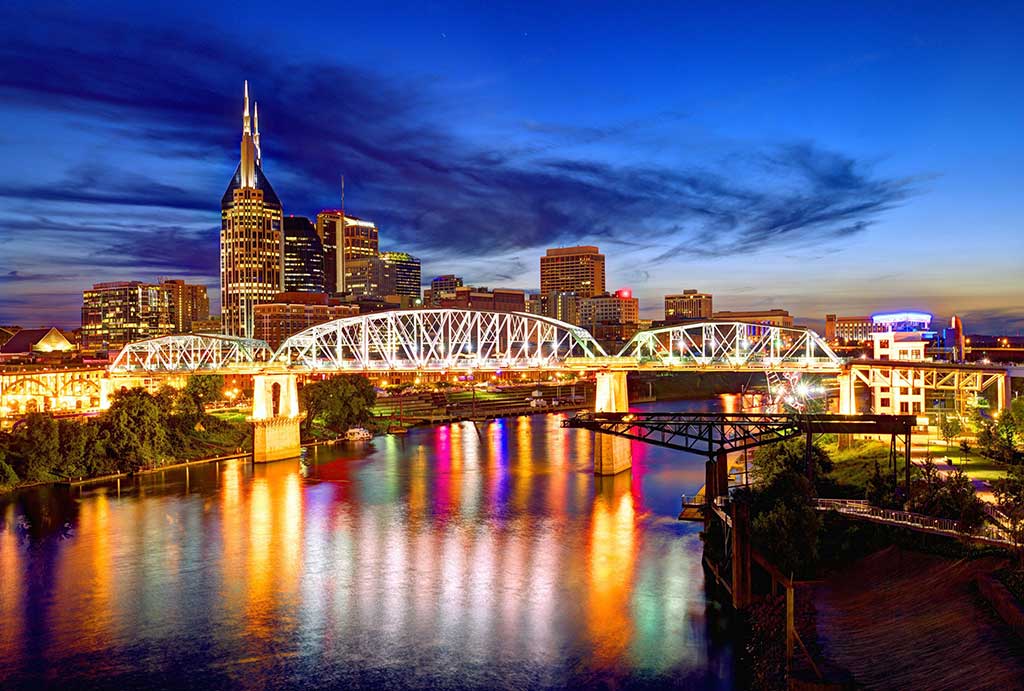
The two U.S. cities that are perhaps the best-known for their signature sounds are just two hundred miles apart. You can get from Nashville's cradle of country music to Memphis' birthplace of the blues in a speedy three hours. But we don't recommend doing it that way. The route between Nashville and Memphis is loaded with history, music, culture, and nature, and invites you to take it slow. Load up the car, download some appropriate music, and get ready for a rocking road trip.
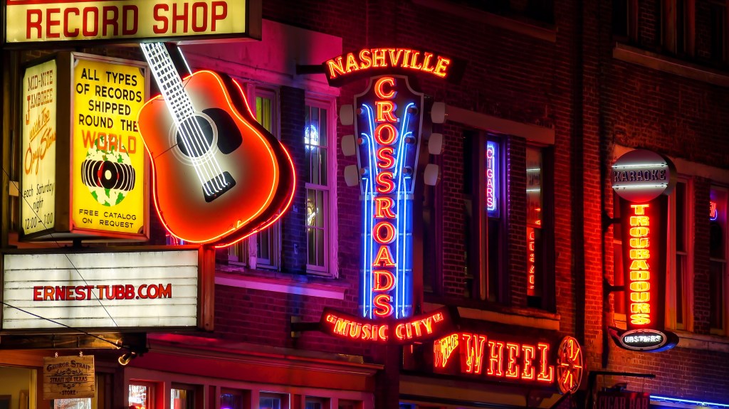
Day 1
Arrive in Nashville. Check in early to a swanky hotel, such as the historic Hermitage. Allow the exceptional staff to take your bags so you can make the most of your days unencumbered.
Set out on foot to the Civil Rights Room at the Nashville Public Library, where you'll learn about the city's role in the national movement. From there, take in the Tennessee State Capitol and then head down the hill for lunch at one of the many tasty, local choices at the Nashville Farmers Market.
You'll need a walk after enjoying the market's oven-fired pizza and butter cake: take one across the street at Bicentennial Capitol Mall State Park. After hearing the carillon bells play "The Tennessee Waltz," check out the First Horizon Park baseball stadium, and head back downtown.
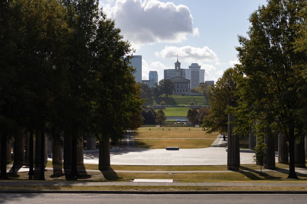
Spend the afternoon at the Country Music Hall of Fame and Museum and RCA Studio B. Grab a Goo Goo Cluster from their flagship store as you head back to the hotel to clean up for the evening.
Start the night off with drinks and dinner at Pinewood. Walk down the hill and spend the evening strolling, dancing, and drinking at Lower Broadway's honky-tonks, or check out the show playing at the Ryman Auditorium or the outdoor riverside Ascend Amphitheater.
Day 2
Hop in the car and drive through the historic Fisk University campus. Stop at both the Carl Van Vechten Gallery and the Aaron Douglas Gallery on campus.
Make your way to Arnold's Country Kitchen for a late breakfast. Standing in line with a cross section of locals and tourists will whet your appetite. Sated with biscuits, head to bucolic Centennial Park and the majestic Parthenon. The replica is striking from the outside, but take the time to go inside and see the museum and the shining gold Athena sculpture. Grab a snack from one of the many food trucks that gather in Centennial Park.
Drive through Midtown, looking at the Vanderbilt University campus and Music Row, where you might spot celebs on their way to meetings with record label executives. Near the Vanderbilt campus shoppers will enjoy the boutiques in Hillsboro Village. Grab an afternoon pick-me-up from Fido or Biscuit Love.
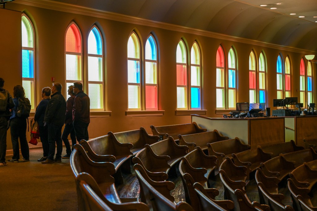
Cross the bridge into East Nashville for your evening out. Choose to dine early at Butcher & Bee, where you can have both drinks and dinner in an open, high-energy environment. Then head across the river to Music Valley to catch the Grand Ole Opry in all its grand ole glory. If you were lucky enough to catch the Opry downtown the night before, then spend a more leisurely night enjoying East Nashville's cocktails and culinary delights. Spread the love around No. 308, The 5 Spot, and Public House.
Day 3
Up and at 'em! Fuel up both yourself and your car with biscuits from Loveless Cafe and gasoline from a nearby station, and get ready to start driving part of the scenic Natchez Trace Parkway, a 444-mile trek from Nashville to Natchez, Mississippi. The Northern Terminus near Loveless is a prime photo op: the Double Arch Bridge.
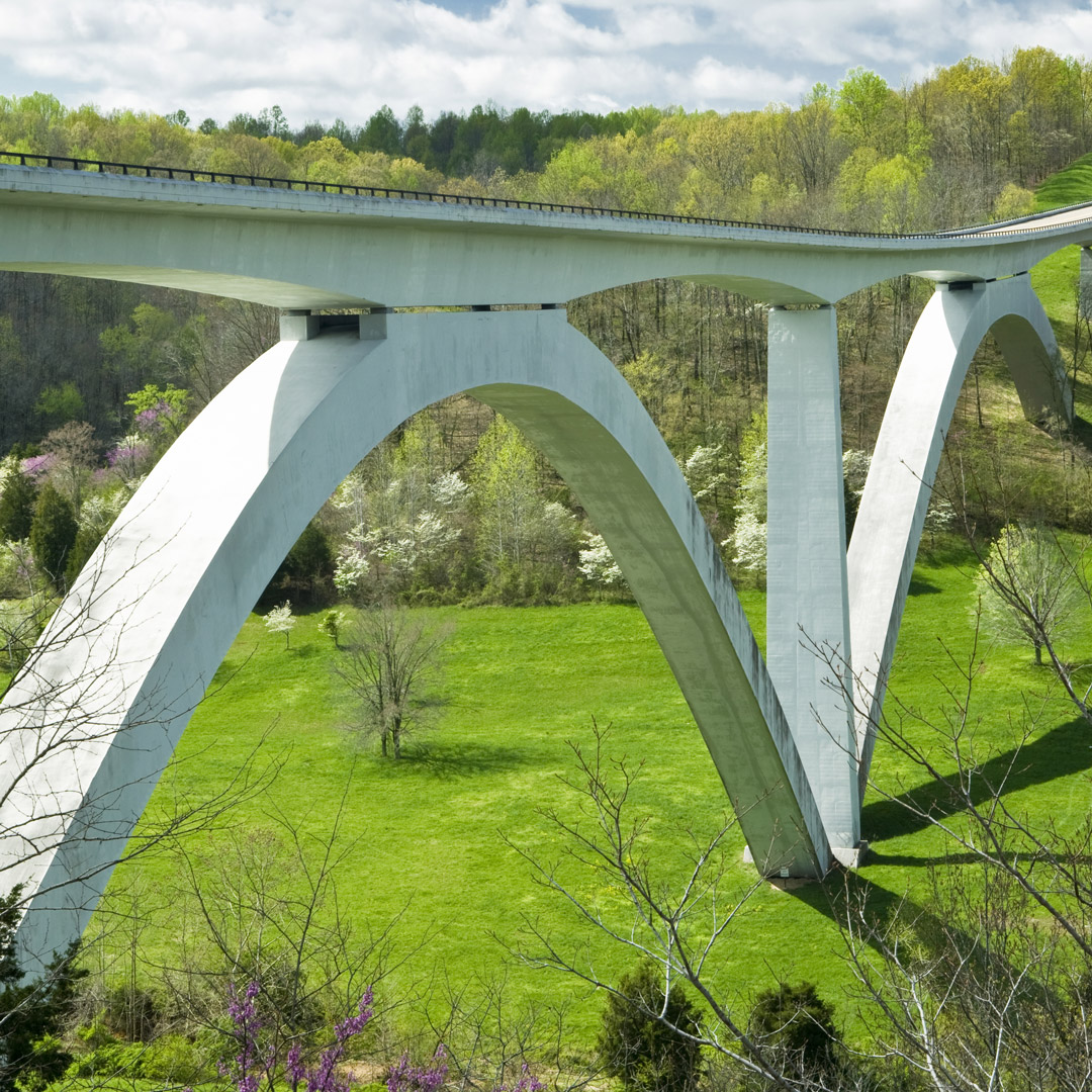
Soon after you enter the Parkway, however, you'll want to take a detour. Just 17 miles from Loveless is the charming town of Franklin, with its antique stores and charming boutiques, great restaurants, and fun entertainment options. Don't miss the tour at Carnton, where you experience Civil War history (specifically the Battle of Franklin) from an intimate vantage point.
Have dinner at The Bunganut Pig and spend the night in one of Franklin's many charming B&Bs.
Day 4
Merridee's Breadbasket will fill you up for your day on the road.
Head back to the Natchez and drive the 60 leisurely miles to the Meriwether Lewis Monument and Gravesite, a somber memorial to a man who helped the country expand. If you're a camper, you can pitch a tent and explore the area on foot. If not, head 30 miles east to Linden, where you can eat and drink at the historic Commodore Hotel, complete with a speakeasy with delicious cocktails.
Day 5
The next morning, rested and ready, backtrack 30 miles to Columbia, which is where you'll find the James K. Polk Home & Museum, the former residence of the 11th president of the United States. The charming town is chockfull of art galleries, small boutiques, and eateries. Christy's 6th Street Restaurant is great for a sit-down soul food lunch. CAB Café, inside the Columbia Arts Building, has seasonal food and a funky vibe.
Day 6
From a presidential home to that of a member of country music royalty, it's a 60-mile drive from Columbia to Hurricane Mills, the site of Loretta Lynn's Ranch. This mega site includes her house (where that famous Crisco commercial was filmed in the kitchen), campgrounds, a museum, several stores, and other attractions themed around the coal miner's daughter.
Continue heading west (72 miles) to Jackson, the largest city in between Nashville and Memphis. There's plenty of kitsch here, including the Casey Jones Historic Home and Railroad Museum, the International Rock-a-Billy Hall of Fame, and Rusty's TV and Movie Car Museum. You can grab a snack at the popular West Tennessee Farmers Market or at Diddy's Bar-B-Que.
From Jackson it is a quick 21-mile drive to Pinson Mounds State Archaeological Park, the largest Native American Middle Woodland Period mound group in the country. Explore more than 15 Native American mounds, hike on the scenic trails, and spend the night in one of the state park cabins.
Start planning your adventure today
Day 7
Make a few stops on your way toward Memphis. First up is Billy Tripp's Mindfield, just 40 miles from the state park. At first glance it looks like an electrical transformer station, but this acre of creations is a remarkable work of outsider art (that is, art produced by self-taught artists). Begun in 1989, the sculptures will continue to grow and change until Tripp's death, at which point the site will be his place of internment.
Today it stands as tall as seven stories in some places, and includes messages of optimism and open-mindedness from the artist. There's an opportunity to leave comments about your impressions of the works, which are largely made from reclaimed steel and other materials. Find the Mindfield off U.S. 70, one block away from the town square. After exploring, walk across the street to grab lunch at Mindfield Grill.
From there it is just 5 miles to Brownsville, which might look like just a sleepy gas stop off the Interstate. But the West Tennessee Delta Heritage Center is a must-see, particularly to gain an understanding of the music and history of the delta region. The Flagg Grove School, now relocated to this site, was the childhood one-room schoolhouse of Anna Mae Bullock, better known as rock icon Tina Turner. Blues great "Sleepy" John Estes' modest home is also at the site. In addition to the museums, Brownsville is the county seat of the largest cotton-producing county in Tennessee.
Drive your final 60 miles along I-40 to Memphis and check into a downtown hotel, such as the historic Peabody or the head-turning Big Cypress Lodge.
Stroll Beale Street, go treasure-hunting at A. Schwab, listen to the blues, and grab dinner in the Cooper Young neighborhood, either at Soul Fish or the Beauty Shop.
Day 8
Go to the National Civil Rights Museum in the morning, eat lunch along South Main, and then go to the Stax Museum of American Soul Music in the afternoon. Drive south to find Interstate Bar-B-Que for dinner.

Day 9
Make it Elvis Day. Start early at Graceland to avoid the crowds, but plan to spend a good chunk of the day in the museums, in the mansion, and on Elvis' plans. Then visit Sun Studio, where Elvis recorded his first hit. When you return downtown, eat a burger at Dyer's on Beale Street in memory of the King.
Day 10
Start out with the audio tour at Elmwood Cemetery (buy the CD in the office), a leisurely look at Memphis history in a bucolic, park-like setting. This is nature day, so after you are done exploring, drive east. Visit the Memphis Brooks Museum of Art, and lounge in Overton Park. Visit the Dixon and eat dinner in Cooper Young at the casual Young Avenue Deli or (if you didn't earlier in the week) the contemporary Beauty Shop.
Day 11
Head home with a head full of stories and tunes from Nashville to Memphis.
More Southern adventures await
Pin it for later


The two U.S. cities that are perhaps the best-known for their signature sounds are just two hundred miles apart. You can get from Nashville's cradle of country music to Memphis' birthplace of the blues in a speedy three hours. But we don't recommend doing it that way. The route between Nashville and Memphis is loaded with history, music, culture, and nature, and invites you to take it slow. Load up the car, download some appropriate music, and get ready for a rocking road trip.

Day 1
Arrive in Nashville. Check in early to a swanky hotel, such as the historic Hermitage. Allow the exceptional staff to take your bags so you can make the most of your days unencumbered.
Set out on foot to the Civil Rights Room at the Nashville Public Library, where you'll learn about the city's role in the national movement. From there, take in the Tennessee State Capitol and then head down the hill for lunch at one of the many tasty, local choices at the Nashville Farmers Market.
You'll need a walk after enjoying the market's oven-fired pizza and butter cake: take one across the street at Bicentennial Capitol Mall State Park. After hearing the carillon bells play "The Tennessee Waltz," check out the First Horizon Park baseball stadium, and head back downtown.

Spend the afternoon at the Country Music Hall of Fame and Museum and RCA Studio B. Grab a Goo Goo Cluster from their flagship store as you head back to the hotel to clean up for the evening.
Start the night off with drinks and dinner at Pinewood. Walk down the hill and spend the evening strolling, dancing, and drinking at Lower Broadway's honky-tonks, or check out the show playing at the Ryman Auditorium or the outdoor riverside Ascend Amphitheater.
Day 2
Hop in the car and drive through the historic Fisk University campus. Stop at both the Carl Van Vechten Gallery and the Aaron Douglas Gallery on campus.
Make your way to Arnold's Country Kitchen for a late breakfast. Standing in line with a cross section of locals and tourists will whet your appetite. Sated with biscuits, head to bucolic Centennial Park and the majestic Parthenon. The replica is striking from the outside, but take the time to go inside and see the museum and the shining gold Athena sculpture. Grab a snack from one of the many food trucks that gather in Centennial Park.
Drive through Midtown, looking at the Vanderbilt University campus and Music Row, where you might spot celebs on their way to meetings with record label executives. Near the Vanderbilt campus shoppers will enjoy the boutiques in Hillsboro Village. Grab an afternoon pick-me-up from Fido or Biscuit Love.

Cross the bridge into East Nashville for your evening out. Choose to dine early at Butcher & Bee, where you can have both drinks and dinner in an open, high-energy environment. Then head across the river to Music Valley to catch the Grand Ole Opry in all its grand ole glory. If you were lucky enough to catch the Opry downtown the night before, then spend a more leisurely night enjoying East Nashville's cocktails and culinary delights. Spread the love around No. 308, The 5 Spot, and Public House.
Day 3
Up and at 'em! Fuel up both yourself and your car with biscuits from Loveless Cafe and gasoline from a nearby station, and get ready to start driving part of the scenic Natchez Trace Parkway, a 444-mile trek from Nashville to Natchez, Mississippi. The Northern Terminus near Loveless is a prime photo op: the Double Arch Bridge.

Soon after you enter the Parkway, however, you'll want to take a detour. Just 17 miles from Loveless is the charming town of Franklin, with its antique stores and charming boutiques, great restaurants, and fun entertainment options. Don't miss the tour at Carnton, where you experience Civil War history (specifically the Battle of Franklin) from an intimate vantage point.
Have dinner at The Bunganut Pig and spend the night in one of Franklin's many charming B&Bs.
Day 4
Merridee's Breadbasket will fill you up for your day on the road.
Head back to the Natchez and drive the 60 leisurely miles to the Meriwether Lewis Monument and Gravesite, a somber memorial to a man who helped the country expand. If you're a camper, you can pitch a tent and explore the area on foot. If not, head 30 miles east to Linden, where you can eat and drink at the historic Commodore Hotel, complete with a speakeasy with delicious cocktails.
Day 5
The next morning, rested and ready, backtrack 30 miles to Columbia, which is where you'll find the James K. Polk Home & Museum, the former residence of the 11th president of the United States. The charming town is chockfull of art galleries, small boutiques, and eateries. Christy's 6th Street Restaurant is great for a sit-down soul food lunch. CAB Café, inside the Columbia Arts Building, has seasonal food and a funky vibe.
Day 6
From a presidential home to that of a member of country music royalty, it's a 60-mile drive from Columbia to Hurricane Mills, the site of Loretta Lynn's Ranch. This mega site includes her house (where that famous Crisco commercial was filmed in the kitchen), campgrounds, a museum, several stores, and other attractions themed around the coal miner's daughter.
Continue heading west (72 miles) to Jackson, the largest city in between Nashville and Memphis. There's plenty of kitsch here, including the Casey Jones Historic Home and Railroad Museum, the International Rock-a-Billy Hall of Fame, and Rusty's TV and Movie Car Museum. You can grab a snack at the popular West Tennessee Farmers Market or at Diddy's Bar-B-Que.
From Jackson it is a quick 21-mile drive to Pinson Mounds State Archaeological Park, the largest Native American Middle Woodland Period mound group in the country. Explore more than 15 Native American mounds, hike on the scenic trails, and spend the night in one of the state park cabins.
Start planning your adventure today
Day 7
Make a few stops on your way toward Memphis. First up is Billy Tripp's Mindfield, just 40 miles from the state park. At first glance it looks like an electrical transformer station, but this acre of creations is a remarkable work of outsider art (that is, art produced by self-taught artists). Begun in 1989, the sculptures will continue to grow and change until Tripp's death, at which point the site will be his place of internment.
Today it stands as tall as seven stories in some places, and includes messages of optimism and open-mindedness from the artist. There's an opportunity to leave comments about your impressions of the works, which are largely made from reclaimed steel and other materials. Find the Mindfield off U.S. 70, one block away from the town square. After exploring, walk across the street to grab lunch at Mindfield Grill.
From there it is just 5 miles to Brownsville, which might look like just a sleepy gas stop off the Interstate. But the West Tennessee Delta Heritage Center is a must-see, particularly to gain an understanding of the music and history of the delta region. The Flagg Grove School, now relocated to this site, was the childhood one-room schoolhouse of Anna Mae Bullock, better known as rock icon Tina Turner. Blues great "Sleepy" John Estes' modest home is also at the site. In addition to the museums, Brownsville is the county seat of the largest cotton-producing county in Tennessee.
Drive your final 60 miles along I-40 to Memphis and check into a downtown hotel, such as the historic Peabody or the head-turning Big Cypress Lodge.
Stroll Beale Street, go treasure-hunting at A. Schwab, listen to the blues, and grab dinner in the Cooper Young neighborhood, either at Soul Fish or the Beauty Shop.
Day 8
Go to the National Civil Rights Museum in the morning, eat lunch along South Main, and then go to the Stax Museum of American Soul Music in the afternoon. Drive south to find Interstate Bar-B-Que for dinner.

Day 9
Make it Elvis Day. Start early at Graceland to avoid the crowds, but plan to spend a good chunk of the day in the museums, in the mansion, and on Elvis' plans. Then visit Sun Studio, where Elvis recorded his first hit. When you return downtown, eat a burger at Dyer's on Beale Street in memory of the King.
Day 10
Start out with the audio tour at Elmwood Cemetery (buy the CD in the office), a leisurely look at Memphis history in a bucolic, park-like setting. This is nature day, so after you are done exploring, drive east. Visit the Memphis Brooks Museum of Art, and lounge in Overton Park. Visit the Dixon and eat dinner in Cooper Young at the casual Young Avenue Deli or (if you didn't earlier in the week) the contemporary Beauty Shop.
Day 11
Head home with a head full of stories and tunes from Nashville to Memphis.
More Southern adventures await
Pin it for later


For a place to escape and commune with the serenity of nature, channel your inner Emerson or Thoreau, and meditate up in the mists, get a 4WD vehicle and head to Polipoli Spring State Recreation Area, an out-of-the-way forested spot with some of the island’s best hiking. Trails pass through old-growth redwoods, eucalyptus, ash, and pines. Be sure to wear bright colors, since hunters are frequently in the area.
After ascending the switchbacking pasture-lined road that continues up from the lavender farm, the first hike is the Waiakoa Loop Trail, which begins by the hunters check-in station. The trailhead technically doesn’t begin for 0.75 mile down the hunting access road, but if you don’t have a 4WD vehicle, it’s better to park at the hunters station and walk to the trailhead. Once you’re here, a three-mile loop with a moderate elevation change of 400 feet passes through lowland brush and pines.
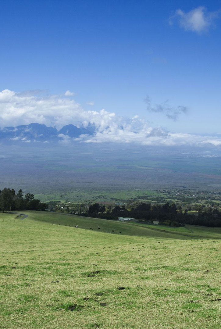
Farther up the road, just past the cattle guard where the road eventually turns to dirt, you’ll find the trailhead for the Boundary Trail, a 4.4-mile one-way trail that descends to the lower fence line. This trail offers sweeping views of South Maui, and since it’s 1,000 vertical feet lower than other trails, it won’t leave you as winded. It can either be done as an out-and-back hike or combined with other trails as a loop. The shortest loop is up the Lower Waiohuli Trail, which intersects the Boundary Trail at the 2.6-mile mark. Turning left on the Lower Waiohuli Trail, it’s 1.4 miles back uphill to the main road, then a 2.5-mile trek back along the dirt road to your car.
If seven miles seems too far, most of the shorter walks in Polipoli begin and end at the campground. While some are only a mile long, the best hike in the park for first-time visitors is the 5.3-mile loop trail formed by connecting the Haleakala Ridge Trail, Polipoli Trail, Redwood Trail, and Plum Trail. Driving all the way to the campground requires a 4WD vehicle.
It’s possible to hike all the way from Polipoli to the summit of Haleakala. Follow the 6.8-mile dirt road, known as Skyline Drive, a “back entrance” to Haleakala National Park. If it has snowed recently atop Haleakala and the rangers have closed the road, this is an alternative way to hike into the park and be the only person there.
Even on regular days, however, Skyline is a strenuous hike providing panoramic views down the mountain’s southwest rift zone. Though Haleakala has been dormant for more than 220 years, volcanologists claim that when the mountain erupts again, magma will cover the barren landscape that’s visible from this trail. To reach the trailhead for Skyline Drive, turn left at the fork that leads down to the campground from the main dirt road. From here, the road continues climbing and begins to double back toward the north, along the way passing the trailhead for the 1.8-mile Mamane Trail. Eventually you’ll reach a locked gate at an area known as the Ballpark (7,000 feet). From here it’s a 3,000-vertical-foot switchbacking trail to the summit. Pack plenty of water and warm clothing, and be aware of the challenges of hiking at altitude.
]]>

For a place to escape and commune with the serenity of nature, channel your inner Emerson or Thoreau, and meditate up in the mists, get a 4WD vehicle and head to Polipoli Spring State Recreation Area, an out-of-the-way forested spot with some of the island’s best hiking. Trails pass through old-growth redwoods, eucalyptus, ash, and pines. Be sure to wear bright colors, since hunters are frequently in the area.
After ascending the switchbacking pasture-lined road that continues up from the lavender farm, the first hike is the Waiakoa Loop Trail, which begins by the hunters check-in station. The trailhead technically doesn’t begin for 0.75 mile down the hunting access road, but if you don’t have a 4WD vehicle, it’s better to park at the hunters station and walk to the trailhead. Once you’re here, a three-mile loop with a moderate elevation change of 400 feet passes through lowland brush and pines.

Farther up the road, just past the cattle guard where the road eventually turns to dirt, you’ll find the trailhead for the Boundary Trail, a 4.4-mile one-way trail that descends to the lower fence line. This trail offers sweeping views of South Maui, and since it’s 1,000 vertical feet lower than other trails, it won’t leave you as winded. It can either be done as an out-and-back hike or combined with other trails as a loop. The shortest loop is up the Lower Waiohuli Trail, which intersects the Boundary Trail at the 2.6-mile mark. Turning left on the Lower Waiohuli Trail, it’s 1.4 miles back uphill to the main road, then a 2.5-mile trek back along the dirt road to your car.
If seven miles seems too far, most of the shorter walks in Polipoli begin and end at the campground. While some are only a mile long, the best hike in the park for first-time visitors is the 5.3-mile loop trail formed by connecting the Haleakala Ridge Trail, Polipoli Trail, Redwood Trail, and Plum Trail. Driving all the way to the campground requires a 4WD vehicle.
It’s possible to hike all the way from Polipoli to the summit of Haleakala. Follow the 6.8-mile dirt road, known as Skyline Drive, a “back entrance” to Haleakala National Park. If it has snowed recently atop Haleakala and the rangers have closed the road, this is an alternative way to hike into the park and be the only person there.
Even on regular days, however, Skyline is a strenuous hike providing panoramic views down the mountain’s southwest rift zone. Though Haleakala has been dormant for more than 220 years, volcanologists claim that when the mountain erupts again, magma will cover the barren landscape that’s visible from this trail. To reach the trailhead for Skyline Drive, turn left at the fork that leads down to the campground from the main dirt road. From here, the road continues climbing and begins to double back toward the north, along the way passing the trailhead for the 1.8-mile Mamane Trail. Eventually you’ll reach a locked gate at an area known as the Ballpark (7,000 feet). From here it’s a 3,000-vertical-foot switchbacking trail to the summit. Pack plenty of water and warm clothing, and be aware of the challenges of hiking at altitude.
]]>
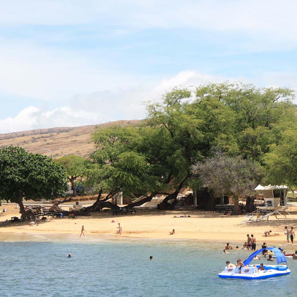
I was several months pregnant and already imagining where I’d visit with my newborn son when the proofs for the latest edition of the Moon Big Island of Hawai‘i guidebook arrived. As a travel writer, my reviews are subjective in part based on my personal preferences and experiences of a place. I always bring someone else with me to a hotel or a restaurant or a beach for a second (or third) viewpoint, and take every opportunity to ask other locals and visitors their opinions as a way to achieve what academics call “data saturation”—when the researcher begins to get the same responses over and over again.
In my guidebook, I make lots of suggestions about places that are keiki-friendly (the Hawaiian word for child) and even kid-fun, but until recently I hadn’t seen those places through the lens of a parent with a five-month-old baby. My recommendations haven’t changed, but now I better understand what makes a place baby-friendly and what makes for a rough afternoon for the parent.
Kid-Friendly Beaches
I’ve brought tents to the beach, umbrellas, and even made a fort—but the best solution to keeping your little one out of the sun is a beach with lots of big trees.
My top choice for a beach that offers lots of shade and shallow water is Richardson Beach in Hilo. I’ve spent hours sitting on this quaint beach overlooking Hilo Bay without breaking a sweat (a definite perk for breastfeeding moms).
On the Kona side of the island, Spencer Beach Park offers large covered seating areas as well as a grassy area in case you’re trying actively to keep your keiki from eating sand.
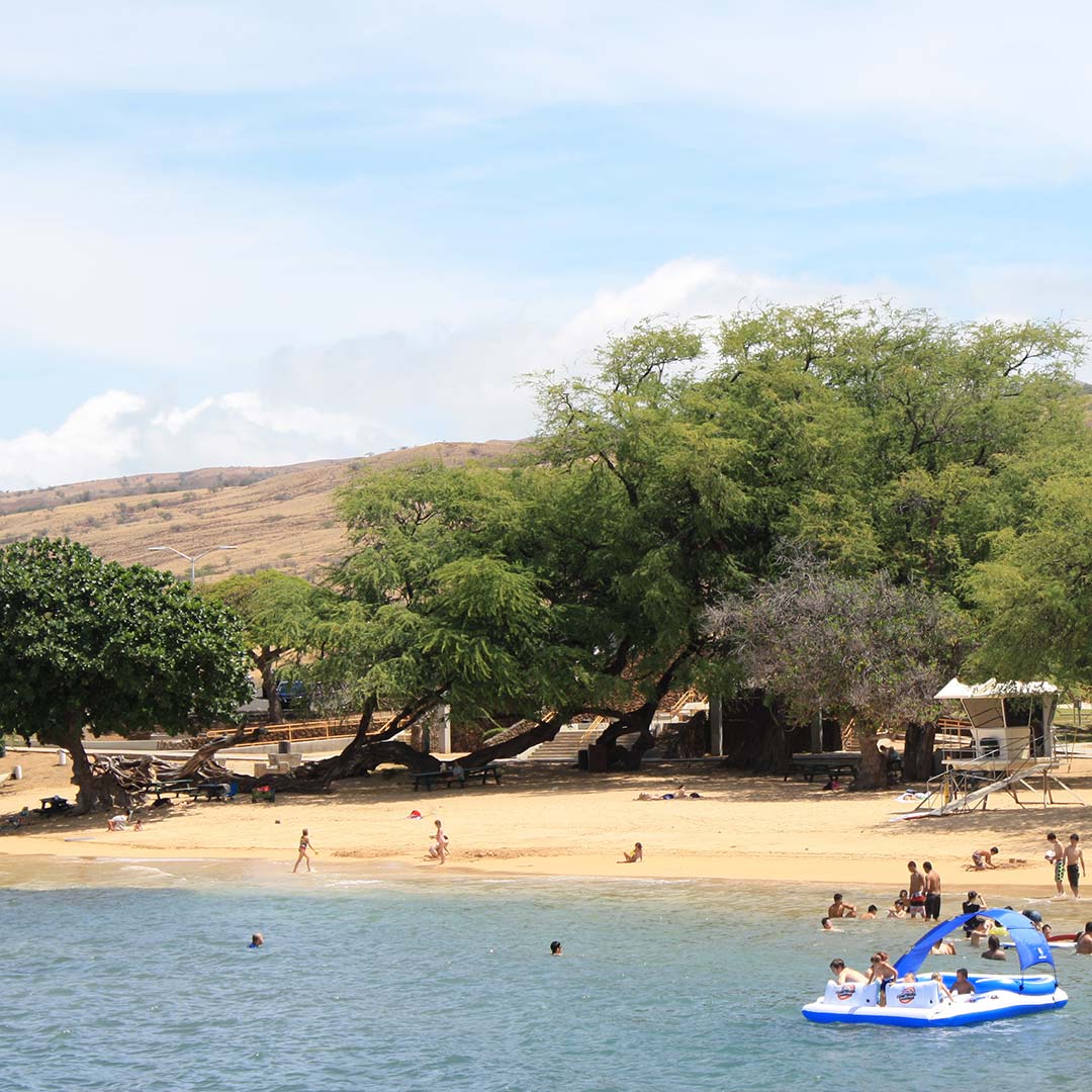
Best Bet for Hiking
For the most part, strollers won’t work on Big Island trails thanks to the beautiful uneven lava that makes up most of the island. If you're a baby-wearing caregiver, a good option for a hike is Kilauea Iki trail in Hawai‘i Volcanoes National Park. It takes between two and three hours (a good length for a breastfeeding mom) and at least half the trail has shade.
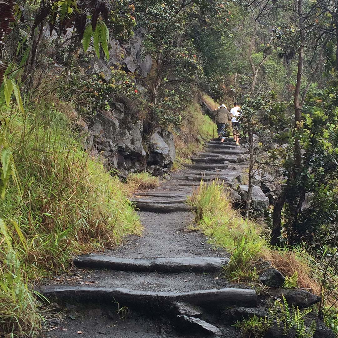
Dining Out with Kids
If you're like me, you spend a lot of time during a meal pushing a stroller back and forth to ensure your sleeping baby stays asleep. Some restaurants on the Big Island are very small with tables only for a few people, which isn't very stroller-friendly.
Look for restaurants with large outdoor eating areas that are perfect for fussy babies and parents who have to take turns getting up with the baby during the meal. Kona Brewing Company is an ideal spot: it’s loud and has lots of outdoor space. Likewise, Daylight Mind Coffee Company in Waikoloa serves lunch and dinner and provides a lot of outdoor space for comforting your keiki.
Family Accommodations
If you like staying at bed and breakfasts, check before you book to see if they allow babies. Some might allow babies, but not younger kids (who can run around and break things) and asking the owner if they have a portable crib or other items can save you some room in your suitcase.
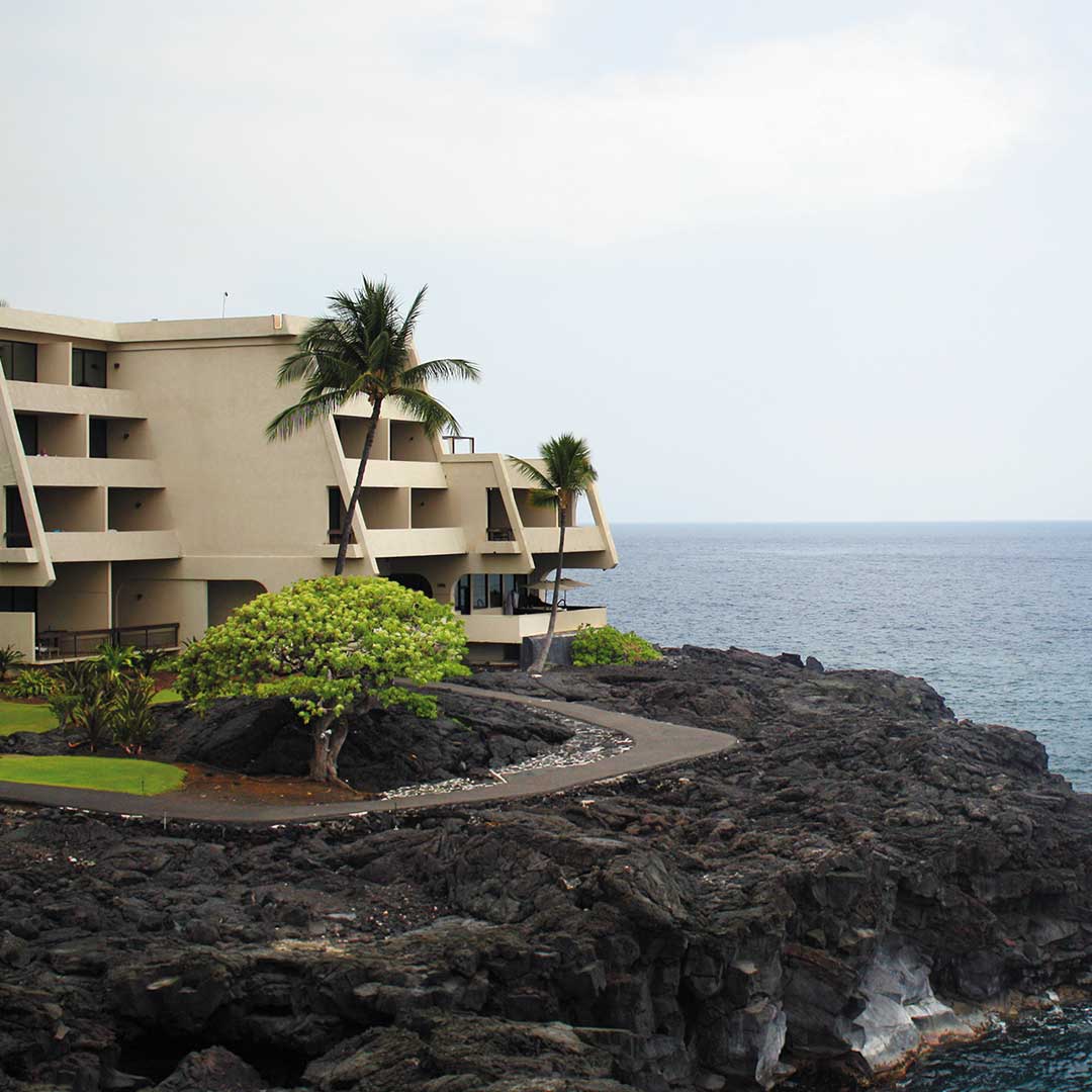
Both the Hilton Waikoloa Village and the Sheraton in Keauhou Bay with their waterslides are meccas for kids, but these kid-saturated establishments might not work for all families looking for a quieter getaway. A condo rental, like Hali‘i Kai at Waikoloa presents a good option for families who like to have a kitchen, and extra bedrooms for the keiki you’re trying to sleep-train out of your bed.
Plan your Hawaii trip
Pin it for later

I was several months pregnant and already imagining where I’d visit with my newborn son when the proofs for the latest edition of the Moon Big Island of Hawai‘i guidebook arrived. As a travel writer, my reviews are subjective in part based on my personal preferences and experiences of a place. I always bring someone else with me to a hotel or a restaurant or a beach for a second (or third) viewpoint, and take every opportunity to ask other locals and visitors their opinions as a way to achieve what academics call “data saturation”—when the researcher begins to get the same responses over and over again.
In my guidebook, I make lots of suggestions about places that are keiki-friendly (the Hawaiian word for child) and even kid-fun, but until recently I hadn’t seen those places through the lens of a parent with a five-month-old baby. My recommendations haven’t changed, but now I better understand what makes a place baby-friendly and what makes for a rough afternoon for the parent.
Kid-Friendly Beaches
I’ve brought tents to the beach, umbrellas, and even made a fort—but the best solution to keeping your little one out of the sun is a beach with lots of big trees.
My top choice for a beach that offers lots of shade and shallow water is Richardson Beach in Hilo. I’ve spent hours sitting on this quaint beach overlooking Hilo Bay without breaking a sweat (a definite perk for breastfeeding moms).
On the Kona side of the island, Spencer Beach Park offers large covered seating areas as well as a grassy area in case you’re trying actively to keep your keiki from eating sand.

Best Bet for Hiking
For the most part, strollers won’t work on Big Island trails thanks to the beautiful uneven lava that makes up most of the island. If you're a baby-wearing caregiver, a good option for a hike is Kilauea Iki trail in Hawai‘i Volcanoes National Park. It takes between two and three hours (a good length for a breastfeeding mom) and at least half the trail has shade.

Dining Out with Kids
If you're like me, you spend a lot of time during a meal pushing a stroller back and forth to ensure your sleeping baby stays asleep. Some restaurants on the Big Island are very small with tables only for a few people, which isn't very stroller-friendly.
Look for restaurants with large outdoor eating areas that are perfect for fussy babies and parents who have to take turns getting up with the baby during the meal. Kona Brewing Company is an ideal spot: it’s loud and has lots of outdoor space. Likewise, Daylight Mind Coffee Company in Waikoloa serves lunch and dinner and provides a lot of outdoor space for comforting your keiki.
Family Accommodations
If you like staying at bed and breakfasts, check before you book to see if they allow babies. Some might allow babies, but not younger kids (who can run around and break things) and asking the owner if they have a portable crib or other items can save you some room in your suitcase.

Both the Hilton Waikoloa Village and the Sheraton in Keauhou Bay with their waterslides are meccas for kids, but these kid-saturated establishments might not work for all families looking for a quieter getaway. A condo rental, like Hali‘i Kai at Waikoloa presents a good option for families who like to have a kitchen, and extra bedrooms for the keiki you’re trying to sleep-train out of your bed.
Plan your Hawaii trip
Pin it for later

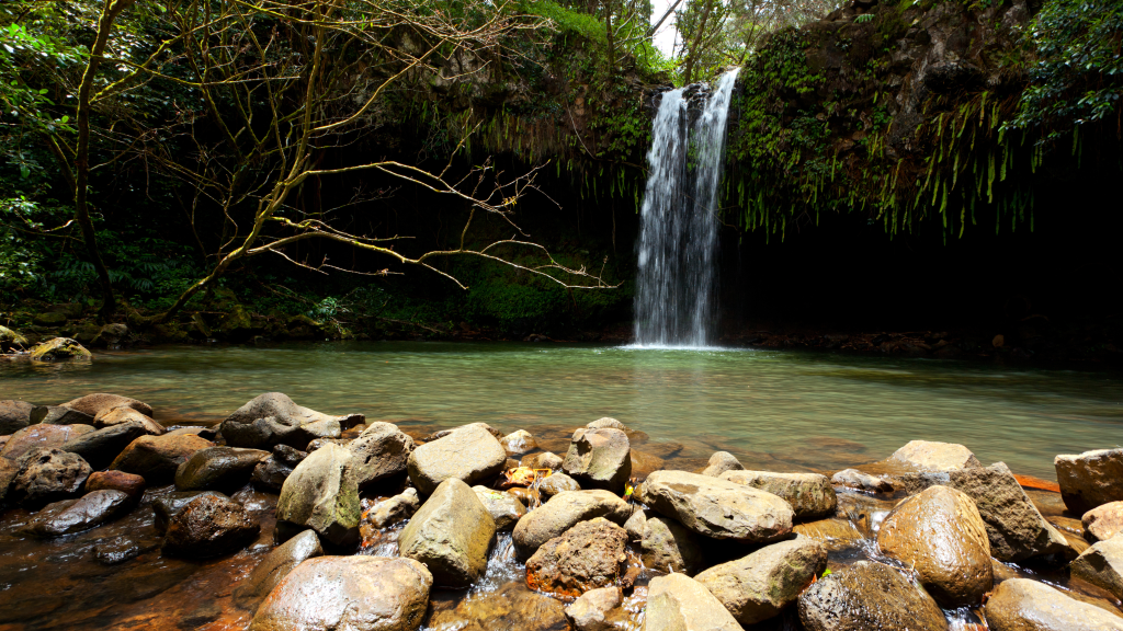

At mile marker 2 (11.4 miles past Pa‘ia), Twin Falls is one of the easiest and shortest waterfall hikes you’ll find in East Maui. It’s also the first series of waterfalls you’ll encounter on the Road to Hana. Since much of the area weaves through private homes (respect the Kapu, or “Keep Out” signs on driveways), most of the “trail” is a gravel road that is wide and easy for strolling. Although there are a few spots where the footing can be tricky, this is the perfect choice for anyone looking for a “tame” walk into the jungle.
An outdoor playground peppered with waterfalls, the only downside about Twin Falls is that it’s far from being a secret. During the midmorning hours as visitors make their way toward Hana, there can be well over 50 cars parked along the side of the road, and it’s safe to say that you won’t have the waterfalls to yourself. If you would prefer to visit without the crowds, you can either stop on your drive back from Hana, visit really early before everyone else has arrived, or make a separate trip out here in the late afternoon. Regardless of when you visit, bring mosquito repellent.
Although there are myriad waterfalls at Twin Falls, the two main ones are most accessible for visitors. For exploration into the hinterlands of the rainforest, Hike Maui offers an informative guided tour. For casual visitors, however, the 1.3-mile trail begins in the gravel parking lot and makes its way through a small gate in a lush and forested orchard area. There are port-a-potties on the right side of the trail, and visitors are encouraged to leave a donation for their maintenance and upkeep.
After five minutes of walking along the gravel road, you’ll hear some waterfalls off to your left. While these are nice for a quick photo, the main waterfalls are still farther down the trail. After 10 minutes of walking, you’ll come to a stream crossing that can flood during periods of high rain. If the water appears to be rushing violently, it’s best to turn around. Five minutes past the stream crossing, you’ll come to a three-way fork in the road. Go straight. After five more minutes you’ll come to another fork, where the trail to your left has a wooden plank crossing over a small stream. Go straight, and after two minutes of clambering around an irrigation flume, you’ll reach a waterfall that has a small pool for swimming. While this waterfall is nice enough, there’s a second waterfall known as Caveman that is far more dramatic, although it can be a little tougher to reach.
To get to Caveman, turn around and go back to the fork in the trail where there was the wooden plank. Cross over the wooden plank, ascend a small hill, take the fork to the left, and then a take a right 50 yards later. You’ll now find yourself walking downhill, and a few minutes later you’ll reach a concrete irrigation structure with steps leading up and over it. From here you’ll begin to see the waterfall in the distance, although to reach the base of the falls you must wade across a stream that is usually about knee-deep. If the stream is manageable, a short scramble past it will bring you to a cavernous waterfall begging you to take your photo behind it. Since the water isn’t clear enough to see the bottom, don’t even think about jumping off the top.
Adjacent to the pool at Caveman you’ll notice a thin trail which switchbacks its way up the hill. Following this trail will bring you to more pools and waterfalls, although since it’s easy to get lost back here it’s best to have a guide if you plan on venturing any farther. On your way out from Caveman, after you climb up and over the irrigation structure and ascend the hill, by following the trail to the right when it forks you’ll end up at the three-way fork in the trail you originally encountered on your walk in, ultimately having done a full loop. From here it’s a short walk back to the parking lot and the rest of East Maui’s treasures.
]]>
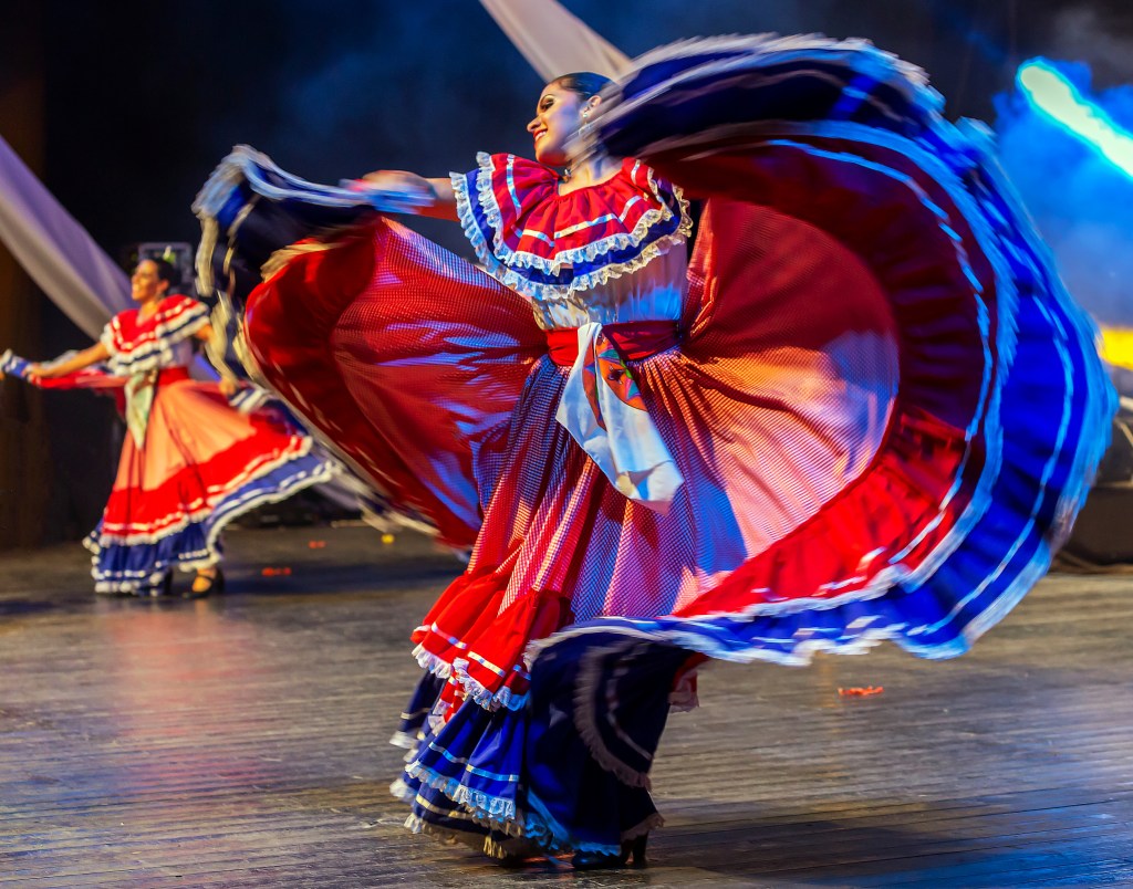

More than one observer has noted the similarities between Asian and Latin American cultures: Both emphasize social harmony and saving face. To North Americans, who often value honesty above harmony, the Costa Rican method of preserving accord and personal honor can sometimes look a lot like lying. Ticos don’t much like our version of honesty, however, thinking it clumsy and rude.
What you see here is not what you get. Ticos are known as “icebergs” because often only a fraction of their true selves is visible; it’s easy to crash into the 95 percent hidden beneath the surface. The smiling exterior of a Tico acquaintance might conceal many things. Attempts to set things straight—to speak perhaps uncomfortable truths for the good of the relationship—don’t find much favor in this culture.
Things do get communicated, but to the uninitiated, the language might as well be code. In the rare instances I manage—with the help of locals—to gain insight into problematic situations, from giving the wrong gift at a child’s birthday party to the proper way to issue dinner invitations, I hear comments like, “I thought you knew,” or “But wasn’t it obvious?”
No, it wasn’t obvious. When you’re new to a culture, what’s obvious to natives is not obvious to you. One consolation is that you’re expanding your awareness of your own assumptions as well as opening your eyes to the fact that there are dozens of ways in this world to solve the same problem. Keen observation, good will, and a boundless sense of the absurd will serve you well as you adapt to your new environment. The process brings unexpected gifts of self-knowledge as you discover what parts of yourself you’re willing and able to change, and which are more bedrock aspects of your character. If all else fails, remember the old saying: What doesn’t kill you makes you stronger.
Start planning your adventure
Personal Space
You’re on a crowded bus, and you’ve been lucky enough to get a seat. In the press of bodies, the señorita in the aisle has her ample behind smashed up against your shoulder, the kid in the seat behind you is playing with your hair, and a man leans over, a few inches from your face, to open the window. No one says “perdón”; no one even glances your way to acknowledge that they are—by North American standards, at least—making serious incursions into your personal space.
Whether you think this normal, charmingly different, or downright rude will depend on your culture and upbringing. It’s one of my pet peeves, in part because my response to it is so very physical. I can explain away other cultural differences, but this one makes me feel like a dog with her hackles up. A local told me to think of it as a sort of compliment—a collective hug, welcoming me to the extended family.
This reduced margin can also be seen in the way Ticos drive. Costa Ricans pull out into traffic that would give North Americans pause, pass even if a truck is bearing down from the other direction, and cut off cars so closely you’re amazed that there aren’t even more accidents.
Early (and Noisy) Risers
Most Ticos are up before six in the morning, and they aren’t tiptoeing around, trying not to wake the gringos who sleep till eight. Señoras bang pots, kids squeal, and the buses that pick up schoolchildren honk at every door. Construction crews hammer away, leaf blowers are turned on high, and even the birds get up early to contribute to the racket.
If you can’t fight them (and you can’t), you may as well join them. You will be much, much happier if you adjust to Tico hours, which means getting up with the sun and going to bed as early as 9pm. Out in the country there’s little to do at night, and even in cities things are usually quiet by midnight. After the adjustment period you may even find that you really like being up for the sunrise.
More adventures await


LGBTQ life in Costa Rica is fairly similar to life in the U.S. in that it varies from region to region, city to city, even neighborhood to neighborhood. Legally speaking, homosexual activity is not a crime between consenting adults (over age 18), and there have been court rulings prohibiting police raids and harassment at gay locales.

Costa Rica. Photo © MadriCR, licensed Creative Commons Attribution.
San José is known as a gay-friendly city. There are many openly gay bars in town, lots of gay-friendly restaurants and guesthouses, and in 2003 the city organized its first gay pride festival. One speaker at the festival joyfully proclaimed that Costa Rica had come out of the closet, but it’s clear that most gay Ticos still live a fairly closeted life, especially if they are in positions of power.
Guides to gay Costa Rica stress that the country is a fairly tolerant place as long as you’re not “openly affectionate” in public. Gay men, by the way, are far more visible than gay women, and there is a big trans community, with cross-dressing sex workers much in evidence along some downtown streets.
“Being gay in Costa Rica is really a nonissue,” counters Scott Pralinsky, who came to Costa Rica in early 2004. “Most people here, both Ticos and expats, are very discreet about their sexuality. But we [he and his boyfriend] certainly don’t hide anything and have never run into any kind of friction. I feel more comfortable in Costa Rica being myself than in most places I’ve lived in the U.S.”
Around the country there are pockets of openly gay culture; Manuel Antonio (near Quepos, on the Pacific coast) is one of the best known. In general, though, outside of the Central Valley, more traditional mores hold sway, and gay individuals should be as aware as they’d be in the less-tolerant areas of their own countries.
Start planning your adventure today
More adventures await


LGBTQ life in Costa Rica is fairly similar to life in the U.S. in that it varies from region to region, city to city, even neighborhood to neighborhood. Legally speaking, homosexual activity is not a crime between consenting adults (over age 18), and there have been court rulings prohibiting police raids and harassment at gay locales.

Costa Rica. Photo © MadriCR, licensed Creative Commons Attribution.
San José is known as a gay-friendly city. There are many openly gay bars in town, lots of gay-friendly restaurants and guesthouses, and in 2003 the city organized its first gay pride festival. One speaker at the festival joyfully proclaimed that Costa Rica had come out of the closet, but it’s clear that most gay Ticos still live a fairly closeted life, especially if they are in positions of power.
Guides to gay Costa Rica stress that the country is a fairly tolerant place as long as you’re not “openly affectionate” in public. Gay men, by the way, are far more visible than gay women, and there is a big trans community, with cross-dressing sex workers much in evidence along some downtown streets.
“Being gay in Costa Rica is really a nonissue,” counters Scott Pralinsky, who came to Costa Rica in early 2004. “Most people here, both Ticos and expats, are very discreet about their sexuality. But we [he and his boyfriend] certainly don’t hide anything and have never run into any kind of friction. I feel more comfortable in Costa Rica being myself than in most places I’ve lived in the U.S.”
Around the country there are pockets of openly gay culture; Manuel Antonio (near Quepos, on the Pacific coast) is one of the best known. In general, though, outside of the Central Valley, more traditional mores hold sway, and gay individuals should be as aware as they’d be in the less-tolerant areas of their own countries.
Start planning your adventure today
More adventures await

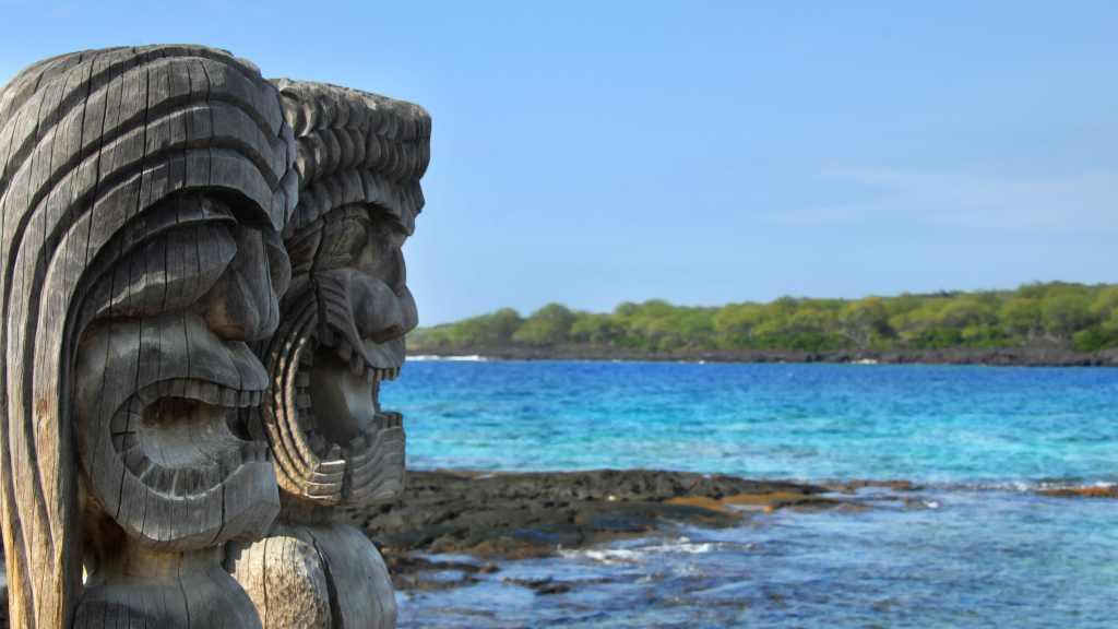
Nowhere else on Earth can you find such a kaleidoscopic mixture of people as in Hawaii. More than 50 ethnic groups are represented throughout the islands, making Hawaii the most racially integrated state in the country. Ethnic breakdowns for the state include 25.3 percent Hawaiian/part Hawaiian, 20.5 percent Caucasian, 18.4 percent Japanese, 10 percent Filipino, 8.9 percent Hispanic/Latino, and 4.2 percent Chinese.
Ni‘ihau, a privately owned island, is home to about 160 pure-blooded Hawaiians, representing the largest concentration of Hawaiians, per capita, in the islands. The Robinson family, which owns the island, restricts visitors to invited guests only. The second largest concentration is on Moloka‘i, where 2,700 Hawaiians, living mostly on a 40-acre kuleana of Hawaiian Home Lands, make up 40 percent of that island’s population. The majority of mixed-blood Hawaiians, 240,000 or so, live on O‘ahu, where they are particularly strong in the hotel and entertainment fields.
Native Hawaiians
When Captain Cook first sighted Hawaii in 1778, there were an estimated 300,000 natives living in relative harmony with their ecological surroundings; within 100 years a scant 50,000 Hawaiians remained. Today, although more than 240,000 people claim varying degrees of Hawaiian blood, experts say that fewer than 1,000 are pure Hawaiian.
Ancient Hawaiian society was divided into rankings by a strict caste system determined by birth, and from which there was no chance of escaping. The highest rank was the ali‘ i, the chiefs and royalty. The impeccable genealogies of the ali‘ i were traced back to the gods themselves, and the chants (mo‘o ali‘ i) were memorized and sung by a rank of a ali‘ i called ku‘auhau. Ranking passed from both father and mother, and custom dictated that the first mating of an ali‘ i be with a person of equal status.
A kahuna was a highly skilled person whose advice was sought before any major project was undertaken, such as building a house, hollowing a canoe log, or even offering a prayer. The mo‘o kahuna were the priests of Ku and Lono, and they were in charge of praying and following rituals. They were very powerful ali‘ i and kept strict secrets and laws concerning their various functions.
Besides this priesthood of kahuna, there were other kahuna who were not ali‘i, but commoners. The two most important were the healers (kahuna lapa‘au) and the sorcerers (kahuna ‘ana‘ana) who could pray a person to death. The kahuna lapa‘au had a marvelous pharmacopoeia of herbs and spices that could cure over 250 diseases common to the Hawaiians.
The common people were called the maka‘ainana, “the people of land”—the farmers, craftspeople, and fishers. The land they lived on was controlled by the ali‘ i, but they were not bound to it. If the local ali‘ i was cruel or unfair, the maka‘ainana had the right to leave and reside on another’s lands. The maka‘ainana mostly loved their local ali‘ i, much like a child loves a parent, and the feeling was reciprocated. Maka‘ainana who lived close to the ali‘i and could be counted on as warriors in times of trouble were called kanaka no lua kaua (a man for the heat of battle). They were treated with greater favor than those who lived in the backcountry, kanaka no hi‘ i kua, whose lesser standing opened them up to discrimination and cruelty. All maka‘ainana formed extended families called ‘ohana who usually lived on the same section of land, called ahupua‘a. Those farmers who lived inland would barter their produce with the fishers who lived on the shore, and thus all shared equally in the bounty of land and sea.
A special group called kauwa was an untouchable caste confined to living on reservations. Their origins were obviously Polynesian, but they appeared to be descendants of castaways who had survived and became perhaps the aboriginals of Hawaii before the main migrations. It was kapu for anyone to go onto kauwa lands; doing so meant instant death. If a human sacrifice was needed, the kahuna would simply summon a kauwa who had no recourse but to mutely comply. To this day, to call someone kauwa, which now supposedly only means servant, is still considered a fight-provoking insult.
Although there were horrible wars, most people lived quiet and ordered lives based on the strict caste society and the kapu system of rigidly observed cultural taboos and laws. Famine was known, but only on a regional level, and the population was kept in check by birth control, crude abortions, and the distasteful practice of infanticide, especially of baby girls. The Hawaiians were absolutely loving and nurturing parents under most circumstances and would even take in hanai (an adopted child or oldster), a lovely practice that lingers to this day.
A strict division of labor existed among men and women. Men were the only ones permitted to have anything to do with taro. This crop was so sacred that there were a greater number of kapu concerning taro than concerning a man himself. Men pounded poi and served it to the women. Men were also the fishers and the builders of houses, canoes, irrigation ditches, and walls. Women tended to other gardens and shoreline fishing and were responsible for making tapa cloth. The entire family lived in the common house called the hale noa.
Certain things were kapu between the sexes. Primarily, women could not enter the mua (men’s eating house), nor could they eat with men. Certain foods, such as pork, coconut, red fish, and bananas were forbidden to women, and it was kapu for a man to have intercourse before going fishing, engaging in battle, or attending a religious ceremony. Young boys lived with the women until they underwent a circumcision rite called pule ipu. After this was performed, they were required to keep the kapu of men. A true Hawaiian settlement required a minimum of five huts: the men’s eating hut, women’s menstruation hut, women’s eating hut, communal sleeping hut, and prayer hut. Without these five separate structures, Hawaiian society could not happen because the i‘a kapu (forbidden eating between men and women) rules could not be observed.
Ali‘ i could also declare a kapu and often did so. Certain lands or fishing areas were temporarily made kapu so that they could be revitalized. Even today, it is kapu for anyone to remove all the ‘opihi (a type of limpet) from a rock. The greatest kapu, kapu moe, was afforded to the highest-ranking ali‘ i: anyone coming into their presence had to prostrate themselves. Lesser-ranking ali‘ i were afforded the kapu noho: lessers had to sit or kneel in their presence. Commoners could not let their shadows fall on an ali‘ i, nor enter the house of an ali‘ i except through a special door. Breaking a kapu meant immediate death.
Plan your trip to Hawaii
]]>
Húsafell is a tiny village surrounded by glaciers, ample hiking opportunities, and miles of lava fields. Most tourists make a stop to camp; visit two beautiful waterfalls, Hraunfossar and Barnafossar; and check out some lava caves in nearby Reykholt or explore the Langjökull ice tunnel. Organized trips with a tour operator to Langjökull glacier are available from Húsafell throughout the year.
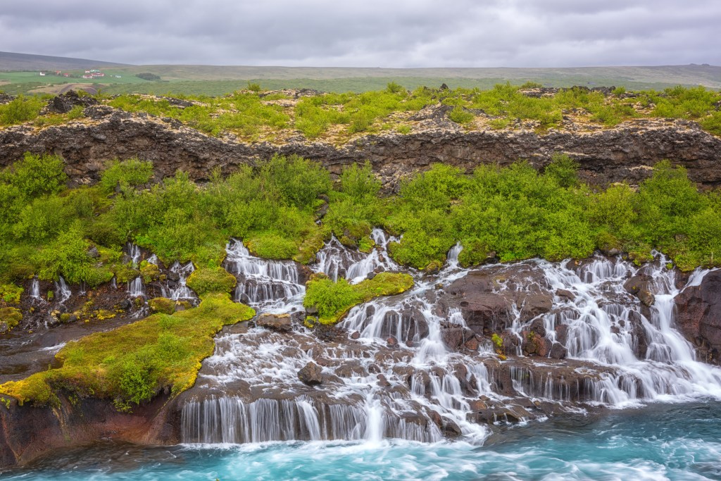
Sights
Hraunfossar (Lava Waterfalls)
Route 518, 6.4 km (4 mi) west of Húsafell, GPS coordinates N 64.7028, W 20.9777
Hraunfossar (Lava Waterfalls) is a series of falls streaming over 900 m (2,953 ft) out of a lava field. The lava flowed from an eruption from a volcano lying under the Langjökull glacier. The falls are beautiful to visit in any season, and rainbows are frequently seen near the water on both rainy and sunny days. There is a parking area to the left of the falls, and it's a short walk to a platform overlooking Hraunfossar.
Barnafossar
Route 518, GPS coordinates N 64.7015, W 20.9727
Two km (1.2 mi) west of Húsafell on Route 518, Barnafossar (Children's Falls) is a stunning waterfall, wide with water rushing over a rocky landscape creating several cascades. It was named for children who disappeared from a nearby farm and drowned in the river, and lore has it that the mother of the disappeared children put a curse on the falls that people should not cross the river. Barnafossar shares the same parking area as Hraunfossar, and it is a short walk to the falls.
The Cave
Fljotstunga; tel. 354/783-3600; www.thecave.is; 9am-6pm daily June-Aug., 10am-4pm daily Mar.-May and Sept.-Oct., 10am-3pm daily Dec.-Feb.; adults 8,000ISK, children 7-15 4,000ISK, children 6 and under free
Located 11 km (6.8 mi) north of Húsafell on Route 518, the largest cave in Iceland, Víðgelmir is only accessible through a tour. The Cave can take you to explore the beautiful ice formations, including scores of stalactites and stalagmites. There is a walking path inside most of the cave, but there are uneven surfaces, so take care. You will be provided a helmet with a headlight. The tour is 1.5 hours long.
Hiking
Hikers have a number of options in Húsafell, ranging from easy walks to more challenging climbs. Before you set out, be sure to check the weather forecast, bring the proper gear and plenty of drinking water, and let people know your whereabouts. The prime hiking season is June-August.
Mount Strútur
Distance: 2 km (1.2 mi) round-trip; Hiking Time: 2 hours; Information and Maps: www.west.is; Trailhead: Low hill north of Kalmanstunga
To climb to the summit of the 938 m (3,078 ft) Mount Strútur, it is recommended you start from the low hill north of the farm Kalmanstunga and follow a signposted track that leads up the mountain. The total elevation gain is 469 m (1,539 ft), and the payoff for reaching the top is a spectacular view of mountains and the Borgarfjörður fjord. Kalmanstunga is 17 km (11 mi) north of Húsafell and can be reached by Route 518.
Oddar
Distance: 4 km (2.5 mi) round-trip; Hiking Time: 1.5 hours; Information and Maps: www.husafell.is; Trailhead: Summerhouse settlement
The summerhouse settlement (a collection of summerhouses) in the center of Húsafell is the starting point for wooded paths heading westward for an easy walk along Oddar, a group of brooks with diverse birdlife. From here it is just a short walk upriver to the meeting point of two rivers: the Norðlingafljót and Hvítá. Just below Hvítá is the waterfall Hundavaðsfoss, a great place to stop and marvel at the beauty. The route then leads southeast along the sands just past the waterfall to a path leading back to the summerhouse settlement. The walk is very easy.
Other Sports and Recreation
Into the Glacier
Viðarhöfði 1; tel. 354/578-2550; www.intotheglacier.is; tours from 19,920ISK
For those looking for a little ice in Iceland, Into the Glacier offers 3-4-hour tours to the world’s largest human-made ice cave, Langjökull. A super truck picks up visitors close to Hotel Húsafell for a breathtaking journey across Langjökull to the tour company’s base camp, which takes 25 minutes. The cave itself is an engineering feat in which visitors are treated to views of crevasses and the smooth ice walls. LED lighting embedded in the walls illuminates the ice nicely, and benches are scattered throughout the tunnel.
Húsafell Swimming Pool
Stórarjóður; tel. 354/435-1552; www.husafell.com; 10am-10pm daily June-Sept., 1pm-5pm Sat.-Sun. Oct.-May; 1,500ISK
The Húsafell Swimming Pool has two pools, two hot tubs, and a big water slide for kids.
Húsafell Golf Course
Stórarjóður, GPS coordinates N 64.6991, W 20.8709; tel. 354/435-1552; www.husafell.is; 8am-6pm daily May-Sept.; greens fees 4,000ISK
This nine-hole course is situated on a gorgeous patch of land overlooking mountains and lava fields. You must call ahead for a tee time.
Food and Accommodations
Hraunfossar Restaurant-Café
Hraunás 4; tel. 354/862-7957; 10am-4pm daily; 2,200ISK
Located at the Lava Waterfalls, Hraunfossar Restaurant-Café has a good selection of light meals and snacks. Sit on the eatery’s porch to enjoy coffee, cakes, ice cream, and sandwiches along with a nice view.
Hotel Húsafell
Borgarbyggd; tel. 354/435-1551; https://www.husafell.com/accommodation/hotel-husafell; from 40,000ISK
This modern 48-room hotel opened in 2015. The location is unbeatable, as it is nestled in a scenic spot with stunning views of the mountain landscape, close to lava caves and glaciers. Rooms feature comfortable beds, private baths, and modern design accents, including wood furnishings and large windows. A breakfast buffet is included in the room rates, and 24-hour room service is available. A pool and hot tubs are on-site, and the in-house restaurant (11:30am-10pm daily; entrées from 5,500ISK) is not to be missed. The menu features everything from tender lamb fillet to fresh fish.
Húsafell Campground
tel. 354/435-1551; www.husafell.com; adults 1,980ISK, children 990ISK
The Húsafell Campground is an open campground surrounded by trees, which cuts down on the wind a bit. RVs and tents are welcome, and the facilities include restrooms, showers, hot and cold water, and laundry machines. The site is a short distance from the swimming pool, golf course, and hiking trails.
Getting to Húsafell
Húsafell is 25 km (16 mi) east from Reykholt on Route 518, which is paved.
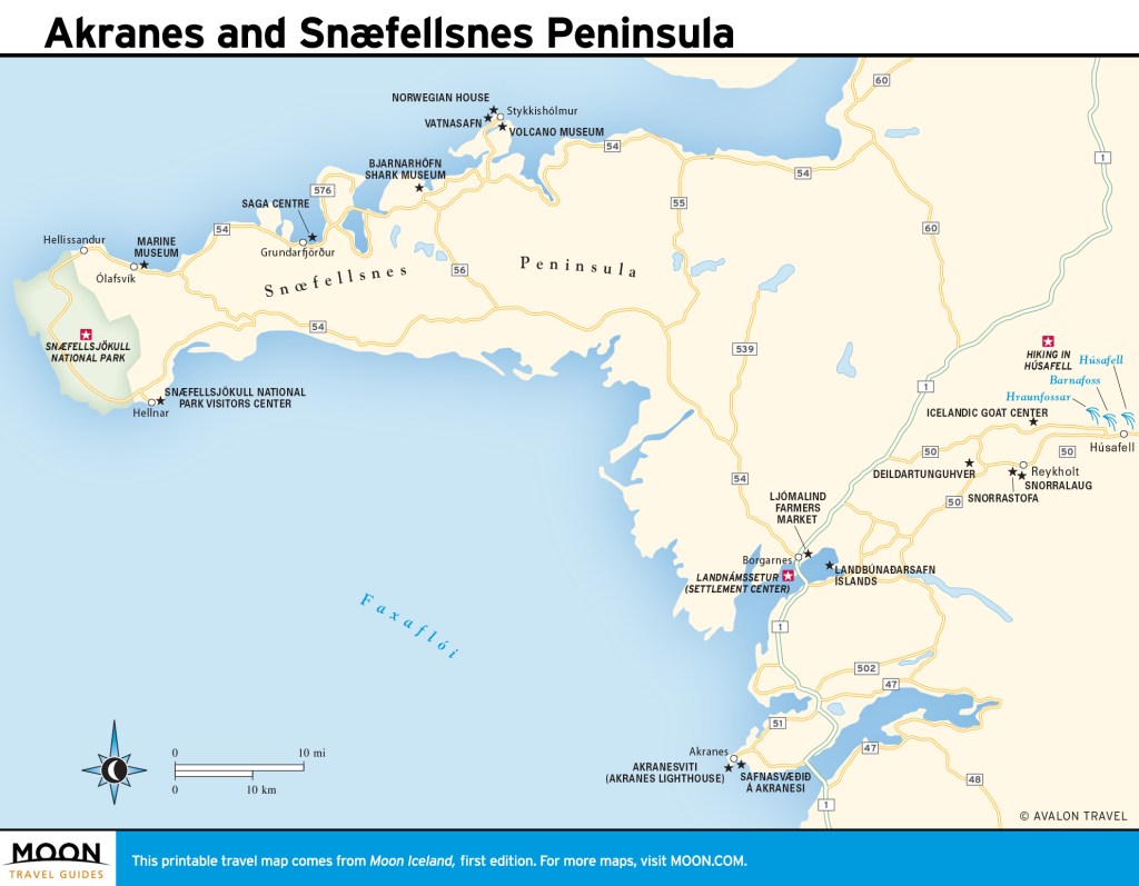
Pin It for Later

Húsafell is a tiny village surrounded by glaciers, ample hiking opportunities, and miles of lava fields. Most tourists make a stop to camp; visit two beautiful waterfalls, Hraunfossar and Barnafossar; and check out some lava caves in nearby Reykholt or explore the Langjökull ice tunnel. Organized trips with a tour operator to Langjökull glacier are available from Húsafell throughout the year.

Sights
Hraunfossar (Lava Waterfalls)
Route 518, 6.4 km (4 mi) west of Húsafell, GPS coordinates N 64.7028, W 20.9777
Hraunfossar (Lava Waterfalls) is a series of falls streaming over 900 m (2,953 ft) out of a lava field. The lava flowed from an eruption from a volcano lying under the Langjökull glacier. The falls are beautiful to visit in any season, and rainbows are frequently seen near the water on both rainy and sunny days. There is a parking area to the left of the falls, and it's a short walk to a platform overlooking Hraunfossar.
Barnafossar
Route 518, GPS coordinates N 64.7015, W 20.9727
Two km (1.2 mi) west of Húsafell on Route 518, Barnafossar (Children's Falls) is a stunning waterfall, wide with water rushing over a rocky landscape creating several cascades. It was named for children who disappeared from a nearby farm and drowned in the river, and lore has it that the mother of the disappeared children put a curse on the falls that people should not cross the river. Barnafossar shares the same parking area as Hraunfossar, and it is a short walk to the falls.
The Cave
Fljotstunga; tel. 354/783-3600; www.thecave.is; 9am-6pm daily June-Aug., 10am-4pm daily Mar.-May and Sept.-Oct., 10am-3pm daily Dec.-Feb.; adults 8,000ISK, children 7-15 4,000ISK, children 6 and under free
Located 11 km (6.8 mi) north of Húsafell on Route 518, the largest cave in Iceland, Víðgelmir is only accessible through a tour. The Cave can take you to explore the beautiful ice formations, including scores of stalactites and stalagmites. There is a walking path inside most of the cave, but there are uneven surfaces, so take care. You will be provided a helmet with a headlight. The tour is 1.5 hours long.
Hiking
Hikers have a number of options in Húsafell, ranging from easy walks to more challenging climbs. Before you set out, be sure to check the weather forecast, bring the proper gear and plenty of drinking water, and let people know your whereabouts. The prime hiking season is June-August.
Mount Strútur
Distance: 2 km (1.2 mi) round-trip; Hiking Time: 2 hours; Information and Maps: www.west.is; Trailhead: Low hill north of Kalmanstunga
To climb to the summit of the 938 m (3,078 ft) Mount Strútur, it is recommended you start from the low hill north of the farm Kalmanstunga and follow a signposted track that leads up the mountain. The total elevation gain is 469 m (1,539 ft), and the payoff for reaching the top is a spectacular view of mountains and the Borgarfjörður fjord. Kalmanstunga is 17 km (11 mi) north of Húsafell and can be reached by Route 518.
Oddar
Distance: 4 km (2.5 mi) round-trip; Hiking Time: 1.5 hours; Information and Maps: www.husafell.is; Trailhead: Summerhouse settlement
The summerhouse settlement (a collection of summerhouses) in the center of Húsafell is the starting point for wooded paths heading westward for an easy walk along Oddar, a group of brooks with diverse birdlife. From here it is just a short walk upriver to the meeting point of two rivers: the Norðlingafljót and Hvítá. Just below Hvítá is the waterfall Hundavaðsfoss, a great place to stop and marvel at the beauty. The route then leads southeast along the sands just past the waterfall to a path leading back to the summerhouse settlement. The walk is very easy.
Other Sports and Recreation
Into the Glacier
Viðarhöfði 1; tel. 354/578-2550; www.intotheglacier.is; tours from 19,920ISK
For those looking for a little ice in Iceland, Into the Glacier offers 3-4-hour tours to the world’s largest human-made ice cave, Langjökull. A super truck picks up visitors close to Hotel Húsafell for a breathtaking journey across Langjökull to the tour company’s base camp, which takes 25 minutes. The cave itself is an engineering feat in which visitors are treated to views of crevasses and the smooth ice walls. LED lighting embedded in the walls illuminates the ice nicely, and benches are scattered throughout the tunnel.
Húsafell Swimming Pool
Stórarjóður; tel. 354/435-1552; www.husafell.com; 10am-10pm daily June-Sept., 1pm-5pm Sat.-Sun. Oct.-May; 1,500ISK
The Húsafell Swimming Pool has two pools, two hot tubs, and a big water slide for kids.
Húsafell Golf Course
Stórarjóður, GPS coordinates N 64.6991, W 20.8709; tel. 354/435-1552; www.husafell.is; 8am-6pm daily May-Sept.; greens fees 4,000ISK
This nine-hole course is situated on a gorgeous patch of land overlooking mountains and lava fields. You must call ahead for a tee time.
Food and Accommodations
Hraunfossar Restaurant-Café
Hraunás 4; tel. 354/862-7957; 10am-4pm daily; 2,200ISK
Located at the Lava Waterfalls, Hraunfossar Restaurant-Café has a good selection of light meals and snacks. Sit on the eatery’s porch to enjoy coffee, cakes, ice cream, and sandwiches along with a nice view.
Hotel Húsafell
Borgarbyggd; tel. 354/435-1551; https://www.husafell.com/accommodation/hotel-husafell; from 40,000ISK
This modern 48-room hotel opened in 2015. The location is unbeatable, as it is nestled in a scenic spot with stunning views of the mountain landscape, close to lava caves and glaciers. Rooms feature comfortable beds, private baths, and modern design accents, including wood furnishings and large windows. A breakfast buffet is included in the room rates, and 24-hour room service is available. A pool and hot tubs are on-site, and the in-house restaurant (11:30am-10pm daily; entrées from 5,500ISK) is not to be missed. The menu features everything from tender lamb fillet to fresh fish.
Húsafell Campground
tel. 354/435-1551; www.husafell.com; adults 1,980ISK, children 990ISK
The Húsafell Campground is an open campground surrounded by trees, which cuts down on the wind a bit. RVs and tents are welcome, and the facilities include restrooms, showers, hot and cold water, and laundry machines. The site is a short distance from the swimming pool, golf course, and hiking trails.
Getting to Húsafell
Húsafell is 25 km (16 mi) east from Reykholt on Route 518, which is paved.

Pin It for Later

When it comes to beach weather, even though South Maui is dry, other elements such as the wind and clouds can greatly affect the comfort level. The closer you are to Ma‘alaea, the earlier in the day it gets windy—particularly in the summer. Since the afternoon trade winds begin their march in Ma‘alaea, they progressively move from north to south through Kihei, Wailea, and ultimately Makena. During trade wind weather patterns, “the Makena cloud” forms over Haleakala and extends out toward the island of Kaho‘olawe, although this doesn’t normally happen until the early afternoon. The morning hours are the best time to hit the beach. In the afternoon, the pocket of beaches in south Kihei and Wailea have the best chance of being sunny and calm. Winter months aren’t as windy; this is also when humpback whales can be seen leaping offshore.
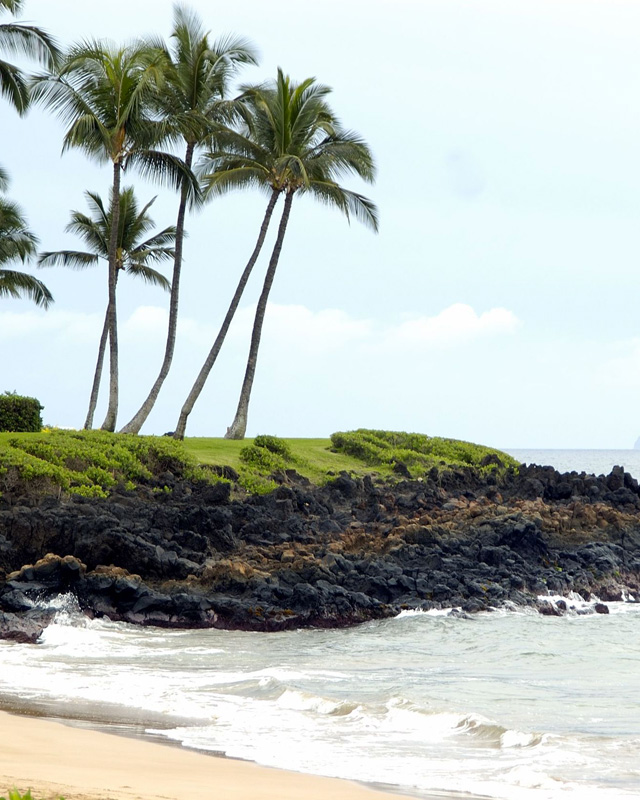
Beaches in Ma‘alaea
Sugar Beach
If your picture-perfect vision of Hawaii is enjoying a long, lonely stroll down an isolated beach, then Sugar Beach is going to be your favorite spot on the island. Bordered on one side by Kealia Pond National Wildlife Refuge and the waters of Ma‘alaea Bay on the other, this undeveloped strip runs for five miles all the way to the condos of North Kihei. Nesting green sea turtles often haul out on the sand here to lay their eggs, and the Turtle X-ing signs which once graced the highway were the target of memorabilia thieves for years.
There isn’t any snorkeling. Although there can sometimes be waves for boogie boarding during summer, the main attraction here is taking a long, quiet stroll. Most afternoons are marked by fierce trade winds, so the early morning hours are the best time to visit. To access Sugar Beach you can begin at the northern terminus at Haycraft Beach Park, the southern terminus in North Kihei, or at numerous entry points along North Kihei Road.
Beaches in Kihei
Mai Poina ‘Oe Ia‘u Beach Park
This beach is known as the “Kanaha of Kihei,” due to the windsurfers who gather along the shoreline. In the morning this is a nice beach for a stroll, as it’s much more tranquil than the fast pace of South Kihei. There isn’t any swimming or snorkeling, though there are picnic tables and pavilions if you’re thinking of having a picnic. This is also a nice place for stand-up paddling in the morning.
Kalepolepo Beach Park
Set on the northern edge of the headquarters for the Hawaiian Islands Humpback Whale National Marine Sanctuary (say that 10 times fast), Kalepolepo Beach Park is—from a historical perspective—Kihei’s most underrated beach. What makes this little-visited enclave so special are the ancient Hawaiian fishponds. Masterfully restored in recent years by local volunteers, the fishponds were once reserved for royalty and the site of a native Hawaiian settlement. Historical placards within the park detail the area’s rich cultural history. The fishponds also create a protected swimming area nice for small children. The snorkeling is murky and it isn’t a great beach for swimming, but it’s worth a stop while driving down South Kihei Road to look at the fishponds and get a feel for this unheralded part of town.
Waiohuli Beach
Even in ultra-crowded Kihei it’s nice to know there are still some places you can stop and hear yourself think. Small, hidden, and forgotten, Waiohuli Beach is one of those spots. Not only is this beach rarely frequented by visitors, but locals hardly make it here either. There isn’t any snorkeling and the water is too shallow for swimming, so what makes this beach great is the ability to sit on a sandy shoreline and hear nothing but the lapping of waves and intermittent gusts of wind. At the end of Waiohuli Road—a residential street next to the Kihei Veterinary Clinic—there is room to park next to the public beach access sign labeled number “117.” Limu (seaweed) will often wash onto the beach at high tide. If you walk to the north end of the beach at low tide you can follow the sand all the way to Waipuilani Beach Park.
”The Cove”
This popular surf spot at the far south end of Kalama Beach Park has a small horseshoe of sand where you can lay out in the sun. This is a great people-watching spot full of volleyball players, canoers, stand-up paddlers, and surfers. While it isn’t the nicest beach in Kihei, if you’re in the Kalama Village area and want to kill time at the beach while a family member shops, this small stretch of sand will do the trick.
Kamaole I, II, and III
The Kamaole Beach Parks form the core of Kihei’s beach scene. Grassy areas run parallel to the roadway, and all of the parks have showers, restrooms, picnic tables, and barbecue grills for putting together a relaxing sunset meal. Kam I has a beach volleyball court on the north side of the park.
The best way to experience these beaches is to take a stroll along the coastline and link all three parks together. The lava rock headlands can be rough on your feet and kiawe trees drop thorns; wear footwear if you plan on walking all three beaches. The tidepools between Kam II and Kam III are a particularly nice place to explore. When you reach the southern end of Kam III, there’s a walking trail that runs for 0.75 mile to the Kihei Boat Ramp.
Calm mornings are the best time for stand-up paddling and snorkeling; by noon the wind can pick up and turn the surface to whitecaps. Summers often have some shorebreak. Parking for Kam I and Kam II is at free spots curbside. Larger Kam III has its own parking lot dedicated exclusively for beachgoers. There is also overflow parking between Kam III and the boat ramp.
Sometimes you will hear locals say they enjoy spending time at Charley Young Beach; this is just another name for the northern end of Kam I. What’s nice about this beach is that it’s protected from the wind when the southern section of the beach is choppy. Parking for Charley Young is along Kaiau Place, which is a small offshoot of South Kihei Road not far from the Cove Park.
Keawakapu Beach
Outside of Kam III, Keawakapu is Kihei’s most popular beach. This long, sandy stretch is more protected from the wind than the beaches farther north, and water sports are the name of the game. A small rental shop on the north end of the beach rents out stand-up paddleboards, kayaks, and snorkeling gear, and during the calm morning hours this beach is a bustle of activity. Snorkeling is best around the north and south headlands, while the sandy, gentle entry in the middle section of the beach is an enjoyable place to go for a quick swim. There is ample parking on the north end of the beach, and there is a lot off South Kihei Road on the north side of the Days Inn.
Compared to the north end of the beach, the south end is an oasis of calm. To reach the south end of Keawakapu you can either take a stroll down the length of the beach, or if you would rather drive, when South Kihei Road begins to head uphill toward the resorts of Wailea, continue driving straight until the road dead-ends in a small parking lot. There aren’t many spaces here, but there is a small shower for hosing off. As if two entrances weren’t enough, there’s also a central entrance to Keawakapu that’s known as Sidewalks with public parking on the corner of Kilohana Drive and South Kihei Road.
]]>

When it comes to beach weather, even though South Maui is dry, other elements such as the wind and clouds can greatly affect the comfort level. The closer you are to Ma‘alaea, the earlier in the day it gets windy—particularly in the summer. Since the afternoon trade winds begin their march in Ma‘alaea, they progressively move from north to south through Kihei, Wailea, and ultimately Makena. During trade wind weather patterns, “the Makena cloud” forms over Haleakala and extends out toward the island of Kaho‘olawe, although this doesn’t normally happen until the early afternoon. The morning hours are the best time to hit the beach. In the afternoon, the pocket of beaches in south Kihei and Wailea have the best chance of being sunny and calm. Winter months aren’t as windy; this is also when humpback whales can be seen leaping offshore.

Beaches in Ma‘alaea
Sugar Beach
If your picture-perfect vision of Hawaii is enjoying a long, lonely stroll down an isolated beach, then Sugar Beach is going to be your favorite spot on the island. Bordered on one side by Kealia Pond National Wildlife Refuge and the waters of Ma‘alaea Bay on the other, this undeveloped strip runs for five miles all the way to the condos of North Kihei. Nesting green sea turtles often haul out on the sand here to lay their eggs, and the Turtle X-ing signs which once graced the highway were the target of memorabilia thieves for years.
There isn’t any snorkeling. Although there can sometimes be waves for boogie boarding during summer, the main attraction here is taking a long, quiet stroll. Most afternoons are marked by fierce trade winds, so the early morning hours are the best time to visit. To access Sugar Beach you can begin at the northern terminus at Haycraft Beach Park, the southern terminus in North Kihei, or at numerous entry points along North Kihei Road.
Beaches in Kihei
Mai Poina ‘Oe Ia‘u Beach Park
This beach is known as the “Kanaha of Kihei,” due to the windsurfers who gather along the shoreline. In the morning this is a nice beach for a stroll, as it’s much more tranquil than the fast pace of South Kihei. There isn’t any swimming or snorkeling, though there are picnic tables and pavilions if you’re thinking of having a picnic. This is also a nice place for stand-up paddling in the morning.
Kalepolepo Beach Park
Set on the northern edge of the headquarters for the Hawaiian Islands Humpback Whale National Marine Sanctuary (say that 10 times fast), Kalepolepo Beach Park is—from a historical perspective—Kihei’s most underrated beach. What makes this little-visited enclave so special are the ancient Hawaiian fishponds. Masterfully restored in recent years by local volunteers, the fishponds were once reserved for royalty and the site of a native Hawaiian settlement. Historical placards within the park detail the area’s rich cultural history. The fishponds also create a protected swimming area nice for small children. The snorkeling is murky and it isn’t a great beach for swimming, but it’s worth a stop while driving down South Kihei Road to look at the fishponds and get a feel for this unheralded part of town.
Waiohuli Beach
Even in ultra-crowded Kihei it’s nice to know there are still some places you can stop and hear yourself think. Small, hidden, and forgotten, Waiohuli Beach is one of those spots. Not only is this beach rarely frequented by visitors, but locals hardly make it here either. There isn’t any snorkeling and the water is too shallow for swimming, so what makes this beach great is the ability to sit on a sandy shoreline and hear nothing but the lapping of waves and intermittent gusts of wind. At the end of Waiohuli Road—a residential street next to the Kihei Veterinary Clinic—there is room to park next to the public beach access sign labeled number “117.” Limu (seaweed) will often wash onto the beach at high tide. If you walk to the north end of the beach at low tide you can follow the sand all the way to Waipuilani Beach Park.
”The Cove”
This popular surf spot at the far south end of Kalama Beach Park has a small horseshoe of sand where you can lay out in the sun. This is a great people-watching spot full of volleyball players, canoers, stand-up paddlers, and surfers. While it isn’t the nicest beach in Kihei, if you’re in the Kalama Village area and want to kill time at the beach while a family member shops, this small stretch of sand will do the trick.
Kamaole I, II, and III
The Kamaole Beach Parks form the core of Kihei’s beach scene. Grassy areas run parallel to the roadway, and all of the parks have showers, restrooms, picnic tables, and barbecue grills for putting together a relaxing sunset meal. Kam I has a beach volleyball court on the north side of the park.
The best way to experience these beaches is to take a stroll along the coastline and link all three parks together. The lava rock headlands can be rough on your feet and kiawe trees drop thorns; wear footwear if you plan on walking all three beaches. The tidepools between Kam II and Kam III are a particularly nice place to explore. When you reach the southern end of Kam III, there’s a walking trail that runs for 0.75 mile to the Kihei Boat Ramp.
Calm mornings are the best time for stand-up paddling and snorkeling; by noon the wind can pick up and turn the surface to whitecaps. Summers often have some shorebreak. Parking for Kam I and Kam II is at free spots curbside. Larger Kam III has its own parking lot dedicated exclusively for beachgoers. There is also overflow parking between Kam III and the boat ramp.
Sometimes you will hear locals say they enjoy spending time at Charley Young Beach; this is just another name for the northern end of Kam I. What’s nice about this beach is that it’s protected from the wind when the southern section of the beach is choppy. Parking for Charley Young is along Kaiau Place, which is a small offshoot of South Kihei Road not far from the Cove Park.
Keawakapu Beach
Outside of Kam III, Keawakapu is Kihei’s most popular beach. This long, sandy stretch is more protected from the wind than the beaches farther north, and water sports are the name of the game. A small rental shop on the north end of the beach rents out stand-up paddleboards, kayaks, and snorkeling gear, and during the calm morning hours this beach is a bustle of activity. Snorkeling is best around the north and south headlands, while the sandy, gentle entry in the middle section of the beach is an enjoyable place to go for a quick swim. There is ample parking on the north end of the beach, and there is a lot off South Kihei Road on the north side of the Days Inn.
Compared to the north end of the beach, the south end is an oasis of calm. To reach the south end of Keawakapu you can either take a stroll down the length of the beach, or if you would rather drive, when South Kihei Road begins to head uphill toward the resorts of Wailea, continue driving straight until the road dead-ends in a small parking lot. There aren’t many spaces here, but there is a small shower for hosing off. As if two entrances weren’t enough, there’s also a central entrance to Keawakapu that’s known as Sidewalks with public parking on the corner of Kilohana Drive and South Kihei Road.
]]>
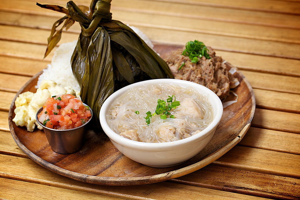
I was first drawn to the Big Island of Hawai‘i sixteen years ago after a lecture by Haunani-Kay Trask, a political scientist and Hawaiian nationalist who came to my university to speak about the rights of native Hawaiians. At the time, I knew Hawaii only as the place in my parents’ '70s honeymoon photos, or as the tropical vacation getaway in ads and movies. I was surprised to learn about the rich, complicated, and occasionally tumultuous history of the state, beginning with the settlement of the indigenous people of Hawaii, the colonial period, and through to Hawaiian statehood in 1959.
While a vast body of literature exists detailing everything from Captain Cook’s failed exploration of the islands to the recent struggle over Mauna Kea (as it relates to the Hawaiian sovereignty movement), to me, a cultural history of the Big Island can best be learned on a plate.
The Food of Paradise: Exploring Hawaii's Culinary Heritage by Rachel Lauden is part food history, part cookbook, and it’s my go-to book to better understand how common foods found on the Big Island are deeply embedded in the history of Hawaii.

Traditional Hawaiian Foods and their History
Lau Lau
Lau lau, which translates to “leaf, leaf,” is technically is a way of cooking, but it’s also the name of a traditional Native Hawaiian dish prepared by wrapping pork and/or fish in taro leaves and steaming it over an imu–an underground fire. Today the dish is prepared with any protein and steamed in the oven. Oftentimes, lau lau is part of a plate lunch.
Where to get it: Kaaloa’s Super J’s in Captain Cook. Even people who say they don’t like lau lau love it here (I can vouch that it’s delicious!).
The Plate Lunch
The quintessential local food, a plate lunch usually consists of white rice, macaroni salad, and a meat entrée. Found at food trucks, drive-ins, and parking lot pop-up stalls, this carb-filled dish originated in the late 1800s and offered a cheap, filling lunch for plantation workers. The various types of meat entrées reflect the many origins of plantation workers, including places as diverse as China, Japan, the Philippines, and Portuguese colonies.
Where to get it: The Hawaiian Style Cafe in Hilo or Waimea offers both quality and quantity in a nice (air-conditioned) setting. You can also ask for variations such as brown instead of white rice.
Malasada
Malasada, a deep fried pastry that somewhat resembles the Polish paczki donut, was brought to Hawaii in the late 1800s by Portuguese plantation workers from the Madeira and Azores islands. Traditional malasadas just are rolled in sugar, but these days, you’re more likely to taste them stuffed with mango, passionfruit, or even coconut pudding.
Where to get it: The classics are found at Tex Drive-in in Honokaa or Punalu’u Bake Shop in Naalehu.
Spam Musubi
A distant cousin of sushi, spam musubi looks like a long, uncut sushi roll with a thin-cut piece of shoyu-seasoned spam sitting on top of a layer of rice and then wrapped in nori (dry roasted seaweed). Created during World War II when spam was plentiful on the islands, the origins of musubi can be traced back to Japanese internment camps.

Where to get it: You can find variations on spam musubi at any convenience or grocery store. One of my favorites is at the 7-11 in Kurtistown where it's served hot with an egg on top of the spam layer.
Plan your trip to Hawaii
]]>
I was first drawn to the Big Island of Hawai‘i sixteen years ago after a lecture by Haunani-Kay Trask, a political scientist and Hawaiian nationalist who came to my university to speak about the rights of native Hawaiians. At the time, I knew Hawaii only as the place in my parents’ '70s honeymoon photos, or as the tropical vacation getaway in ads and movies. I was surprised to learn about the rich, complicated, and occasionally tumultuous history of the state, beginning with the settlement of the indigenous people of Hawaii, the colonial period, and through to Hawaiian statehood in 1959.
While a vast body of literature exists detailing everything from Captain Cook’s failed exploration of the islands to the recent struggle over Mauna Kea (as it relates to the Hawaiian sovereignty movement), to me, a cultural history of the Big Island can best be learned on a plate.
The Food of Paradise: Exploring Hawaii's Culinary Heritage by Rachel Lauden is part food history, part cookbook, and it’s my go-to book to better understand how common foods found on the Big Island are deeply embedded in the history of Hawaii.

Traditional Hawaiian Foods and their History
Lau Lau
Lau lau, which translates to “leaf, leaf,” is technically is a way of cooking, but it’s also the name of a traditional Native Hawaiian dish prepared by wrapping pork and/or fish in taro leaves and steaming it over an imu–an underground fire. Today the dish is prepared with any protein and steamed in the oven. Oftentimes, lau lau is part of a plate lunch.
Where to get it: Kaaloa’s Super J’s in Captain Cook. Even people who say they don’t like lau lau love it here (I can vouch that it’s delicious!).
The Plate Lunch
The quintessential local food, a plate lunch usually consists of white rice, macaroni salad, and a meat entrée. Found at food trucks, drive-ins, and parking lot pop-up stalls, this carb-filled dish originated in the late 1800s and offered a cheap, filling lunch for plantation workers. The various types of meat entrées reflect the many origins of plantation workers, including places as diverse as China, Japan, the Philippines, and Portuguese colonies.
Where to get it: The Hawaiian Style Cafe in Hilo or Waimea offers both quality and quantity in a nice (air-conditioned) setting. You can also ask for variations such as brown instead of white rice.
Malasada
Malasada, a deep fried pastry that somewhat resembles the Polish paczki donut, was brought to Hawaii in the late 1800s by Portuguese plantation workers from the Madeira and Azores islands. Traditional malasadas just are rolled in sugar, but these days, you’re more likely to taste them stuffed with mango, passionfruit, or even coconut pudding.
Where to get it: The classics are found at Tex Drive-in in Honokaa or Punalu’u Bake Shop in Naalehu.
Spam Musubi
A distant cousin of sushi, spam musubi looks like a long, uncut sushi roll with a thin-cut piece of shoyu-seasoned spam sitting on top of a layer of rice and then wrapped in nori (dry roasted seaweed). Created during World War II when spam was plentiful on the islands, the origins of musubi can be traced back to Japanese internment camps.

Where to get it: You can find variations on spam musubi at any convenience or grocery store. One of my favorites is at the 7-11 in Kurtistown where it's served hot with an egg on top of the spam layer.
Plan your trip to Hawaii
]]>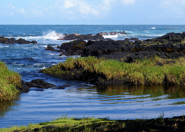
If you define a beach as a long expanse of white sand covered by a thousand sunbathers and their beach umbrellas, then Hilo doesn’t have any. If a beach, to you, can be a smaller, more intimate affair where a good number of tourists and families can spend the day on pockets of sand between fingers of black lava, then Hilo has a few. Hilo’s beaches are small and rocky—perfect for keeping crowds away. The best beaches all lie to the east of the city along Kalaniana‘ole Avenue, an area known as the Keaukaha Strip, which runs six miles from downtown Hilo to its dead end at Leleiwi Point. Not all beaches are clearly marked, but even those are easily identified by the cars parked along the road.
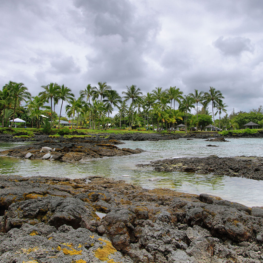
Downtown Hilo and the Bayfront
Hilo Bayfront Park
A thousand yards of gray-black sand that narrows considerably as it runs west from the Wailoa River toward downtown, at one time Hilo Bayfront Park (along Kamehameha Ave.) went all the way to the Wailuku River and was renowned throughout the islands for its beauty, but commercialism of the waterfront ruined it. By 1960, so much sewage and industrial waste had been pumped into the bay that it was considered a public menace, and then the great tsunami came. Reclamation projects created the Wailoa River State Recreation Area at the east end, and shorefront land became a buffer zone against future inundation.
Few swimmers come to the beach because the water is cloudy and chilly, but the sharks don’t seem to mind! The bay is a perfect spot for canoe races, and many local teams come here to train. Notice the judging towers and canoe sheds of local outrigger canoe clubs. Toward the west end, near the mouth of the Wailuku River, surfers catch long rides during winter, entertaining spectators. There is public parking along the eastern half near the canoe clubs or at the Wailoa river mouth where the fishing boats dock.
Beaches of Greater Hilo
Although these beaches are outside of the downtown area, they are really only a few minutes from downtown, and all the beaches are within minutes of one another. With only one exception, all the beaches are either black-sand beaches or have no sand and just a grassy area fronting the beach.
Reeds Bay Beach Park
Technically part of Hilo Bay, Reeds Bay Beach Park (at the end of Banyan Dr.) is a largely undeveloped area on the east side of the Waiakea Peninsula. The water here is notoriously cold because of a constantly flowing freshwater spring, hence the name Ice Pond, at its innermost end. Mostly it’s frequented by fishers and locals having a good time on weekends and holidays, and some sailors park their private boats here. Restrooms, water, and shower facilities are available.
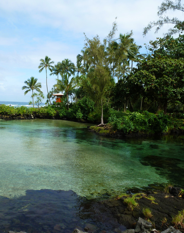
Keaukaha Beach at Carlsmith Beach Park
Keaukaha Beach at Carlsmith Beach Park, located on Puhi Bay, is the first in a series of beaches as you head east on Kalaniana‘ole Avenue. Look for Baker Avenue and pull off to the left into a rough parking area. This is a favorite spot with local people, who swim at Cold Water Pond, a spring-fed inlet at the head of the bay. A sewage treatment plant fronts the western side of Puhi Bay. Much nicer areas for swimming and snorkeling await you just up Kalaniana‘ole Avenue, but this beach does have a restroom, shower, pavilion, and weekend lifeguard.
Onekahakaha Beach Park
Farther up the road, Onekahakaha Beach Park has it all: safe swimming, small white-sand beach, lifeguards, and amenities. Turn left onto Onekahakaha Road and park in the lot of Hilo’s favorite family beach. Swim in the large, sandy-bottomed pool protected by a manmade breakwater. Outside the breakwater the currents can be fierce, and drownings have been recorded. Good thing there is a lifeguard on duty during the weekends. Walk east along the shore to find an undeveloped area of the park with many small tidal pools. Beware of sea urchins.
James Kealoha Beach Park (Four Mile Beach)
James Kealoha Beach Park, also known locally as Four Mile Beach, is next; people swim, snorkel, and fish here; during winter it’s a favorite surfing spot. Stay to the left side of the beach since it’s more protected than the right side, which can get rough with strong currents during times of high surf.
Just offshore is an island known as Scout Island because local Boy Scouts often camp there. This entire area was known for its fishponds, and inland, just across Kalaniana‘ole Avenue, is the 60-acre Loko Waka Pond. This site of ancient Hawaiian aquaculture is now a commercial operation that raises mullet, trout, catfish, perch, tilapia, and others. There is a restroom here but no other amenities.
Leleiwi Beach Park
A favorite local spot for scuba divers due to its plentiful sea life, Leleiwi Beach Park lies along a lovely residential area carved into the rugged coastline. This park, unlike the majority of them, has a full-time lifeguard, and it is a good thing they have one, since the shore here is open to the ocean, and currents may be strong.
Richardson Beach Park
Adjacent is Richardson Ocean Park, known locally as Richardson’s Beach Park. A seawall skirts the shore, and a tiny cove with a black-sand beach is the first in a series. This is a terrific area for snorkeling, with plenty of marine life, including honu (green sea turtles). Walk east to a natural lava breakwater. Behind it are pools filled and flushed by the surging tide. The water breaks over the top of the lava and rushes into the pools, making natural whirlpool tubs. This is one of the most picturesque swimming areas on the island and is often crowded with families since it offers a lot of shade and a full-time lifeguard on duty. Full amenities are available.
Ready to plan a Hawaii adventure?
]]>
If you define a beach as a long expanse of white sand covered by a thousand sunbathers and their beach umbrellas, then Hilo doesn’t have any. If a beach, to you, can be a smaller, more intimate affair where a good number of tourists and families can spend the day on pockets of sand between fingers of black lava, then Hilo has a few. Hilo’s beaches are small and rocky—perfect for keeping crowds away. The best beaches all lie to the east of the city along Kalaniana‘ole Avenue, an area known as the Keaukaha Strip, which runs six miles from downtown Hilo to its dead end at Leleiwi Point. Not all beaches are clearly marked, but even those are easily identified by the cars parked along the road.

Downtown Hilo and the Bayfront
Hilo Bayfront Park
A thousand yards of gray-black sand that narrows considerably as it runs west from the Wailoa River toward downtown, at one time Hilo Bayfront Park (along Kamehameha Ave.) went all the way to the Wailuku River and was renowned throughout the islands for its beauty, but commercialism of the waterfront ruined it. By 1960, so much sewage and industrial waste had been pumped into the bay that it was considered a public menace, and then the great tsunami came. Reclamation projects created the Wailoa River State Recreation Area at the east end, and shorefront land became a buffer zone against future inundation.
Few swimmers come to the beach because the water is cloudy and chilly, but the sharks don’t seem to mind! The bay is a perfect spot for canoe races, and many local teams come here to train. Notice the judging towers and canoe sheds of local outrigger canoe clubs. Toward the west end, near the mouth of the Wailuku River, surfers catch long rides during winter, entertaining spectators. There is public parking along the eastern half near the canoe clubs or at the Wailoa river mouth where the fishing boats dock.
Beaches of Greater Hilo
Although these beaches are outside of the downtown area, they are really only a few minutes from downtown, and all the beaches are within minutes of one another. With only one exception, all the beaches are either black-sand beaches or have no sand and just a grassy area fronting the beach.
Reeds Bay Beach Park
Technically part of Hilo Bay, Reeds Bay Beach Park (at the end of Banyan Dr.) is a largely undeveloped area on the east side of the Waiakea Peninsula. The water here is notoriously cold because of a constantly flowing freshwater spring, hence the name Ice Pond, at its innermost end. Mostly it’s frequented by fishers and locals having a good time on weekends and holidays, and some sailors park their private boats here. Restrooms, water, and shower facilities are available.

Keaukaha Beach at Carlsmith Beach Park
Keaukaha Beach at Carlsmith Beach Park, located on Puhi Bay, is the first in a series of beaches as you head east on Kalaniana‘ole Avenue. Look for Baker Avenue and pull off to the left into a rough parking area. This is a favorite spot with local people, who swim at Cold Water Pond, a spring-fed inlet at the head of the bay. A sewage treatment plant fronts the western side of Puhi Bay. Much nicer areas for swimming and snorkeling await you just up Kalaniana‘ole Avenue, but this beach does have a restroom, shower, pavilion, and weekend lifeguard.
Onekahakaha Beach Park
Farther up the road, Onekahakaha Beach Park has it all: safe swimming, small white-sand beach, lifeguards, and amenities. Turn left onto Onekahakaha Road and park in the lot of Hilo’s favorite family beach. Swim in the large, sandy-bottomed pool protected by a manmade breakwater. Outside the breakwater the currents can be fierce, and drownings have been recorded. Good thing there is a lifeguard on duty during the weekends. Walk east along the shore to find an undeveloped area of the park with many small tidal pools. Beware of sea urchins.
James Kealoha Beach Park (Four Mile Beach)
James Kealoha Beach Park, also known locally as Four Mile Beach, is next; people swim, snorkel, and fish here; during winter it’s a favorite surfing spot. Stay to the left side of the beach since it’s more protected than the right side, which can get rough with strong currents during times of high surf.
Just offshore is an island known as Scout Island because local Boy Scouts often camp there. This entire area was known for its fishponds, and inland, just across Kalaniana‘ole Avenue, is the 60-acre Loko Waka Pond. This site of ancient Hawaiian aquaculture is now a commercial operation that raises mullet, trout, catfish, perch, tilapia, and others. There is a restroom here but no other amenities.
Leleiwi Beach Park
A favorite local spot for scuba divers due to its plentiful sea life, Leleiwi Beach Park lies along a lovely residential area carved into the rugged coastline. This park, unlike the majority of them, has a full-time lifeguard, and it is a good thing they have one, since the shore here is open to the ocean, and currents may be strong.
Richardson Beach Park
Adjacent is Richardson Ocean Park, known locally as Richardson’s Beach Park. A seawall skirts the shore, and a tiny cove with a black-sand beach is the first in a series. This is a terrific area for snorkeling, with plenty of marine life, including honu (green sea turtles). Walk east to a natural lava breakwater. Behind it are pools filled and flushed by the surging tide. The water breaks over the top of the lava and rushes into the pools, making natural whirlpool tubs. This is one of the most picturesque swimming areas on the island and is often crowded with families since it offers a lot of shade and a full-time lifeguard on duty. Full amenities are available.
Ready to plan a Hawaii adventure?
]]>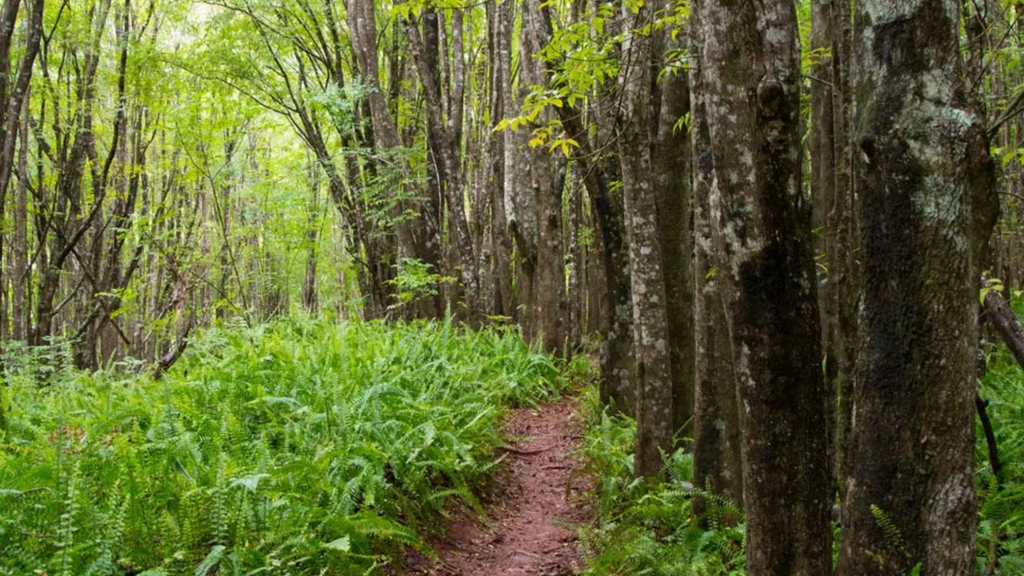
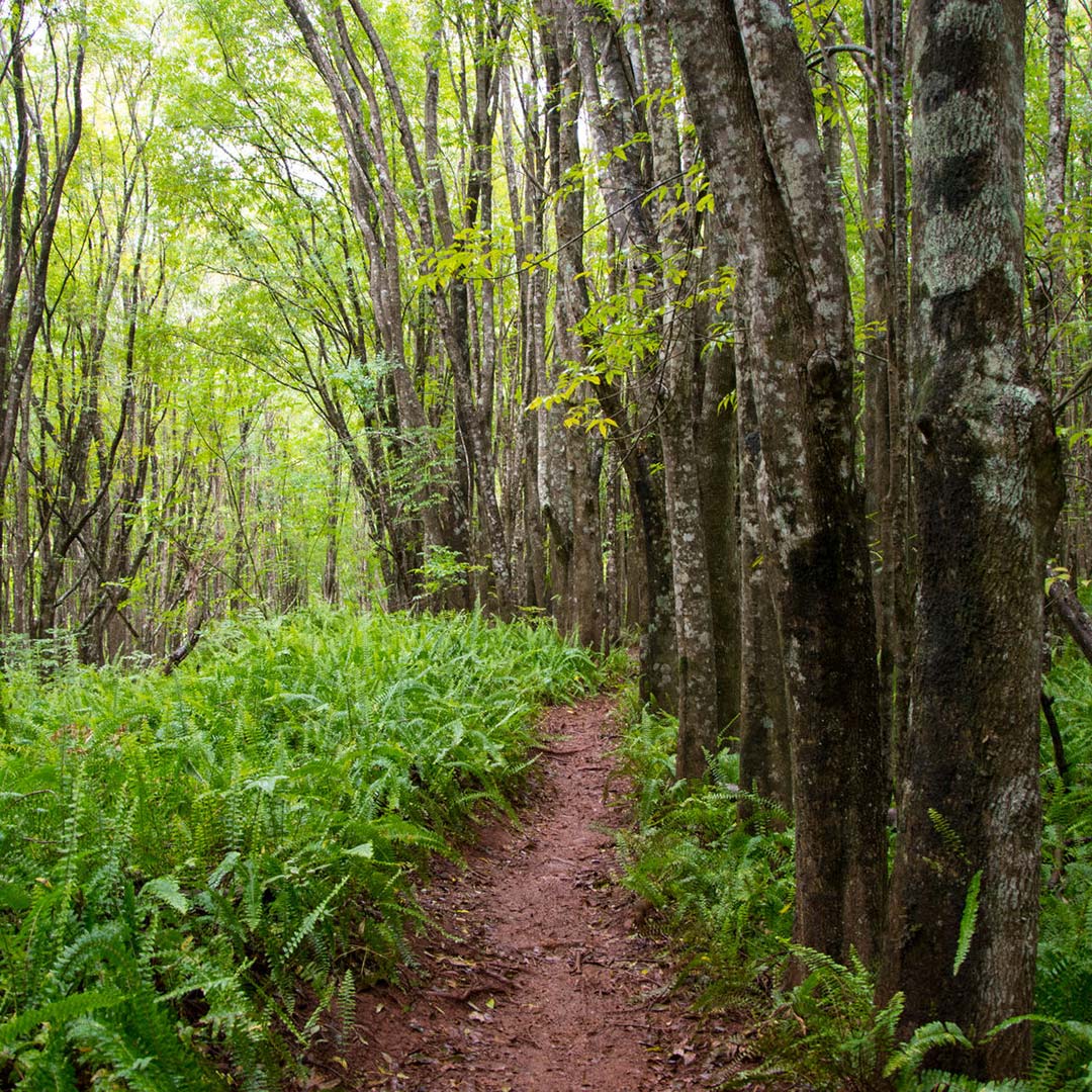
While much of the land behind Makawao is either privately owned ranchland or part of the state watershed system, two well-maintained trails provide Makawao hikers with a couple of options for getting back into the forest.
In the heart of the Makawao Forest Reserve, the Kahakapao Loop Trail is popular with mountain bikers and families walking their dogs. This forested 5.7-mile loop weaves through eucalyptus and pines, and the air is cool at just over 3,000 feet elevation.
To reach the trailhead from Makawao, follow Makawao Avenue toward Ha‘iku for 0.3 mile before turning right on Pi‘iholo Road. After 1.5 miles, just past the Pi‘iholo zipline tours, take a left at the fork in the road and follow it for 0.5 mile. Here you’ll make a right onto Kahakapao Road and drive 1.5 miles on a narrow uphill until you reach a metal gate (open 7am-7pm daily). From the gate, a steep asphalt road continues for another 0.5 miles until it reaches a gravel parking lot. Expect to encounter some cyclists while hiking, since it’s a multiuse network of trails.
If you don’t feel like dealing with throngs of bikers, head to the Waihou Spring Trail, toward the top of Olinda Road. This two-mile trail is only open to hikers and doesn’t have as steep an elevation gain as at Kahakapao. It’s uniquely situated among an experimental planting of pine trees, and while the wooded trail is nice enough for walking, the treat is at the end, where a steep switchback leads to a hidden gulch. Here you’ll find a 30-foot vertical rock face with tunnels bored through, and if you have a flashlight, you can climb in the tunnels and follow them for a short distance. To reach the trailhead for Waihou Springs, go to Makawao’s only intersection and follow Olinda Road uphill for five very curvy miles.
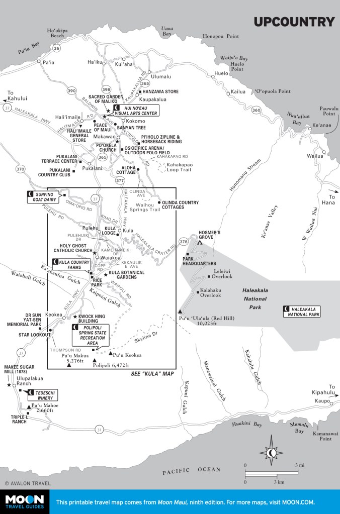

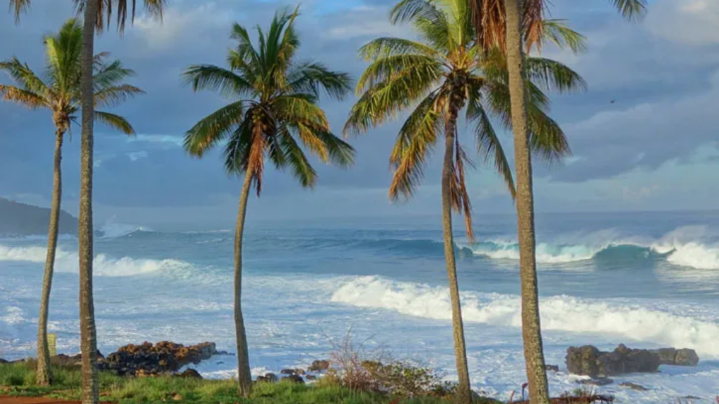
To say that the surf spots on Moloka‘i are empty would be a lie, but a crowded day by Moloka‘i standards would be considered almost empty in Maui. If there are more than three people, maybe four, just go somewhere else. With a little walking (or a high clearance vehicle), it’s still possible to find spots where there’s a good chance you’ll have the waves all to yourself. Since finding surf spots like this is such a rarity in Hawaii, however, it’s not surprising that Moloka‘i locals can be protective of their surf breaks, so following basic surf etiquette here can go a long way.
West Moloka‘i
Remote and empty, West Moloka‘i is best in winter when the swells that send waves to O‘ahu come crashing onto this coast. The difference is that there aren’t 200 people vying for the same wave, and traffic on the highway is nonexistent. While the quality isn’t as good as O‘ahu's, the surf in western Moloka‘i can be heavy, and only experienced surfers should paddle out on big-wave days.
The best-known and consequently most crowded spot on this end of the island is Sheraton’s at Kepuhi Beach, named after the defunct resort that fronts the beach. Access is sandy and easy, but be wary of occasional shallow boulders while paddling out. The wave is on the left side of the beach, and on better days can be an A-frame that holds to 10 feet. Sheraton’s is a decent spot for intermediate surfers if it’s small, and only for experts if it’s pumping.
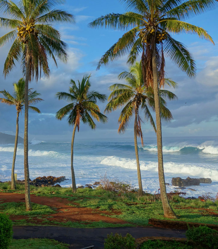
If Sheraton’s is too big, drive south to Dixie Maru where a right point break wraps into the bay at sizes half of Sheraton’s. If Dixie’s is crowded, meaning more than three people, or if you’re up for a little adventure, a goat trail leads back into the kiawe trees and to Kaunala Beach, where another right break bends in toward the shore. The takeoff can be a little difficult since you sit off the rocks, but it’s a fun wave to get a few turns in when Sheraton’s is all closed out.
On the southern end of the island, the beaches around Hale O Lono harbor are able to pick up swells any time of year and can often be heavy in winter. The wind can be fierce in the afternoon, and the murky conditions conjure fears of toothy predators, but there’s a 95 percent chance you’ll have the waves to yourself. If the wind is down, the waves are up, and the water is clear, the beaches off Hale O Lono can offer some of the most adventurous surf on Moloka‘i. Follow the dirt road from Maunaloa town straight downhill to the shore, seven miles later. A 4WD vehicle is recommended.
Kaunakakai
Since Kaunakakai faces directly south, the best waves are from May through September. Despite the fact that the area boasts miles of shoreline, the majority is blocked by the fringing reef, which makes paddling out virtually impossible. Nevertheless, locals still flock to Kaunakakai Wharf during the big swells of summer. Expect a long paddle, since you have to get out past the reef to get to the waves, but the long paddle is rewarded by Moloka‘i’s best summer wave. Expect a very local crowd, as well as lots of “spongers” (bodyboarders).
East Moloka‘i
The only place for beginners to surf in East Moloka‘i is Waialua Beach, where gentle rollers provide enough push to practice getting up on two feet. While the waves can be fun, it can be shallow at low tide. More advanced surfers can ride waves at Halawa, which can be powerful and barreling on the largest swells of winter. If a group of locals paddles out, head back to shore.
Rental Shops
If you don’t bring a board on the ferry from Maui (airlines only allow boards up to six feet), the best place to rent is at Beach Break (2130 Maunaloa Hwy., 808/567-6091, 10am-4pm Mon.-Sat.) at the Holomua Junction, between Kaunakakai and the airport. They have the largest selection on the island, and the owner, Zack, can provide info on where you should and shouldn’t paddle out. Rent longboards ($30 per day, $150 per week), shortboards ($24 per day, $120 per week), a full range of boogie boards, beach gear, stand-up paddleboard equipment, and accessories. Check out the surf art, shot right here on Moloka‘i.
In central Kaunakakai, rent Soft Top surfboards ($25 per day, $100 per week) from Moloka‘i Ocean Tours (40 Ala Malama Ave., Suite 107, 808/553-3290 or 808/298-3055).
You May Also Like

To say that the surf spots on Moloka‘i are empty would be a lie, but a crowded day by Moloka‘i standards would be considered almost empty in Maui. If there are more than three people, maybe four, just go somewhere else. With a little walking (or a high clearance vehicle), it’s still possible to find spots where there’s a good chance you’ll have the waves all to yourself. Since finding surf spots like this is such a rarity in Hawaii, however, it’s not surprising that Moloka‘i locals can be protective of their surf breaks, so following basic surf etiquette here can go a long way.
West Moloka‘i
Remote and empty, West Moloka‘i is best in winter when the swells that send waves to O‘ahu come crashing onto this coast. The difference is that there aren’t 200 people vying for the same wave, and traffic on the highway is nonexistent. While the quality isn’t as good as O‘ahu's, the surf in western Moloka‘i can be heavy, and only experienced surfers should paddle out on big-wave days.
The best-known and consequently most crowded spot on this end of the island is Sheraton’s at Kepuhi Beach, named after the defunct resort that fronts the beach. Access is sandy and easy, but be wary of occasional shallow boulders while paddling out. The wave is on the left side of the beach, and on better days can be an A-frame that holds to 10 feet. Sheraton’s is a decent spot for intermediate surfers if it’s small, and only for experts if it’s pumping.

If Sheraton’s is too big, drive south to Dixie Maru where a right point break wraps into the bay at sizes half of Sheraton’s. If Dixie’s is crowded, meaning more than three people, or if you’re up for a little adventure, a goat trail leads back into the kiawe trees and to Kaunala Beach, where another right break bends in toward the shore. The takeoff can be a little difficult since you sit off the rocks, but it’s a fun wave to get a few turns in when Sheraton’s is all closed out.
On the southern end of the island, the beaches around Hale O Lono harbor are able to pick up swells any time of year and can often be heavy in winter. The wind can be fierce in the afternoon, and the murky conditions conjure fears of toothy predators, but there’s a 95 percent chance you’ll have the waves to yourself. If the wind is down, the waves are up, and the water is clear, the beaches off Hale O Lono can offer some of the most adventurous surf on Moloka‘i. Follow the dirt road from Maunaloa town straight downhill to the shore, seven miles later. A 4WD vehicle is recommended.
Kaunakakai
Since Kaunakakai faces directly south, the best waves are from May through September. Despite the fact that the area boasts miles of shoreline, the majority is blocked by the fringing reef, which makes paddling out virtually impossible. Nevertheless, locals still flock to Kaunakakai Wharf during the big swells of summer. Expect a long paddle, since you have to get out past the reef to get to the waves, but the long paddle is rewarded by Moloka‘i’s best summer wave. Expect a very local crowd, as well as lots of “spongers” (bodyboarders).
East Moloka‘i
The only place for beginners to surf in East Moloka‘i is Waialua Beach, where gentle rollers provide enough push to practice getting up on two feet. While the waves can be fun, it can be shallow at low tide. More advanced surfers can ride waves at Halawa, which can be powerful and barreling on the largest swells of winter. If a group of locals paddles out, head back to shore.
Rental Shops
If you don’t bring a board on the ferry from Maui (airlines only allow boards up to six feet), the best place to rent is at Beach Break (2130 Maunaloa Hwy., 808/567-6091, 10am-4pm Mon.-Sat.) at the Holomua Junction, between Kaunakakai and the airport. They have the largest selection on the island, and the owner, Zack, can provide info on where you should and shouldn’t paddle out. Rent longboards ($30 per day, $150 per week), shortboards ($24 per day, $120 per week), a full range of boogie boards, beach gear, stand-up paddleboard equipment, and accessories. Check out the surf art, shot right here on Moloka‘i.
In central Kaunakakai, rent Soft Top surfboards ($25 per day, $100 per week) from Moloka‘i Ocean Tours (40 Ala Malama Ave., Suite 107, 808/553-3290 or 808/298-3055).
You May Also Like
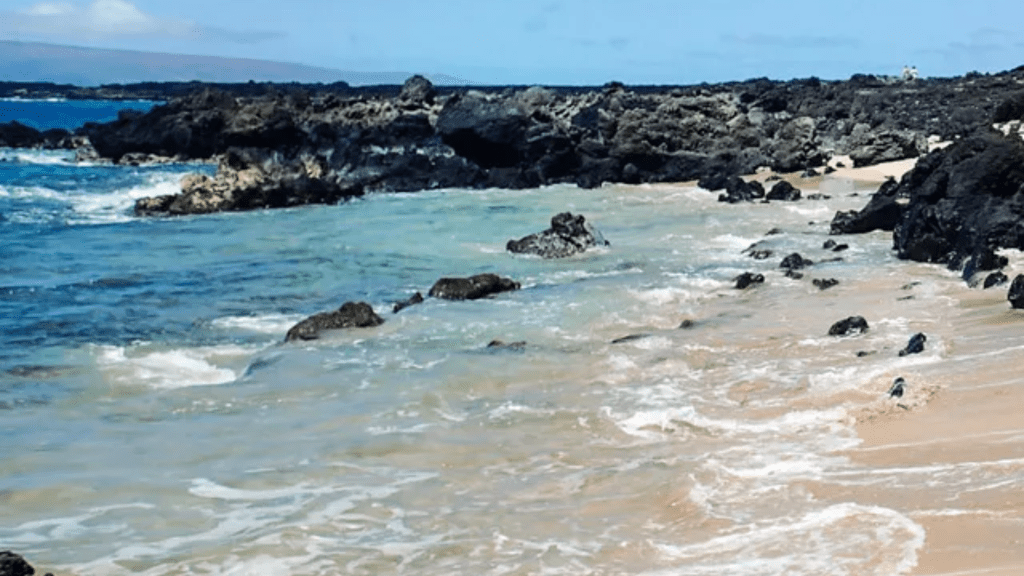
Moving south from Wailea to Makena, you’ll notice that the terrain becomes just a little more raw. While Makena offers some of the south side’s best snorkeling, the entry and exit points can be a little more challenging than at Kihei or Wailea beaches. Makena is a little more exposed to southerly swell than the beaches to the north are, so not only is visibility affected, but the waves can sometimes crash into the lava rocks with such a fury it’s the last place you would want to find yourself. High surf is most typical in summer. During winter, nearly every day will be flat and calm.
Maluaka Beach and Maluaka Landing
The best place for beginner-level snorkeling in Makena is Maluaka Beach in front of the Makena Beach and Golf Resort. There’s a rocky point that wraps around the north end of the beach, and the entry from the sand into the water is gentle and forgiving.
While Maluaka might be the easiest place to snorkel in Makena, the best snorkeling overall can be found at Makena Landing. Getting in the water can be a little challenging here, but once you make it out past the shallow areas, you’ll be glad you made the effort. There are multiple entry and exit points for Makena Landing, the most common of which is the public parking area off Makena Road. To reach the parking area, drive along Makena Alanui until you reach Honoiki Street and the turn for Keawala‘i Church. When you reach the bottom of Honoiki, turn right, and follow the road for a quarter of a mile until you see a parking area on your left.
Once in the water, hug the coastline as it wends its way around the rocky point to the north, and when you have rounded the tip, you’ll notice there is a long finger of lava underwater that extends out toward Molokini. This is what’s known as the South Finger, and there’s a sea cave here that houses green sea turtles. This area is often referred to as Turtle Town by many of the snorkel boat operators, and unless you want to share the water with 200 other snorkelers, try to be out here before 10am when all of the Molokini charter boats begin mooring offshore. If you swim north from the South Finger, you will pass over lime green coral heads. Keep an eye out for moray eels or the strange-looking flying gurnard. Eventually, you’ll come to the North Finger, another underwater lava formation that houses many turtles. This finger is often covered in bright red slate-pencil urchins that the ancient Hawaiians would use for red dye, and eagle rays and manta rays are sometimes seen off the deeper end of the finger.
An alternate entry point for Makena Landing is via the north side at a spot known as Five Graves. Parking is scarce here, and the entry can be challenging, but it’s a much shorter swim to reach the fingers. The beach access is tough to find, however, so you need to pay close attention. Instead of turning into the parking lot on Makena Road, continue driving up and over the hill. When the road drops back down to the shoreline, you’ll notice a dirt area on the right that can fit about five cars. Park here. On the other side of the street you’ll notice a small trail. You’ll know this is the right path if you see five graves in a small graveyard on the left. Follow this trail to the shoreline. The easiest place to get in and out of the water is a protected nook in the rocks on your right. Although the beach area to the left of the trail looks like it would be the easiest, it’s shallow for a long way out, and you don’t want to contend with the breaking waves. On calm days this is the quickest means of reaching the fingers.
Makena State Park
Moving south, there are a few places that offer decent snorkeling inside Makena State Park, the best of which is the point that separates Big Beach from Little Beach. The best thing to do is to park in the first entrance to Big Beach and turn right when you hit the sand. This will bring you to the far northern end of the beach where you can enter the water to snorkel around the point. The surf can get big here in the summer, so this is only possible on a flat day. For more direct access to the reef, clamber up and over the hill to Little Beach and snorkel in the cove off the left side of the bay. If there are waves in the bay, however, it’s best to go elsewhere because this will put you right in the path of oncoming boogie boarders.
Ahihi Kinau
Some say that the best snorkeling in South Maui is at Ahihi Kinau. But once popular spots such as the Fishbowl and the Aquarium are currently closed to the general public (with a possible reopening date in 2016). The only place where you can still snorkel in the Ahihi Kinau Natural Area Reserve is a small cove a mile past Pa‘ako Beach (Secret Cove). Even though the parking situation here can be abysmal, the snorkeling warrants the effort. If you’re not sure if you’re at the right place, the house number of the large estate just past the cove is 7750 and it has a large lava rock wall in front of it. While this cove is not within the dramatic lava flow like the other Ahihi spots, it is still a scenic area for finding reef fish and green sea turtles. Entry into the water can be difficult since you need to go over lava rocks, so on days when there are waves breaking all the way into the cove, find somewhere else to snorkel.
Dumps
On the other side of the hill from the Ahihi Kinau snorkeling area is a cove that’s referred to simply as Dumps. There’s a small gravel parking lot here just before the road begins its trek across the lava flow, and a short five-minute trail leads down to a rocky beach. While the snorkeling here can be good at times, there isn’t that much more to find here that you can’t see at any other South Maui snorkeling spot. The waves can get very large in summer, and you only want to snorkel here if the conditions are completely calm. To reach Dumps, travel 1.6 miles past the first entrance for Big Beach. Don’t leave valuables in your car; break-ins are an ongoing problem.
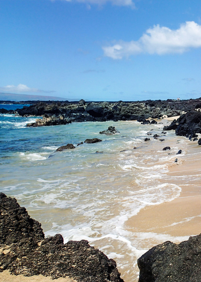
La Perouse Bay
Finally, just when you think that the road will never end, the asphalt gives way to a gravel parking lot in a spot known as La Perouse Bay. The lava field that you drive over en route to La Perouse is the remnants of Haleakala’s last eruption. The bay is named for the French explorer Jean Francois de Galaup Compte de La Pérouse, who in 1786 was the first European to set foot on the island of Maui in this very spot. As you enter the parking area, there’s a stone structure memorializing this event.
The snorkeling in La Perouse Bay can be phenomenal, although there are also times when it can be a total bust. Early mornings are best before the trade winds fill the bay with whitecaps, and summer can bring large surf, which turns the shoreline into a cauldron of white water. On calm days, however, the best snorkeling is found to the right of the parking lot where you must scramble across a lava rock point to reach the protected inlet. The water here is an enchanting color of turquoise against the young black lava rock.
Rental Shops
If you make it all the way down to Makena and realize that you left your mask back in your hotel, you can still rent equipment for the day at the beach activities center in front of the Makena Beach and Golf Resort.
Snorkeling Boats
Kai Kanani (808/879-7218) is the only option for snorkeling boats leaving from Makena. Only a few years old and still sparkling, it has all the added amenities you would expect from a luxury yacht with top-notch captains. Kai Kanani departs directly from Maluaka Beach in front of the Makena Beach and Golf Resort, which, if you’re staying in Makena, makes it a far more convenient option for sailing to Molokini than driving all the way to Ma‘alaea Harbor.
If Molokini was too crowded the last time you visited, Kai Kanani’s early-morning Molokini express charter ($63/adult) departs the beach at 6:30am and guarantees you’re the first boat at the crater. This trip is just over two hours long, and while its second trip of the day ($138/adult) visits the crater when it’s far more crowded, the fact that it’s four hours long as opposed to two allows for twice the amount of snorkeling time. If you’re concerned about getting seasick, the journey time from Maluaka Beach to Molokini is much shorter than the journey between Molokini and Ma‘alaea.
]]>
Moving south from Wailea to Makena, you’ll notice that the terrain becomes just a little more raw. While Makena offers some of the south side’s best snorkeling, the entry and exit points can be a little more challenging than at Kihei or Wailea beaches. Makena is a little more exposed to southerly swell than the beaches to the north are, so not only is visibility affected, but the waves can sometimes crash into the lava rocks with such a fury it’s the last place you would want to find yourself. High surf is most typical in summer. During winter, nearly every day will be flat and calm.
Maluaka Beach and Maluaka Landing
The best place for beginner-level snorkeling in Makena is Maluaka Beach in front of the Makena Beach and Golf Resort. There’s a rocky point that wraps around the north end of the beach, and the entry from the sand into the water is gentle and forgiving.
While Maluaka might be the easiest place to snorkel in Makena, the best snorkeling overall can be found at Makena Landing. Getting in the water can be a little challenging here, but once you make it out past the shallow areas, you’ll be glad you made the effort. There are multiple entry and exit points for Makena Landing, the most common of which is the public parking area off Makena Road. To reach the parking area, drive along Makena Alanui until you reach Honoiki Street and the turn for Keawala‘i Church. When you reach the bottom of Honoiki, turn right, and follow the road for a quarter of a mile until you see a parking area on your left.
Once in the water, hug the coastline as it wends its way around the rocky point to the north, and when you have rounded the tip, you’ll notice there is a long finger of lava underwater that extends out toward Molokini. This is what’s known as the South Finger, and there’s a sea cave here that houses green sea turtles. This area is often referred to as Turtle Town by many of the snorkel boat operators, and unless you want to share the water with 200 other snorkelers, try to be out here before 10am when all of the Molokini charter boats begin mooring offshore. If you swim north from the South Finger, you will pass over lime green coral heads. Keep an eye out for moray eels or the strange-looking flying gurnard. Eventually, you’ll come to the North Finger, another underwater lava formation that houses many turtles. This finger is often covered in bright red slate-pencil urchins that the ancient Hawaiians would use for red dye, and eagle rays and manta rays are sometimes seen off the deeper end of the finger.
An alternate entry point for Makena Landing is via the north side at a spot known as Five Graves. Parking is scarce here, and the entry can be challenging, but it’s a much shorter swim to reach the fingers. The beach access is tough to find, however, so you need to pay close attention. Instead of turning into the parking lot on Makena Road, continue driving up and over the hill. When the road drops back down to the shoreline, you’ll notice a dirt area on the right that can fit about five cars. Park here. On the other side of the street you’ll notice a small trail. You’ll know this is the right path if you see five graves in a small graveyard on the left. Follow this trail to the shoreline. The easiest place to get in and out of the water is a protected nook in the rocks on your right. Although the beach area to the left of the trail looks like it would be the easiest, it’s shallow for a long way out, and you don’t want to contend with the breaking waves. On calm days this is the quickest means of reaching the fingers.
Makena State Park
Moving south, there are a few places that offer decent snorkeling inside Makena State Park, the best of which is the point that separates Big Beach from Little Beach. The best thing to do is to park in the first entrance to Big Beach and turn right when you hit the sand. This will bring you to the far northern end of the beach where you can enter the water to snorkel around the point. The surf can get big here in the summer, so this is only possible on a flat day. For more direct access to the reef, clamber up and over the hill to Little Beach and snorkel in the cove off the left side of the bay. If there are waves in the bay, however, it’s best to go elsewhere because this will put you right in the path of oncoming boogie boarders.
Ahihi Kinau
Some say that the best snorkeling in South Maui is at Ahihi Kinau. But once popular spots such as the Fishbowl and the Aquarium are currently closed to the general public (with a possible reopening date in 2016). The only place where you can still snorkel in the Ahihi Kinau Natural Area Reserve is a small cove a mile past Pa‘ako Beach (Secret Cove). Even though the parking situation here can be abysmal, the snorkeling warrants the effort. If you’re not sure if you’re at the right place, the house number of the large estate just past the cove is 7750 and it has a large lava rock wall in front of it. While this cove is not within the dramatic lava flow like the other Ahihi spots, it is still a scenic area for finding reef fish and green sea turtles. Entry into the water can be difficult since you need to go over lava rocks, so on days when there are waves breaking all the way into the cove, find somewhere else to snorkel.
Dumps
On the other side of the hill from the Ahihi Kinau snorkeling area is a cove that’s referred to simply as Dumps. There’s a small gravel parking lot here just before the road begins its trek across the lava flow, and a short five-minute trail leads down to a rocky beach. While the snorkeling here can be good at times, there isn’t that much more to find here that you can’t see at any other South Maui snorkeling spot. The waves can get very large in summer, and you only want to snorkel here if the conditions are completely calm. To reach Dumps, travel 1.6 miles past the first entrance for Big Beach. Don’t leave valuables in your car; break-ins are an ongoing problem.

La Perouse Bay
Finally, just when you think that the road will never end, the asphalt gives way to a gravel parking lot in a spot known as La Perouse Bay. The lava field that you drive over en route to La Perouse is the remnants of Haleakala’s last eruption. The bay is named for the French explorer Jean Francois de Galaup Compte de La Pérouse, who in 1786 was the first European to set foot on the island of Maui in this very spot. As you enter the parking area, there’s a stone structure memorializing this event.
The snorkeling in La Perouse Bay can be phenomenal, although there are also times when it can be a total bust. Early mornings are best before the trade winds fill the bay with whitecaps, and summer can bring large surf, which turns the shoreline into a cauldron of white water. On calm days, however, the best snorkeling is found to the right of the parking lot where you must scramble across a lava rock point to reach the protected inlet. The water here is an enchanting color of turquoise against the young black lava rock.
Rental Shops
If you make it all the way down to Makena and realize that you left your mask back in your hotel, you can still rent equipment for the day at the beach activities center in front of the Makena Beach and Golf Resort.
Snorkeling Boats
Kai Kanani (808/879-7218) is the only option for snorkeling boats leaving from Makena. Only a few years old and still sparkling, it has all the added amenities you would expect from a luxury yacht with top-notch captains. Kai Kanani departs directly from Maluaka Beach in front of the Makena Beach and Golf Resort, which, if you’re staying in Makena, makes it a far more convenient option for sailing to Molokini than driving all the way to Ma‘alaea Harbor.
If Molokini was too crowded the last time you visited, Kai Kanani’s early-morning Molokini express charter ($63/adult) departs the beach at 6:30am and guarantees you’re the first boat at the crater. This trip is just over two hours long, and while its second trip of the day ($138/adult) visits the crater when it’s far more crowded, the fact that it’s four hours long as opposed to two allows for twice the amount of snorkeling time. If you’re concerned about getting seasick, the journey time from Maluaka Beach to Molokini is much shorter than the journey between Molokini and Ma‘alaea.
]]>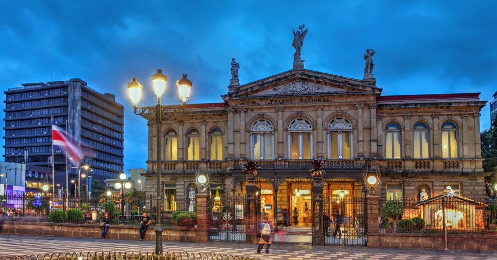
San José’s bar scene offers different strokes for different folks. You’re guaranteed to find a place that fits your style, and several more that will introduce you to new sights, tastes, vibes, music, and dance moves. There are some sketchy dive bars that are unsafe to visit. To avoid these, stick to venues recommended in this guide.
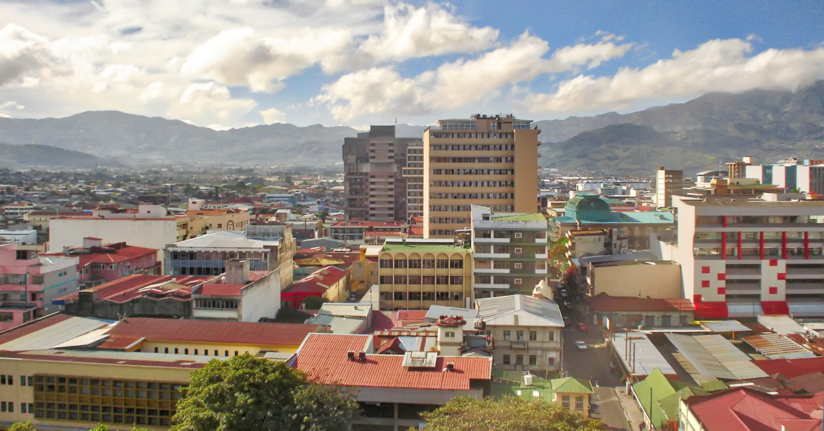
If you prefer to barhop leisurely, the community of Barrio Escalante (a six-square-block area northeast of Avenida 3 and Calle 23), which draws a mature crowd, and the lively, student-filled University District (bordered by Hwy. 2, Calle 57, and Calle 61/Calle de la Amargura)—both in East San José—provide decent clusters of bars. Additional bars are scattered around Barrio La California (bordered by Hwy. 2, Calle 21, Avenida 3, and Calle 29), where Central San José fuses with East San José. In the north of the city, a group of about 20 bars forms the Centro Comercial El Pueblo (Calle 9, just north of Road 108), but this area can be dangerous. Don’t go unless you’re part of a group, ideally with a local who knows the place.
If you’d feel more comfortable hitting the town with a guide or if you’re simply looking to meet new people, hop on the double-decker VIP City Bus and take the VIP Night Tour. On this evening drive around the city, you’ll enjoy drinks on the bus, make stops to explore a few notable sights on foot, including Plaza de la Cultura and Monumento Nacional, and eat dinner at a local restaurant, where additional drinks and shots are served. Food and beverages are included in the cost of the tour, as is transportation from San José hotels.
The Tico Times, an online English-language newspaper geared toward expats, posts evening events in their Arts & Culture and Dining & Nightlife sections. Spanish-language resources for events happening around the city and around the country include local newspaper La Nación, the leading news station Teletica (channel 7 countrywide), and the Sistema de Información Cultural Costa Rica. Their websites are enabled to work with Google Translate, which can provide basic translations.
Start planning your adventure today
San José's Pubs and Bars
The small and sometimes jam-packed El Social occupies a building that dates to the late 1800s and originally contained one of the city’s first cantinas (old-fashioned bars). It shows off a mix of old and new San José, with its handsome tattered brick walls and traditional patterned tile floor juxtaposed against colorful art, a sleek bar, and modern lighting. Top-shelf spirits draw a mature crowd.
The Craic Irish Pub captures the essence of a true Irish bar. It caters to local workers fresh off a shift, boasts an atmosphere of camaraderie, and proudly overuses shamrocks for its decor. It’s also the best place in the city to order a stout, with several varieties of this ale to choose from.
Just about every kind of beer imaginable can be had at the laid-back Costa Rica Beer Factory. It isn’t a pub per se but rather a casual, open-air spot where you can quench your thirst with international imports, Costa Rican domestic beers, and local microbrews. An IPA, Irish red ale, lager, sweet stout, and cider-like fruit beer are manufactured on-site at the factory’s award-winning brewery.
For drinks outdoors, don’t miss the beer garden at Mercado La California, nicknamed El Mercadito. Locals gather indoors and on the outdoor courtyard, tucked away from the street, under twinkling lights to enjoy the secluded hot spot’s assortment of beers and cocktails, DJs, and occasional concerts.
San José's LGBTQ Clubs
La Avispa is the city’s top gay and lesbian bar. The large club has been around since the late 1970s, offers dance floors that pump to a mix of electronic and Latin music, and has a quieter upstairs area that mimics a sports bar. Guest DJs and performers put on wildly entertaining shows.
Live Music in San José
El Observatorio hosts all kinds of live music events in an art-filled venue with a distinguished vibe.
Overlooking the pedestrian boulevard on Avenida Central from the second floor of Hotel Balmoral, El Bar del Patio is a polished but casual bar that has live music on Wednesday and Friday- Saturday evenings.
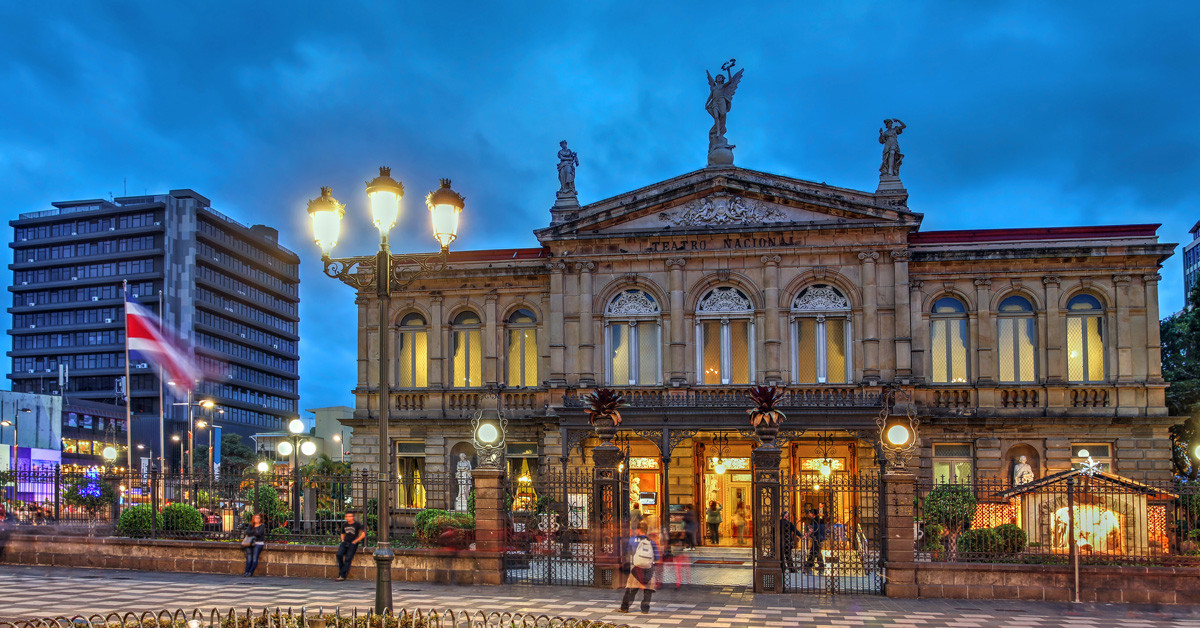
The Arts in San José
San José is home to several small community theaters. However, top performances that catch the attention of most visitors are held at the Teatro Nacional de Costa Rica. The theater’s website displays updated events, including plays, cultural presentations, and performances by Costa Rica’s Latin Grammy-winning Orquesta Sinfónica Nacional.
Explore more warm weather destinations

San José’s bar scene offers different strokes for different folks. You’re guaranteed to find a place that fits your style, and several more that will introduce you to new sights, tastes, vibes, music, and dance moves. There are some sketchy dive bars that are unsafe to visit. To avoid these, stick to venues recommended in this guide.

If you prefer to barhop leisurely, the community of Barrio Escalante (a six-square-block area northeast of Avenida 3 and Calle 23), which draws a mature crowd, and the lively, student-filled University District (bordered by Hwy. 2, Calle 57, and Calle 61/Calle de la Amargura)—both in East San José—provide decent clusters of bars. Additional bars are scattered around Barrio La California (bordered by Hwy. 2, Calle 21, Avenida 3, and Calle 29), where Central San José fuses with East San José. In the north of the city, a group of about 20 bars forms the Centro Comercial El Pueblo (Calle 9, just north of Road 108), but this area can be dangerous. Don’t go unless you’re part of a group, ideally with a local who knows the place.
If you’d feel more comfortable hitting the town with a guide or if you’re simply looking to meet new people, hop on the double-decker VIP City Bus and take the VIP Night Tour. On this evening drive around the city, you’ll enjoy drinks on the bus, make stops to explore a few notable sights on foot, including Plaza de la Cultura and Monumento Nacional, and eat dinner at a local restaurant, where additional drinks and shots are served. Food and beverages are included in the cost of the tour, as is transportation from San José hotels.
The Tico Times, an online English-language newspaper geared toward expats, posts evening events in their Arts & Culture and Dining & Nightlife sections. Spanish-language resources for events happening around the city and around the country include local newspaper La Nación, the leading news station Teletica (channel 7 countrywide), and the Sistema de Información Cultural Costa Rica. Their websites are enabled to work with Google Translate, which can provide basic translations.
Start planning your adventure today
San José's Pubs and Bars
The small and sometimes jam-packed El Social occupies a building that dates to the late 1800s and originally contained one of the city’s first cantinas (old-fashioned bars). It shows off a mix of old and new San José, with its handsome tattered brick walls and traditional patterned tile floor juxtaposed against colorful art, a sleek bar, and modern lighting. Top-shelf spirits draw a mature crowd.
The Craic Irish Pub captures the essence of a true Irish bar. It caters to local workers fresh off a shift, boasts an atmosphere of camaraderie, and proudly overuses shamrocks for its decor. It’s also the best place in the city to order a stout, with several varieties of this ale to choose from.
Just about every kind of beer imaginable can be had at the laid-back Costa Rica Beer Factory. It isn’t a pub per se but rather a casual, open-air spot where you can quench your thirst with international imports, Costa Rican domestic beers, and local microbrews. An IPA, Irish red ale, lager, sweet stout, and cider-like fruit beer are manufactured on-site at the factory’s award-winning brewery.
For drinks outdoors, don’t miss the beer garden at Mercado La California, nicknamed El Mercadito. Locals gather indoors and on the outdoor courtyard, tucked away from the street, under twinkling lights to enjoy the secluded hot spot’s assortment of beers and cocktails, DJs, and occasional concerts.
San José's LGBTQ Clubs
La Avispa is the city’s top gay and lesbian bar. The large club has been around since the late 1970s, offers dance floors that pump to a mix of electronic and Latin music, and has a quieter upstairs area that mimics a sports bar. Guest DJs and performers put on wildly entertaining shows.
Live Music in San José
El Observatorio hosts all kinds of live music events in an art-filled venue with a distinguished vibe.
Overlooking the pedestrian boulevard on Avenida Central from the second floor of Hotel Balmoral, El Bar del Patio is a polished but casual bar that has live music on Wednesday and Friday- Saturday evenings.

The Arts in San José
San José is home to several small community theaters. However, top performances that catch the attention of most visitors are held at the Teatro Nacional de Costa Rica. The theater’s website displays updated events, including plays, cultural presentations, and performances by Costa Rica’s Latin Grammy-winning Orquesta Sinfónica Nacional.
Explore more warm weather destinations

If you're looking to move to Costa Rica, this whirlwind sampler of expat hot spots casts a wide net, allowing you to see as much as possible in less than two weeks.
Ten days will fly by in Costa Rica, especially if you’re trying to catch a glimpse of many different parts of the country. This itinerary won’t leave much downtime, but it will give you a taste of both coasts, the Central Valley (where most expats live), and the country’s most active volcano. This tour hits on many of the most popular tourist areas as well, so you can surf or snorkel in the Pacific and the Caribbean, visit much-loved Manuel Antonio National Park, and soak in the hot springs below Arenal Volcano.

The three big tourist guns this tour leaves out are the mountain town of Monteverde, known for its cloud forest preserve and its Quaker community; the Osa Peninsula, Costa Rica’s answer to the Amazon and home to Corcovado National Park; and Tortuguero National Park on the northern Caribbean coast, with its crocodiles, sea turtles, and even manatees. You could substitute Monteverde for Arenal on this 10-day itinerary, but to do justice to the Osa or Tortuguero, you’d want at least three days for each. Neither Tortuguero nor the Osa qualifies as an expat hot spot, though some hardy souls have braved these remote areas and now make their homes there.
In terms of transportation, if you feel confident about driving in unfamiliar territory, rent a car in San José and drive to all of the places mentioned. This approach has the added benefit of allowing you to see the hidden-away towns and striking landscapes between the more well-known destinations.
But if the thought of driving Costa Rica’s fabled roads makes you anxious, with a little planning you can piece together short flights, bus or minivan travel, and taxi rides. All of the places listed on this itinerary are popular enough that such services will be easy to arrange.
Days 1-2: San José and Environs
Fly into Juan Santamaría airport just outside the capital city. Stay in town the first night, exploring some of the city’s better neighborhoods (like Los Yoses and San Pedro in the west, Rohrmoser and La Sabana to the north). Get a sense of city life by walking the downtown pedestrian mall (the Paseo Colón), have coffee at the café in the historic National Theater, and check out the nearby Gold Museum. For your second night, stay in a hotel outside of the city, to the west if the next day you’ll explore the western suburbs (Escazú, Santa Ana, Ciudad Colón) or to the north if you want to get a sense of cities like Heredia and Alajuela or towns such as Sarchí and Grecia. Give yourself a break and don’t try to see both the towns west of San José and the northern ones. Leave time for a leisurely lunch and gossiping with the taxi driver or waitress. Take time, too, to see what’s for sale in the omnipresent supermarkets and malls. The Central Valley is where the whole country comes to shop.
Even if you have rented a car, this part of the trip might be more enjoyable if you leave your car parked in the hotel lot and hire a driver. It takes some time to figure out how to get around San José and its environs; you don’t want to spend all your time getting lost or cursing the traffic. Ask at your hotel for a car and driver, or negotiate with a taxi driver to hire him or her for a few hours or the entire day. Ten dollars an hour is not an uncommon price for such services—cheaper than letting the meter run. (These services are likely to cost more outside the Central Valley, where there’s less competition among drivers and the roads are worse.)
Another option is to rent a car the day you want to leave the San José area, relying on taxis or hotel shuttles until then.
Day 3: Zona Norte
Drive, take a small plane, or ride a bus or minivan north to the town of La Fortuna. Nearby you’ll find Lake Arenal, famous among windsurfers, and active Arenal Volcano, with a variety of hot springs nearby. The trip from San José to La Fortuna winds through some lovely scenery, and the Arenal area itself is lushly gorgeous. There’s an ever-growing community of expats clustered around the lake, people who appreciate the cooler weather and the low-key vibe.
Days 4-5: Northern Guanacaste Beaches
Drive or fly to Playas del Coco or Tamarindo. Playas del Coco will be of interest to visitors drawn to the convenience of the area (less than an hour from Liberia’s international airport and on good roads) or who’d like to take a look at all the condos going in there. Visit nearby Playa Ocotal, less hectic than Coco and one of the nicest little coves around, and head north to Playa Hermosa, another expat hot spot.
Tamarindo will appeal to young partiers set or to those who want to surf or see giant seas turtles laying their eggs. Once a little fishing village, these days Tamarindo is growing so fast you can hear its bones creak.
Start planning your adventure today
Day 6: The Nicoya Peninsula
Drive or fly to either the Nosara-Playa Sámara area (halfway down the Nicoya Peninsula) or the Montezuma-Mal País area (at the southern tip of the peninsula). Both areas are less developed than northern Guanacaste beaches like Tamarindo or Playas del Coco, though these southerly areas are also experiencing their own smaller booms. Nosara has the Nosara Yoga Institute and good beaches for swimming and surfing; Sámara is a more typical low-key resort popular with Ticos, with a beach good for learning to surf.
Montezuma is a pretty little alternative-flavored town popular with backpackers but also providing services for more luxury-minded travelers. Mal País (and nearby Santa Teresa) is a surfer’s haven, and its one-strip wonder of a town has seen a lot of growth lately.
Between Montezuma and Mal País is Cabo Blanco Reserve, worth a day’s visit—walk through the forest for a few hours and arrive at a pristine white-sand beach, where you may be the only one there. Both areas have growing international expat communities.
Day 7: Central Pacific Coast
Drive or fly to the popular beach (and slightly seedy) town of Jacó or to Quepos and nearby Manuel Antonio National Park, the most-visited park in all of Costa Rica. In both areas you are in high tourism mode, which may be a bit of a shock after laid-back Montezuma and Mal País. If you drive, you’ll need to take the car ferry from the tip of the Nicoya Peninsula (Paquera) to Puntarenas, then drive south on the coast road. Jacó comes first, and it’s easy to feel overwhelmed there. Literally hundreds of condos are in the works, and the town is getting more and more rambunctious, with partying of all kinds on the rise. But it’s good to see the place, if only for comparison. Check out the condo prices here, compare them to houses for sale in out-of-the-way towns, and marvel at the huge difference.
Quepos, an hour south, is slightly less overwhelming. It’s the gateway to Manuel Antonio National Park. Although crowded in high season, the park is also beautiful. Tangled jungle spills down the hill to meet white-sand beaches, and the trees are full of monkeys and sloths.
Day 8: Dominical Area
If you stay one night in Jacó and another in the Quepos area, skip Dominical, which is another hour south of Quepos on the coast. The farther south you go, the less touristy it gets. Dominical has a long beach where the waves pound in—great for surfers, not so great for swimmers. Nearby Ojochal is a little French-Canadian-infused haven with stylish hotels and a few excellent restaurants.
Days 9-10: Southern Caribbean Coast
If you’re driving, you’ll take the road inland from Dominical, pass through San Isidro de El General, then head north toward San José (driving time would be 3-4 hours, depending on road conditions). From the San José area to the Caribbean coast is another 3-4-hour drive. If you fly, you’ll fly from Jacó or Quepos to San José, then from San José to Limón; each flight is under an hour.
This coast has a very different feel from the Pacific coast. It’s wetter and less developed, and real estate is cheaper. It also has more racial diversity than the rest of Costa Rica; most of the country’s blacks and indigenous people live in the Zona Caribe.
Check out Cahuita and its lovely beachside national park, then surf, party, and take long flat bike rides in Puerto Viejo. Down the road from Puerto Viejo is Gandoca-Manzanillo National Wildlife Refuge, one of the less-visited jewels in the national park system. You can also visit indigenous reserves.
More adventures await


If you're looking to move to Costa Rica, this whirlwind sampler of expat hot spots casts a wide net, allowing you to see as much as possible in less than two weeks.
Ten days will fly by in Costa Rica, especially if you’re trying to catch a glimpse of many different parts of the country. This itinerary won’t leave much downtime, but it will give you a taste of both coasts, the Central Valley (where most expats live), and the country’s most active volcano. This tour hits on many of the most popular tourist areas as well, so you can surf or snorkel in the Pacific and the Caribbean, visit much-loved Manuel Antonio National Park, and soak in the hot springs below Arenal Volcano.

The three big tourist guns this tour leaves out are the mountain town of Monteverde, known for its cloud forest preserve and its Quaker community; the Osa Peninsula, Costa Rica’s answer to the Amazon and home to Corcovado National Park; and Tortuguero National Park on the northern Caribbean coast, with its crocodiles, sea turtles, and even manatees. You could substitute Monteverde for Arenal on this 10-day itinerary, but to do justice to the Osa or Tortuguero, you’d want at least three days for each. Neither Tortuguero nor the Osa qualifies as an expat hot spot, though some hardy souls have braved these remote areas and now make their homes there.
In terms of transportation, if you feel confident about driving in unfamiliar territory, rent a car in San José and drive to all of the places mentioned. This approach has the added benefit of allowing you to see the hidden-away towns and striking landscapes between the more well-known destinations.
But if the thought of driving Costa Rica’s fabled roads makes you anxious, with a little planning you can piece together short flights, bus or minivan travel, and taxi rides. All of the places listed on this itinerary are popular enough that such services will be easy to arrange.

Days 1-2: San José and Environs
Fly into Juan Santamaría airport just outside the capital city. Stay in town the first night, exploring some of the city’s better neighborhoods (like Los Yoses and San Pedro in the west, Rohrmoser and La Sabana to the north). Get a sense of city life by walking the downtown pedestrian mall (the Paseo Colón), have coffee at the café in the historic National Theater, and check out the nearby Gold Museum. For your second night, stay in a hotel outside of the city, to the west if the next day you’ll explore the western suburbs (Escazú, Santa Ana, Ciudad Colón) or to the north if you want to get a sense of cities like Heredia and Alajuela or towns such as Sarchí and Grecia. Give yourself a break and don’t try to see both the towns west of San José and the northern ones. Leave time for a leisurely lunch and gossiping with the taxi driver or waitress. Take time, too, to see what’s for sale in the omnipresent supermarkets and malls. The Central Valley is where the whole country comes to shop.
Even if you have rented a car, this part of the trip might be more enjoyable if you leave your car parked in the hotel lot and hire a driver. It takes some time to figure out how to get around San José and its environs; you don’t want to spend all your time getting lost or cursing the traffic. Ask at your hotel for a car and driver, or negotiate with a taxi driver to hire him or her for a few hours or the entire day. Ten dollars an hour is not an uncommon price for such services—cheaper than letting the meter run. (These services are likely to cost more outside the Central Valley, where there’s less competition among drivers and the roads are worse.)
Another option is to rent a car the day you want to leave the San José area, relying on taxis or hotel shuttles until then.
Day 3: Zona Norte
Drive, take a small plane, or ride a bus or minivan north to the town of La Fortuna. Nearby you’ll find Lake Arenal, famous among windsurfers, and active Arenal Volcano, with a variety of hot springs nearby. The trip from San José to La Fortuna winds through some lovely scenery, and the Arenal area itself is lushly gorgeous. There’s an ever-growing community of expats clustered around the lake, people who appreciate the cooler weather and the low-key vibe.

Days 4-5: Northern Guanacaste Beaches
Drive or fly to Playas del Coco or Tamarindo. Playas del Coco will be of interest to visitors drawn to the convenience of the area (less than an hour from Liberia’s international airport and on good roads) or who’d like to take a look at all the condos going in there. Visit nearby Playa Ocotal, less hectic than Coco and one of the nicest little coves around, and head north to Playa Hermosa, another expat hot spot.
Tamarindo will appeal to young partiers set or to those who want to surf or see giant seas turtles laying their eggs. Once a little fishing village, these days Tamarindo is growing so fast you can hear its bones creak.
Start planning your adventure today
Day 6: The Nicoya Peninsula
Drive or fly to either the Nosara-Playa Sámara area (halfway down the Nicoya Peninsula) or the Montezuma-Mal País area (at the southern tip of the peninsula). Both areas are less developed than northern Guanacaste beaches like Tamarindo or Playas del Coco, though these southerly areas are also experiencing their own smaller booms. Nosara has the Nosara Yoga Institute and good beaches for swimming and surfing; Sámara is a more typical low-key resort popular with Ticos, with a beach good for learning to surf.
Montezuma is a pretty little alternative-flavored town popular with backpackers but also providing services for more luxury-minded travelers. Mal País (and nearby Santa Teresa) is a surfer’s haven, and its one-strip wonder of a town has seen a lot of growth lately.
Between Montezuma and Mal País is Cabo Blanco Reserve, worth a day’s visit—walk through the forest for a few hours and arrive at a pristine white-sand beach, where you may be the only one there. Both areas have growing international expat communities.

Day 7: Central Pacific Coast
Drive or fly to the popular beach (and slightly seedy) town of Jacó or to Quepos and nearby Manuel Antonio National Park, the most-visited park in all of Costa Rica. In both areas you are in high tourism mode, which may be a bit of a shock after laid-back Montezuma and Mal País. If you drive, you’ll need to take the car ferry from the tip of the Nicoya Peninsula (Paquera) to Puntarenas, then drive south on the coast road. Jacó comes first, and it’s easy to feel overwhelmed there. Literally hundreds of condos are in the works, and the town is getting more and more rambunctious, with partying of all kinds on the rise. But it’s good to see the place, if only for comparison. Check out the condo prices here, compare them to houses for sale in out-of-the-way towns, and marvel at the huge difference.
Quepos, an hour south, is slightly less overwhelming. It’s the gateway to Manuel Antonio National Park. Although crowded in high season, the park is also beautiful. Tangled jungle spills down the hill to meet white-sand beaches, and the trees are full of monkeys and sloths.
Day 8: Dominical Area
If you stay one night in Jacó and another in the Quepos area, skip Dominical, which is another hour south of Quepos on the coast. The farther south you go, the less touristy it gets. Dominical has a long beach where the waves pound in—great for surfers, not so great for swimmers. Nearby Ojochal is a little French-Canadian-infused haven with stylish hotels and a few excellent restaurants.

Days 9-10: Southern Caribbean Coast
If you’re driving, you’ll take the road inland from Dominical, pass through San Isidro de El General, then head north toward San José (driving time would be 3-4 hours, depending on road conditions). From the San José area to the Caribbean coast is another 3-4-hour drive. If you fly, you’ll fly from Jacó or Quepos to San José, then from San José to Limón; each flight is under an hour.
This coast has a very different feel from the Pacific coast. It’s wetter and less developed, and real estate is cheaper. It also has more racial diversity than the rest of Costa Rica; most of the country’s blacks and indigenous people live in the Zona Caribe.
Check out Cahuita and its lovely beachside national park, then surf, party, and take long flat bike rides in Puerto Viejo. Down the road from Puerto Viejo is Gandoca-Manzanillo National Wildlife Refuge, one of the less-visited jewels in the national park system. You can also visit indigenous reserves.
More adventures await

I have a love-hate relationship with Costa Rica’s border crossings. It’s great being able to explore the neighboring countries of Panama and Nicaragua. But long lines, piles of paperwork, and the ambiguity of border crossing requirements can be downright frustrating for travelers. There are some things you cannot control, like delays and grumpy customs officials, but you can help your travel experience be as stress-free as possible by arriving at a frontera (border) prepared.
You’ll need to pay an land exit tax ($8 pp) to leave Costa Rica, complete paperwork at a Costa Rican oficina de migración (migration office), physically cross the border, complete additional paperwork at the destination country’s migration office, and possibly pay an entrance fee ($14 pp to enter Nicaragua; entrance to Panama is free, though you'll be asked to make a $3 voluntary payment). The land exit tax must be paid through Banco de Costa Rica (BCR), either online with a credit card via the BCR website or in person at any BCR bank in the country. Though some border towns have BCR kiosks that accept payment of the fee, they're often out of service, so it's best to complete the payment process before you travel to the area. Don’t be alarmed if representatives hand you paperwork to fill out as you approach a migration office line. This is to help expedite processing times, especially during busy periods.
Border towns are not safe tourist destinations. Most don’t offer decent lodging or dining opportunities, so avoid staying overnight. If you’re traveling by bus, depart in the morning so you arrive at the border as early as possible. The later you arrive, the more likely an unforeseen delay will lead to a missed connection, which could leave you stranded in an unsafe area.
Migration Office Locations
Southern Caribbean region: Costa Rica’s migration office at Sixaola (7am-5pm daily) is 200 meters north of the border with Panama.
Southern Pacific region: Costa Rica’s migration office at Paso Canoas (6am-10pm daily) is across from the bus station, 100 meters northwest of the border with Panama.
Guanacaste: Costa Rica’s migration office at Peñas Blancas (6am-midnight daily) is by the bus station, 350 meters south of the border with Nicaragua.
Northern Inlands: Costa Rica’s migration office at Las Tablillas/Los Chiles (7am-5pm daily) is immediately south of the border with Nicaragua.
Be Prepared
- You may be pulled over on the side of the highway as part of a routine police check within a few kilometers of any border town.
- Prepay the land exit tax before traveling to the border, and keep your electronic or paper receipt (called a comprobante) handy when visiting the migration office .
- You should be able to provide proof of funds (at least US $300) and proof of exit from the country you plan to enter within 90 days. Proof of exit must be in the form of a confirmed bus ticket, flight, or cruise ship departure.
- You may have your bags searched after crossing into a new country.
- Have your passport and at least two hard copies of the identification page handy. Bring a pen to fill out paperwork.
- Keep all paperwork and receipts you are given. You may need to show them later, especially if you plan to reenter Costa Rica.
- Make sure your passport gets marked with entrance and exit stamps when you enter and depart countries.
- Exchange your Costa Rican colones into Panamanian balboas or Nicaraguan córdobas before arriving at a border (if desired). Another option is to exchange money through unofficial parties who loiter around border crossings, but make sure you know the going exchange rate to avoid a bad deal.
- Set your watch or clock one hour later than Costa Rica time if you’re entering Panama.
Start planning your adventure today
More adventures await

I have a love-hate relationship with Costa Rica’s border crossings. It’s great being able to explore the neighboring countries of Panama and Nicaragua. But long lines, piles of paperwork, and the ambiguity of border crossing requirements can be downright frustrating for travelers. There are some things you cannot control, like delays and grumpy customs officials, but you can help your travel experience be as stress-free as possible by arriving at a frontera (border) prepared.
You’ll need to pay an land exit tax ($8 pp) to leave Costa Rica, complete paperwork at a Costa Rican oficina de migración (migration office), physically cross the border, complete additional paperwork at the destination country’s migration office, and possibly pay an entrance fee ($14 pp to enter Nicaragua; entrance to Panama is free, though you'll be asked to make a $3 voluntary payment). The land exit tax must be paid through Banco de Costa Rica (BCR), either online with a credit card via the BCR website or in person at any BCR bank in the country. Though some border towns have BCR kiosks that accept payment of the fee, they're often out of service, so it's best to complete the payment process before you travel to the area. Don’t be alarmed if representatives hand you paperwork to fill out as you approach a migration office line. This is to help expedite processing times, especially during busy periods.
Border towns are not safe tourist destinations. Most don’t offer decent lodging or dining opportunities, so avoid staying overnight. If you’re traveling by bus, depart in the morning so you arrive at the border as early as possible. The later you arrive, the more likely an unforeseen delay will lead to a missed connection, which could leave you stranded in an unsafe area.

Migration Office Locations
Southern Caribbean region: Costa Rica’s migration office at Sixaola (7am-5pm daily) is 200 meters north of the border with Panama.
Southern Pacific region: Costa Rica’s migration office at Paso Canoas (6am-10pm daily) is across from the bus station, 100 meters northwest of the border with Panama.
Guanacaste: Costa Rica’s migration office at Peñas Blancas (6am-midnight daily) is by the bus station, 350 meters south of the border with Nicaragua.
Northern Inlands: Costa Rica’s migration office at Las Tablillas/Los Chiles (7am-5pm daily) is immediately south of the border with Nicaragua.
Be Prepared
- You may be pulled over on the side of the highway as part of a routine police check within a few kilometers of any border town.
- Prepay the land exit tax before traveling to the border, and keep your electronic or paper receipt (called a comprobante) handy when visiting the migration office .
- You should be able to provide proof of funds (at least US $300) and proof of exit from the country you plan to enter within 90 days. Proof of exit must be in the form of a confirmed bus ticket, flight, or cruise ship departure.
- You may have your bags searched after crossing into a new country.
- Have your passport and at least two hard copies of the identification page handy. Bring a pen to fill out paperwork.
- Keep all paperwork and receipts you are given. You may need to show them later, especially if you plan to reenter Costa Rica.
- Make sure your passport gets marked with entrance and exit stamps when you enter and depart countries.
- Exchange your Costa Rican colones into Panamanian balboas or Nicaraguan córdobas before arriving at a border (if desired). Another option is to exchange money through unofficial parties who loiter around border crossings, but make sure you know the going exchange rate to avoid a bad deal.
- Set your watch or clock one hour later than Costa Rica time if you’re entering Panama.
Start planning your adventure today
More adventures await
Costa Rica is a wonderland! Give yourself a generous amount of time to explore it with this two-week itinerary, where you'll experience the best of the Costa Rica's outdoor recreation, immerse yourself in the culture, encounter wildlife, and relax on the beach. Read on for a local take on what to do in two weeks:
Day 1: Río Pacuare
Kick off your trip with big thrills and dramatic jungle landscape on a white-water rafting tour down the secluded Río Pacuare. The Class III and IV rapids will have you shouting Costa Rica’s catchphrase—“pura vida!”—with elation as you brave them between narrow canyons, beside tall waterfalls, and at the base of mountains. With departures from San José, onward transportation to La Fortuna, and complimentary breakfast and lunch, this all-inclusive excursion makes getting from the airport zone to the northern inland area both fun and effortless and provides a first full vacation day that is truly unforgettable.
Day 2: La Fortuna

Welcome to the epicenter of adventure! Cross off multiple bucket list experiences at La Fortuna, home to several of Costa Rica’s top nature and adventure experiences and the eye-catching conical Volcán Arenal. On your first day at this action-packed destination, rent a car from a local agency and set out to explore the lush rainforest from top to bottom. Start with a morning walk across hanging bridges that cut through leafy rainforest canopy at the Místico Arenal Hanging Bridges Park. Then head to the picturesque Catarata Río Fortuna, but stop for a plateful of traditional Costa Rican food at Soda Víquez or a plant-based meal at The Green Spoon on the way. Take the rest of the day to swim in the waterfall’s river, take photos, and admire the grand rainforest at ground level. For dinner, fill up on food at Don Rufino Restaurante, a steak house.
Day 3: La Fortuna
Ready yourself for the rush of adrenaline that comes with zip-lining above the rainforest on the foothills of a volcano. Sign up for the experience at the Arenal Sky Adventures Park, where the zip-line circuit features panoramic volcano, lake, and rainforest views. In the afternoon and evening, offset the day’s exhilaration with sublime relaxation at the elegant Springs Resort & Spa. Hop between the resort’s many hot spring pools and lagoons to soak in rejuvenating thermal water at varying temperatures. Grab a casual lunch at Soda La Palma on your way to the resort and splurge on a meal at one of the resort’s on-site restaurants at dinnertime.
Day 4: La Fortuna
Take this day to explore an attraction outside of La Fortuna. Go hiking at Parque Nacional Volcán Tenorio to lay your eyes on the striking blue Río Celeste, or take part in bird-watching and boating at the tranquil Refugio Nacional de Vida Silvestre Mixto Caño Negro. Have kids in tow? Introduce them to a variety of rescued wildlife—and the benevolent actions underway to protect them—at the Proyecto Asis Wildlife and Sloth Rescue Center. Back in La Fortuna, enjoy Italian food for dinner and dessert at the quiet Anch’io Pizzeria e Ristorante.
Start planning your adventure today
Day 5: Tamarindo
Depart from La Fortuna for the Pacific coast. Make your way to the beach town of Tamarindo, but not before taking a few hours to experience a top attraction accessed from the route. If bird-watching is your thing, eye all kinds of waterfowl at Parque Nacional Palo Verde. Alternatively, pop into Catarata Llanos del Cortés to go swimming, or detour up to Rincón de la Vieja to check out a ranch or adventure park. If you’d rather see a luxurious corner of Costa Rica, explore Peninsula Papagayo. Arrive at Tamarindo in time to watch the sunset, ideally while parked on Playa Tamarindo with a sangria in your hand from TABÚ. Dine by the water’s edge, casually at Nogui’s or more formally at the Pangas Beach Club. After dark, savor a cocktail or mocktail at CATA.
Day 6: Tamarindo
Feeling lazy? For most of this day, do nothing but lounge on the beach, soak up sunrays, and stroll and shop along Tamarindo’s main drag. Eat a plateful of home-style traditional food at Soda Buffet El Estero or plant-based food at the Flora Vegan Café. Midafternoon, muster up the energy to go horseback riding at the Black Stallion Eco Park to see a glorious sunset from a hilltop and feast on a hearty buffet dinner. After dark, embrace the destination’s lively nightlife with dancing at the Crazy Monkey Bar, if you’re in town on a Friday, or drinks at the Lizard Lounge.
Day 7: Tamarindo
Dedicate this day to exploring the water on a day trip taken from Tamarindo. Advanced-level surfers, sign up for an unforgettable surf tour to the legendary breaks Witch’s Rock and Ollie’s Point. Experienced scuba divers, take a dive tour to either Islas Murcielago or Islas Catalina, two famed dive sites. For a more relaxing day, hop between Playa Flamingo, Playa Conchal, and Playa Puerto Viejo, a string of beaches that are suitable for swimming. On your final evening in Tamarindo, be at the beachfront El Vaquero Pub to catch another spectacular sunset and cool off with a pre-dinner ale, then retreat to the Dragonfly Bar & Grill to enjoy a fantastic meal and possibly some live music.
Day 8: Monteverde
Take the morning to travel from Tamarindo to Monteverde. Along the way, note the landscape’s enchanting transition from dry-forest-backed beaches along the coast to mountainous slopes blanketed by verdant cloud forest. After settling in, eat a fresh light lunch at Orchid Coffee. In the afternoon, take a farm tour to learn how coffee and other products grow in Costa Rica, and to meet friendly locals who take pleasure in sharing their rural traditions with visitors. Carry the warmth of their hospitality into the evening with a lovely dinner at Ristorante e Pizzeria Tramonti.
Day 9: Monteverde

Wake up to the invigorating natural chorus that echoes the cloud forest’s rich biodiversity. Set out to explore the misty ecosystem on foot, possibly see some of its resident wildlife, and connect with nature mindfully. Let the peaceful stately Reserva Biológica Bosque Nuboso de Santa Elena humble you while hiking the nature trails that thread the dense reserve. When hunger strikes, eat lunch at The Open Kitchen, then spend the afternoon exploring one of Monteverde’s other nature reserves or relaxing at your hotel. Bookend the day with cloud forest immersion by delighting in the multicourse gourmet dinner constructed by the San Lucas Treetop Dining Experience; the meal is served in a glass box tucked away in the trees.
Day 10: Monteverde
If you enjoyed zip-lining in La Fortuna, double your fun by experiencing the thrill again, in Monteverde. At this destination, the aerial views of wild cloud forest-wrapped terrain and the rare opportunity to go zip-lining through clouds provide new experiences. Discover them at the Treetopia Park. Give yourself anywhere from a few hours to a full day at the park, depending on if you also want to explore the on-site hanging bridges or challenge yourself to an amusing obstacle course in the forest. For dinner, chomp on international food at the Choco Café, and don’t leave without indulging in one of the café’s sumptuous desserts.
Day 11: Manuel Antonio
Travel leisurely from Monteverde to Manuel Antonio and enjoy the scenic trip. Marvel at the valley views on full display while you descend the mountainous inland area, and the ocean views that appear as you approach the Pacific coast. Pull over at the Crocodile Bridge to spy on a group of crocodiles basking on a riverbank. Make another stop at the roadside Parque Nacional Carara to stretch your legs with some gentle hiking and try your luck at spotting scarlet macaws and other remarkable avifauna. Pop into downtown Jacó to have lunch at the Green Room. Later, in Manuel Antonio, go for an early dinner at a hillside restaurant such as Mi Lugar or El Lagarto, where the setting sun provides a magnificent backdrop for a relaxing dining experience.
Day 12: Manuel Antonio
Dedicate much of this day to searching for—and successfully spotting—Manuel Antonio’s abundant wildlife. Start at Parque Nacional Manuel Antonio, where monkeys and sloths make regular appearances. Walk the park’s nature trails to see additional wildlife but also give yourself time to relax at the park’s stunning beaches, including Playa Manuel Antonio and Playa Espadilla Sur. Midday, break for lunch at El Patio de Café Milagro, then carry on with the quest to find fauna at Isla Damas. Spend a few hours boating or kayaking through the mangroves to see the wildlife that resides among the ecosystem’s showy root system and brackish waters. Celebrate the day’s wondrous discoveries with an elevated dinner at La Luna.
Day 13: Manuel Antonio
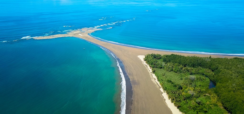
Carve out this day to take a relaxing road trip down the coast to the Costa Ballena. Visit Cataratas Nauyaca first to ease into the day with the sight of a beautiful two-tiered waterfall and a swim in its calm pool. Eat lunch in Dominical at the riverside Café Mono Congo, then make your way to Parque Nacional Marino Ballena in Uvita. Walk out into the Pacific Ocean on the whale-tail sandbar if it’s low tide, or take a whale-watching boat tour if it’s whale season. If your visit doesn’t coincide with either of these events, spend a few hours lounging and swimming at one of the Costa Ballena’s beaches, such as Playa Uvita inside the park or Playa Ventanas outside of the park. Eat an early dinner in Ojochal, known for its cuisine, at one of several revered restaurants, like Citrus.
Day 14: Manuel Antonio
In the morning, take a pleasant sailing, snorkeling, and dolphin-watching tour that showcases the region’s diverse landscape. The multilayered masterpiece composed of mountains and volcanoes, forest-filled hills, and beach-lined coastline perfectly illustrates Costa Rica’s multifarious appeal; salute your time in the country by taking a moment to reflect on all that it has given you. Although lunch is included with the tour, don’t leave Manuel Antonio before treating yourself to a delectable dessert and one more spectacular ocean view at the hillside Emilio’s Café. In the afternoon, travel back to the airport zone, and don’t fault yourself for dreaming about a return trip already. You’ve hit the highlights, but there is plenty more of Costa Rica to explore and love.
More adventures await
Pin it for later


Costa Rica is a wonderland! Give yourself a generous amount of time to explore it with this two-week itinerary, where you'll experience the best of the Costa Rica's outdoor recreation, immerse yourself in the culture, encounter wildlife, and relax on the beach. Read on for a local take on what to do in two weeks:
Day 1: Río Pacuare
Kick off your trip with big thrills and dramatic jungle landscape on a white-water rafting tour down the secluded Río Pacuare. The Class III and IV rapids will have you shouting Costa Rica’s catchphrase—“pura vida!”—with elation as you brave them between narrow canyons, beside tall waterfalls, and at the base of mountains. With departures from San José, onward transportation to La Fortuna, and complimentary breakfast and lunch, this all-inclusive excursion makes getting from the airport zone to the northern inland area both fun and effortless and provides a first full vacation day that is truly unforgettable.
Day 2: La Fortuna

Welcome to the epicenter of adventure! Cross off multiple bucket list experiences at La Fortuna, home to several of Costa Rica’s top nature and adventure experiences and the eye-catching conical Volcán Arenal. On your first day at this action-packed destination, rent a car from a local agency and set out to explore the lush rainforest from top to bottom. Start with a morning walk across hanging bridges that cut through leafy rainforest canopy at the Místico Arenal Hanging Bridges Park. Then head to the picturesque Catarata Río Fortuna, but stop for a plateful of traditional Costa Rican food at Soda Víquez or a plant-based meal at The Green Spoon on the way. Take the rest of the day to swim in the waterfall’s river, take photos, and admire the grand rainforest at ground level. For dinner, fill up on food at Don Rufino Restaurante, a steak house.
Day 3: La Fortuna
Ready yourself for the rush of adrenaline that comes with zip-lining above the rainforest on the foothills of a volcano. Sign up for the experience at the Arenal Sky Adventures Park, where the zip-line circuit features panoramic volcano, lake, and rainforest views. In the afternoon and evening, offset the day’s exhilaration with sublime relaxation at the elegant Springs Resort & Spa. Hop between the resort’s many hot spring pools and lagoons to soak in rejuvenating thermal water at varying temperatures. Grab a casual lunch at Soda La Palma on your way to the resort and splurge on a meal at one of the resort’s on-site restaurants at dinnertime.
Day 4: La Fortuna
Take this day to explore an attraction outside of La Fortuna. Go hiking at Parque Nacional Volcán Tenorio to lay your eyes on the striking blue Río Celeste, or take part in bird-watching and boating at the tranquil Refugio Nacional de Vida Silvestre Mixto Caño Negro. Have kids in tow? Introduce them to a variety of rescued wildlife—and the benevolent actions underway to protect them—at the Proyecto Asis Wildlife and Sloth Rescue Center. Back in La Fortuna, enjoy Italian food for dinner and dessert at the quiet Anch’io Pizzeria e Ristorante.
Start planning your adventure today
Day 5: Tamarindo
Depart from La Fortuna for the Pacific coast. Make your way to the beach town of Tamarindo, but not before taking a few hours to experience a top attraction accessed from the route. If bird-watching is your thing, eye all kinds of waterfowl at Parque Nacional Palo Verde. Alternatively, pop into Catarata Llanos del Cortés to go swimming, or detour up to Rincón de la Vieja to check out a ranch or adventure park. If you’d rather see a luxurious corner of Costa Rica, explore Peninsula Papagayo. Arrive at Tamarindo in time to watch the sunset, ideally while parked on Playa Tamarindo with a sangria in your hand from TABÚ. Dine by the water’s edge, casually at Nogui’s or more formally at the Pangas Beach Club. After dark, savor a cocktail or mocktail at CATA.
Day 6: Tamarindo
Feeling lazy? For most of this day, do nothing but lounge on the beach, soak up sunrays, and stroll and shop along Tamarindo’s main drag. Eat a plateful of home-style traditional food at Soda Buffet El Estero or plant-based food at the Flora Vegan Café. Midafternoon, muster up the energy to go horseback riding at the Black Stallion Eco Park to see a glorious sunset from a hilltop and feast on a hearty buffet dinner. After dark, embrace the destination’s lively nightlife with dancing at the Crazy Monkey Bar, if you’re in town on a Friday, or drinks at the Lizard Lounge.
Day 7: Tamarindo

Dedicate this day to exploring the water on a day trip taken from Tamarindo. Advanced-level surfers, sign up for an unforgettable surf tour to the legendary breaks Witch’s Rock and Ollie’s Point. Experienced scuba divers, take a dive tour to either Islas Murcielago or Islas Catalina, two famed dive sites. For a more relaxing day, hop between Playa Flamingo, Playa Conchal, and Playa Puerto Viejo, a string of beaches that are suitable for swimming. On your final evening in Tamarindo, be at the beachfront El Vaquero Pub to catch another spectacular sunset and cool off with a pre-dinner ale, then retreat to the Dragonfly Bar & Grill to enjoy a fantastic meal and possibly some live music.
Day 8: Monteverde
Take the morning to travel from Tamarindo to Monteverde. Along the way, note the landscape’s enchanting transition from dry-forest-backed beaches along the coast to mountainous slopes blanketed by verdant cloud forest. After settling in, eat a fresh light lunch at Orchid Coffee. In the afternoon, take a farm tour to learn how coffee and other products grow in Costa Rica, and to meet friendly locals who take pleasure in sharing their rural traditions with visitors. Carry the warmth of their hospitality into the evening with a lovely dinner at Ristorante e Pizzeria Tramonti.
Day 9: Monteverde

Wake up to the invigorating natural chorus that echoes the cloud forest’s rich biodiversity. Set out to explore the misty ecosystem on foot, possibly see some of its resident wildlife, and connect with nature mindfully. Let the peaceful stately Reserva Biológica Bosque Nuboso de Santa Elena humble you while hiking the nature trails that thread the dense reserve. When hunger strikes, eat lunch at The Open Kitchen, then spend the afternoon exploring one of Monteverde’s other nature reserves or relaxing at your hotel. Bookend the day with cloud forest immersion by delighting in the multicourse gourmet dinner constructed by the San Lucas Treetop Dining Experience; the meal is served in a glass box tucked away in the trees.
Day 10: Monteverde
If you enjoyed zip-lining in La Fortuna, double your fun by experiencing the thrill again, in Monteverde. At this destination, the aerial views of wild cloud forest-wrapped terrain and the rare opportunity to go zip-lining through clouds provide new experiences. Discover them at the Treetopia Park. Give yourself anywhere from a few hours to a full day at the park, depending on if you also want to explore the on-site hanging bridges or challenge yourself to an amusing obstacle course in the forest. For dinner, chomp on international food at the Choco Café, and don’t leave without indulging in one of the café’s sumptuous desserts.
Day 11: Manuel Antonio
Travel leisurely from Monteverde to Manuel Antonio and enjoy the scenic trip. Marvel at the valley views on full display while you descend the mountainous inland area, and the ocean views that appear as you approach the Pacific coast. Pull over at the Crocodile Bridge to spy on a group of crocodiles basking on a riverbank. Make another stop at the roadside Parque Nacional Carara to stretch your legs with some gentle hiking and try your luck at spotting scarlet macaws and other remarkable avifauna. Pop into downtown Jacó to have lunch at the Green Room. Later, in Manuel Antonio, go for an early dinner at a hillside restaurant such as Mi Lugar or El Lagarto, where the setting sun provides a magnificent backdrop for a relaxing dining experience.
Day 12: Manuel Antonio
Dedicate much of this day to searching for—and successfully spotting—Manuel Antonio’s abundant wildlife. Start at Parque Nacional Manuel Antonio, where monkeys and sloths make regular appearances. Walk the park’s nature trails to see additional wildlife but also give yourself time to relax at the park’s stunning beaches, including Playa Manuel Antonio and Playa Espadilla Sur. Midday, break for lunch at El Patio de Café Milagro, then carry on with the quest to find fauna at Isla Damas. Spend a few hours boating or kayaking through the mangroves to see the wildlife that resides among the ecosystem’s showy root system and brackish waters. Celebrate the day’s wondrous discoveries with an elevated dinner at La Luna.
Day 13: Manuel Antonio

Carve out this day to take a relaxing road trip down the coast to the Costa Ballena. Visit Cataratas Nauyaca first to ease into the day with the sight of a beautiful two-tiered waterfall and a swim in its calm pool. Eat lunch in Dominical at the riverside Café Mono Congo, then make your way to Parque Nacional Marino Ballena in Uvita. Walk out into the Pacific Ocean on the whale-tail sandbar if it’s low tide, or take a whale-watching boat tour if it’s whale season. If your visit doesn’t coincide with either of these events, spend a few hours lounging and swimming at one of the Costa Ballena’s beaches, such as Playa Uvita inside the park or Playa Ventanas outside of the park. Eat an early dinner in Ojochal, known for its cuisine, at one of several revered restaurants, like Citrus.
Day 14: Manuel Antonio
In the morning, take a pleasant sailing, snorkeling, and dolphin-watching tour that showcases the region’s diverse landscape. The multilayered masterpiece composed of mountains and volcanoes, forest-filled hills, and beach-lined coastline perfectly illustrates Costa Rica’s multifarious appeal; salute your time in the country by taking a moment to reflect on all that it has given you. Although lunch is included with the tour, don’t leave Manuel Antonio before treating yourself to a delectable dessert and one more spectacular ocean view at the hillside Emilio’s Café. In the afternoon, travel back to the airport zone, and don’t fault yourself for dreaming about a return trip already. You’ve hit the highlights, but there is plenty more of Costa Rica to explore and love.
More adventures await
Pin it for later


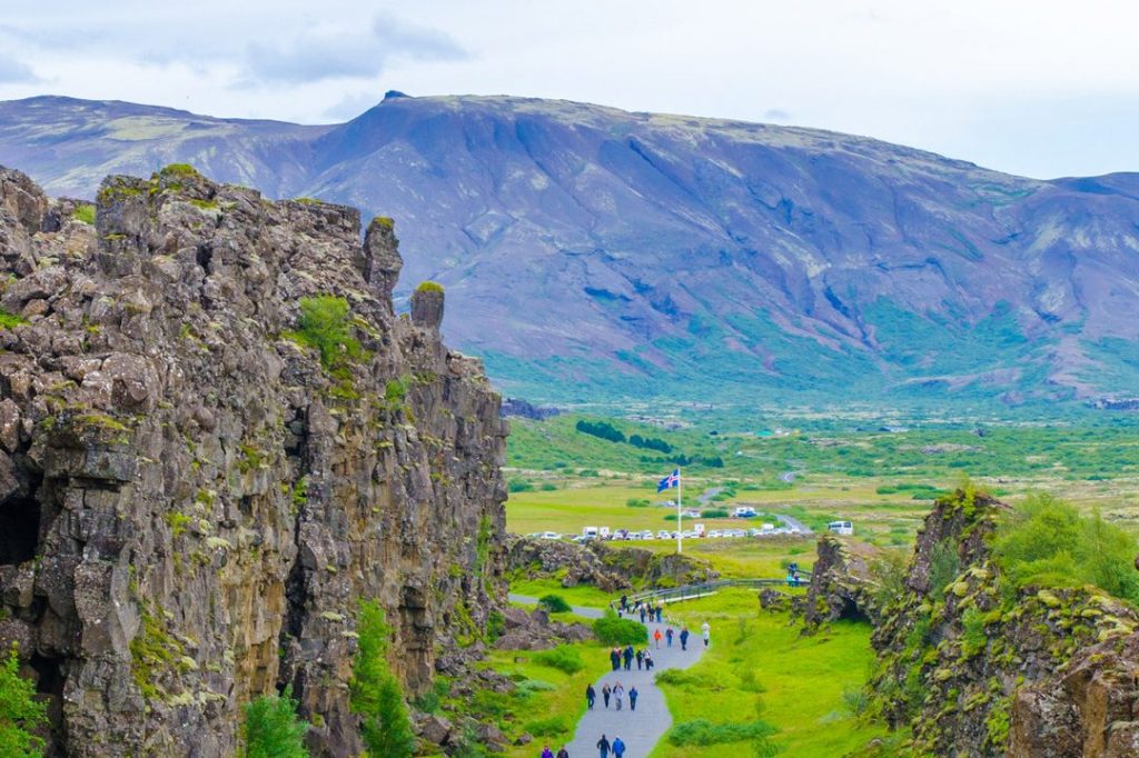
Þingvellir (pronounced Thingvellir) National Park is one of the top sights along the Golden Circle. Located in South Iceland, the park is steeped in history and was designated as a World Heritage Site in 2004. In addition to historical sights, visitors can enjoy outdoor recreation activities including snorkeling, fishing, horseback riding, hiking, and camping.
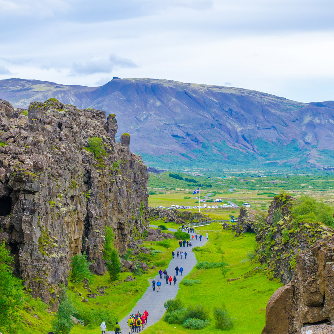
The birth of Iceland as a nation happened at Þingvellir. Literally translating to “Parliament Plains,” Þingvellir was the site of Iceland’s first general assembly, which was said to have been established in the year 930, and was the meeting place of the Icelandic parliament until 1798. Many significant sights are at Þingvellir, including Almannagjá (All Man’s Gorge) and Lögberg (Law Rock). Þingvellir was established as a national park in 1930.
Visitors also come to the area for its geological significance, as it is the site of a rift valley that marks the crest of the Mid-Atlantic Ridge. It’s also home to Þingvallavatn, the largest natural lake on the island, which has a surface area of 84 sq km (32 sq mi).
Sights in Þingvellir National Park
Þingvellir Interpretive Center
tel. 354/482-2660; www.thingvellir.is; 9am-6pm daily May-Oct., 9am-5pm daily Nov.-Apr., adults 1,200ISK, children free
The Þingvellir Interpretive Center gives a great overview of the national park, its history, and its geological significance. Stop in to see the interactive display and then pick up hiking maps at the information center next door.
Almannagjá
footpath from the visitors center
The park’s stony, moss-covered landscape is home to Almannagjá (All Man’s Gorge), which is the tallest cliff face in the national park and the original backdrop to Iceland's first parliament. This rock structure is considered the edge of the North American plate, which visitors can view up close. It’s an impressive sight, so be sure you have your camera ready.
Lögberg
footpath from the visitors center
Lögberg (Law Rock) is where Icelandic democracy began. Iceland’s Commonwealth period ran 930-1262, and during that time, the Law Rock was the center of the Alþing (parliament). Members of the Alþing gave speeches and held events at the rock, including confirming the year’s calendar and issuing legal rulings. A man known as the “law speaker,” who was responsible for understanding all laws and was required to memorize them, read the procedural laws aloud every summer standing on the rock.
Öxará River
The Öxará (Ax) River flows over seemingly endless lava fields, emitting a haunting mist in the winter months. It’s serene and eerie until it reaches Öxaráfoss, where the water tumbles and roars over the cliffs. At the river’s edge are a church and farmhouse, the official summer residence of Iceland’s prime minister. The church, Þingvallakirkja (9am-5pm daily mid-May-early Sept., free), is a charming wood structure built in traditional Icelandic design that dates from 1859. Visitors can go inside, take photos, and sit on a pew and reflect. The interior features a wooden pulpit and bells from earlier churches. There’s a small cemetery behind the church where celebrated poets Einar Benediktsson and Jonasa Hallgrimsson are buried.
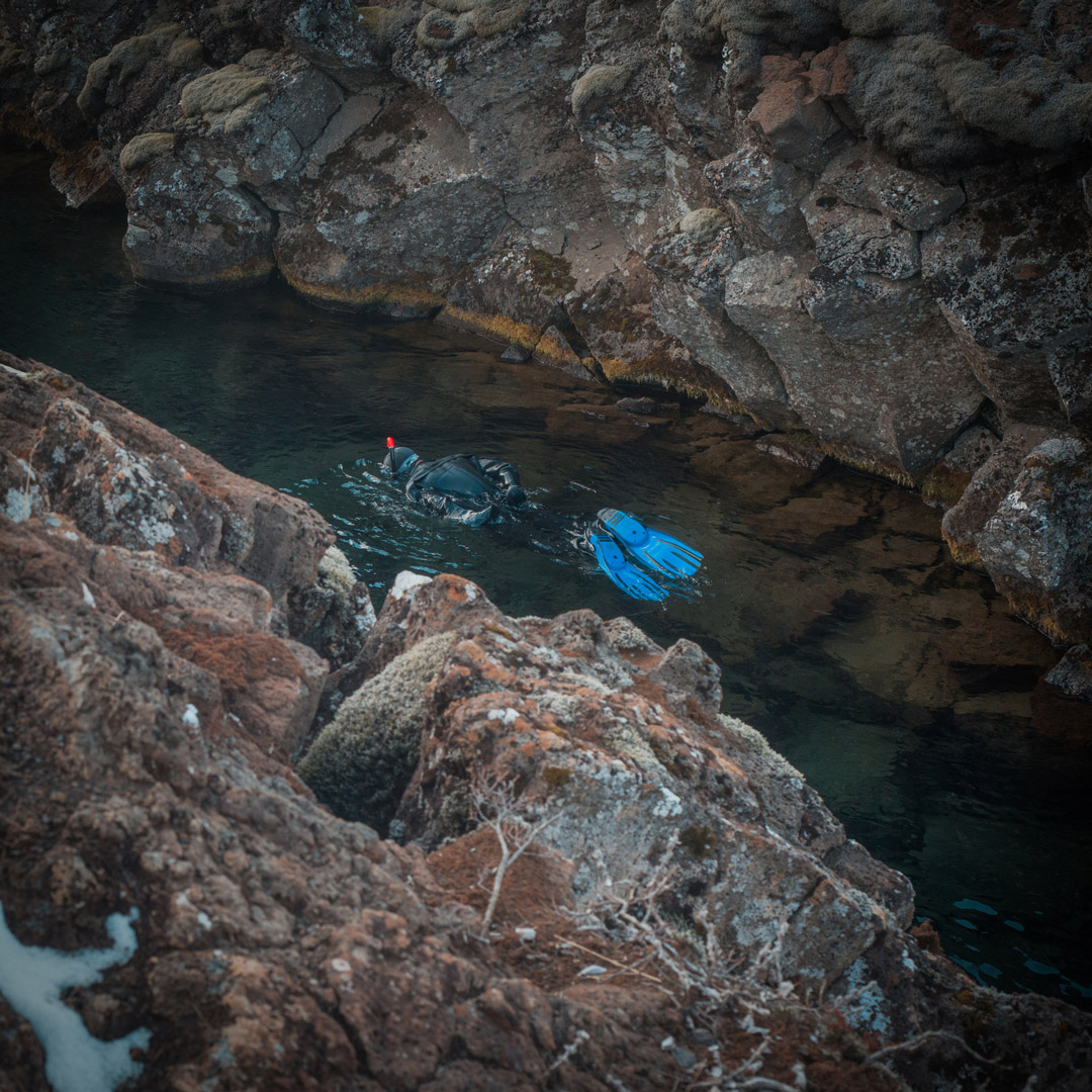
Silfra Fissure
off Route 36, about 60 km/37 mi from Reykjavík, inside Þingvellir National Park
The Silfra fissure, filled with spring freshwater, is a popular site for diving and snorkeling tours. The crystal-clear depths reveals an underwater world with jagged canyon walls, plant life, and fish. The fissure is said to have opened in 1789 as a result of moving tectonic plates. It never freezes—freshwater constantly enters the fissure, so it never settles to freeze—and keeps a constant temperature of 2-3°C (35-37°F). To snorkel, Dive Iceland offers tours for those over age 16 and in good physical health.
Þingvallavatn Lake
Þingvallavatn is the largest natural lake in Iceland at 84 sq km (32 sq mi) and partially lies within Þingvellir National Park. The rift valley lake is where the North American and Eurasian tectonic plates meet, and visitors can dive or snorkel in the Silfra fissure.
Boats are not allowed on the lake, but fishing permits are sold at the information center, and they rent equipment too. Visitors have the chance to catch arctic char and brown trout. Be sure to obey the rules and pay for the permit. The fishing season at the lake runs May 1-September 30, and permits are about 8,000ISK.
Hiking
A natural place to roam, Þingvellir is lovely for the casual hiker. Acres of flat lava fields make hiking conditions easy, with plenty of walking paths, interesting rock formations, and rugged terrain to see. Be sure to watch for open rock fissures along the way; it's easy to fall in. You can get information about trails and the surrounding area, as well as free detailed maps, at the visitors center.
Syðsta Súla
Distance: 13 km (8.1 mi) round-trip; Hiking Time: 7 hours; Information and Maps: www.south.is; Trailhead: Left turn on Route F-550
If you’re looking to scale some small mountains, check out Syðsta Súla, which reaches 1,085 m (3,560 ft) in the northern region of the park and is the park’s easiest peak to climb. The view from the top over the park is spectacular. Always be sure to check weather conditions before any hike, and make sure you have proper waterproof outer layers, sturdy footwear, a charged mobile phone, and drinking water. The ideal time to hike is the summer, as in the winter you will need proper snow gear.
Öxarárfoss
Distance: 4.5 km (2.7 mi) loop; Hiking Time: 1.5 hours; Information and Maps: www.south.is; Trailhead: Þingvellir National Park parking lot
Enjoy this short hike to the Öxarárfoss waterfall on a flat, even path. The trail is signposted throughout, and the scenery along the way is breathtaking, from views of Hengill (an active volcano) south of the park to the sweeping open landscape of jagged rocks covered with moss. The waterfall is quite beautiful, as it looks as if the water is escaping from the rocks, falling meters below.
Snorkeling and Diving
Scuba diving or snorkeling in the naturally filtered pure water of Þingvallavatn lake is sublime. Surveying the underwater basalt walls, multicolored algae, and sloping sands is magical and unique—you’re able to snorkel or scuba in the Silfa fissure, the enormous crack between the Eurasian and North American continental plates. Don’t even think about going in without a dry suit, as the water temperature hovers around 3°C (37°F). Diving is possible year-round, but there are rules to obey, so don’t attempt to go without a guide.
Dive Iceland
Ásbúðartröð 17, Hafnarfjörður; tel. 354/699-3000; www.dive.is
Dive Iceland offers a Silfra diving tour for 33,490ISK. Travelers must be dry-suit certified to dive and must present their certification card. Snorkeling tours start at 20,490ISK.
Horseback Riding
Þingvellir is a popular spot for riding horses, with several trails that offer the chance to check out some of the more beautiful and geologically significant areas of the park.
Reykjavík Excursions
tel. 354/580-5400; www.re.is; 16,900ISK
Reykjavík Excursions offers a year-round horse-riding day tour in Þingvellir.
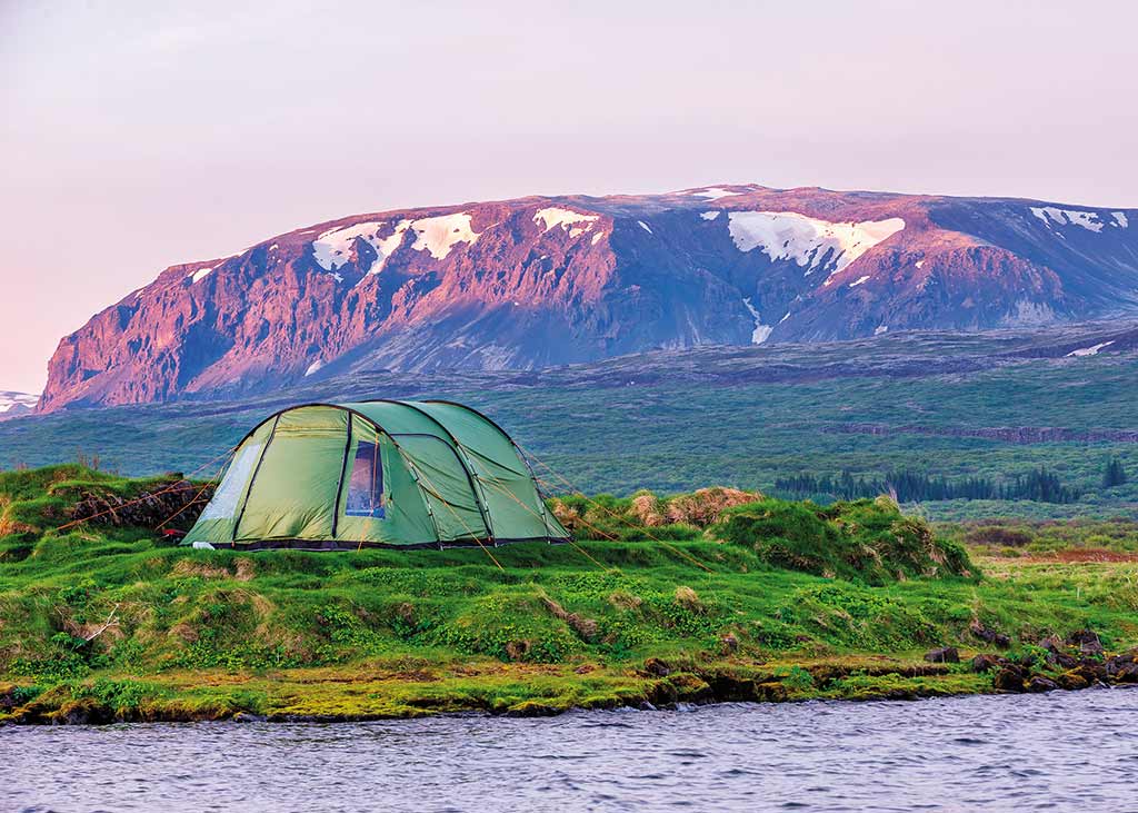
Camping
There are no hotels within Þingvellir National Park. However, there are accommodations in nearby Laugarvatn and Selfoss. If you would like to stay within the park limits, your only option is camping at one of Þingvellir’s four campgrounds, spread across the Leirar section of the park. All campsites have access to restrooms, electricity, and cooking facilities. Campers must bring their own tents.
Leirar Campground
GPS coordinates N 64.1648, W 21.5174; www.tjalda.is; June-Sept.; 1,800ISK pp
The Leirar section is a five-minute walk from the Þingvellir information center. The Leirar campground is divided into four campsites: Fagrabrekka, Syðri-Leirar, Hvannabrekka, and Nyrðri-Leirar.
Information and Services
The tourist information center (tel. 354/482-2660, 9am-4pm daily) is close to the car park. Be advised that there is a service fee of 200ISK to use the restrooms. There is also a small cafeteria to purchase snacks and drinks.
Getting There and Around
Þingvellir is 46 km (29 mi) northeast of Reykjavík. By car, it's about a 45-minute drive; take Route 1 to Route 36, which will take you to the northern part of the park.
While there is no public transportation available to get to the park, a number of tours include a stop at Þingvellir. The park's attractions are all within a walkable distance, so plan to be on foot.
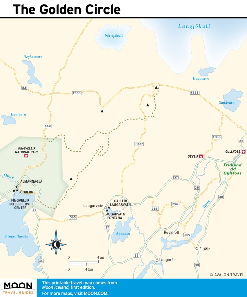
Plan your trip:
Build your Europe travel bucket list
Pin It for Later


Þingvellir (pronounced Thingvellir) National Park is one of the top sights along the Golden Circle. Located in South Iceland, the park is steeped in history and was designated as a World Heritage Site in 2004. In addition to historical sights, visitors can enjoy outdoor recreation activities including snorkeling, fishing, horseback riding, hiking, and camping.

The birth of Iceland as a nation happened at Þingvellir. Literally translating to “Parliament Plains,” Þingvellir was the site of Iceland’s first general assembly, which was said to have been established in the year 930, and was the meeting place of the Icelandic parliament until 1798. Many significant sights are at Þingvellir, including Almannagjá (All Man’s Gorge) and Lögberg (Law Rock). Þingvellir was established as a national park in 1930.
Visitors also come to the area for its geological significance, as it is the site of a rift valley that marks the crest of the Mid-Atlantic Ridge. It’s also home to Þingvallavatn, the largest natural lake on the island, which has a surface area of 84 sq km (32 sq mi).
Sights in Þingvellir National Park
Þingvellir Interpretive Center
tel. 354/482-2660; www.thingvellir.is; 9am-6pm daily May-Oct., 9am-5pm daily Nov.-Apr., adults 1,200ISK, children free
The Þingvellir Interpretive Center gives a great overview of the national park, its history, and its geological significance. Stop in to see the interactive display and then pick up hiking maps at the information center next door.
Almannagjá
footpath from the visitors center
The park’s stony, moss-covered landscape is home to Almannagjá (All Man’s Gorge), which is the tallest cliff face in the national park and the original backdrop to Iceland's first parliament. This rock structure is considered the edge of the North American plate, which visitors can view up close. It’s an impressive sight, so be sure you have your camera ready.
Lögberg
footpath from the visitors center
Lögberg (Law Rock) is where Icelandic democracy began. Iceland’s Commonwealth period ran 930-1262, and during that time, the Law Rock was the center of the Alþing (parliament). Members of the Alþing gave speeches and held events at the rock, including confirming the year’s calendar and issuing legal rulings. A man known as the “law speaker,” who was responsible for understanding all laws and was required to memorize them, read the procedural laws aloud every summer standing on the rock.
Öxará River
The Öxará (Ax) River flows over seemingly endless lava fields, emitting a haunting mist in the winter months. It’s serene and eerie until it reaches Öxaráfoss, where the water tumbles and roars over the cliffs. At the river’s edge are a church and farmhouse, the official summer residence of Iceland’s prime minister. The church, Þingvallakirkja (9am-5pm daily mid-May-early Sept., free), is a charming wood structure built in traditional Icelandic design that dates from 1859. Visitors can go inside, take photos, and sit on a pew and reflect. The interior features a wooden pulpit and bells from earlier churches. There’s a small cemetery behind the church where celebrated poets Einar Benediktsson and Jonasa Hallgrimsson are buried.

Silfra Fissure
off Route 36, about 60 km/37 mi from Reykjavík, inside Þingvellir National Park
The Silfra fissure, filled with spring freshwater, is a popular site for diving and snorkeling tours. The crystal-clear depths reveals an underwater world with jagged canyon walls, plant life, and fish. The fissure is said to have opened in 1789 as a result of moving tectonic plates. It never freezes—freshwater constantly enters the fissure, so it never settles to freeze—and keeps a constant temperature of 2-3°C (35-37°F). To snorkel, Dive Iceland offers tours for those over age 16 and in good physical health.
Þingvallavatn Lake
Þingvallavatn is the largest natural lake in Iceland at 84 sq km (32 sq mi) and partially lies within Þingvellir National Park. The rift valley lake is where the North American and Eurasian tectonic plates meet, and visitors can dive or snorkel in the Silfra fissure.
Boats are not allowed on the lake, but fishing permits are sold at the information center, and they rent equipment too. Visitors have the chance to catch arctic char and brown trout. Be sure to obey the rules and pay for the permit. The fishing season at the lake runs May 1-September 30, and permits are about 8,000ISK.
Hiking
A natural place to roam, Þingvellir is lovely for the casual hiker. Acres of flat lava fields make hiking conditions easy, with plenty of walking paths, interesting rock formations, and rugged terrain to see. Be sure to watch for open rock fissures along the way; it's easy to fall in. You can get information about trails and the surrounding area, as well as free detailed maps, at the visitors center.
Syðsta Súla
Distance: 13 km (8.1 mi) round-trip; Hiking Time: 7 hours; Information and Maps: www.south.is; Trailhead: Left turn on Route F-550
If you’re looking to scale some small mountains, check out Syðsta Súla, which reaches 1,085 m (3,560 ft) in the northern region of the park and is the park’s easiest peak to climb. The view from the top over the park is spectacular. Always be sure to check weather conditions before any hike, and make sure you have proper waterproof outer layers, sturdy footwear, a charged mobile phone, and drinking water. The ideal time to hike is the summer, as in the winter you will need proper snow gear.
Öxarárfoss
Distance: 4.5 km (2.7 mi) loop; Hiking Time: 1.5 hours; Information and Maps: www.south.is; Trailhead: Þingvellir National Park parking lot
Enjoy this short hike to the Öxarárfoss waterfall on a flat, even path. The trail is signposted throughout, and the scenery along the way is breathtaking, from views of Hengill (an active volcano) south of the park to the sweeping open landscape of jagged rocks covered with moss. The waterfall is quite beautiful, as it looks as if the water is escaping from the rocks, falling meters below.
Snorkeling and Diving
Scuba diving or snorkeling in the naturally filtered pure water of Þingvallavatn lake is sublime. Surveying the underwater basalt walls, multicolored algae, and sloping sands is magical and unique—you’re able to snorkel or scuba in the Silfa fissure, the enormous crack between the Eurasian and North American continental plates. Don’t even think about going in without a dry suit, as the water temperature hovers around 3°C (37°F). Diving is possible year-round, but there are rules to obey, so don’t attempt to go without a guide.
Dive Iceland
Ásbúðartröð 17, Hafnarfjörður; tel. 354/699-3000; www.dive.is
Dive Iceland offers a Silfra diving tour for 33,490ISK. Travelers must be dry-suit certified to dive and must present their certification card. Snorkeling tours start at 20,490ISK.
Horseback Riding
Þingvellir is a popular spot for riding horses, with several trails that offer the chance to check out some of the more beautiful and geologically significant areas of the park.
Reykjavík Excursions
tel. 354/580-5400; www.re.is; 16,900ISK
Reykjavík Excursions offers a year-round horse-riding day tour in Þingvellir.

Camping
There are no hotels within Þingvellir National Park. However, there are accommodations in nearby Laugarvatn and Selfoss. If you would like to stay within the park limits, your only option is camping at one of Þingvellir’s four campgrounds, spread across the Leirar section of the park. All campsites have access to restrooms, electricity, and cooking facilities. Campers must bring their own tents.
Leirar Campground
GPS coordinates N 64.1648, W 21.5174; www.tjalda.is; June-Sept.; 1,800ISK pp
The Leirar section is a five-minute walk from the Þingvellir information center. The Leirar campground is divided into four campsites: Fagrabrekka, Syðri-Leirar, Hvannabrekka, and Nyrðri-Leirar.
Information and Services
The tourist information center (tel. 354/482-2660, 9am-4pm daily) is close to the car park. Be advised that there is a service fee of 200ISK to use the restrooms. There is also a small cafeteria to purchase snacks and drinks.
Getting There and Around
Þingvellir is 46 km (29 mi) northeast of Reykjavík. By car, it's about a 45-minute drive; take Route 1 to Route 36, which will take you to the northern part of the park.
While there is no public transportation available to get to the park, a number of tours include a stop at Þingvellir. The park's attractions are all within a walkable distance, so plan to be on foot.

Plan your trip:
Build your Europe travel bucket list
Pin It for Later

Costa Rica is one big eco-adventure park, with scenic sights, thrilling experiences, and wildlife encounters that make learning fun. Various activities and attractions are suitable for children; consider incorporating the following kid-friendly experiences into your travel plans to make the trip memorable for the whole family.
Go zip-lining
Many zip-lining tours allow kids to participate. A favorite is the Big AMA Canopy Tour at Arenal Mundo Aventura Ecological Park in La Fortuna, which wows kids with views of Volcán Arenal and two waterfalls.
Swim at an accessible waterfall
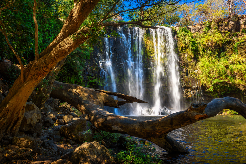
Some of Costa Rica’s waterfalls can be tough to access or too powerful for swimming. Great for children, the Catarata Llanos del Cortés near Liberia has a shallow wading area and a lifeguard on duty. It’s only a five-minute walk from the parking lot and is free for kids ages six and younger.
Visit a nature-based theme park
Entertain everyone in the family with the attractions at Selvatura Park in Monteverde. These include hanging bridges, a reptile and amphibian exhibit, a butterfly garden, and a sloth sanctuary.
Tour or volunteer at a wildlife rescue center
Get up close and personal with rescued wildlife at the Rescate Wildlife Rescue Center in Alajuela or while volunteering for a few hours at the Proyecto Asis Wildlife and Sloth Rescue Center near La Fortuna.
Learn how chocolate is made
The Rainforest Chocolate Tour in La Fortuna and the Caribeans Chocolate Tour on the Caribbean coast are free for children ages five and younger.
Take a beginner surf lesson
Lots of surf schools welcome children. Have the kiddies start in Sámara; the area has a calm bay with gentle waves perfect for beginners. For a more in depth list of Costa Rica's beaches, click here.
Dine at a fun restaurant
Keep young ones smiling with meals at El Avión in Manuel Antonio—a restaurant that’s set in a cargo plane—and the Tree House Restaurant & Café in Santa Elena. Are the kids jonesing to see some animals while they eat? At Centro Turístico Las Iguanas near La Fortuna, you can see hundreds of iguanas in the trees outside. Scarlet macaws hang out in the trees behind Restaurante Mi Finca in Limonal.
More adventures await
Pin it for later

]]>

Costa Rica is one big eco-adventure park, with scenic sights, thrilling experiences, and wildlife encounters that make learning fun. Various activities and attractions are suitable for children; consider incorporating the following kid-friendly experiences into your travel plans to make the trip memorable for the whole family.
Go zip-lining
Many zip-lining tours allow kids to participate. A favorite is the Big AMA Canopy Tour at Arenal Mundo Aventura Ecological Park in La Fortuna, which wows kids with views of Volcán Arenal and two waterfalls.
Swim at an accessible waterfall

Some of Costa Rica’s waterfalls can be tough to access or too powerful for swimming. Great for children, the Catarata Llanos del Cortés near Liberia has a shallow wading area and a lifeguard on duty. It’s only a five-minute walk from the parking lot and is free for kids ages six and younger.
Visit a nature-based theme park
Entertain everyone in the family with the attractions at Selvatura Park in Monteverde. These include hanging bridges, a reptile and amphibian exhibit, a butterfly garden, and a sloth sanctuary.
Tour or volunteer at a wildlife rescue center
Get up close and personal with rescued wildlife at the Rescate Wildlife Rescue Center in Alajuela or while volunteering for a few hours at the Proyecto Asis Wildlife and Sloth Rescue Center near La Fortuna.
Learn how chocolate is made
The Rainforest Chocolate Tour in La Fortuna and the Caribeans Chocolate Tour on the Caribbean coast are free for children ages five and younger.
Take a beginner surf lesson

Lots of surf schools welcome children. Have the kiddies start in Sámara; the area has a calm bay with gentle waves perfect for beginners. For a more in depth list of Costa Rica's beaches, click here.
Dine at a fun restaurant
Keep young ones smiling with meals at El Avión in Manuel Antonio—a restaurant that’s set in a cargo plane—and the Tree House Restaurant & Café in Santa Elena. Are the kids jonesing to see some animals while they eat? At Centro Turístico Las Iguanas near La Fortuna, you can see hundreds of iguanas in the trees outside. Scarlet macaws hang out in the trees behind Restaurante Mi Finca in Limonal.
More adventures await
Pin it for later

]]>

Traveling is an opportunity to sample flavors from all over the world. Aside from being fun and delicious, experiencing new foods is one of the best aspects of travel. But while many people can eat any food or drink item they choose, some travelers do not have that luxury. For those who follow a gluten-free diet, traveling can add another layer of stress and worry.
When you have a gluten intolerance, wheat allergy, celiac disease, or follow a gluten-free diet for other health reasons, finding gluten-free choices may be challenging. The number of snacks or other gluten-free products in grocery stores can vary. Language barriers create the fear of important information getting “lost in translation.” Cross-contamination is always on the minds of those extremely sensitive to even trace amounts of gluten.
With the overwhelming need for gluten-free food, a noticeable increase in availability of products, menus, bakeries, and dedicated facilities has appeared abroad. I spent six months backpacking around the world with celiac disease last year and did so successfully. There are gluten-free options everywhere! If you are concerned about where you can vacation and eat safely, check out these five travel destinations for gluten-free eaters.
Ireland
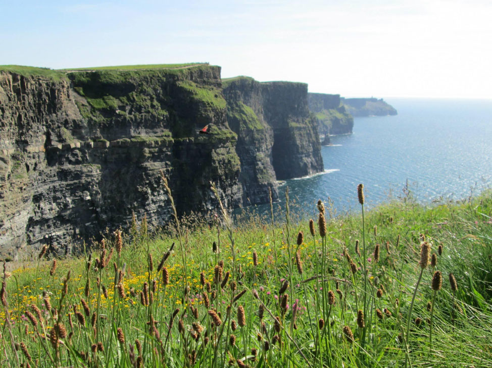
Ireland has a high concentration of citizens with celiac disease—approximately 1 in 100 people. Since the gluten-free diet is so common among the Irish population, the presence and availability of safe foods is incredible. It’s one of the best destinations to visit if you follow a gluten-free diet.
Locating gluten-free products will be extremely easy. Grocery stores have entire aisles dedicated to gluten-free and allergen-friendly products, and the quality is top notch. The package of gluten-free rolls I sampled in Ireland tasted so good and so much like the real thing, I had to double check the label!
The Irish understand that eating gluten-free isn’t a choice for a large number of people, and they take great care when preparing foods. In addition to savory stews, fresh fish, wonderful dairy products, and hard cider, you can find a variety of safe dishes, including international cuisines, in Ireland. There’s a huge push for farm-to-table quality meals, and Ireland’s culinary scene is fantastic.
You’ll find gluten-free menus in Ireland truly mean gluten-free and safe from cross-contamination. Some pubs serve special stews with celiac gravy, and many restaurants have gluten-free rolls. Try Milano Restaurants for pizza, Murphy’s for ice cream, and Lidl or Spar for groceries.
Italy

While the overwhelming presence of bread in the Italian diet may be cause for alarm, fear not! Italy, like Ireland, has a large percentage of citizens with celiac disease. The Italians have adjusted accordingly and now offer some of the most scrumptious gluten-free foods around the world! You can enjoy gnocchi, pasta, pesto, pizza, gelato, and fresh Italian bread in Italy, just like everyone else.
Dedicated gluten-free facilities can be found in all major cities, and the Italian government provides celiac patients with vouchers to buy gluten-free food on a monthly basis. The Italian Celiac Association has an extensive list of safe restaurants with great gluten-free options. Options abound in Rome, Milan, and Venice, with dedicated gluten-free gelato shops, pasta making classes, and extensive gluten-free menus.
Try Grom Gelato for the safest and most delicious Italian treat. This 100% dedicated gluten-free facility has locations all over the world. If you are visiting the Vatican, eat at La Soffitta Renovatio for calzones and pizza that will knock your socks off!
Argentina
Argentina is made up of millions of people who immigrated from Europe, thus making the presence of celiac disease more common than other countries in South America. The lively culture combined with the presence of gluten-free food makes Argentina another wise vacation spot. Like Ireland, 1 in 100 Argentine citizens has celiac disease.
The Argentine diet focuses on a lot of grilled meat, usually found at una parrilla ("a grill") as well as vegetables and potatoes. The government is cognizant of the need for proper food labeling, and any product that is gluten-free will have the label “sin T.A.C.C,” which stands for “sin trigo, avena, cebada, y centeno”—without wheat, oatmeal, barley, and rye.

Dedicated gluten-free facilities abound in the capital of Buenos Aires. Visit Sintaxis and GOUT Gluten-Free for a milanesa sandwich or a medialuna pastry. Gullón is an Argentine cookie company with lots of gluten-free varieties—check Coto supermarkets for these gluten-free treats. Even as far south as Patagonia, gluten-free options won’t be difficult to find, making Argentina a great choice for gluten-free travelers.
New Zealand
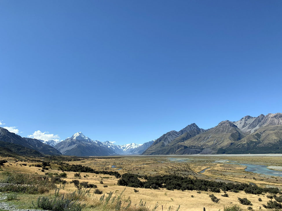
New Zealand’s wild landscape is a perfect destination for hikers and nature lovers. As a society, they pay close attention to food allergies and dietary restrictions. New Zealand is another country with a large influx of European immigrants, making gluten-free food in higher demand.
Food in New Zealand can be expensive, but not if you cook your own meals. There is a wide array of gluten-free products available in New Zealand grocery stores, including items such as Kellogg’s Corn Flakes—gluten-free! Normally, these corn flakes contain malt, which comes from barley and is not a gluten-free grain, but they are processed differently in Australia and New Zealand.
Fresh and local produce, meats, and cheeses, as well as organic grocery stores and shops, make this a great place to prepare your own meals. If you choose to splurge and go out to eat, have no fear. The New Zealand Celiac Association has listings of safe restaurants, and the New Zealand community is very careful with food allergies. The servers and staff were all extremely well-informed in every restaurant we visited.
For the best burger and fries, check out Fergburger in Queenstown on the South Island. They have gluten-free buns, dedicated fryers, and delicious aioli sauce.
Bali
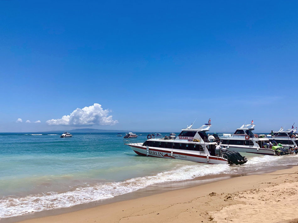
Bali is a tropical escape for many yogis, vegetarians, travelers, and backpackers. It’s eco-friendly and strives to be a health-conscious retreat with cafes, spas, and wellness classes. It’s one of the most popular islands in Indonesia.
Bali's economy thrives on tourism and hospitality. The Balinese people go out of their way to make you feel welcomed and everyone is incredibly kind. A visit to Bali is a must for many travelers, gluten-free diners included.
In this lush paradise, there are multiple dedicated gluten-free facilities, as well as tropical fruit, fresh juices, smoothie bowls, and healthy dishes. Head to the town of Ubud for the best options in gluten-free facilities and gluten-free menus. Visit Fussy Bird or Gluten-Free Kitchen for tasty meals that are not only safe but also delicious.
Having a limited diet doesn’t mean you can’t travel. It’s all about rethinking what is possible! Don’t let a gluten-free diet prevent you from exploring—give these five spots a try.
Jennifer Fitzpatrick is a gluten-free travel writer based in Boston, MA. She spent six months traveling around the world with celiac disease last year. Jennifer enjoys hiking with her husband Dylan, speaking Spanish, and cooking. Follow her adventures on Instagram and visit her website for travel guides, gluten-free recipes, hiking trails, and more!
Pin It for Later


Traveling is an opportunity to sample flavors from all over the world. Aside from being fun and delicious, experiencing new foods is one of the best aspects of travel. But while many people can eat any food or drink item they choose, some travelers do not have that luxury. For those who follow a gluten-free diet, traveling can add another layer of stress and worry.
When you have a gluten intolerance, wheat allergy, celiac disease, or follow a gluten-free diet for other health reasons, finding gluten-free choices may be challenging. The number of snacks or other gluten-free products in grocery stores can vary. Language barriers create the fear of important information getting “lost in translation.” Cross-contamination is always on the minds of those extremely sensitive to even trace amounts of gluten.
With the overwhelming need for gluten-free food, a noticeable increase in availability of products, menus, bakeries, and dedicated facilities has appeared abroad. I spent six months backpacking around the world with celiac disease last year and did so successfully. There are gluten-free options everywhere! If you are concerned about where you can vacation and eat safely, check out these five travel destinations for gluten-free eaters.
Ireland

Ireland has a high concentration of citizens with celiac disease—approximately 1 in 100 people. Since the gluten-free diet is so common among the Irish population, the presence and availability of safe foods is incredible. It’s one of the best destinations to visit if you follow a gluten-free diet.
Locating gluten-free products will be extremely easy. Grocery stores have entire aisles dedicated to gluten-free and allergen-friendly products, and the quality is top notch. The package of gluten-free rolls I sampled in Ireland tasted so good and so much like the real thing, I had to double check the label!
The Irish understand that eating gluten-free isn’t a choice for a large number of people, and they take great care when preparing foods. In addition to savory stews, fresh fish, wonderful dairy products, and hard cider, you can find a variety of safe dishes, including international cuisines, in Ireland. There’s a huge push for farm-to-table quality meals, and Ireland’s culinary scene is fantastic.
You’ll find gluten-free menus in Ireland truly mean gluten-free and safe from cross-contamination. Some pubs serve special stews with celiac gravy, and many restaurants have gluten-free rolls. Try Milano Restaurants for pizza, Murphy’s for ice cream, and Lidl or Spar for groceries.
Italy

While the overwhelming presence of bread in the Italian diet may be cause for alarm, fear not! Italy, like Ireland, has a large percentage of citizens with celiac disease. The Italians have adjusted accordingly and now offer some of the most scrumptious gluten-free foods around the world! You can enjoy gnocchi, pasta, pesto, pizza, gelato, and fresh Italian bread in Italy, just like everyone else.
Dedicated gluten-free facilities can be found in all major cities, and the Italian government provides celiac patients with vouchers to buy gluten-free food on a monthly basis. The Italian Celiac Association has an extensive list of safe restaurants with great gluten-free options. Options abound in Rome, Milan, and Venice, with dedicated gluten-free gelato shops, pasta making classes, and extensive gluten-free menus.
Try Grom Gelato for the safest and most delicious Italian treat. This 100% dedicated gluten-free facility has locations all over the world. If you are visiting the Vatican, eat at La Soffitta Renovatio for calzones and pizza that will knock your socks off!
Argentina
Argentina is made up of millions of people who immigrated from Europe, thus making the presence of celiac disease more common than other countries in South America. The lively culture combined with the presence of gluten-free food makes Argentina another wise vacation spot. Like Ireland, 1 in 100 Argentine citizens has celiac disease.
The Argentine diet focuses on a lot of grilled meat, usually found at una parrilla ("a grill") as well as vegetables and potatoes. The government is cognizant of the need for proper food labeling, and any product that is gluten-free will have the label “sin T.A.C.C,” which stands for “sin trigo, avena, cebada, y centeno”—without wheat, oatmeal, barley, and rye.

Dedicated gluten-free facilities abound in the capital of Buenos Aires. Visit Sintaxis and GOUT Gluten-Free for a milanesa sandwich or a medialuna pastry. Gullón is an Argentine cookie company with lots of gluten-free varieties—check Coto supermarkets for these gluten-free treats. Even as far south as Patagonia, gluten-free options won’t be difficult to find, making Argentina a great choice for gluten-free travelers.
New Zealand

New Zealand’s wild landscape is a perfect destination for hikers and nature lovers. As a society, they pay close attention to food allergies and dietary restrictions. New Zealand is another country with a large influx of European immigrants, making gluten-free food in higher demand.
Food in New Zealand can be expensive, but not if you cook your own meals. There is a wide array of gluten-free products available in New Zealand grocery stores, including items such as Kellogg’s Corn Flakes—gluten-free! Normally, these corn flakes contain malt, which comes from barley and is not a gluten-free grain, but they are processed differently in Australia and New Zealand.
Fresh and local produce, meats, and cheeses, as well as organic grocery stores and shops, make this a great place to prepare your own meals. If you choose to splurge and go out to eat, have no fear. The New Zealand Celiac Association has listings of safe restaurants, and the New Zealand community is very careful with food allergies. The servers and staff were all extremely well-informed in every restaurant we visited.
For the best burger and fries, check out Fergburger in Queenstown on the South Island. They have gluten-free buns, dedicated fryers, and delicious aioli sauce.
Bali

Bali is a tropical escape for many yogis, vegetarians, travelers, and backpackers. It’s eco-friendly and strives to be a health-conscious retreat with cafes, spas, and wellness classes. It’s one of the most popular islands in Indonesia.
Bali's economy thrives on tourism and hospitality. The Balinese people go out of their way to make you feel welcomed and everyone is incredibly kind. A visit to Bali is a must for many travelers, gluten-free diners included.
In this lush paradise, there are multiple dedicated gluten-free facilities, as well as tropical fruit, fresh juices, smoothie bowls, and healthy dishes. Head to the town of Ubud for the best options in gluten-free facilities and gluten-free menus. Visit Fussy Bird or Gluten-Free Kitchen for tasty meals that are not only safe but also delicious.
Having a limited diet doesn’t mean you can’t travel. It’s all about rethinking what is possible! Don’t let a gluten-free diet prevent you from exploring—give these five spots a try.
Jennifer Fitzpatrick is a gluten-free travel writer based in Boston, MA. She spent six months traveling around the world with celiac disease last year. Jennifer enjoys hiking with her husband Dylan, speaking Spanish, and cooking. Follow her adventures on Instagram and visit her website for travel guides, gluten-free recipes, hiking trails, and more!
Pin It for Later

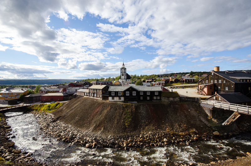
Once you’ve experienced Europe’s biggest hits—seen the Eiffel Tower sparkle, floated through Venice’s canals, and snacked your way through Barcelona—you may be thinking it’s time to get off the beaten path. But are there really any hidden gems in Europe? The answer is yes! There are plenty of destinations where you can avoid the crowds, enjoy an unexpected experience, and immerse yourself in a unique culture. Here are some of our favorite European destinations you might not have thought to add to your list:
Porto and the Douro Valley
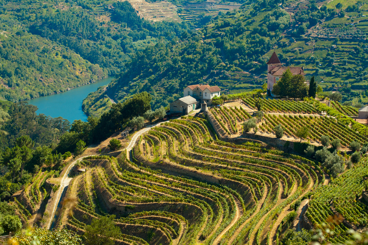
Spend a day or two in the up-and-coming gateway city of Porto, savoring lunch at a riverside restaurant and soaking up views of the city from a hilltop cable car. Then head to the captivating Douro Valley—one of the most beautiful and ancient wine-producing regions on the planet. The breathtaking scenery, with lacy vine terraces carved into steep riverbanks, changes with every bend of the river. Main stops include fairytale Amarante, the valley’s “capital” Peso da Régua, Lamego and its famous hilltop chapel, and Vila Nova de Foz Côa, home to pre-historic rock art.
Montenegro
Montenegro is often heralded as the next “it” destination, now that Croatia and Slovenia have been discovered by tourists. Locals here welcome visitors with open arms, thrilled to show off Montenegro’s treasures, and there are many. The sea is legendary, the mountains are both rugged and majestic, and inland towns like Cetinje show off the country’s rich history. The food is great almost anywhere you go, and the local wines are worth tasting. For a day trip from Dubrovnik, head to the Gulf of Kotor for medieval fishing villages, sparkling blue waters, a fjord-like bay ending in the famed town of Kotor, and quiet beaches out on the Luštica peninsula.
Siena
The walled medieval town of Siena offers a refreshing break between the endless monuments of Rome and the extraordinary art of Florence. It feels more like a small town than a city and can easily be navigated in an hour or two on foot. Make some time to tour the Roman-Gothic Duomo, containing works by Raffaello, Donatello, and more, and take the Porta Cielo route inside the cathedral for panoramic views of the town. Be sure to grab dinner at the Trattoria Papei, a historic spot serving delicious, traditional Tuscan food.
Røros

For more than 300 years, Røros was a remote Norwegian mining community, tucked away high in the mountains. Today, it’s a surprisingly vibrant community focused on sustainable tourism and local food production. The town is incredibly well preserved, and as you stroll through the center you could be forgiven for thinking you’ve traveled back in time—there’s nowhere quite like Røros anywhere in Scandinavia. Stay at the historic Vertshuset Hotel, hike outside the town center to a cozy mountain hamlet, and settle down for a meal at the charming Frøyas Hus.
Normandy and Brittany
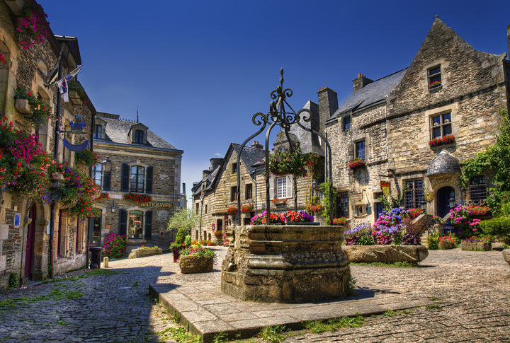
After exploring Paris, consider heading up north to Normandy and Brittany. While the two are distinct regions, they share much of the same appeal: their climate, their proximity to the sea, and the essentials of their cuisine—apples, dairy, and seafood. Normandy is a land of towering Gothic cathedrals, sedate farmland, and bourgeois seaside resorts, while Brittany has squat, almost pagan chapels, woods, and wind-lashed harbors that seem to exist in another time. Whether you prefer the luxury casinos and elegant promenades of Deauville, or dancing into the night at a traditional fest-noz (night festival) in some little-known Breton village, there’s more than enough to keep you entertained.
The Penedès Wine Region
Whether you’re a wine buff already or eager to learn the basics, the rolling hills of Catalonia’s Penedès wine region make for an excellent trip. While other kinds of wines are produced here, Penedès is most famous for Cava, a Spanish sparkling wine; around 95 percent of all Cava is produced here. From Barcelona, it’s easy to visit the two main towns of the region, Sant Sadurní d’Anoia and Vilafranca del Penedès, within the same day trip. Don’t miss the Freixenet winery and tasting room—the sparkling wine is produced on site at the sprawling estate, and visitors can learn all about it on a 90-minute guided tour (topped off with a glass of your own, of course).
The Scottish Highlands
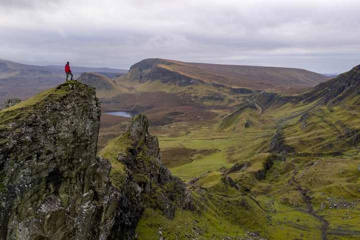
You’ll find no end of excitement in the popular cities of Edinburgh and Glasgow, but if what you’re looking for is peace and solitude, you don’t have to travel far. The Highlands, a huge region that covers much of the north and west of Scotland, is home to some of the country’s most remote communities, magnificent mountains that sweep down to glittering blue lochs, and a truly breathtaking array of wildlife. The Isle of Skye is easily the highlight of the highlands: a magical place of eerily still lochs, colossal mountains, and improbable geographical features just waiting to be explored.
Eger/The Valley of Beautiful Women
The Hungarian city of Eger, about 2 hours from Budapest by train, paints a vibrant picture with its baroque houses and impressive medieval castle. All of this makes a perfect day trip for anyone who loves history. You can also come just for the wine. Eger is known for its spicy Bull’s Blood wine—named partly for its deep red color, but also believed by the Turks to have given the Hungarians superhuman power during battle. Taste it in the wineries around the city, or head to the cellars embedded in the caves at the nearby Valley of Beautiful Women.
[hbg-newsletter call_to_action="Want travel inspiration sent straight to your inbox?" list_id_override="c89b0f3998" /]Ischia
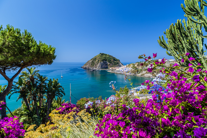
Positano, Amalfi, and Capri are perhaps the most famous destinations on the picturesque Amalfi Coast, but you’d be remiss to skip the island of Ischia— though not on every day-tripper’s radar, it’s an oasis that is perfect for a relaxing holiday surrounded by nature. Nicknamed the Isola Verde (Green Island), the volcanic island offers an exquisite blend of verdant mountain slopes, turquoise sea, thermal spas, and fishing villages. Around every corner, there’s a varied landscape to discover, from bubbling hot thermal springs to steeply sloped vineyards and historic castles.
Pin it for later
]]>

Once you’ve experienced Europe’s biggest hits—seen the Eiffel Tower sparkle, floated through Venice’s canals, and snacked your way through Barcelona—you may be thinking it’s time to get off the beaten path. But are there really any hidden gems in Europe? The answer is yes! There are plenty of destinations where you can avoid the crowds, enjoy an unexpected experience, and immerse yourself in a unique culture. Here are some of our favorite European destinations you might not have thought to add to your list:
Porto and the Douro Valley

Spend a day or two in the up-and-coming gateway city of Porto, savoring lunch at a riverside restaurant and soaking up views of the city from a hilltop cable car. Then head to the captivating Douro Valley—one of the most beautiful and ancient wine-producing regions on the planet. The breathtaking scenery, with lacy vine terraces carved into steep riverbanks, changes with every bend of the river. Main stops include fairytale Amarante, the valley’s “capital” Peso da Régua, Lamego and its famous hilltop chapel, and Vila Nova de Foz Côa, home to pre-historic rock art.
Montenegro
Montenegro is often heralded as the next “it” destination, now that Croatia and Slovenia have been discovered by tourists. Locals here welcome visitors with open arms, thrilled to show off Montenegro’s treasures, and there are many. The sea is legendary, the mountains are both rugged and majestic, and inland towns like Cetinje show off the country’s rich history. The food is great almost anywhere you go, and the local wines are worth tasting. For a day trip from Dubrovnik, head to the Gulf of Kotor for medieval fishing villages, sparkling blue waters, a fjord-like bay ending in the famed town of Kotor, and quiet beaches out on the Luštica peninsula.
Siena
The walled medieval town of Siena offers a refreshing break between the endless monuments of Rome and the extraordinary art of Florence. It feels more like a small town than a city and can easily be navigated in an hour or two on foot. Make some time to tour the Roman-Gothic Duomo, containing works by Raffaello, Donatello, and more, and take the Porta Cielo route inside the cathedral for panoramic views of the town. Be sure to grab dinner at the Trattoria Papei, a historic spot serving delicious, traditional Tuscan food.
Røros

For more than 300 years, Røros was a remote Norwegian mining community, tucked away high in the mountains. Today, it’s a surprisingly vibrant community focused on sustainable tourism and local food production. The town is incredibly well preserved, and as you stroll through the center you could be forgiven for thinking you’ve traveled back in time—there’s nowhere quite like Røros anywhere in Scandinavia. Stay at the historic Vertshuset Hotel, hike outside the town center to a cozy mountain hamlet, and settle down for a meal at the charming Frøyas Hus.
Normandy and Brittany

After exploring Paris, consider heading up north to Normandy and Brittany. While the two are distinct regions, they share much of the same appeal: their climate, their proximity to the sea, and the essentials of their cuisine—apples, dairy, and seafood. Normandy is a land of towering Gothic cathedrals, sedate farmland, and bourgeois seaside resorts, while Brittany has squat, almost pagan chapels, woods, and wind-lashed harbors that seem to exist in another time. Whether you prefer the luxury casinos and elegant promenades of Deauville, or dancing into the night at a traditional fest-noz (night festival) in some little-known Breton village, there’s more than enough to keep you entertained.
The Penedès Wine Region
Whether you’re a wine buff already or eager to learn the basics, the rolling hills of Catalonia’s Penedès wine region make for an excellent trip. While other kinds of wines are produced here, Penedès is most famous for Cava, a Spanish sparkling wine; around 95 percent of all Cava is produced here. From Barcelona, it’s easy to visit the two main towns of the region, Sant Sadurní d’Anoia and Vilafranca del Penedès, within the same day trip. Don’t miss the Freixenet winery and tasting room—the sparkling wine is produced on site at the sprawling estate, and visitors can learn all about it on a 90-minute guided tour (topped off with a glass of your own, of course).
The Scottish Highlands

You’ll find no end of excitement in the popular cities of Edinburgh and Glasgow, but if what you’re looking for is peace and solitude, you don’t have to travel far. The Highlands, a huge region that covers much of the north and west of Scotland, is home to some of the country’s most remote communities, magnificent mountains that sweep down to glittering blue lochs, and a truly breathtaking array of wildlife. The Isle of Skye is easily the highlight of the highlands: a magical place of eerily still lochs, colossal mountains, and improbable geographical features just waiting to be explored.
Eger/The Valley of Beautiful Women
The Hungarian city of Eger, about 2 hours from Budapest by train, paints a vibrant picture with its baroque houses and impressive medieval castle. All of this makes a perfect day trip for anyone who loves history. You can also come just for the wine. Eger is known for its spicy Bull’s Blood wine—named partly for its deep red color, but also believed by the Turks to have given the Hungarians superhuman power during battle. Taste it in the wineries around the city, or head to the cellars embedded in the caves at the nearby Valley of Beautiful Women.
[hbg-newsletter call_to_action="Want travel inspiration sent straight to your inbox?" list_id_override="c89b0f3998" /]Ischia

Positano, Amalfi, and Capri are perhaps the most famous destinations on the picturesque Amalfi Coast, but you’d be remiss to skip the island of Ischia— though not on every day-tripper’s radar, it’s an oasis that is perfect for a relaxing holiday surrounded by nature. Nicknamed the Isola Verde (Green Island), the volcanic island offers an exquisite blend of verdant mountain slopes, turquoise sea, thermal spas, and fishing villages. Around every corner, there’s a varied landscape to discover, from bubbling hot thermal springs to steeply sloped vineyards and historic castles.
Pin it for later

]]>
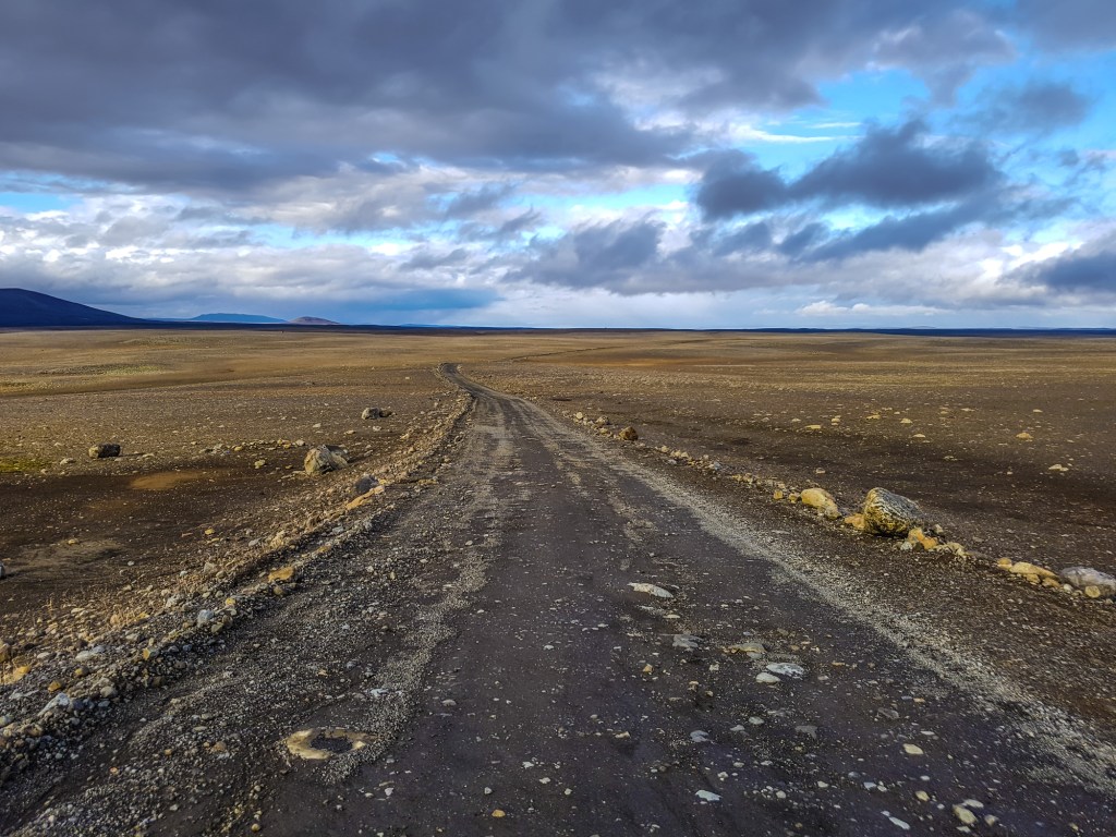
For a less treacherous route to Iceland's highlands, Route F35–also known as the Kjölur route–is your best bet. The allure of the highlands is its stark, rugged landscape and wide-open spaces. It’s easy to feel alone in this part of Iceland, as the region does not attract crowds, but those that make the effort to get here find it worthwhile. You will find a vast landscape of flatlands punctuated by mountains and glaciers. If you are after remoteness and tranquility, this is the place.

Sights along the Kjölur Route
Langjökull Glacier
Route F35
At 952 sq km (368 sq mi), Langjökull (Long Glacier) is the second-largest ice cap in Iceland after Vatnajökull. The ice is quite thick, up to 580 m (1,900 ft) deep. The highest point of the ice cap is about 1,450 m (4,760 ft) above sea level. The rocky terrain and snowy patches are vast and haunting.
Route F35 runs along the east side of Langjökull, between it and Hofsjökull. From Reykjavík, head east on Route 1. Before you reach the town of Selfoss, turn left on F35 and continue past Gullfoss for about 37 km (23 mi).
Hveravellir Nature Reserve
Route F35; tel. 354/452-3200; www.hveravellir.is
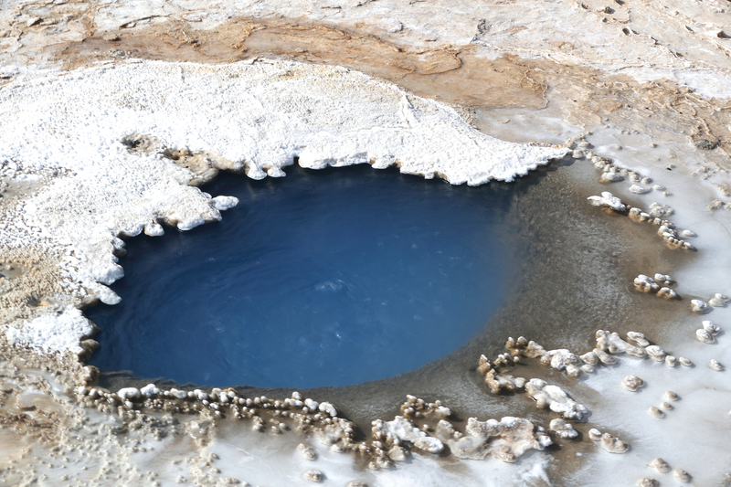
Situated in the western highlands, the Hveravellir Nature Reserve is one of the last great wilderness spots in Europe. It’s about 90 km (56 mi) north of Gullfoss on Route F35. Hveravellir is a natural geothermal hot spot with smoking fumaroles and bubbling water holes, and it's a special experience to see geothermal energy at work. It's also a popular place to hike.
There are private rooms in one of two huts, called the New Hut (28,800ISK, linens and breakfast included), as well as dormitories (8,000ISK pp), and a campsite (1,900ISK pp) available within the reserve. One bathing-friendly waist-deep pool is situated close to the mountain huts, and it's a safe place to take a dip.
Kerlingarfjöll
Route F35, GPS coordinates N 64.6834, W 19.2999; tel. 354-664-7000; www.kerlingarfjoll.is
The mountain range Kerlingarfjöll (Women’s Mountains) shows all the characteristics of a matured caldera, including volcanic formations and geothermal hot spots. In short, this is a geology buff’s dream. The towering peaks were created by eruptions from a large caldera lying under the mountains; while the caldera is still considered active, it has been silent for tens of thousands of years. Visitors will see steep slopes and pointy peaks dotted with ice, leading into a hotbed of geothermal activity. While the earth steams below, aboveground it's quiet and desolate.
Kerlingarfjöll Highland Base
tel. 354/571-1200; www.kerlingarfjoll.is
The recently opened Kerlingarfjöll Highland Base includes a luxury hotel with 26 rooms, 2 suites and 6 private cabins (from 72,000ISK), a 20-room hostel with shared and private rooms (42,000ISK), and a campsite (3,000ISK). The hotel is a mixture of cozy and modern, with soft hues, lots of wood accents, and large windows overlooking the stark highland scenery. The restaurant is open year-round and serves three meals a day, along with packed lunches for those embarking on outdoor activities or tours. A dinner buffet (11,900ISK pp, children 5,950ISK) features fresh fish, local lamb, an assortment of hot and cold dishes, vegan options, and delicious desserts. Meanwhile, the main event for many is the hot baths nestled among the mountainous landscape. Entrance is included for hotel guests, and you will find hot sediment pools, a sauna, a cold tub, and pleasant changing facilities on the premises.
To get to Kerlingarfjöll from Gullfoss, drive north on F35. For 15 km (9 mi) the road is asphalt, and the remaining 38-km (24-mi) section is gravel.
Hofsjökull Glacier
GPS coordinates N 64.8167, W 18.8167, east of Vatnajokull, between Vididalur and Hofsdalur
Hofsjökull (Temple Glacier) is the third-largest glacier in Iceland after Vatnajökull and Langjökull. It is situated in the western highlands, north of the mountain range Kerlingarfjöll. The glacier covers an area of 925 sq km, reaching 1,765 m (5,791 ft) at the top. It’s vast and can be quite windy. Visitors have to be careful of huge crevasses in the ice.
Hiking Iceland’s Highlands
Hikers have many choices for roaming the interior. These popular options vary in scenery and degree of difficulty.
Hveradalir
GPS coordinates N 64.6453, W 19.2825
Hiking the geothermal area of Hveradalir (Hot Springs Valley) is wildly popular, and for good reason. The valley offers views of mountains, vast expanses of desert-like earth marked by steam vents (reminding visitors that the land is very much alive), and hot springs. Hveradalir is accessible off Route 1.
Neðri-Hveradalir Hike
Distance: 3-km (1.9-mi) loop; Hiking Time: 3 hours; Information and Maps: www.visiticeland.is; Trailhead: Neðri-Hveradalir car park
A moderate hike begins at the car park by Neðri-Hveradalir (Lower Hveradalir) and takes you through the geothermal area of Hveradalir, where ice and fire meet. The route is a 3-km (1.9-mi) loop that takes about three hours. Hikers will view the stark white glacial landscape and see the steam rise out of the ground near the numerous hot springs. Muted colors of brown and black in a desert-like landscape give way to pockets of stark white snow in some regions and lush green vegetation in others. Every few meters you'll want to stop and take in the views, and everything seems to warrant a photo.
Ásgarðsá River Hike
Distance: 11.2-km (7-mi) loop; Hiking Time: 5 hours; Information and Maps: www.visiticeland.is; Trailhead: Keis car park
For a longer, more demanding hike, start at the car park called Keis, toward the bottom of Hveradalir, where you follow the Ásgarðsá River for 4.5 km (2.8 mi). The hike is an 11.2-km (7-mi) loop. Being so close to the river, you will see vegetation, which is a rare sight in much of the highlands. During the hike, there will be points where you have to ford water, so dress accordingly. Hikers will pass hills and geothermal hot spots as the river twists and turns. Overall, it’s a five-hour hike and moderately difficult.
Kerlingarfjöll
Distance: 7-km (4.3-mi) loop; Hiking Time: 6 hours; Information and Maps: www.visiticeland.is; Trailhead: Kastali car park
For a more difficult walk, start at the car park called Kastali and continue to 1,432-m (4,698-ft) Mount Lodmundur, then to the highest peak of Kerlingarfjöll, Mount Snækollur, at 1,460 m (4,790 ft). The trail is rocky and there are quite a few slopes, but the payoff is the gorgeous views of the barren landscape below and mountains in the distance. It’s one of the best overviews of the highlands. This is a 7-km (4.3-mi) loop hike, which takes about six hours.
Getting To and Around the Kjölur Route
By F-Road-Approved 4WD Vehicle
The 200-km (124-mi) Kjölur route (Route F35) begins near the picturesque waterfall Gullfoss in the south and extends to Blönduós in the northwest. This route is not a year-round destination: The road typically opens in mid-June, but it could be later if the winter was harsh. The road closes in September, but how early in September depends on the weather. The majority of the route is flat and can be accessible until then (depending on the weather, of course). As elsewhere in the highlands, an F-road-approved 4WD vehicle is required. Be safe, monitor weather reports, and be aware of road conditions.
Be sure to gas up before you head to the highlands, as there are no gas stations in the region. It's best to get supplies in Reykjavík or a large town in the south. Depending on the duration of your trip, it might be necessary to bring gas cans.
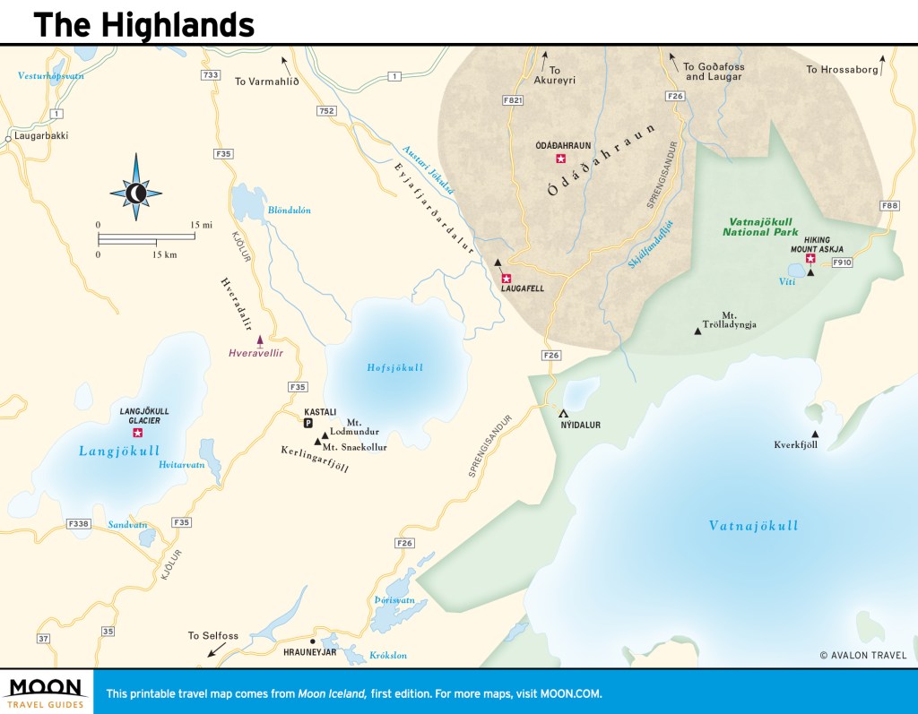
Plan your trip:
Exploring more of Iceland's highlands?
Pin It for Later
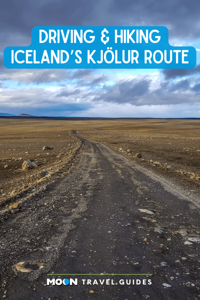

For a less treacherous route to Iceland's highlands, Route F35–also known as the Kjölur route–is your best bet. The allure of the highlands is its stark, rugged landscape and wide-open spaces. It’s easy to feel alone in this part of Iceland, as the region does not attract crowds, but those that make the effort to get here find it worthwhile. You will find a vast landscape of flatlands punctuated by mountains and glaciers. If you are after remoteness and tranquility, this is the place.

Sights along the Kjölur Route
Langjökull Glacier
Route F35
At 952 sq km (368 sq mi), Langjökull (Long Glacier) is the second-largest ice cap in Iceland after Vatnajökull. The ice is quite thick, up to 580 m (1,900 ft) deep. The highest point of the ice cap is about 1,450 m (4,760 ft) above sea level. The rocky terrain and snowy patches are vast and haunting.
Route F35 runs along the east side of Langjökull, between it and Hofsjökull. From Reykjavík, head east on Route 1. Before you reach the town of Selfoss, turn left on F35 and continue past Gullfoss for about 37 km (23 mi).
Hveravellir Nature Reserve
Route F35; tel. 354/452-3200; www.hveravellir.is

Situated in the western highlands, the Hveravellir Nature Reserve is one of the last great wilderness spots in Europe. It’s about 90 km (56 mi) north of Gullfoss on Route F35. Hveravellir is a natural geothermal hot spot with smoking fumaroles and bubbling water holes, and it's a special experience to see geothermal energy at work. It's also a popular place to hike.
There are private rooms in one of two huts, called the New Hut (28,800ISK, linens and breakfast included), as well as dormitories (8,000ISK pp), and a campsite (1,900ISK pp) available within the reserve. One bathing-friendly waist-deep pool is situated close to the mountain huts, and it's a safe place to take a dip.
Kerlingarfjöll
Route F35, GPS coordinates N 64.6834, W 19.2999; tel. 354-664-7000; www.kerlingarfjoll.is
The mountain range Kerlingarfjöll (Women’s Mountains) shows all the characteristics of a matured caldera, including volcanic formations and geothermal hot spots. In short, this is a geology buff’s dream. The towering peaks were created by eruptions from a large caldera lying under the mountains; while the caldera is still considered active, it has been silent for tens of thousands of years. Visitors will see steep slopes and pointy peaks dotted with ice, leading into a hotbed of geothermal activity. While the earth steams below, aboveground it's quiet and desolate.
Kerlingarfjöll Highland Base
tel. 354/571-1200; www.kerlingarfjoll.is
The recently opened Kerlingarfjöll Highland Base includes a luxury hotel with 26 rooms, 2 suites and 6 private cabins (from 72,000ISK), a 20-room hostel with shared and private rooms (42,000ISK), and a campsite (3,000ISK). The hotel is a mixture of cozy and modern, with soft hues, lots of wood accents, and large windows overlooking the stark highland scenery. The restaurant is open year-round and serves three meals a day, along with packed lunches for those embarking on outdoor activities or tours. A dinner buffet (11,900ISK pp, children 5,950ISK) features fresh fish, local lamb, an assortment of hot and cold dishes, vegan options, and delicious desserts. Meanwhile, the main event for many is the hot baths nestled among the mountainous landscape. Entrance is included for hotel guests, and you will find hot sediment pools, a sauna, a cold tub, and pleasant changing facilities on the premises.
To get to Kerlingarfjöll from Gullfoss, drive north on F35. For 15 km (9 mi) the road is asphalt, and the remaining 38-km (24-mi) section is gravel.
Hofsjökull Glacier
GPS coordinates N 64.8167, W 18.8167, east of Vatnajokull, between Vididalur and Hofsdalur
Hofsjökull (Temple Glacier) is the third-largest glacier in Iceland after Vatnajökull and Langjökull. It is situated in the western highlands, north of the mountain range Kerlingarfjöll. The glacier covers an area of 925 sq km, reaching 1,765 m (5,791 ft) at the top. It’s vast and can be quite windy. Visitors have to be careful of huge crevasses in the ice.
Hiking Iceland’s Highlands
Hikers have many choices for roaming the interior. These popular options vary in scenery and degree of difficulty.
Hveradalir
GPS coordinates N 64.6453, W 19.2825
Hiking the geothermal area of Hveradalir (Hot Springs Valley) is wildly popular, and for good reason. The valley offers views of mountains, vast expanses of desert-like earth marked by steam vents (reminding visitors that the land is very much alive), and hot springs. Hveradalir is accessible off Route 1.
Neðri-Hveradalir Hike
Distance: 3-km (1.9-mi) loop; Hiking Time: 3 hours; Information and Maps: www.visiticeland.is; Trailhead: Neðri-Hveradalir car park
A moderate hike begins at the car park by Neðri-Hveradalir (Lower Hveradalir) and takes you through the geothermal area of Hveradalir, where ice and fire meet. The route is a 3-km (1.9-mi) loop that takes about three hours. Hikers will view the stark white glacial landscape and see the steam rise out of the ground near the numerous hot springs. Muted colors of brown and black in a desert-like landscape give way to pockets of stark white snow in some regions and lush green vegetation in others. Every few meters you'll want to stop and take in the views, and everything seems to warrant a photo.
Ásgarðsá River Hike
Distance: 11.2-km (7-mi) loop; Hiking Time: 5 hours; Information and Maps: www.visiticeland.is; Trailhead: Keis car park
For a longer, more demanding hike, start at the car park called Keis, toward the bottom of Hveradalir, where you follow the Ásgarðsá River for 4.5 km (2.8 mi). The hike is an 11.2-km (7-mi) loop. Being so close to the river, you will see vegetation, which is a rare sight in much of the highlands. During the hike, there will be points where you have to ford water, so dress accordingly. Hikers will pass hills and geothermal hot spots as the river twists and turns. Overall, it’s a five-hour hike and moderately difficult.
Kerlingarfjöll
Distance: 7-km (4.3-mi) loop; Hiking Time: 6 hours; Information and Maps: www.visiticeland.is; Trailhead: Kastali car park
For a more difficult walk, start at the car park called Kastali and continue to 1,432-m (4,698-ft) Mount Lodmundur, then to the highest peak of Kerlingarfjöll, Mount Snækollur, at 1,460 m (4,790 ft). The trail is rocky and there are quite a few slopes, but the payoff is the gorgeous views of the barren landscape below and mountains in the distance. It’s one of the best overviews of the highlands. This is a 7-km (4.3-mi) loop hike, which takes about six hours.
Getting To and Around the Kjölur Route
By F-Road-Approved 4WD Vehicle
The 200-km (124-mi) Kjölur route (Route F35) begins near the picturesque waterfall Gullfoss in the south and extends to Blönduós in the northwest. This route is not a year-round destination: The road typically opens in mid-June, but it could be later if the winter was harsh. The road closes in September, but how early in September depends on the weather. The majority of the route is flat and can be accessible until then (depending on the weather, of course). As elsewhere in the highlands, an F-road-approved 4WD vehicle is required. Be safe, monitor weather reports, and be aware of road conditions.
Be sure to gas up before you head to the highlands, as there are no gas stations in the region. It's best to get supplies in Reykjavík or a large town in the south. Depending on the duration of your trip, it might be necessary to bring gas cans.

Plan your trip:
Exploring more of Iceland's highlands?
Pin It for Later

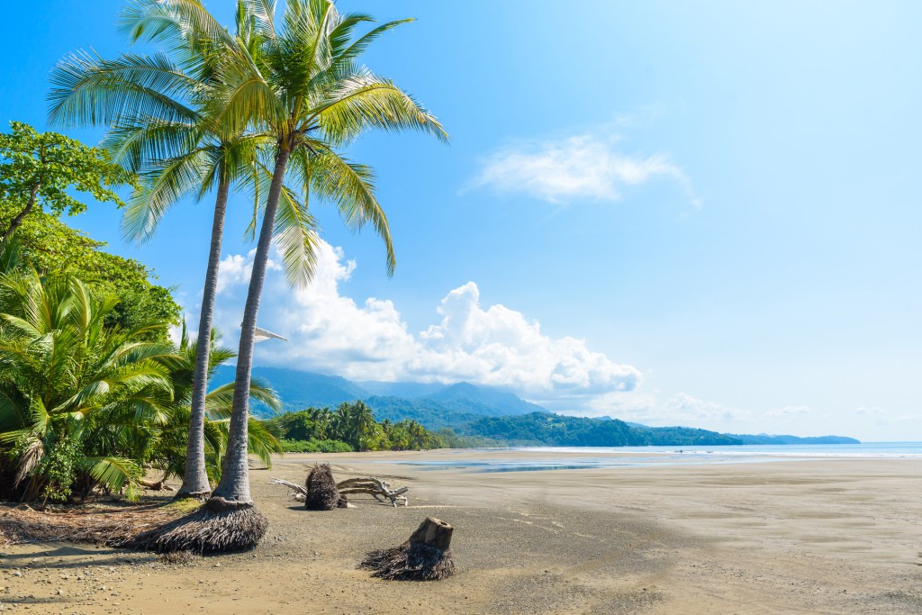
With coasts on the Pacific Ocean and the Caribbean Sea, Costa Rica offers no shortage of beaches. Here's how to choose the best one for you!
Great for Sinking Your Toes Into
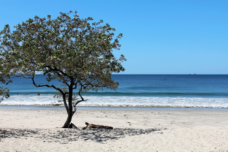
Playa Flamingo, the west end of Playa Conchal, and Playa Puerto Viejo—all on the northern Pacific coast—have sand soft enough to snuggle in.
Best for Spotting Wildlife
Troops of monkeys play around the beach at Playa Manuel Antonio in Parque Nacional Manuel Antonio and Playa Blanca in Parque Nacional Cahuita. Other wildlife species make occasional appearances.
Perfect for Exploring Tide Pools
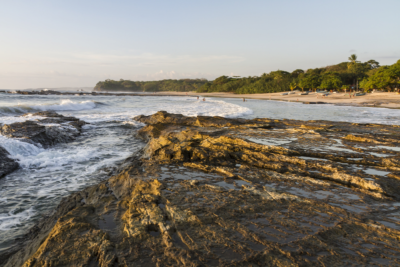
At low tide, the rocky shores of Playa Pelada, Playa Las Manchas, and Playa Los Suecos on the Nicoya Peninsula provide little pools that you'll love wading in.
Most Spectacular Sunsets
Sunsets along both coasts are incredible, but the most jaw-dropping are seen from Playa Hermosa in Guanacaste and Playa Carrillo on the Nicoya Peninsula.
Super for Swimming
Swimming is a gentle experience in the calm bays and coves that shelter Playa Nacascolo on the northern Pacific coast, Playa Sámara on the Nicoya Peninsula, and Playa Biesanz on the central Pacific coast from big waves and strong currents.
Ideal for Taking Long Walks

At low tide, visit the sun-soaked Playa Uvita in Parque Nacional Marino Ballena and walk the giant whale-tail-shaped sandbar that juts out into the ocean.
Most Idyllic
Playa Tropical at the Nicoya Peninsula's remote-feeling Isla Tortuga and the paradisiacal Playa Arrecife on the Caribbean coast have soothing turquoise waters.
More adventures await
Pin It for Later

With coasts on the Pacific Ocean and the Caribbean Sea, Costa Rica offers no shortage of beaches. Here's how to choose the best one for you!
Great for Sinking Your Toes Into

Playa Flamingo, the west end of Playa Conchal, and Playa Puerto Viejo—all on the northern Pacific coast—have sand soft enough to snuggle in.
Best for Spotting Wildlife
Troops of monkeys play around the beach at Playa Manuel Antonio in Parque Nacional Manuel Antonio and Playa Blanca in Parque Nacional Cahuita. Other wildlife species make occasional appearances.
Perfect for Exploring Tide Pools

At low tide, the rocky shores of Playa Pelada, Playa Las Manchas, and Playa Los Suecos on the Nicoya Peninsula provide little pools that you'll love wading in.
Most Spectacular Sunsets
Sunsets along both coasts are incredible, but the most jaw-dropping are seen from Playa Hermosa in Guanacaste and Playa Carrillo on the Nicoya Peninsula.
Super for Swimming
Swimming is a gentle experience in the calm bays and coves that shelter Playa Nacascolo on the northern Pacific coast, Playa Sámara on the Nicoya Peninsula, and Playa Biesanz on the central Pacific coast from big waves and strong currents.
Ideal for Taking Long Walks

At low tide, visit the sun-soaked Playa Uvita in Parque Nacional Marino Ballena and walk the giant whale-tail-shaped sandbar that juts out into the ocean.
Most Idyllic
Playa Tropical at the Nicoya Peninsula's remote-feeling Isla Tortuga and the paradisiacal Playa Arrecife on the Caribbean coast have soothing turquoise waters.
More adventures await
Pin It for Later

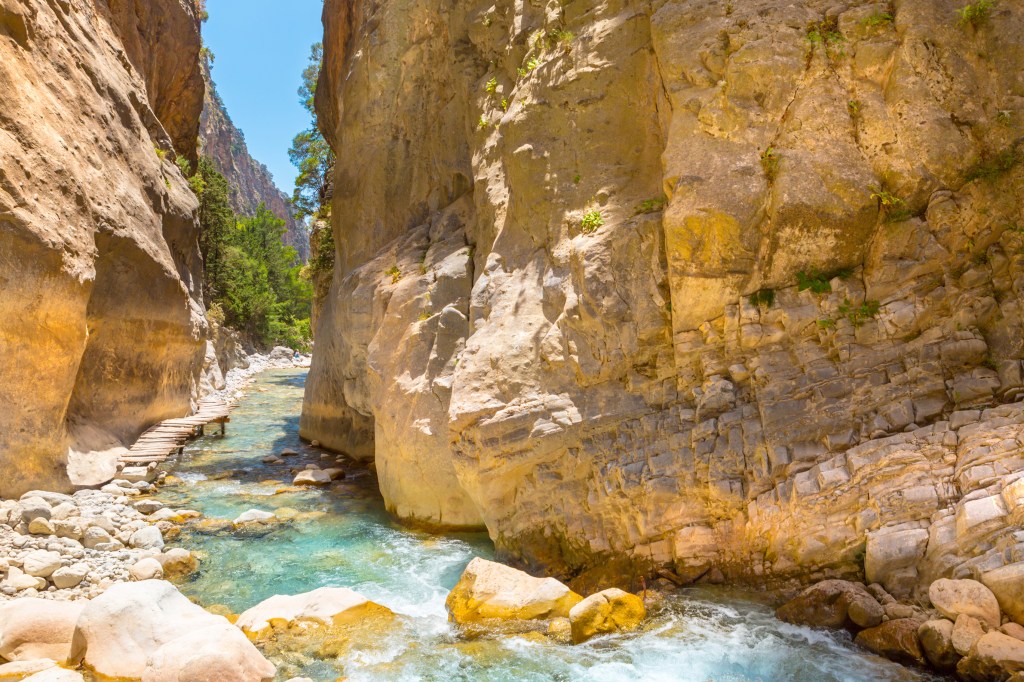
In Greece, local islands are cleaning up their hiking trails, and there’s never been a better time to walk through the islands. Depending on what island and trail you choose, you’ll stumble upon ruins, coastal views, and endemic plants. Here are some of the best hikes in the Greek Islands:
Samaria Gorge, Crete
16 km (10 mi) one-way

Walk through a wildflower-covered gorge that ends with a dip in the sea.
The stunning, 16-km-long (10-mi-long) Samaria Gorge is one of the longest canyons in Europe, and a definite bucket-list item for any athletic visitor to Crete. Sheets of rock zoom up into the blue sky, and bubbling brooks cut through the rocky terrain. The gorge is partly forested, and it’s home to dozens of endemic plants and wildflowers that the Cretan goats like to nibble. The gorge ends at the sea, and you’ll be able to go for a dip after your hike.
The gorge forms the whole region known as White Mountains National Park (the only national park in Crete). Hiking is the best way to experience the gorge; you can’t drive through it.
Chania is 42 km (25 mi) away (1 hour driving). There are morning buses from Chania to Omalos (1 hour; €7.50).
Hiking the Gorge
Distance: 16 km (10 mi) one-way
Duration: 4-8 hours
Effort level: moderate
This hike takes you through the gorge itself. You’ll start the hike in the village of Xylóskalo just south of Omalos, following a steep, stony path before catching a glimpse of the Agios Nikolaos chapel. Say a quick prayer (you may need it for the next dozen kilometers), and continue through the abandoned village of Samaria, a geological feature known as the Sideroportes (Iron Gates) at the 11-km (6.8-mi) marker, and the final stretch to Agia Roumeli (the exit of the gorge), where the turquoise Mediterranean laps at the beach. You can stop here to have a beer and dip your feet in the cool water. In Agia Roumeli, Anendyk (www.anendyk.gr) ferries wait to take hikers to Sougia or Hora Sfakion (€10). From there, you can take a public bus (1.5 hours, €8.30) or taxi (€95) back to Chania.
It’s best to start the hike in the early morning, as the park rangers don’t let anyone hike more than 2 km (1.2 mi) after 2pm, and you’ll need to be out of the gorge by sunset (camping overnight is strictly forbidden). Bring a water bottle (you can fill up at taps along the way), wet wipes (for the bathrooms along the trail, which may or may not have paper), snacks, sunscreen, and good walking shoes. Most people choose to go on an organized hiking tour (you’ll see operators around Chania advertising). Tours cost around €30 and include transportation to and from the gorge to your hotel, but it’s also feasible to hike on your own.
Alonnisos
This herb-scented island is basically a walker’s paradise. Start off with the small walk between the port and Palio Alonnisos; at the end of your hike you can reward yourself with a slice of cake from Hayiati.
Alonnisos has 21 surveyed, numbered, and signposted walks, which include both short walks to hidden beaches and longer routes. Thanks to the effort to clean and organize these hikes, Alonnisos is a lot easier of an island to hike on your own than, say, Samothrace. Add to that the pure air, the beautiful vistas, and the stunning flora and fauna you’ll get to walk through, and you'll see why Alonnisos is truly a hiker’s paradise.
One of my favorite routes is from Gerakas to Tourkou Mnima:
Gerakas To Tourkou Mnima
Distance: 2.6 km (1.6 mi) one-way
Duration: 30 minutes
Effort level: moderate
This short walk goes from Gerakas to the cove of Tourkou Mnima and takes you well off the beaten path. It’s not part of the numbered, “official” hikes, but it is marked with red dots so you won’t lose your way. From the snack bar on Gerakas, and before the little chapel of Agios Nikolaos, head east along the coast. At some points the vegetation will get quite thick, but it’s passable. About 1 km (0.6 mi) in, you’ll see the pebbled bay of Tourkou Mnima; continue for another 200 m (650 ft) till the end of the path and go for a dip in the water. Go back the way you came to return to Gerakas.
Corfu Trail, Corfu
150-km (93-mi) loop; can be hiked in sections
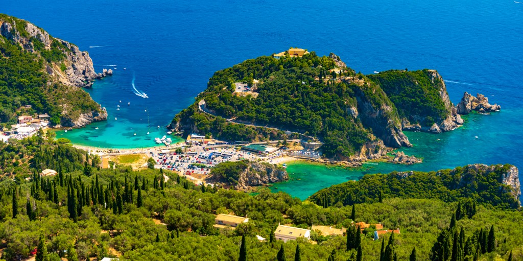
Hike through well-marked paths on this intense route that circles all of Corfu, passing through villages, across streams, and through forests.
The Corfu Trail is a 150-k-long (93-mi-long) hike, marked by yellow signposts, that covers nearly all of the island, starting in Kavos and ending at St. Spyridon beach. If you’re physically capable, it’s one of the best ways to revel in Corfu’s natural beauty and to get away from the hustle and bustle of the island’s touristic side.
Routes
From Paleokastritsa, serious hikers can follow the Corfu Trail to the villages of Lakones (4.6 km/2.8 mi, 1.5 hours, moderate) and Krini (7 km/4.3 mi, 2.5 hours, challenging), where you’ll find the ruins of the Byzantine fortress of Angelokastro and breathtaking views of Paleokastritsa. As you walk, you’ll pass through scented orange and lemon groves, and you’ll catch glimpses of the glittering blue sea. You can also drive; it’s a beautiful drive along the coast and up through the mountains. From Corfu Town, it’s 27 km (17 mi) northwest (45 minutes).
Guided Hikes
The folks at Corfu Trail have marked off dozens of trails around the island, and can organize week-long walking trips, including options on the Corfu Trail (pricing upon request only) for you. A good way to dip your toe in is by hiking one of the routes around Mount Pantokrator.
Mount Zas, Naxos
5.6 km (3.5 mi) loop
Scale the mountain where it’s said Zeus was born. The views will make you feel as though you’re floating above Naxos.
Standing tall at 1,004 m (3,280 ft), Mount Zas is the highest mountain in the Cyclades. It’s also known as Mount Zeus, as it’s thought to be where Zeus was brought to be birthed in order to escape the wrath of his father. Zeus went on to become king of the Olympians. It’s a place with very strong energy!
There are two popular routes for hiking Mount Zas. One is the well-marked, relatively easy 5.6-km (3.5-mi) loop from the church of Agia Marina: Drive from Filoti toward Apiranthos for 3.3 km (2 mi), and at the junction turn right to head to Danakos. Continue for 800 m (2,600 ft), and Agia Marina is the second church on the right-hand side. The other route is the 5-km (3-mi) loop from Aria Spring next to Filoti. The first half is well marked; beyond the cave you’ll just follow the beaten footpath. At some points, the walk can be steep, so make sure to bring sturdy shoes and plenty of water, and if you’re hiking in the summer, use sunscreen. The views alone are worth the hike up here—you’ll feel like you’re floating above Naxos. For more information, see www.naxostrek.com.
Fonias River, Samothrace
5 km (3 mi) one-way
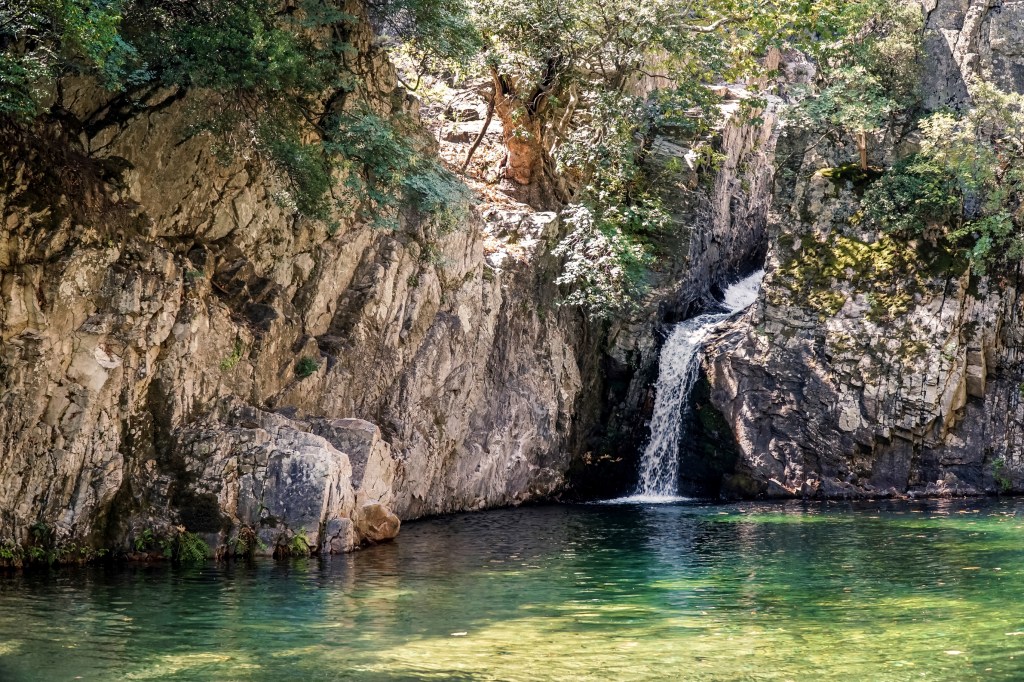
Trek along a river to a large pool (perfect for a dip) and waterfall.
Distance: 5km (3 mi) one-way
Duration: 45 minutes
Effort level: Easy
Fonias means “murderer” in Greek, and this river is so named because, outside of the docile summer months, serious flooding transforms the water into a gushing cascade. The river starts about 4.7 km (just under 3 mi) east of Therma, near the Genovese Tower of Fonias, built in 1431. You'll notice ticket booths that are open only in the summer—this is the starting point. Still standing (relatively) tall at 12 m (39 ft), the tower was built out of stone, plaster, and tiles, as part of a defensive line by the Gattilusio family. There’s no reason to go out of your way to see this, but if you’re hiking up Fonias River, it makes a nice pit stop (accessible by car). You can also drive from Therma to start of the trailhead and park your car in front of the tower and then continue walking.
The path meanders along the river heading into the interior of the island. The first 40 minutes (about 1.5 km/0.9 mi) are well marked, at which point you’ll come across a large rock pool perfect for a dip and a 12-m (39-ft) waterfall called Paradeisos. The second pool is another 2 hours’ walk, but unfortunately, the paths to it and the other five waterfalls and pools are not marked. To find them, consult with Hellas Canyoning before hiking farther. Each year, a lot of hikers get temporarily lost in the wilderness.
Folegandros’ Northwest Coast
Three separate trails (2-5.5 km/1.2-3.4 mi each) lead across the northwest coast of Folegandros, which is populated by only a few homes and farms. Depending on which trail you choose, you can access churches, a lighthouse, or, on the following hike, hidden beaches and coves:
Ano Meria To Ampeli Beach
Distance: 2 km (1.2 mi)
Duration: 30 minutes one-way
Effort level: moderate
The fastest hike from Ano Meria will take you west, first along a paved path to the Agios Panteleimonas church, before the road splits in two. Follow the southern hike down (it will suddenly steeply descend) to reach the beach of Ampeli, a small cove with turquoise waters and a strip of sand that’s accessible only on foot or by boat. Bring water and snacks!
Start planning your adventure today.
[hbg-newsletter call_to_action="Want travel inspiration sent straight to your inbox?" button_text="Sign up" list_id_override="c89b0f3998" /] [hbg-post heading="What to read next:" id="838250,838384,843708" /]Pin It for Later


In Greece, local islands are cleaning up their hiking trails, and there’s never been a better time to walk through the islands. Depending on what island and trail you choose, you’ll stumble upon ruins, coastal views, and endemic plants. Here are some of the best hikes in the Greek Islands:
Samaria Gorge, Crete
16 km (10 mi) one-way

Walk through a wildflower-covered gorge that ends with a dip in the sea.
The stunning, 16-km-long (10-mi-long) Samaria Gorge is one of the longest canyons in Europe, and a definite bucket-list item for any athletic visitor to Crete. Sheets of rock zoom up into the blue sky, and bubbling brooks cut through the rocky terrain. The gorge is partly forested, and it’s home to dozens of endemic plants and wildflowers that the Cretan goats like to nibble. The gorge ends at the sea, and you’ll be able to go for a dip after your hike.
The gorge forms the whole region known as White Mountains National Park (the only national park in Crete). Hiking is the best way to experience the gorge; you can’t drive through it.
Chania is 42 km (25 mi) away (1 hour driving). There are morning buses from Chania to Omalos (1 hour; €7.50).
Hiking the Gorge
Distance: 16 km (10 mi) one-way
Duration: 4-8 hours
Effort level: moderate
This hike takes you through the gorge itself. You’ll start the hike in the village of Xylóskalo just south of Omalos, following a steep, stony path before catching a glimpse of the Agios Nikolaos chapel. Say a quick prayer (you may need it for the next dozen kilometers), and continue through the abandoned village of Samaria, a geological feature known as the Sideroportes (Iron Gates) at the 11-km (6.8-mi) marker, and the final stretch to Agia Roumeli (the exit of the gorge), where the turquoise Mediterranean laps at the beach. You can stop here to have a beer and dip your feet in the cool water. In Agia Roumeli, Anendyk (www.anendyk.gr) ferries wait to take hikers to Sougia or Hora Sfakion (€10). From there, you can take a public bus (1.5 hours, €8.30) or taxi (€95) back to Chania.
It’s best to start the hike in the early morning, as the park rangers don’t let anyone hike more than 2 km (1.2 mi) after 2pm, and you’ll need to be out of the gorge by sunset (camping overnight is strictly forbidden). Bring a water bottle (you can fill up at taps along the way), wet wipes (for the bathrooms along the trail, which may or may not have paper), snacks, sunscreen, and good walking shoes. Most people choose to go on an organized hiking tour (you’ll see operators around Chania advertising). Tours cost around €30 and include transportation to and from the gorge to your hotel, but it’s also feasible to hike on your own.
Alonnisos
This herb-scented island is basically a walker’s paradise. Start off with the small walk between the port and Palio Alonnisos; at the end of your hike you can reward yourself with a slice of cake from Hayiati.
Alonnisos has 21 surveyed, numbered, and signposted walks, which include both short walks to hidden beaches and longer routes. Thanks to the effort to clean and organize these hikes, Alonnisos is a lot easier of an island to hike on your own than, say, Samothrace. Add to that the pure air, the beautiful vistas, and the stunning flora and fauna you’ll get to walk through, and you'll see why Alonnisos is truly a hiker’s paradise.
One of my favorite routes is from Gerakas to Tourkou Mnima:
Gerakas To Tourkou Mnima
Distance: 2.6 km (1.6 mi) one-way
Duration: 30 minutes
Effort level: moderate
This short walk goes from Gerakas to the cove of Tourkou Mnima and takes you well off the beaten path. It’s not part of the numbered, “official” hikes, but it is marked with red dots so you won’t lose your way. From the snack bar on Gerakas, and before the little chapel of Agios Nikolaos, head east along the coast. At some points the vegetation will get quite thick, but it’s passable. About 1 km (0.6 mi) in, you’ll see the pebbled bay of Tourkou Mnima; continue for another 200 m (650 ft) till the end of the path and go for a dip in the water. Go back the way you came to return to Gerakas.
Corfu Trail, Corfu
150-km (93-mi) loop; can be hiked in sections

Hike through well-marked paths on this intense route that circles all of Corfu, passing through villages, across streams, and through forests.
The Corfu Trail is a 150-k-long (93-mi-long) hike, marked by yellow signposts, that covers nearly all of the island, starting in Kavos and ending at St. Spyridon beach. If you’re physically capable, it’s one of the best ways to revel in Corfu’s natural beauty and to get away from the hustle and bustle of the island’s touristic side.
Routes
From Paleokastritsa, serious hikers can follow the Corfu Trail to the villages of Lakones (4.6 km/2.8 mi, 1.5 hours, moderate) and Krini (7 km/4.3 mi, 2.5 hours, challenging), where you’ll find the ruins of the Byzantine fortress of Angelokastro and breathtaking views of Paleokastritsa. As you walk, you’ll pass through scented orange and lemon groves, and you’ll catch glimpses of the glittering blue sea. You can also drive; it’s a beautiful drive along the coast and up through the mountains. From Corfu Town, it’s 27 km (17 mi) northwest (45 minutes).
Guided Hikes
The folks at Corfu Trail have marked off dozens of trails around the island, and can organize week-long walking trips, including options on the Corfu Trail (pricing upon request only) for you. A good way to dip your toe in is by hiking one of the routes around Mount Pantokrator.
Mount Zas, Naxos
5.6 km (3.5 mi) loop
Scale the mountain where it’s said Zeus was born. The views will make you feel as though you’re floating above Naxos.
Standing tall at 1,004 m (3,280 ft), Mount Zas is the highest mountain in the Cyclades. It’s also known as Mount Zeus, as it’s thought to be where Zeus was brought to be birthed in order to escape the wrath of his father. Zeus went on to become king of the Olympians. It’s a place with very strong energy!
There are two popular routes for hiking Mount Zas. One is the well-marked, relatively easy 5.6-km (3.5-mi) loop from the church of Agia Marina: Drive from Filoti toward Apiranthos for 3.3 km (2 mi), and at the junction turn right to head to Danakos. Continue for 800 m (2,600 ft), and Agia Marina is the second church on the right-hand side. The other route is the 5-km (3-mi) loop from Aria Spring next to Filoti. The first half is well marked; beyond the cave you’ll just follow the beaten footpath. At some points, the walk can be steep, so make sure to bring sturdy shoes and plenty of water, and if you’re hiking in the summer, use sunscreen. The views alone are worth the hike up here—you’ll feel like you’re floating above Naxos. For more information, see www.naxostrek.com.
Fonias River, Samothrace
5 km (3 mi) one-way

Trek along a river to a large pool (perfect for a dip) and waterfall.
Distance: 5km (3 mi) one-way
Duration: 45 minutes
Effort level: Easy
Fonias means “murderer” in Greek, and this river is so named because, outside of the docile summer months, serious flooding transforms the water into a gushing cascade. The river starts about 4.7 km (just under 3 mi) east of Therma, near the Genovese Tower of Fonias, built in 1431. You'll notice ticket booths that are open only in the summer—this is the starting point. Still standing (relatively) tall at 12 m (39 ft), the tower was built out of stone, plaster, and tiles, as part of a defensive line by the Gattilusio family. There’s no reason to go out of your way to see this, but if you’re hiking up Fonias River, it makes a nice pit stop (accessible by car). You can also drive from Therma to start of the trailhead and park your car in front of the tower and then continue walking.
The path meanders along the river heading into the interior of the island. The first 40 minutes (about 1.5 km/0.9 mi) are well marked, at which point you’ll come across a large rock pool perfect for a dip and a 12-m (39-ft) waterfall called Paradeisos. The second pool is another 2 hours’ walk, but unfortunately, the paths to it and the other five waterfalls and pools are not marked. To find them, consult with Hellas Canyoning before hiking farther. Each year, a lot of hikers get temporarily lost in the wilderness.
Folegandros’ Northwest Coast
Three separate trails (2-5.5 km/1.2-3.4 mi each) lead across the northwest coast of Folegandros, which is populated by only a few homes and farms. Depending on which trail you choose, you can access churches, a lighthouse, or, on the following hike, hidden beaches and coves:
Ano Meria To Ampeli Beach
Distance: 2 km (1.2 mi)
Duration: 30 minutes one-way
Effort level: moderate
The fastest hike from Ano Meria will take you west, first along a paved path to the Agios Panteleimonas church, before the road splits in two. Follow the southern hike down (it will suddenly steeply descend) to reach the beach of Ampeli, a small cove with turquoise waters and a strip of sand that’s accessible only on foot or by boat. Bring water and snacks!
Start planning your adventure today.
[hbg-newsletter call_to_action="Want travel inspiration sent straight to your inbox?" button_text="Sign up" list_id_override="c89b0f3998" /] [hbg-post heading="What to read next:" id="838250,838384,843708" /]Pin It for Later

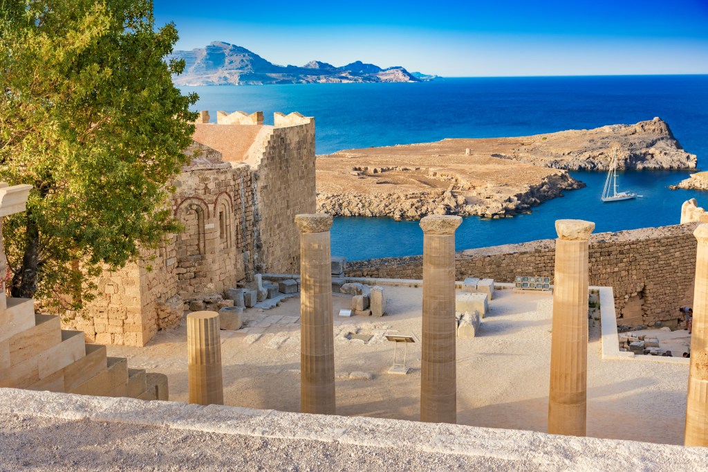
With their stunning beaches, picturesque landscapes, and inviting atmosphere, it’s no wonder the Greek Islands attract millions of visitors every year. Dreaming up plans for a trip in the years to come? We’ve got you covered on the basics:

When to Go
High Season (June-August)
Summer, when temperatures (and prices!) soar, is the high season in Greece. Business is in full swing, and you’ll find everything open, usually for longer hours. Though the weather is great (28-40°C/82-104°F), the crowds can be relentless, especially in August (and particularly the middle two weeks of the month). If you’re going to travel during this time, be prepared to make plenty of reservations and wait in lots of lines, especially if you’re going to blockbuster islands like Mykonos, Santorini, or Crete.
Shoulder Season (April-May and September-October)
The months bookending the summer season (particularly May and September) are great times to visit the islands. The crowds aren’t so intense, the weather is mild but warm enough to enjoy the beaches (12-25°C/54-77°F in fall, 9-25°C/48-77° in spring), and you’ll be able to snag reservations that would be impossible in mid-August. By October the weather has usually cooled down, but you can still swim.
Low Season (November-March)
Aside from a few islands with a substantial population and other forms of economy, you’ll find nearly everything on the islands closed. Only islands with larger populations, like Crete, Lesvos, and Corfu, have plenty of restaurants, stores, museums, etc., that stay open all year. The weather is cold and rainy (6-16°C/43-61°F), and boat services are greatly reduced, especially to the smaller islands. Some islands might be worth visiting for specific holidays. Skyros, for example, has a great festival during pre-Lent Carnival (usually in February), but try going to Anafi in November and you’ll be sorely disappointed.
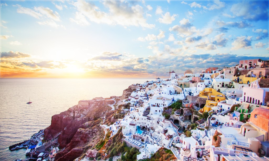
Know Before You Go
Passports & Visas
You’ll need a valid passport to enter Greece (or an ID card if you’re coming from another EU country). Greece is part of the Schengen zone, so Americans, Australians, Canadians, and Brits are granted three months to travel around without applying for a visa. If you wish to stay longer, you’ll need to get a six-month tourist visa from your country’s Greek embassy.
Transportation
Travel between islands is not always straightforward. In general, it is easy to travel within island groups (the Dodecanese, the Cyclades), but traveling between them almost always requires a stop in Athens (if you are flying), or through a major port like Piraeus, Iraklion, or Volos. There are no puddle-jumping planes between islands.
Air
Depending on which island you’re visiting, it can be convenient to fly directly to that island’s airport (Crete, Mykonos, Corfu) or to the Eleftherios Venizelos Airport in Athens (35 km/22 mi from the city center). From Athens you can connect to islands through the domestic airlines. Depending on which island you’re visiting, your flight from Athens will take around 45 minutes to 1 hour.
Boat
A comprehensive ferry system travels between the islands and the mainland ports.
To get to Crete, the Cycladic islands (Santorini, Mykonos, Folegandros, Milos, Naxos, Anafi), and the Dodecanese islands (Karpathos), you’ll go from Piraeus port near Athens. There are also two other ports, Rafina and Lavrio, with service to Cycladic islands.
For the Ionian island of Corfu, you will leave from Igoumenitsa port (5 hours from Athens). Lefkada is not accessible via mainland port; most travelers drive or fly to reach this destination.
To get to the Sporades island of Alonissos, you’ll need to leave from Volos (4 hours from Athens). It’s also possible to reach Alonissos from Agios Konstantinos (2 hours from Athens) and Kymi in Evia (2 hours from Athens). Skyros, another Sporades island, is only reachable from Kymi.
In terms of the northeast Aegean islands, boats for Lesvos and Ikaria leave from Piraeus; to get to Samothrace you must fly first to Alexandroupoli in the northeast of the country.
What to Take
Greeks are a pretty chic bunch, and you’ll look out of place with rumpled shirts and cut-off jeans. Pack a few nicer summer outfits, especially if you’re spending time on Mykonos, Santorini, or Crete. Choose breathable fabrics like linen and cotton, and pack at least one pair of sandals and one pair of sturdy shoes for walking. Women should bring a modest outfit that covers the knees, shoulders, and chest for visiting churches.
If you’re going to do a lot of walking or hiking, bring hiking shoes, a hat, and a couple of pairs of socks. You can buy granola bars and water bottles in Greece. Most of the islands don’t have drinkable tap water, so it won’t help to bring a reusable water bottle unless it has a water filter. If you want to cut down on plastic waste, bring a reusable water bottle that can filter water.
You can buy snorkel gear, like masks and flippers, on the spot (a snorkel mask costs about €10), but it’s useful to bring your own beach towel. Most accommodations have towels, but they don’t always have towels specifically for the beach, and you might be charged if you forget to bring it back to the hotel.
You’ll want to bring a phone charger, power adapter, credit and debit cards, and your driving license if you’re planning on renting a vehicle. Outlets take either Type C 220V/50Hz or Type F 230V/50Hz standard European plugs (two round prongs). Get an electronic converter that adapts to both for any devices that are not dual voltage.
If you’re prone to seasickness, it’s a good idea to bring some medicine, as well as mosquito repellent and plenty of sunscreen. Add a hat and some sunglasses and you’re good to go.
Start planning your adventure today.
[hbg-post heading="What to read next:" id="838250,838239,838376" /]Pin It for Later

With their stunning beaches, picturesque landscapes, and inviting atmosphere, it’s no wonder the Greek Islands attract millions of visitors every year. Dreaming up plans for a trip in the years to come? We’ve got you covered on the basics:

When to Go
High Season (June-August)
Summer, when temperatures (and prices!) soar, is the high season in Greece. Business is in full swing, and you’ll find everything open, usually for longer hours. Though the weather is great (28-40°C/82-104°F), the crowds can be relentless, especially in August (and particularly the middle two weeks of the month). If you’re going to travel during this time, be prepared to make plenty of reservations and wait in lots of lines, especially if you’re going to blockbuster islands like Mykonos, Santorini, or Crete.
Shoulder Season (April-May and September-October)
The months bookending the summer season (particularly May and September) are great times to visit the islands. The crowds aren’t so intense, the weather is mild but warm enough to enjoy the beaches (12-25°C/54-77°F in fall, 9-25°C/48-77° in spring), and you’ll be able to snag reservations that would be impossible in mid-August. By October the weather has usually cooled down, but you can still swim.
Low Season (November-March)
Aside from a few islands with a substantial population and other forms of economy, you’ll find nearly everything on the islands closed. Only islands with larger populations, like Crete, Lesvos, and Corfu, have plenty of restaurants, stores, museums, etc., that stay open all year. The weather is cold and rainy (6-16°C/43-61°F), and boat services are greatly reduced, especially to the smaller islands. Some islands might be worth visiting for specific holidays. Skyros, for example, has a great festival during pre-Lent Carnival (usually in February), but try going to Anafi in November and you’ll be sorely disappointed.

Know Before You Go
Passports & Visas
You’ll need a valid passport to enter Greece (or an ID card if you’re coming from another EU country). Greece is part of the Schengen zone, so Americans, Australians, Canadians, and Brits are granted three months to travel around without applying for a visa. If you wish to stay longer, you’ll need to get a six-month tourist visa from your country’s Greek embassy.
Transportation
Travel between islands is not always straightforward. In general, it is easy to travel within island groups (the Dodecanese, the Cyclades), but traveling between them almost always requires a stop in Athens (if you are flying), or through a major port like Piraeus, Iraklion, or Volos. There are no puddle-jumping planes between islands.
Air
Depending on which island you’re visiting, it can be convenient to fly directly to that island’s airport (Crete, Mykonos, Corfu) or to the Eleftherios Venizelos Airport in Athens (35 km/22 mi from the city center). From Athens you can connect to islands through the domestic airlines. Depending on which island you’re visiting, your flight from Athens will take around 45 minutes to 1 hour.
Boat
A comprehensive ferry system travels between the islands and the mainland ports.
To get to Crete, the Cycladic islands (Santorini, Mykonos, Folegandros, Milos, Naxos, Anafi), and the Dodecanese islands (Karpathos), you’ll go from Piraeus port near Athens. There are also two other ports, Rafina and Lavrio, with service to Cycladic islands.
For the Ionian island of Corfu, you will leave from Igoumenitsa port (5 hours from Athens). Lefkada is not accessible via mainland port; most travelers drive or fly to reach this destination.
To get to the Sporades island of Alonissos, you’ll need to leave from Volos (4 hours from Athens). It’s also possible to reach Alonissos from Agios Konstantinos (2 hours from Athens) and Kymi in Evia (2 hours from Athens). Skyros, another Sporades island, is only reachable from Kymi.
In terms of the northeast Aegean islands, boats for Lesvos and Ikaria leave from Piraeus; to get to Samothrace you must fly first to Alexandroupoli in the northeast of the country.
What to Take
Greeks are a pretty chic bunch, and you’ll look out of place with rumpled shirts and cut-off jeans. Pack a few nicer summer outfits, especially if you’re spending time on Mykonos, Santorini, or Crete. Choose breathable fabrics like linen and cotton, and pack at least one pair of sandals and one pair of sturdy shoes for walking. Women should bring a modest outfit that covers the knees, shoulders, and chest for visiting churches.
If you’re going to do a lot of walking or hiking, bring hiking shoes, a hat, and a couple of pairs of socks. You can buy granola bars and water bottles in Greece. Most of the islands don’t have drinkable tap water, so it won’t help to bring a reusable water bottle unless it has a water filter. If you want to cut down on plastic waste, bring a reusable water bottle that can filter water.
You can buy snorkel gear, like masks and flippers, on the spot (a snorkel mask costs about €10), but it’s useful to bring your own beach towel. Most accommodations have towels, but they don’t always have towels specifically for the beach, and you might be charged if you forget to bring it back to the hotel.
You’ll want to bring a phone charger, power adapter, credit and debit cards, and your driving license if you’re planning on renting a vehicle. Outlets take either Type C 220V/50Hz or Type F 230V/50Hz standard European plugs (two round prongs). Get an electronic converter that adapts to both for any devices that are not dual voltage.
If you’re prone to seasickness, it’s a good idea to bring some medicine, as well as mosquito repellent and plenty of sunscreen. Add a hat and some sunglasses and you’re good to go.
Start planning your adventure today.
[hbg-post heading="What to read next:" id="838250,838239,838376" /]Pin It for Later


